Across America, water is creeping closer to places people call home. From hurricane-battered coastlines to city streets that flood on sunny days, rising seas and sinking land are turning everyday neighborhoods into danger zones.
Scientists warn that the problem is getting worse, not better, and millions of Americans are already feeling the effects. These 15 cities face some of the biggest flood risks in the entire country.
New Orleans, Louisiana
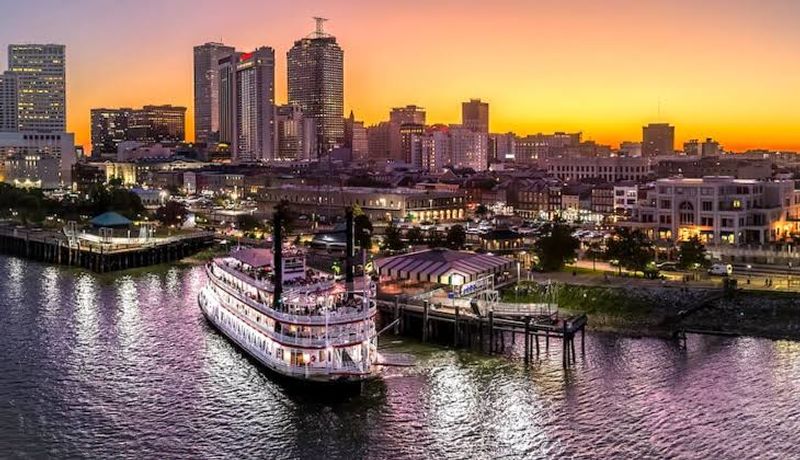
Sitting below sea level in a bowl surrounded by water, New Orleans is arguably the most flood-vulnerable major city in the United States. The ground here sinks a little every year, the coastline erodes constantly, and hurricanes roll in from the Gulf like clockwork.
Hurricane Katrina in 2005 showed the world just how catastrophic that combination can be.
The city’s levee system was rebuilt and upgraded after Katrina, costing billions of dollars. But engineers and scientists openly admit the system is not a permanent fix.
As seas continue rising and the land keeps sinking, the math gets harder every decade.
Residents who stayed after Katrina are resilient and fiercely proud of their city. Still, many neighborhoods remain at risk, especially those farthest from the city center.
Flood insurance rates have skyrocketed, making it difficult for lower-income families to stay. New Orleans is a city fighting hard to survive against some truly staggering natural odds.
Miami, Florida
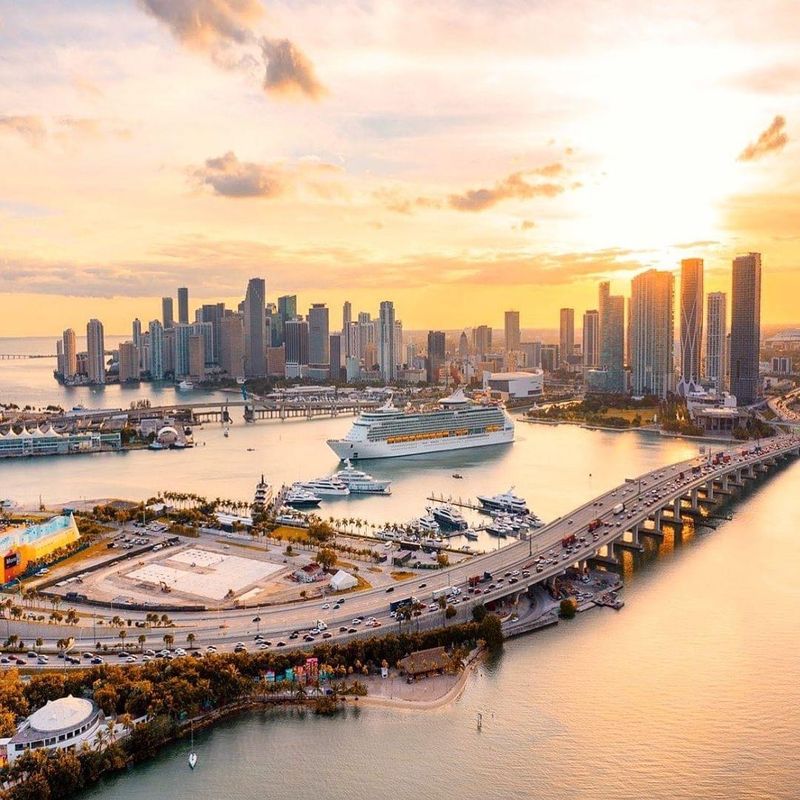
Miami has a flooding problem that sounds almost impossible: streets regularly fill with seawater on perfectly sunny days. No storm needed.
Tides push ocean water up through the porous limestone bedrock beneath the city, and suddenly parking lots and sidewalks are ankle-deep in saltwater. Locals call it “sunny day flooding,” and it happens dozens of times a year.
The real trouble is that you cannot build a wall to stop water coming up from underground. Miami is essentially sitting on a giant sponge, and as sea levels rise, that sponge gets wetter.
Billions in infrastructure improvements have been proposed and partially funded, but the scale of the challenge is enormous.
South Florida is home to nearly 6 million people, and real estate prices remain sky-high despite the risk. Scientists studying sea-level rise consistently rank Miami among the most financially exposed cities on the planet.
The city is working on elevated roads, improved pumps, and stricter building codes, but experts say much more aggressive action is needed to protect Miami’s future.
Norfolk, Virginia
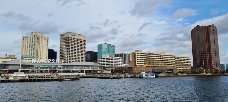
Norfolk holds a somewhat unwanted record: it is one of the fastest-sinking cities on the entire East Coast. The ground beneath it has been slowly compressing for thousands of years, and human activity has sped that process up.
Combined with rising Atlantic sea levels, this city floods more often than almost anywhere else in Virginia.
What makes Norfolk especially significant is what sits there. Naval Station Norfolk is the largest naval base in the world, housing hundreds of ships and tens of thousands of military personnel.
The U.S. Navy has been forced to spend hundreds of millions of dollars raising piers, improving drainage, and relocating equipment just to keep the base functional during high tides.
For everyday residents, flooding has become a genuine quality-of-life issue. Some neighborhoods flood so frequently that homeowners cannot sell their properties.
Roads close regularly, and basements fill with water after heavy rains. The city has launched ambitious resilience plans, including buying out the most flood-prone homes, but the pace of sea-level rise keeps accelerating.
Norfolk is a city where the water is winning ground, quite literally, one inch at a time.
Charleston, South Carolina
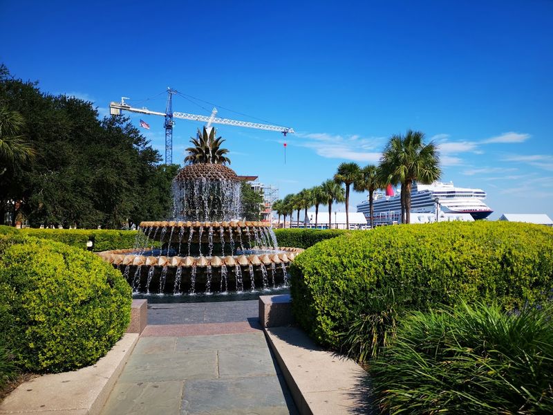
Charleston is one of America’s most beautiful historic cities, full of pastel-painted mansions, cobblestone streets, and centuries of Southern charm. It is also flooding more than ever before.
Tidal flooding events, once rare, now happen dozens of times each year in the downtown historic district. Locals have started keeping rubber boots by the front door as a matter of routine.
The city sits on a low-lying peninsula between two rivers that drain into Charleston Harbor. As sea levels rise, those rivers back up more easily during storms, pushing water into streets and homes that were never designed to handle it.
The historic buildings most people come to admire are increasingly at risk of long-term saltwater damage.
City officials have approved a major flood protection plan that includes seawalls, tide gates, and elevated infrastructure. The price tag runs into the hundreds of millions of dollars.
Some critics argue the plan does not go far enough given projected sea-level rise over the next 50 years. Charleston residents are proud of their history, but preserving that history is becoming an increasingly expensive and complicated challenge.
Houston, Texas
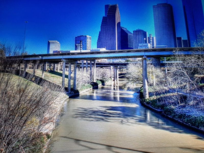
Houston does not just have a hurricane problem. It has a flooding problem baked into its geography, its geology, and its growth patterns all at once.
The city is flat, the clay soil does not absorb water well, and decades of rapid development replaced natural wetlands with concrete. When it rains hard in Houston, which happens a lot, there is simply nowhere for the water to go.
Hurricane Harvey in 2017 dropped more than 60 inches of rain in some areas over just a few days, an amount that shattered all previous U.S. records. Tens of thousands of homes flooded, and damages topped $125 billion.
Scientists noted that climate change made Harvey significantly wetter than it would have been otherwise.
Houston has since invested in buyouts, reservoir improvements, and drainage upgrades. But the city keeps growing outward, paving over more land and reducing natural flood absorption.
Groundwater pumping has also caused parts of Houston to sink by several feet over the past century. Experts warn that without major changes in development patterns and infrastructure investment, catastrophic flooding events like Harvey are likely to become more frequent, not less.
Tampa, Florida
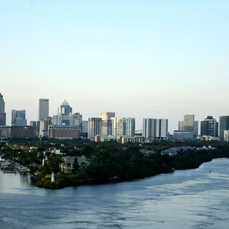
Tampa Bay has not taken a direct hit from a major hurricane in nearly a century, and that long lucky streak has given some residents a false sense of security. Experts call Tampa one of the most hurricane-vulnerable cities in the entire country, largely because of how shallow Tampa Bay is.
Shallow water funnels storm surge energy directly toward the coast, and the surrounding land is extremely flat and low.
Hurricane season 2024 reminded everyone how real that risk is. Hurricane Milton made landfall just south of Tampa, causing significant flooding and damage across the region.
Forecasters had warned that a slightly different track could have produced catastrophic storm surge inside the bay itself, potentially flooding thousands of homes with 10 to 15 feet of water.
Beyond hurricanes, everyday sea-level rise is gradually increasing the frequency of high-tide flooding throughout the Tampa Bay region. Coastal roads, parks, and neighborhoods already experience more flooding than they did just 20 years ago.
City and county planners are investing in resilience projects, but the sheer scale of the coastline makes comprehensive protection extraordinarily difficult and expensive. Tampa’s luck will not hold forever.
Annapolis, Maryland
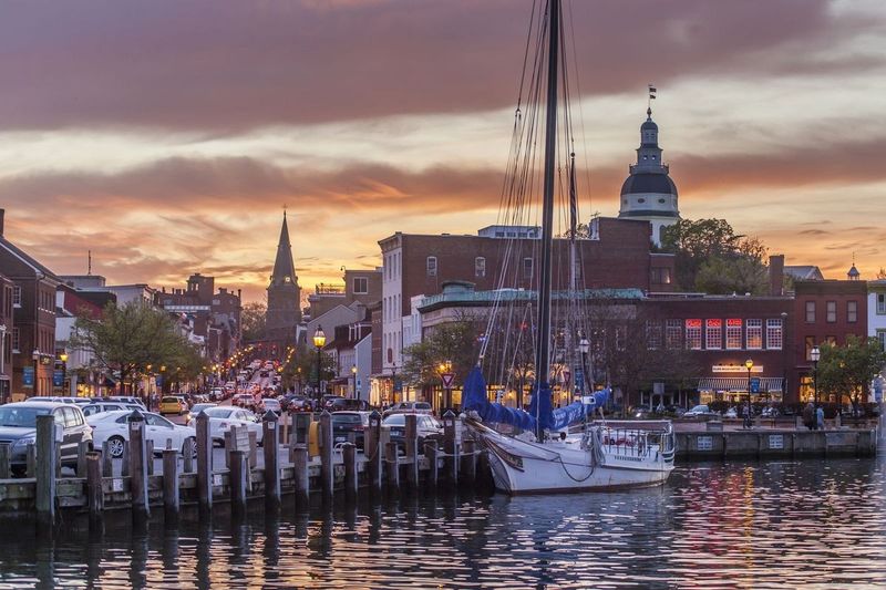
Annapolis wears its age proudly. Founded in 1649, it is one of the oldest cities in America and served as the nation’s capital briefly after the Revolutionary War.
Today, it is also a textbook example of what chronic tidal flooding looks like in a historic American city. The famous City Dock area floods so regularly that locals call it “Spa Creek soup” when the brown water rises over the docks.
High-tide flooding in Annapolis has increased dramatically over the past few decades. Events that once happened a handful of times per year now happen dozens of times annually.
Waterfront restaurants and shops routinely deal with floodwater seeping under their doors during particularly high tides, even without any rain in the forecast.
The city has installed pump stations and flood barriers, and there are ongoing discussions about raising streets and improving stormwater systems. But Annapolis faces a unique challenge: many of its most at-risk structures are historically protected buildings that cannot easily be modified.
Balancing historic preservation with modern flood resilience is a slow and politically complicated process. Meanwhile, the tides keep rising, and King Tides keep claiming a little more of the city each year.
New York City, New York
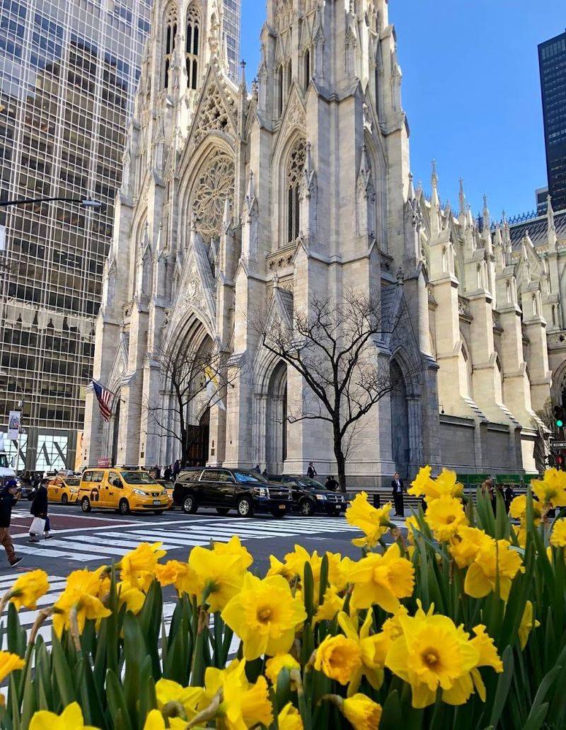
Hurricane Sandy arrived in October 2012 and introduced millions of New Yorkers to something they thought only happened in other places: catastrophic coastal flooding. Seawater poured into subway tunnels, exploded transformers plunged neighborhoods into darkness, and the financial district sat under several feet of ocean water.
The storm caused over $65 billion in damage across the region.
New York has responded with serious ambition. The city launched a massive resilience planning effort, and the federal government funded major coastal protection projects including storm surge barriers and elevated waterfront parks.
Still, experts note that protecting every corner of a city with 520 miles of coastline is practically impossible.
Land subsidence is adding to the problem. A 2023 study found that the weight of New York City’s own buildings is slowly pushing the ground downward, adding to flood risk from sea-level rise.
Low-lying neighborhoods in Brooklyn, Queens, and Staten Island remain especially exposed. Climate projections suggest sea levels around New York could rise by several feet by the end of this century, meaning Sandy-level flooding could eventually become a regular occurrence rather than a once-in-a-generation disaster.
Boston, Massachusetts
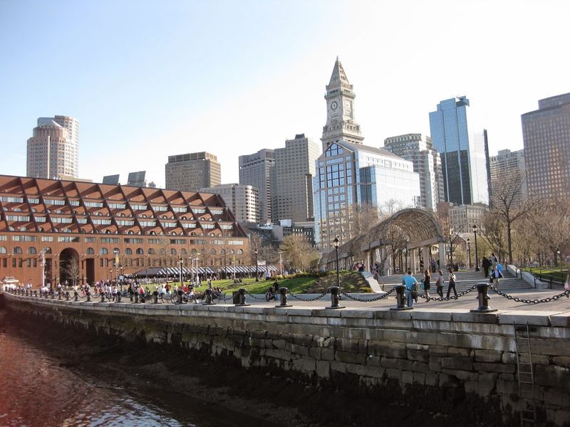
Boston built much of its famous waterfront on landfill, literally dumping earth and rubble into the harbor over centuries to create new land. That strategy worked well for 200 years.
Now, as sea levels climb, those landfill neighborhoods are among the most flood-exposed areas in the entire city. The irony is not lost on urban planners.
Neighborhoods like East Boston, South Boston, and the Seaport District sit just a few feet above current sea level. A major nor’easter combined with a high tide can already push seawater into streets and parking lots.
Projections suggest that by 2070, significant portions of these neighborhoods could face regular flooding without major protective infrastructure.
Boston has invested heavily in climate resilience planning. The city’s Climate Ready Boston initiative mapped flood risks across every neighborhood and proposed a combination of seawalls, green infrastructure, and elevated buildings.
Some projects are already underway along the Harborwalk. But Boston’s vulnerability is not just about its own coastline.
The entire Massachusetts Bay region faces increasing storm surge risk as Atlantic hurricanes push farther north. Boston is planning smart, but the clock is ticking steadily.
Galveston, Texas
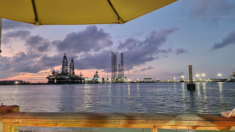
In 1900, a hurricane destroyed Galveston so completely that the city had to be rebuilt almost from scratch. Engineers raised the entire island by several feet and built a massive seawall to protect it.
It was one of the most extraordinary engineering feats of the early 20th century. Over 120 years later, that seawall is still standing, but rising seas are steadily eating away at the margin of safety it provides.
Galveston sits on a narrow barrier island in the Gulf of Mexico, surrounded by water on nearly every side. Storm surge from even a moderately strong hurricane can easily overtop parts of the island.
Hurricane Ike in 2008 sent a wall of water across the western, unprotected end of the island, causing catastrophic damage to thousands of homes.
A proposed coastal spine project, sometimes called the “Ike Dike,” has been in planning and funding stages for years. The project would build a massive barrier system across Galveston Bay to protect both the island and the Houston Ship Channel.
Progress has been slow and expensive. Meanwhile, land subsidence continues to lower parts of the island, and each hurricane season brings fresh reminders of just how exposed this small, stubborn city truly is.
Savannah, Georgia
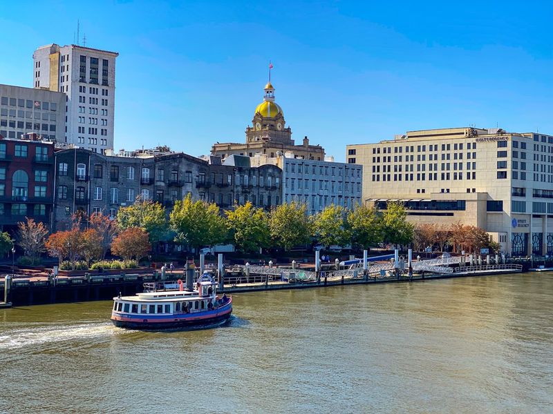
Savannah moves at a slower pace than most cities, with moss-draped oaks shading cobblestone squares and history around every corner. But underneath that languid Southern charm, the city faces a very modern problem: it is getting wetter, and not just during rainstorms.
Tidal flooding is creeping into low-lying neighborhoods with increasing regularity, and the city’s network of tidal rivers makes drainage complicated.
Much of Savannah sits only a few feet above sea level, and the surrounding coastal marshes, while beautiful, can only absorb so much water. When heavy rains combine with high tides, streets in several neighborhoods regularly flood.
The historic district, which draws millions of tourists each year, is not immune to the problem.
The Port of Savannah is one of the busiest container ports in the country, and its infrastructure faces long-term flood risk as well. City planners have begun incorporating sea-level rise projections into infrastructure decisions, but funding for large-scale flood protection remains limited.
Savannah’s charm is real, and so is its vulnerability. Researchers project that without significant protective measures, nuisance flooding could double or triple in frequency within just a few decades.
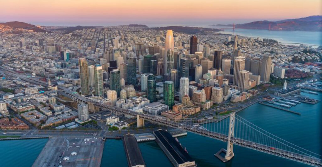
San Francisco, California
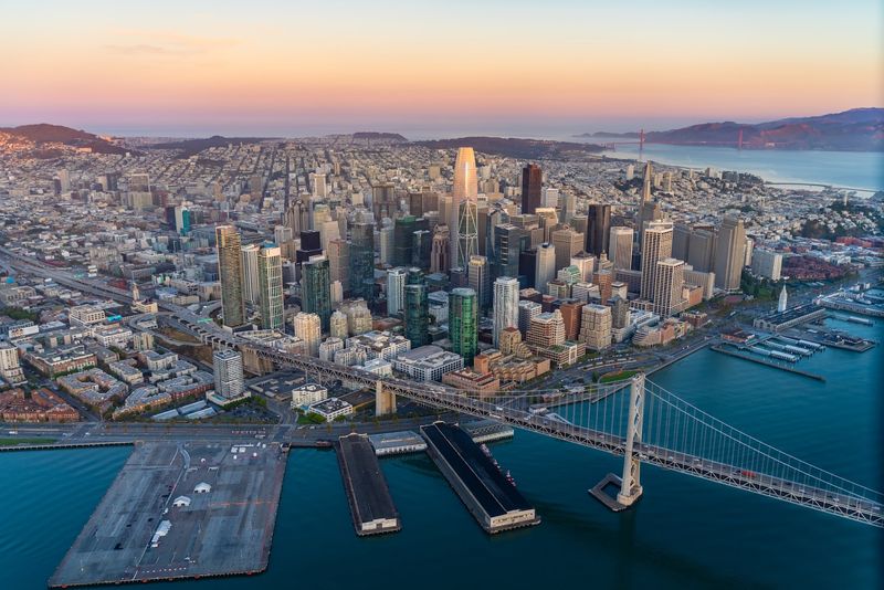
San Francisco does not usually make the top of hurricane vulnerability lists, and that is fair. But the city and the broader Bay Area face a sea-level rise threat that is quieter, slower, and in some ways more insidious than a single dramatic storm.
The San Francisco Bay is rising, and large swaths of low-lying land around its shores are at serious risk.
San Francisco International Airport sits on landfill right at the bay’s edge. So do large sections of the East Bay, parts of Silicon Valley, and numerous waterfront neighborhoods.
A 2018 report by the San Francisco Bay Conservation and Development Commission found that roughly 30,000 acres of developed land around the bay could flood with just 16 inches of sea-level rise.
The Bay Area has dozens of separate cities and counties, which makes coordinated flood planning enormously complicated. Some communities have invested in living shorelines and restored wetlands to act as natural buffers.
Others are still in early planning stages. California as a state has committed significant funding to sea-level rise adaptation, but the scale of the challenge around the bay is massive.
San Francisco’s famous fog may be iconic, but rising water is the real challenge ahead.
Virginia Beach, Virginia
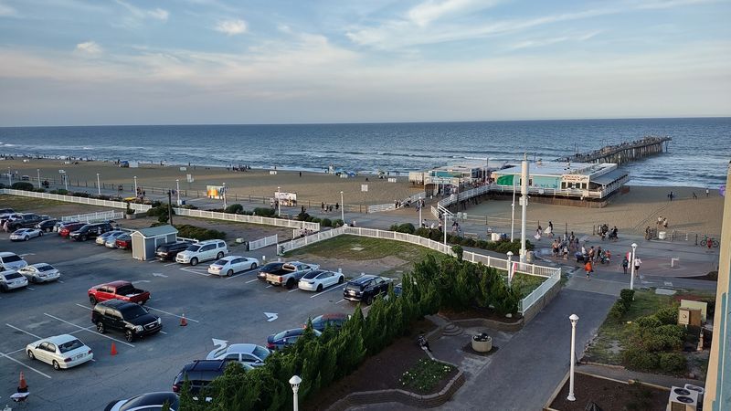
Virginia Beach is the most populous city in Virginia, and it faces a flood problem that grows a little worse every single year. The city experiences both ocean-side flooding from Atlantic storms and bay-side flooding from the Chesapeake Bay.
Add in a rate of relative sea-level rise that ranks among the highest on the East Coast, and you have a recipe for serious long-term trouble.
Land subsidence plays a major role here, just as it does in nearby Norfolk. The ground beneath Virginia Beach is slowly sinking, which means even modest rises in actual sea level translate into a much bigger effective change at street level.
Roads, stormwater systems, and basements built decades ago were simply not designed with this reality in mind.
The city has committed over $1 billion to flood protection projects, including pump stations, tide gates, and floodwall construction. Several major projects are already underway in the most vulnerable neighborhoods.
Military installations in the area, including Naval Air Station Oceana, are also facing increasing flood exposure. Virginia Beach is not sitting still on this issue, but scientists note that current investments, while significant, may not be enough to keep pace with projected sea-level rise through the end of the century.
Atlantic City, New Jersey
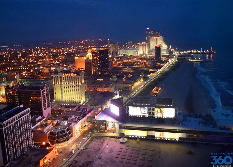
Atlantic City sits on a narrow barrier island barely above sea level, wedged between the Atlantic Ocean and the back bays of New Jersey. The casinos and the famous Boardwalk grab most of the headlines, but the city’s geography tells a quieter, more alarming story.
Nor’easters, the powerful winter storms that batter the Northeast, regularly push seawater across the island’s low-lying interior streets.
The city has experienced significant flooding repeatedly in recent decades. Hurricane Sandy in 2012 caused enormous damage, sending storm surge crashing through neighborhoods far from the beachfront.
Even without a major storm, the combination of high tides and strong onshore winds can flood streets in the city’s back-bay neighborhoods for hours at a time.
Atlantic City’s economic struggles make flood resilience even harder to achieve. With limited tax revenue and a shrinking population, the city has fewer resources to invest in the kind of infrastructure upgrades that wealthier coastal communities can fund.
The state of New Jersey has stepped in with some funding, and federal programs have helped with home buyouts in the most vulnerable areas. But Atlantic City remains deeply exposed, caught between a rising ocean in front and rising bay water behind.
Honolulu, Hawaii
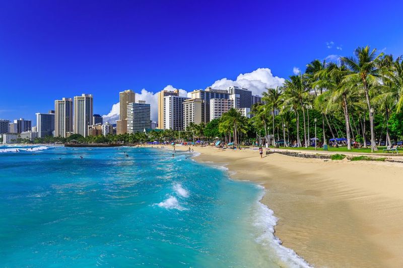
Honolulu may be the most visually stunning city on this list, but paradise has a problem. Sea-level rise in Hawaii is threatening the very beaches, roads, and neighborhoods that make the islands so beloved.
In some places, the ocean is already swallowing sand that was there just a generation ago, and coastal roads occasionally flood during high surf events that would have caused no issues 30 years back.
Hawaii faces a double challenge. Rising seas threaten the coastline, and many of Honolulu’s critical roads and utilities run right along that coastline.
The main highway connecting the windward side of Oahu to the city has already experienced repeated flood damage and closures. Replacing or relocating that infrastructure would cost billions of dollars.
The state of Hawaii has been proactive about studying and planning for sea-level rise, producing detailed vulnerability assessments for every island. Some beach restoration projects and coastal armoring efforts are underway.
But scientists point out that hard structures like seawalls often accelerate beach loss rather than preventing it. Honolulu faces choices that are genuinely difficult: protect the land and lose the beaches, or protect the beaches and accept more flooding.
Neither option is easy, and the Pacific keeps rising regardless.
Share this story