When most people think of islands in the United States, Hawaii and maybe the Florida Keys come to mind. But the truth is, dozens of states are quietly sitting on hundreds, sometimes thousands, of islands that most travelers never hear about.
From frozen Alaskan archipelagos to tiny marsh islands tucked along the Gulf Coast, the variety is genuinely surprising. This list covers 15 states where the island count goes way beyond what you might expect, and each one has its own story worth knowing about.
Alaska
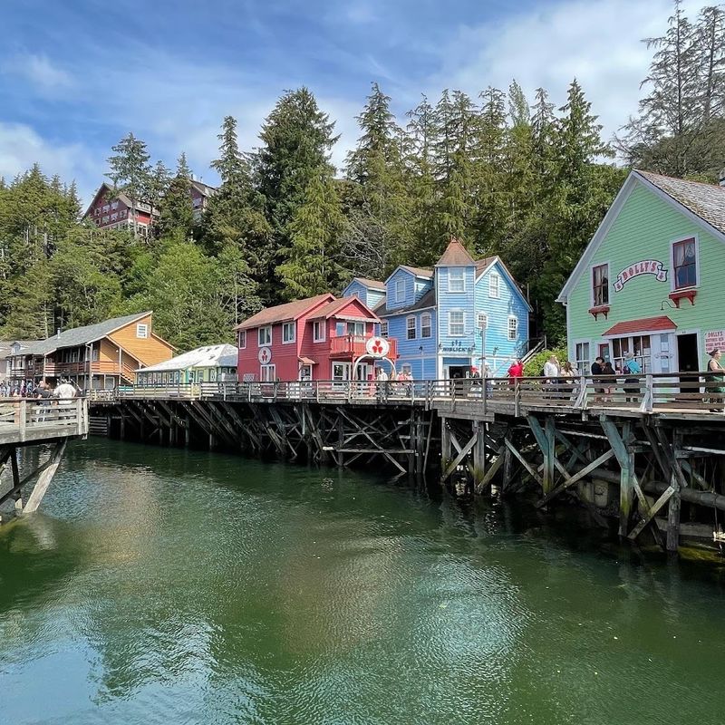
Alaska holds the record for the most islands of any U.S. state, with an estimated 2,670 named islands and thousands more that remain unnamed. That number is almost impossible to wrap your head around until you look at a map and see just how fragmented the coastline really is.
The Alexander Archipelago in Southeast Alaska alone contains over 1,000 islands, forming a dramatic stretch of forested land and waterways that connects coastal communities like Sitka, Ketchikan, and Juneau. Many of these islands are only accessible by boat or small plane.
The Aleutian Islands extend nearly 1,200 miles into the Pacific Ocean, creating a chain that technically reaches closer to Asia than to the continental United States. Some islands in this chain are home to active volcanoes.
Alaska’s island geography shapes everything from its fishing industry to its wildlife, including brown bears, sea otters, and bald eagles.
Maine
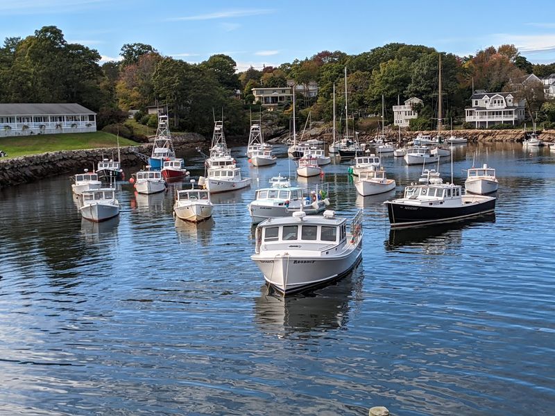
Maine has more islands along its coastline than most people ever realize, with estimates ranging from 3,000 to over 4,600 depending on how you count tidal islands and exposed ledges. The jagged, glacier-carved coastline creates natural pockets and inlets that shelter hundreds of these landmasses.
Penobscot Bay alone contains dozens of islands, including Vinalhaven, North Haven, and Islesboro, each with its own small year-round community. These are working islands where lobstering and fishing remain central to daily life, not just tourist attractions.
Monhegan Island, about 12 miles offshore, draws artists and hikers who come for its dramatic cliffs and trails. Meanwhile, the Cranberry Isles near Acadia National Park offer a quieter side of coastal Maine that most day visitors never reach.
Maine’s island geography is one of the defining features of the entire state, shaping its culture, economy, and identity in ways that go far beyond the shoreline.
Florida
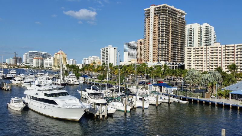
Florida’s island count surprises a lot of people because the state is often thought of as a flat peninsula rather than an island-rich destination. But Florida actually has around 4,500 islands that are ten acres or larger, which puts it near the top of the national list.
The Florida Keys alone stretch for about 125 miles and include over 1,700 islands, though only a small fraction of those are developed or accessible by road. The chain ends at Key West, which sits just 90 miles from Cuba and has its own distinct culture built around fishing, art, and Caribbean influence.
Beyond the Keys, Florida’s Ten Thousand Islands region along the southwest Gulf Coast is a vast tangle of mangrove islands that form one of the largest mangrove ecosystems in North America. This area is a paddler’s paradise and a critical nursery habitat for fish, birds, and other wildlife.
It is far less visited than the Keys but equally impressive in its own way.
New York
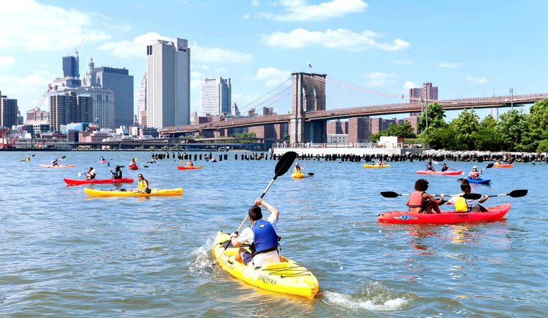
New York is known for its cities, but the state has a surprisingly rich island geography that extends well beyond Manhattan and Long Island. The state contains hundreds of islands spread across the St. Lawrence River, Lake Ontario, the Hudson River, and its Atlantic coastline.
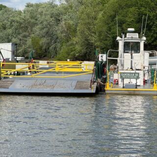
The Thousand Islands region along the St. Lawrence River is one of the most famous freshwater island clusters in the world, with over 1,800 islands straddling the U.S.-Canada border. Some of these islands are large enough to hold small towns, while others are barely big enough for a single cottage.
Fire Island, a barrier island off the south shore of Long Island, is a National Seashore that stretches 32 miles and remains largely car-free. The city of New York itself contains five boroughs spread across islands and peninsulas, with Manhattan, Staten Island, and the Rockaway Peninsula all technically qualifying as island geography.
New York’s waterways are genuinely central to its identity.
Massachusetts
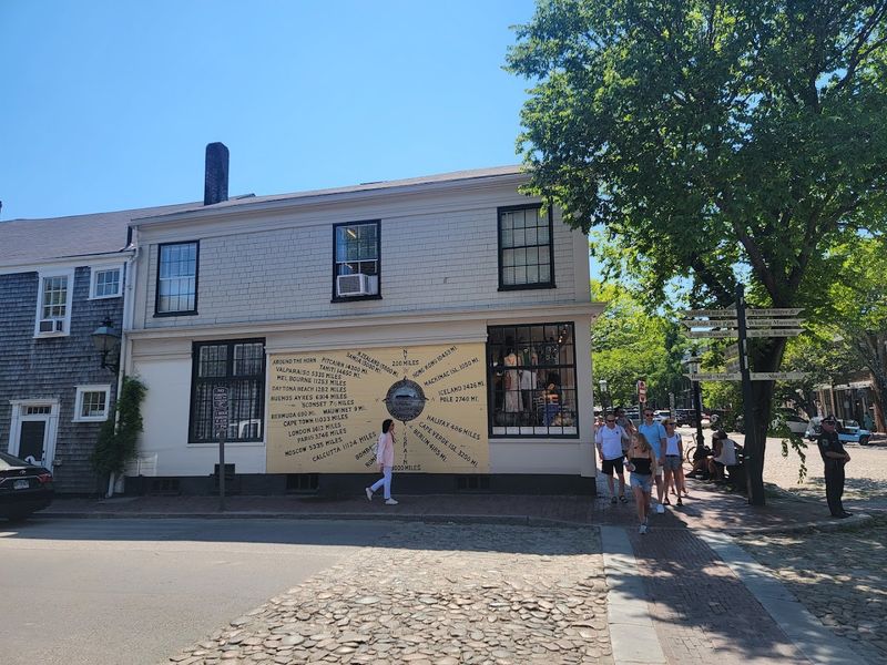
Massachusetts may be a small state, but its coastal geography packs in a remarkable number of islands, particularly along its southeastern edge and in Boston Harbor. The state has over 100 named islands, with many more smaller formations scattered along its shoreline.
Martha’s Vineyard and Nantucket are the most recognized, both accessible by ferry and known for their distinct characters. Martha’s Vineyard covers about 87 square miles and has six separate towns, while Nantucket is famous for its cobblestone streets, historic whaling heritage, and strict architectural preservation rules.
Boston Harbor Islands State Park encompasses 34 islands and peninsulas, many of which are open to visitors for hiking, camping, and exploring historic fortifications. Georges Island is home to Fort Warren, a Civil War-era fort that held Confederate prisoners.
The Elizabeth Islands, a chain of privately owned islands stretching southwest of Cape Cod, are rarely visited but form a fascinating and largely untouched piece of the Massachusetts coastline that few outsiders ever see.
Washington

Washington State’s Puget Sound region is one of the most island-dense areas in the continental United States. The state contains hundreds of islands, with the San Juan Islands archipelago being the most well-known cluster.
The San Juan Islands include 172 named islands and reefs, of which about 20 are inhabited year-round. San Juan Island, Orcas Island, and Lopez Island are the most visited, each offering a different pace and set of attractions.
Orcas Island is the largest and has Moran State Park with Mount Constitution, the highest point in the archipelago, offering wide views over the water.
Whidbey Island, north of Seattle in Island County, is the longest island in the contiguous United States by some measurements, stretching about 55 miles from north to south. The island has a strong agricultural community, historic Coupeville, and Deception Pass State Park, which draws more visitors annually than any other Washington State park.
Washington’s island culture is genuinely tied to ferry life and water-based communities.
Hawaii
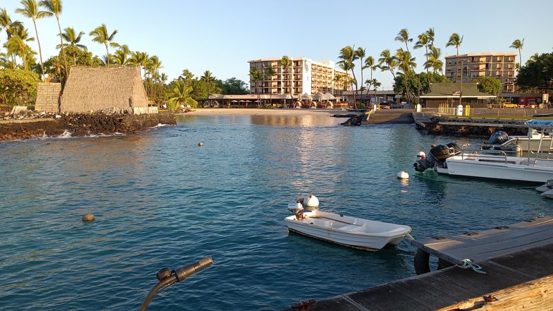
Hawaii is the state most people think of first when islands come up, and for good reason. The Hawaiian archipelago stretches over 1,500 miles across the Pacific and includes 137 islands, atolls, reefs, and shoals in total, though only eight are considered the main islands.
The eight main islands range dramatically in size and character. Hawaii Island, often called the Big Island, is the largest and most geologically active, with Kilauea being one of the world’s most continuously active volcanoes.
Maui, Oahu, Kauai, Molokai, Lanai, Niihau, and Kahoolawe each have their own distinct geography and history.
Beyond the main islands, the Northwestern Hawaiian Islands stretch far into the Pacific and include Midway Atoll, which is now a National Wildlife Refuge. This remote part of the chain is largely off-limits to casual visitors but supports one of the world’s largest colonies of Laysan albatrosses.
Hawaii’s island count may be smaller than Alaska’s, but its geographic and cultural range across the Pacific is remarkable in its own right.
Michigan

Michigan is surrounded by four of the five Great Lakes, which means its island count is much higher than most landlocked-state comparisons would suggest. The state has over 100 named islands spread across Lake Superior, Lake Michigan, Lake Huron, and Lake Erie.
Mackinac Island is the most famous, sitting in the Straits of Mackinac between the Upper and Lower Peninsulas. Cars have been banned on the island since 1898, which means visitors get around by bicycle, horse-drawn carriage, or on foot.
The island has a well-preserved Victorian downtown and is home to the historic Grand Hotel, which has one of the longest front porches in the world.
Isle Royale, in Lake Superior near the Canadian border, is a National Park that covers 850 square miles and is only accessible by boat or floatplane. It has no roads, no bridges, and very limited facilities, making it one of the least-visited National Parks in the country.
The island is known for its wolf and moose population, which has been studied by researchers for decades as one of the longest-running predator-prey studies anywhere.
Minnesota

Minnesota might be the most surprising entry on this list. Known as the Land of 10,000 Lakes, the state actually has closer to 11,842 lakes of ten acres or more, and within those lakes sit thousands of islands that most people outside the state have never heard of.
Lake of the Woods, in the far northern part of the state near the Canadian border, contains over 14,000 islands on its own. That single lake has more islands than most countries, and the sheer scale of it makes navigation genuinely complex for first-time visitors.
The Boundary Waters Canoe Area Wilderness in northeastern Minnesota covers over one million acres and includes hundreds of lakes connected by portage trails, with countless forested islands scattered throughout the system. This area draws serious canoeists and kayakers from across the country who come for multi-day backcountry trips.
Minnesota’s island geography is entirely freshwater-based, which makes it unlike almost every other state on this list, and that distinction is worth appreciating on its own terms.
Louisiana

Louisiana’s coastline is one of the most complex and fragile in the entire country, shaped by the Mississippi River Delta and a vast network of bayous, marshes, and coastal wetlands. Hidden within that landscape are dozens of barrier islands and marsh islands that form a critical buffer between the Gulf of Mexico and the mainland.
The Chandeleur Islands, located about 50 miles east of New Orleans, are a chain of uninhabited barrier islands that form part of the Breton National Wildlife Refuge. These islands are important nesting grounds for brown pelicans, terns, and other seabirds.
They are also vulnerable to erosion and storm surge, and their size has decreased significantly over the past several decades.
Grand Isle, the only inhabited barrier island in Louisiana, sits at the end of Louisiana Highway 1 and is known for fishing, birding, and beach access. The state’s coastal islands are not glamorous tropical destinations, but they play an outsized ecological role in protecting communities and supporting wildlife along one of the most productive coastlines in North America.
Wisconsin
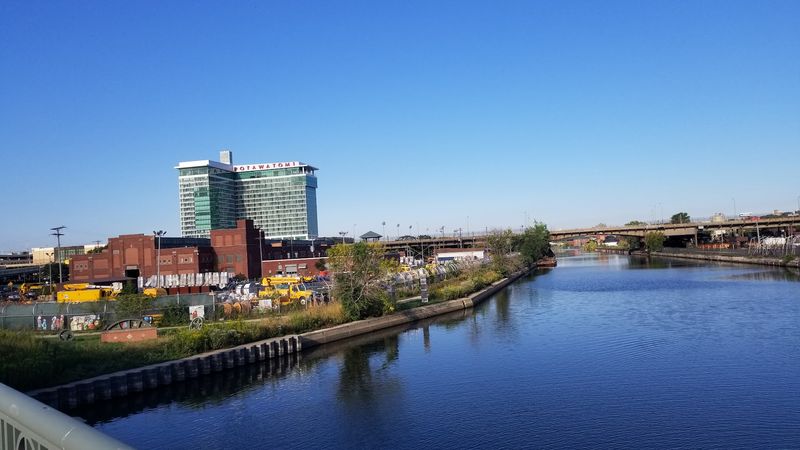
Wisconsin shares Lake Superior and Lake Michigan with Michigan, and its island count reflects that Great Lakes geography in a meaningful way. The state has dozens of named islands, with the Apostle Islands being the crown jewel of the collection.
The Apostle Islands National Lakeshore in northern Wisconsin encompasses 21 islands in Lake Superior, plus a stretch of mainland shoreline. The islands feature red sandstone sea caves that draw kayakers during summer and ice cave explorers during especially cold winters when the lake freezes enough to walk out on.
Madeline Island is the largest of the group and the only one not included in the National Lakeshore, with a small year-round community and a summer ferry connection from Bayfield.
Green Bay and the Door Peninsula also create island geography along Wisconsin’s eastern edge, with Washington Island sitting at the tip of Door County and accessible by ferry. Washington Island has a small permanent population and a distinct community feel that sets it apart from the more tourist-focused mainland peninsula.
Wisconsin’s islands reward visitors who take time to get off the main road.
California
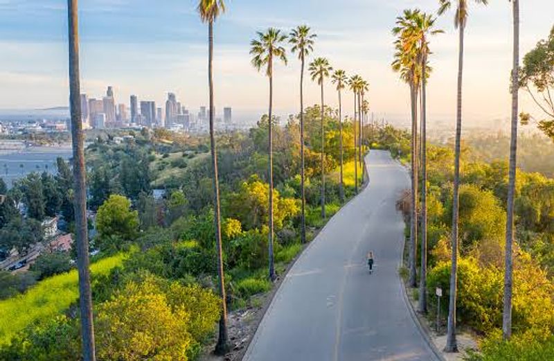
California’s coastline stretches over 840 miles, and while the state is not typically associated with island geography, it has a notable collection of offshore islands that most visitors never make it to. The Channel Islands are the most significant group, sitting off the coast of Ventura and Santa Barbara counties.
Channel Islands National Park protects five of the eight Channel Islands: Anacapa, Santa Cruz, Santa Rosa, San Miguel, and Santa Barbara Island. The park is sometimes called the Galapagos of North America because of its high concentration of endemic plant and animal species found nowhere else on Earth.
Island foxes, which are unique to the Channel Islands, are one of the most recognizable examples.
Santa Catalina Island, the most visited of the Channel Islands, is not part of the National Park and has a small resort town called Avalon with hotels, restaurants, and ferry service from the mainland. The northern Channel Islands require more planning to visit, with boat trips from Ventura Harbor being the primary access point.
California’s islands are genuinely wild and worth the effort to reach.
North Carolina
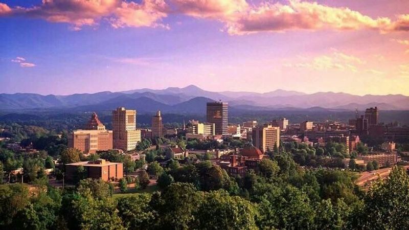
North Carolina’s Outer Banks is one of the most recognizable barrier island chains in the eastern United States, stretching roughly 200 miles along the Atlantic coast. But beyond the Outer Banks, the state has additional islands scattered along its coastal waterways that most visitors overlook entirely.
The Outer Banks includes Bodie Island, Hatteras Island, and Ocracoke Island, each connected by highway and ferry. Cape Hatteras National Seashore covers much of Hatteras Island and is known for its wide beaches, historic lighthouse, and strong surf conditions that attract experienced surfers.
Ocracoke Island, accessible only by ferry, has a small village with a distinct character that has remained relatively unchanged for generations.
Bald Head Island, near the mouth of the Cape Fear River, is accessible only by ferry and prohibits most motorized vehicles on the island. Residents and visitors get around by golf cart or bicycle.
The island has a lighthouse dating to 1817, making it the oldest standing lighthouse in North Carolina. These coastal islands collectively represent a significant and often underappreciated part of the state’s geography.
South Carolina
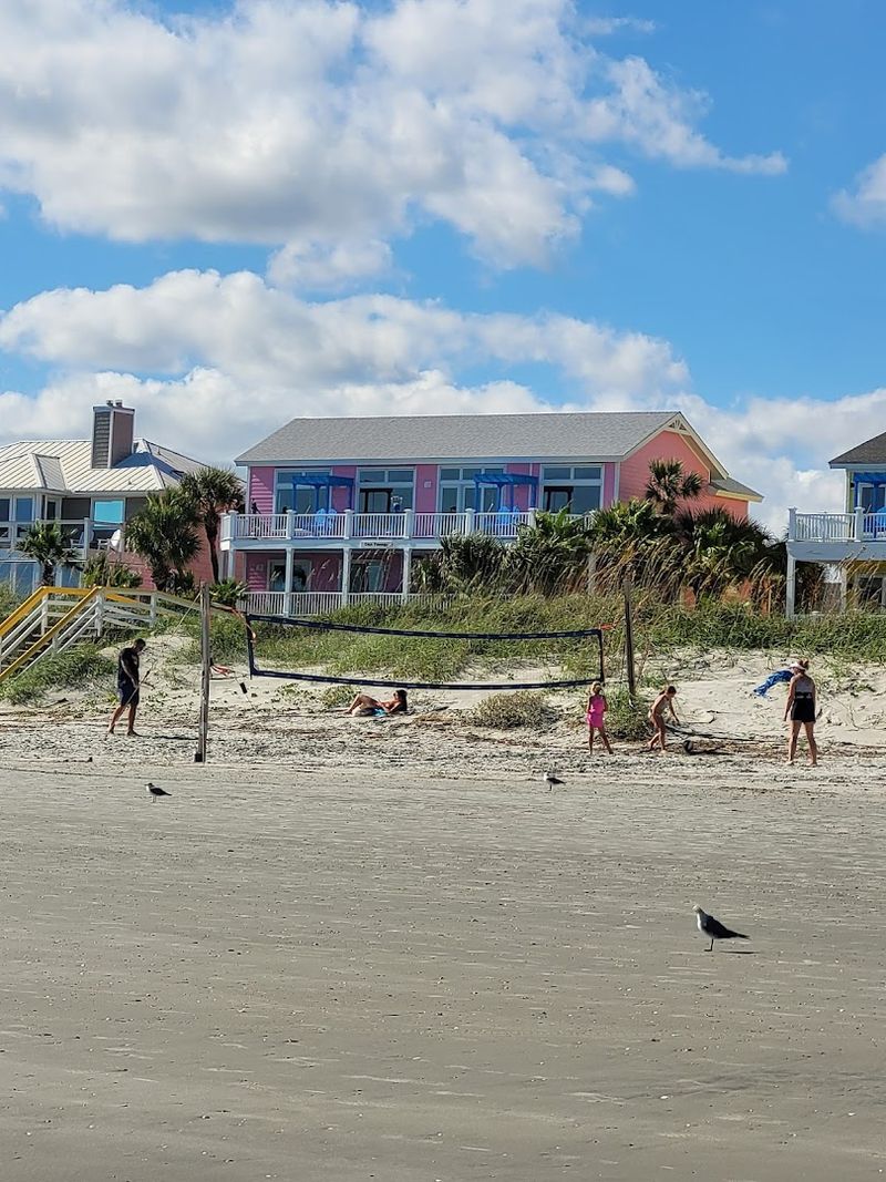
South Carolina’s coastline is home to the Sea Islands, a chain of barrier and tidal islands that stretch from the Georgia border up toward the Grand Strand. The state has over 100 coastal islands, many of them connected by bridges and causeways, and others accessible only by boat.
Hilton Head Island is the largest and most developed, covering about 69 square miles and drawing millions of visitors each year for its beaches, golf courses, and resort communities. But the more interesting island geography lies in the less-developed corners of the coast.
Hunting Island State Park, on Hunting Island, has one of the few publicly accessible lighthouses in South Carolina that visitors can climb, along with undeveloped beaches and maritime forest.
The ACE Basin, named for the Ashepoo, Combahee, and Edisto rivers, contains a vast network of tidal marsh islands that form one of the largest undeveloped estuaries on the East Coast. Daufuskie Island, accessible only by ferry from Hilton Head, has a small permanent population and a Gullah Geechee cultural heritage that connects the island to a rich and distinct history along the South Carolina coast.
Texas

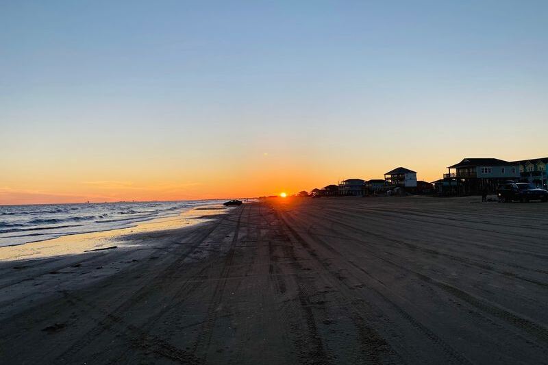
Texas is not the first state that comes to mind when people think about islands, but the Gulf Coast has a string of barrier islands that stretch along the entire southern coastline. These islands are shaped by wind, tides, and sediment from the rivers that drain into the Gulf, and they play a major role in protecting the mainland from storm surge.
Padre Island is the longest barrier island in the world, stretching approximately 113 miles along the South Texas coast. Padre Island National Seashore protects the undeveloped central section and is one of the few places in the United States where sea turtles nest on a large scale.
The Kemp’s ridley sea turtle, the world’s smallest and most endangered sea turtle, uses these beaches as a primary nesting ground.
Galveston Island, north of Padre Island, is the most populated and developed of the Texas barrier islands, with a historic downtown, beaches, and a Victorian architecture district that survived the devastating 1900 hurricane and subsequent rebuilding effort. Matagorda Island and San Jose Island round out the Texas barrier island chain, with both offering remote, undeveloped coastline that sees relatively little foot traffic despite their significant size.
Share this story