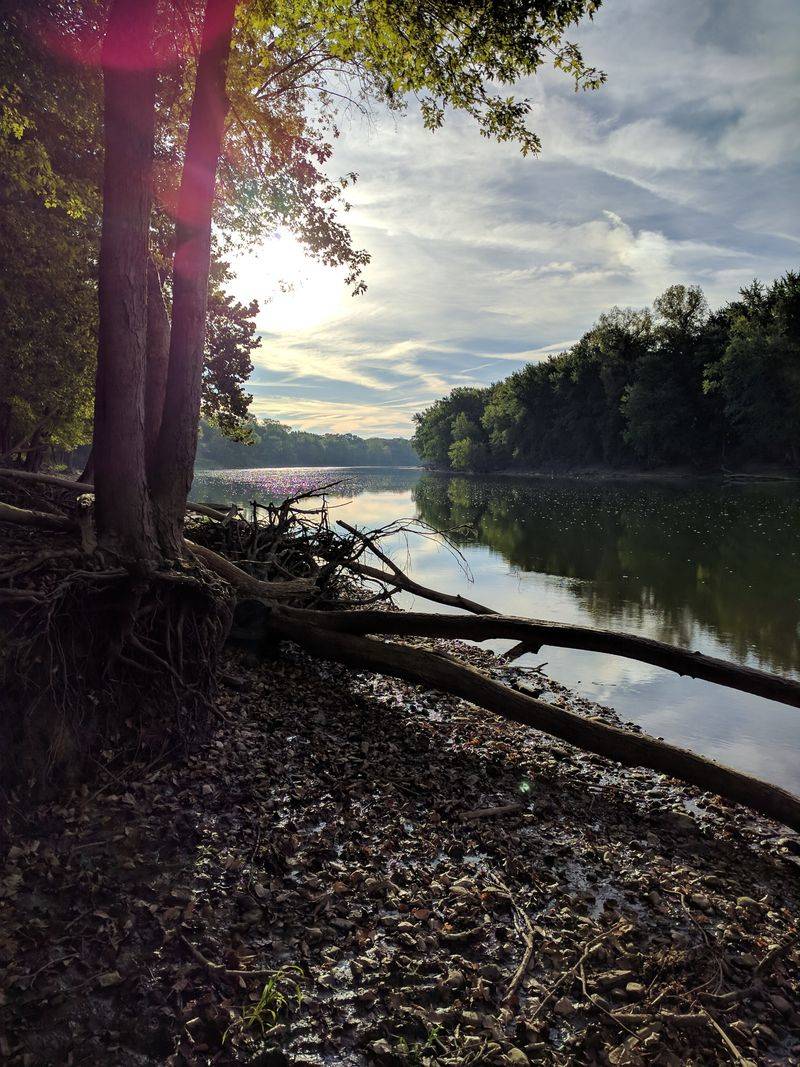
Rivers are the quiet engines that built America, carrying people, ideas, and goods long before highways stitched the map. Follow their bends and you uncover boomtowns, borderlines, conflicts, and innovations that changed daily life. As you trace each current, you will see how water powered mills, lit homes, fed factories, and launched ports that still set the pace today. Come meet 18 rivers and the towns that grew with them, and you might spot your own story along the banks.
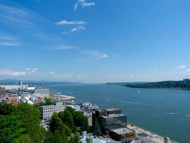
1. Mississippi River
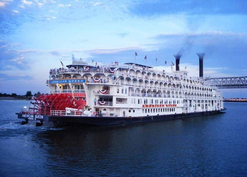
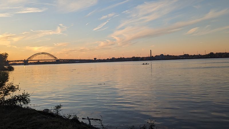
You feel the Mississippi before you see it, a working heartbeat moving grain, oil, and stories from Minneapolis to New Orleans. Its barges slide past St. Louis arches and Memphis blues clubs, proof that commerce and culture ride the same current. Stand on a levee in Baton Rouge and you sense centuries of trade decisions shaping everyday life.
The river turned frontier posts into cities, stitched farm belts to global markets, and linked river pilots to stevedores and jazz musicians. Floods taught hard lessons, prompting levees, spillways, and science that still guide local choices. When you cross at Minneapolis–St. Paul, you join a corridor that made America more connected, fed, and ambitious.
Museum exhibits and riverfront museums chart inventions from steamboats to container logistics. You can taste its reach in catfish shacks and ports humming night and day. The Mississippi keeps moving, and towns along it keep adapting.
2. Missouri River
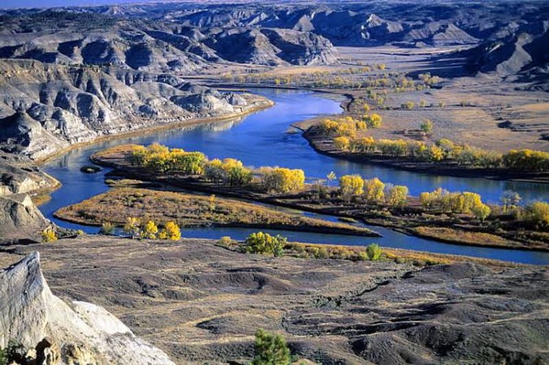
The Missouri runs wide and restless, a pathfinding teacher that carried Lewis and Clark toward the mountains. You can feel that exploratory spark from Kansas City up to Omaha, where the river still shapes rail yards and neighborhoods. At Bismarck and Fort Benton, history is close enough to touch, written in warehouses, ferries, and bluff trails.
This long river trained the nation to look west for opportunity, then delivered furs, ore, and settlers back east. You see its practical side in channel projects and dams that tamed floods and powered towns. Stand near a landing and imagine keelboats grinding upstream, every mile turning maps into footsteps.
The Missouri remains a working teacher, asking towns to balance navigation, habitat, and recreation. You hear it in anglers’ stories and barge horns under Midwestern skies. Follow its bends and you find the original American long haul.
3. Ohio River
The Ohio feels like a factory floor and a front porch at once. In Pittsburgh, three rivers meet, and you watch towboats pull coal and steel past neighborhoods built on grit. Downstream at Cincinnati and Louisville, hills frame warehouses, breweries, and ballparks that grew from river paychecks.
This tributary made the Midwest hum, ferrying lumber, iron, salt, and people who chased work along its banks. You can trace frontier trails that became interstates, because commerce kept choosing the same valleys. The Ohio connected farms to mills, then mills to markets, and it never stopped negotiating with floods.
Evansville’s cranes and shipyards show how river logistics still matter when global supply chains wobble. Stroll a waterfront park and you will hear barge engines like a metronome. The Ohio’s work is steady, and its towns keep time with it, generation after generation.
4. Hudson River
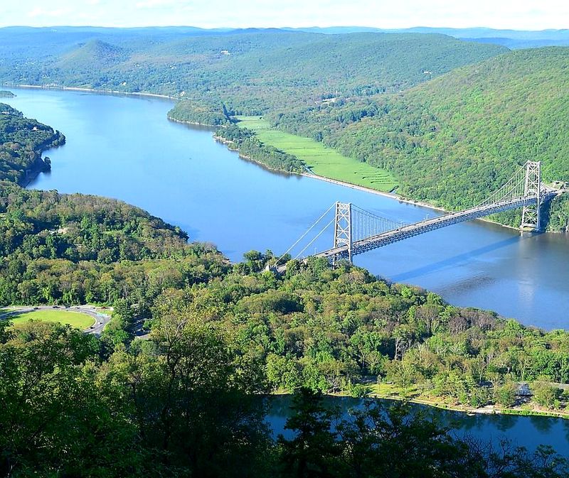
The Hudson is a gallery and a highway, a place where art and industry shook hands. North of New York City, cliffs and light inspired painters while towpaths pulled freight toward the Erie Canal. In Troy and Albany, brick warehouses whisper about wheat, iron, and the bold plan to connect seaboard and interior.
Poughkeepsie bridges frame commuters and kayakers sharing the same corridor that once carried sloops and steamers. You feel the river’s pull every time a Metro-North train hugs the bank. The Hudson taught New York to think big by making inland trade feel close enough to touch.
Follow its tide and you hear ship horns under skyscrapers, then quiet coves upriver with eagles. Towns along the Hudson learned to pair creativity with logistics. That balance lifted the city and kept the valley’s villages lively, practical, and beautiful.
5. Rio Grande
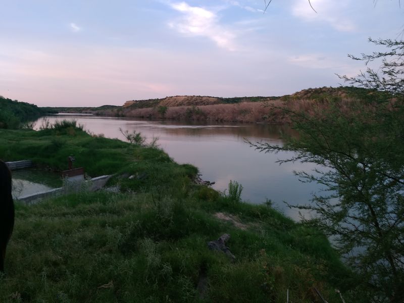
The Rio Grande carves a ribbon between nations, a living map you can drive beside in El Paso. It waters fields that turn desert into green stripes, then slips past bridges where languages mingle. In Laredo and Brownsville, markets and families have long treated the river as both line and lifeline.
You can read the region’s history in acequias, ranches, and rail spurs that followed the current. Agriculture relied on its flow, and towns grew around that promise. Trade crossings turned into busy ports, each day showing how water underpins border economies.
Walk a levee at sunrise and you will hear roosters, trucks, and irrigation gates clicking open. The Rio Grande asks for careful stewardship in a dry century. Its towns know that shared water means shared futures, and they plan with that truth.
6. Colorado River
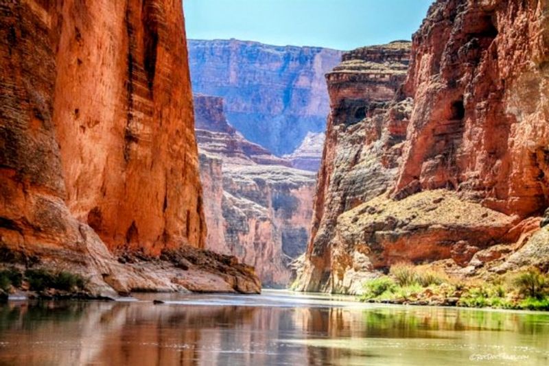
The Colorado is a sculptor and a provider, carving the Grand Canyon while powering cities with turbine hum. From Grand Junction to Moab, red rock walls frame a playground where rafters chase rapids. Farther down, Hoover Dam and canals show how engineering turned scarcity into planned possibility.
You feel the stakes in Yuma’s farm fields and urban taps across the Southwest. Every drop is counted, shared, and promised, linking towns by math and necessity. Hydroelectric power lit homes and built industries that still rely on predictable flows.
Stand at an overlook and you will hear wind, water, and the quiet arithmetic of drought planning. The river teaches compromise, asking users to balance recreation, habitat, and food. Its towns thrive when agreements hold, proving cooperation can be as mighty as stone.
7. Columbia River
The Columbia is muscle and mist, lifting whole regions with hydropower while carrying wheat to the sea. From The Dalles to Portland and Vancouver, turbines spin and barges line up like patient workhorses. You can watch wind whip whitecaps and still see salmon runs tying towns to seasons.
Settlers rode this artery west, then plugged in their future to the river’s current. Ports, canneries, and shipyards recorded boom times that shaped family routines. Drive the gorge and you feel how landscapes and livelihoods braided together.
The Columbia keeps asking communities to respect fish, energy, and navigation in one plan. When lights flick on across Oregon and Washington, you are seeing river choices made daily. Its towns live with that responsibility and that gift, year after year.
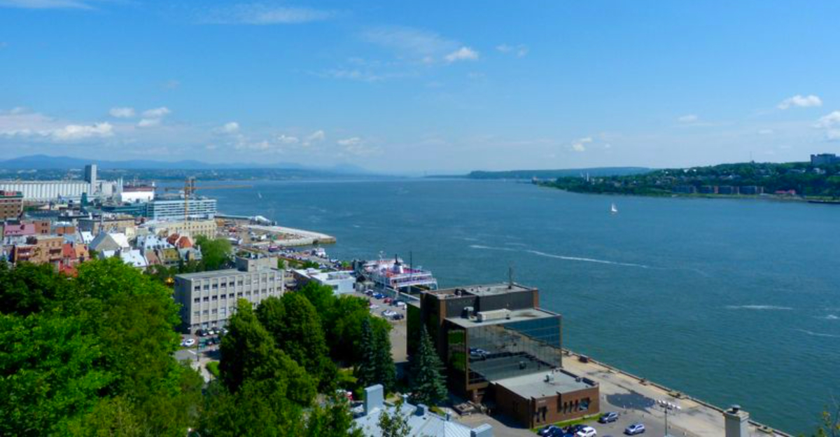
8. St. Lawrence River
The St. Lawrence opens a freshwater empire, letting Great Lakes cargo meet the Atlantic. From Ogdensburg to Clayton, freighters glide past marinas and island cottages, proof that big trade and small-town life can share a channel. Locks rise and fall like breath, guiding grain and steel toward ocean lanes.
You can stand on a pier and feel continents connect under your shoes. The Seaway turned inland ports into global addresses, giving factories and farms a saltwater handshake. History sits in lighthouses and customs houses that watched fortunes sail by.
Tour boats weave among the Thousand Islands while ship horns echo against granite shores. The river asks locals to mix tourism with long-haul logistics. Its rhythm is patient and precise, and the towns along it keep perfect time.
9. Arkansas River
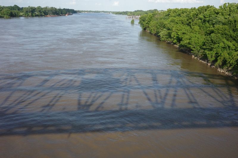
The Arkansas River proves the interior can reach the world with a planned channel and steady locks. In Wichita, you feel prairie commerce pointing south, while Tulsa’s port turns grain and steel into global shipments. Little Rock’s riverfront shows how parks and piers can share space with towboats.
The McClellan-Kerr system stitched together dams and locks so barges could climb and descend like seasoned travelers. It gave manufacturers a water option that steadied costs and jobs. You can watch crews tie off lines and know river math keeps payrolls on track.
Anglers, cyclists, and dockworkers all greet this working water. The Arkansas asks towns to balance floods, recreation, and freight with practical solutions. That balance has kept inland cities connected to the Gulf’s wider markets and opportunities.
10. Red River
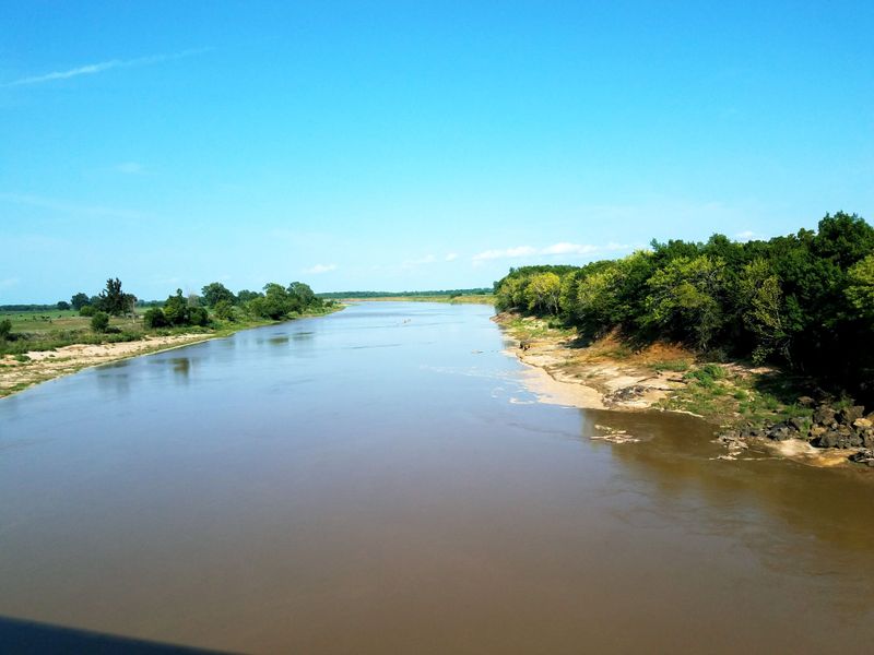
The Red River wears its history in its color and its curves, marking borders and guiding cattle drives. In Shreveport, riverboats and oil booms left neon memories that still glow downtown. Texarkana straddles the state line, and you can feel how the river made two places share one heartbeat.
This stream carried herds, timber, and cotton when roads were rough and rail lines thin. Ferries and fords became bridges, then towns, then regional hubs with warehouses and radio towers. The river’s sandbars demanded patience, and that patience shaped local grit.
Stand on a bank and hear cicadas, train horns, and distant water skimming past cypress roots. Agriculture still trusts the flow to back up promises made each spring. The Red River keeps the region honest about weather, work, and neighborly ties.
11. Tennessee River
The Tennessee turned on the lights for a region that needed a lift. TVA dams stitched the river into a power cord, and factories, farms, and neighborhoods plugged in. In Chattanooga, the waterfront shows how industry and recreation can share the same view.
Huntsville’s rockets and research labs grew in a valley electrified by turbines upstream. Paducah’s barge traffic reveals how the river links inland hubs to national markets. You feel a steady hum in this corridor, the sound of dams turning water into opportunity.
Walk a riverside greenway and you will pass anglers, engineers, and families with picnic baskets. The Tennessee made rural electrification real, then kept the lights steady for growth. Its towns honor that legacy by planning for clean power and reliable navigation.
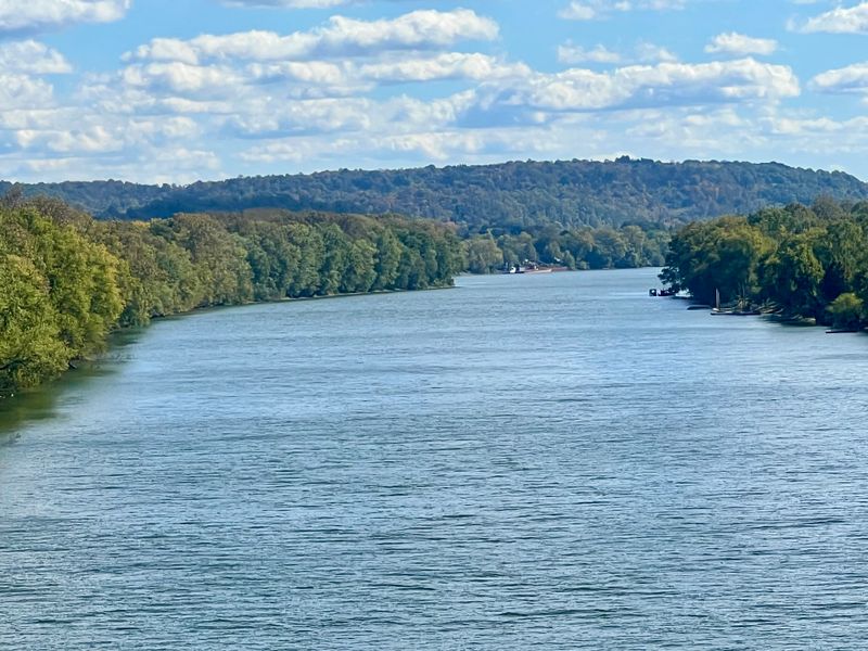
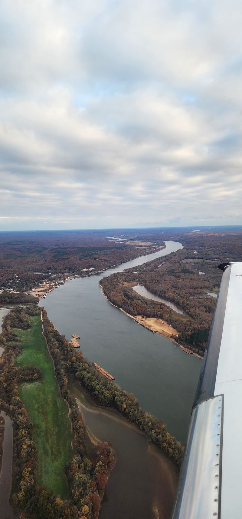
12. Delaware River
The Delaware carries revolution and routine in the same channel. You can stand near Trenton and imagine Washington’s boats crunching through ice, then watch container ships slide toward Philly. History is not a museum piece here, because trade still clocks in each day.
Philadelphia’s shipyards and refineries built eras, and the river paid the wages. Wilmington’s waterfront keeps the pace with finance and chemicals born from maritime logistics. You feel the corridor’s confidence in ferries, bridges, and rowers cutting early morning glass.
Walk a pier and the breeze smells of salt, steel, and pretzels. The Delaware taught towns to use tides as partners and deadlines. That partnership raised a region where revolution’s daring still informs daily work.
13. Susquehanna River
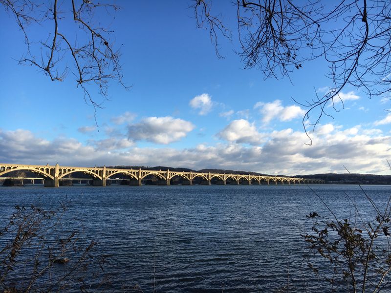
The Susquehanna runs broad and deliberate, an old road that carried canoes, coal, and canal boats. In Harrisburg, you can watch water lay a calm frame around a busy capital. Binghamton’s bridges and brick mills show how currents turned into jobs.
This river powered early ironworks and paper mills, then taught towns to live with floods and silt. You hear that lesson in floodwalls, parks, and careful zoning that respect the current’s memory. The Susquehanna’s patience shaped settlements long before highways traced its route.
Stand on a fishing pier and you might spot herons stalking along gravel bars. The river keeps reminding the Mid-Atlantic that industry and habitat both matter. Its steady breadth feels like a promise that communities can keep if they plan together.
14. Potomac River
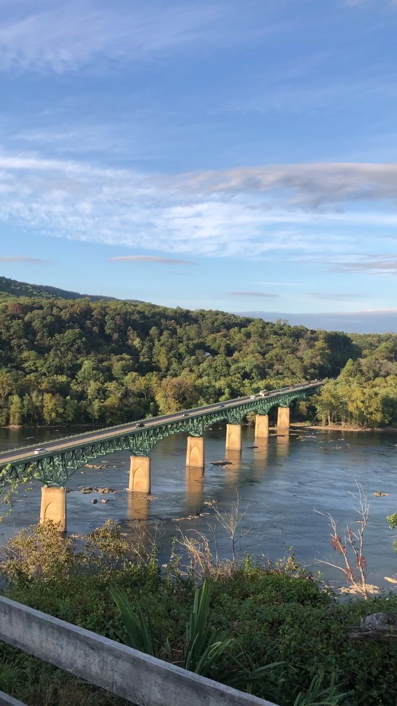
The Potomac places you where decisions and history share a shoreline. In Washington, DC, monuments mirror in the water while rowers slice past policy buildings. Alexandria’s cobblestones and wharves prove commerce has long favored this bend.
Up at Harpers Ferry, cliffs meet confluences where Civil War stories echo off stone. The river drew boundaries, armies, and arguments that shaped a nation’s frame. You feel that weight in quiet eddies and ferry crossings turned into tourist paths.
Walk the towpath and you will hear gears, footsteps, and geese. The Potomac still connects commuters, kayakers, and park rangers who share the same daily current. Its towns hold a living archive that keeps guiding public life.
15. Kennebec River
The Kennebec smells of pine and salt, a corridor where timber became masts and fortunes. In Bath, shipyards ripple with welders’ sparks and the steady rhythm of launch days. Augusta sits upriver with civic buildings that watched boats carry lumber and ice.
Early explorers rode this path into a resource-rich interior, and mills stacked logs like currency. You can still see boom chains and pilings where crews sorted the forest’s harvest. The Kennebec taught towns to turn raw materials into seaworthy craft and steady paychecks.
Walk the waterfront and you will hear gulls, grinders, and river chop. Maritime tradition feels current, not antique, because contracts and tides still decide schedules. The Kennebec keeps Maine grounded in craft, community, and a working coastline.
16. Wabash River
The Wabash moves like a story told on a porch, slow and detailed. Vincennes remembers frontier forts and contested crossings where trade and territory met. Terre Haute’s bridges and factories hint at how the river linked farms to the bigger Ohio system.
Barges still nose along bends that once saw canoes loaded with pelts and salt. You can read history in courthouse squares and grain elevators shadowing the banks. The Wabash turned wilderness paths into dependable routes for families and freight.
Stand by the water and you will hear frogs, diesel hum, and wind in corn leaves. The river asks towns to respect floodplains while keeping docks busy. Its gentle persistence still ties the Midwest to broader markets and memories.
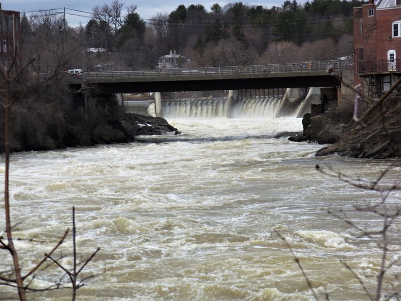
17. Cuyahoga River
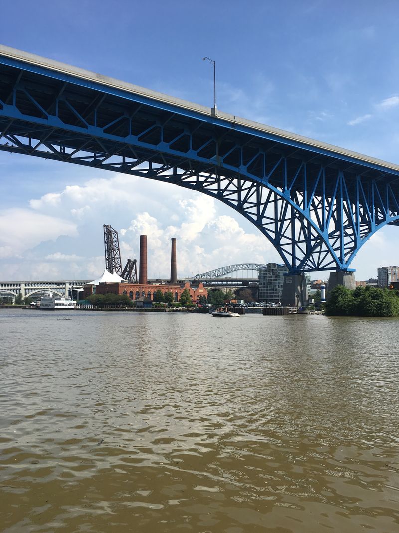
The Cuyahoga’s most famous moment was a fire that lit a movement. In 1969, oily water burned and the country decided clean rivers were nonnegotiable. Cleveland’s skyline watched, then helped rewrite environmental law that reshaped cities nationwide.
Now you can paddle past breweries and parks where mills once crowded the banks. The towpath trail stitches neighborhoods to a river reborn. You feel pride in every overlook where steel once smoked and herons now fish.
This river proves recovery is possible when policy, science, and local grit align. The Clean Water Act is not just paperwork here, it is visible in reflections. Cleveland wears the lesson on its waterfront, turning a cautionary tale into a daily invitation.
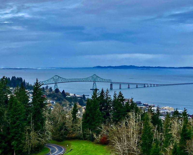
18. Willamette River
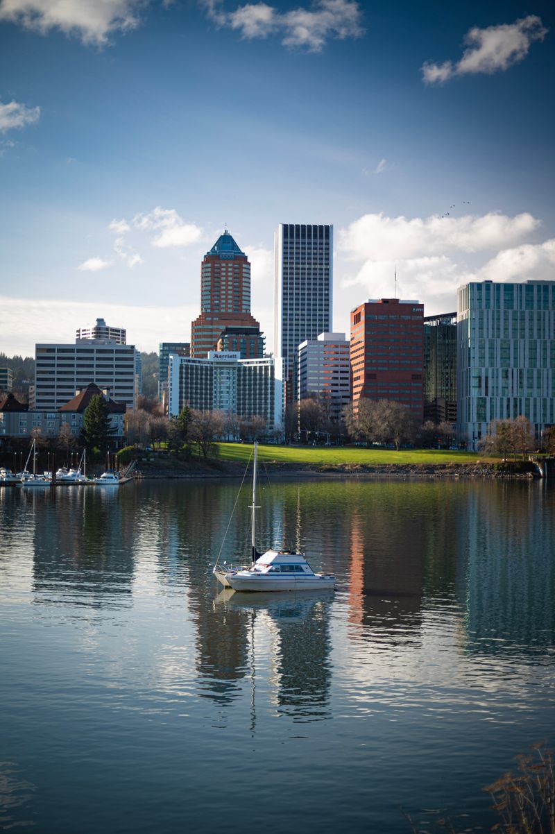
The Willamette is Oregon’s main street, carrying harvests and students, commuters and salmon. In Eugene and Salem, parks spill to the banks where joggers trace old ferry routes. Portland’s port and bridges knit farms to Pacific trade, a practical rhythm under rain-soft skies.
Settlers followed this valley for fertile soil, then shipped lumber, hops, and machinery downstream. You can spot grain elevators and craft warehouses sharing the same waterfront. The river taught towns to value clean water alongside busy docks.
Paddle a quiet side channel and you will hear ospreys and bicycle bells from the esplanade. The Willamette’s balance of work and play feels earned and careful. It keeps Oregon connected to the ocean without losing its backyard feel.


