Rivers can look calm from the bank, yet hide forces that overwhelm even strong swimmers and seasoned boaters. From icy snowmelt to invisible hydraulics, these waters have claimed lives and challenged rescuers for decades. This guide pinpoints the hazards that matter most so you can understand the risks before you venture near. Read on to discover the hidden dangers, notorious rapids, and sobering records behind America’s most perilous rivers.
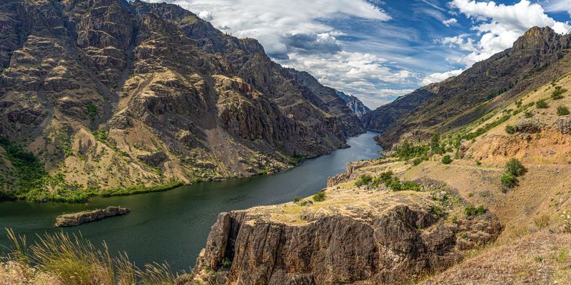
15. Columbia River (WA–OR)
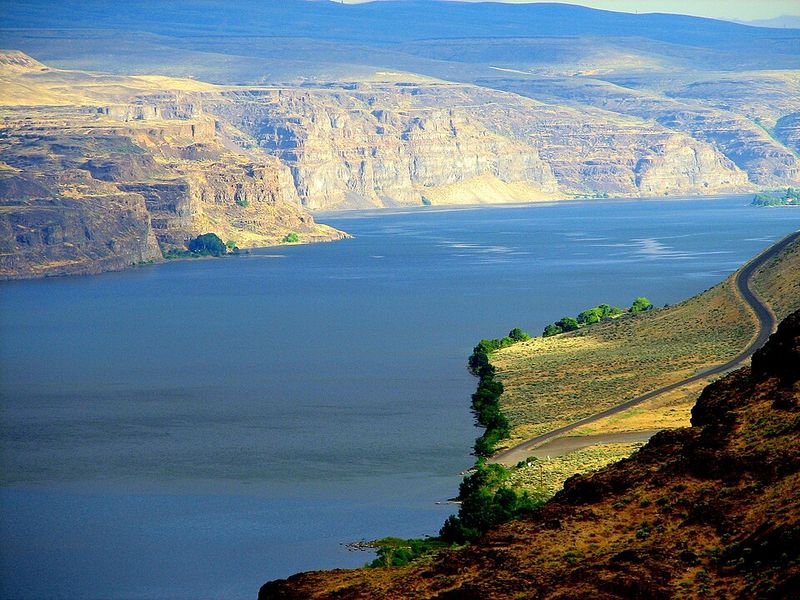
The Columbia looks broad and inviting, but its strong, fast currents and dangerous undertows can catch swimmers and small craft off guard, especially where the channel narrows or tides interact with river flow. Sudden weather shifts along the Columbia Gorge whip up steep, confused waves that can quickly overwhelm boats. Cold water saps strength and breath, while large commercial traffic pushes heavy wakes and reduces maneuvering room. Debris and unseen eddies complicate recoveries. Even experienced paddlers can misjudge wind-against-current conditions. Respect local advisories, wear proper cold-water gear, and keep clear of shipping lanes. The Columbia rewards caution and preparation.
14. Red River of the South (TX–OK–AR–LA)
The Red River’s murky, sediment-heavy water destroys visibility, a nightmare if someone slips beneath the surface. Strong currents constantly reshape sandbars and carve sudden deep holes, so a seemingly safe wade can become a plunge. Whirlpools and fast eddies spin swimmers off balance and can trap the unwary near strainers or debris. Logs and root wads drift invisibly just below the chocolate surface. Boat operators face shifting channels and unpredictable shoals. Flashy rises after storms add momentum and hazards. Wear a PFD, probe footing carefully, and avoid alcohol. Local knowledge matters; today’s safe crossing can be tomorrow’s dangerous drop.
13. Merrimack River (NH–MA)
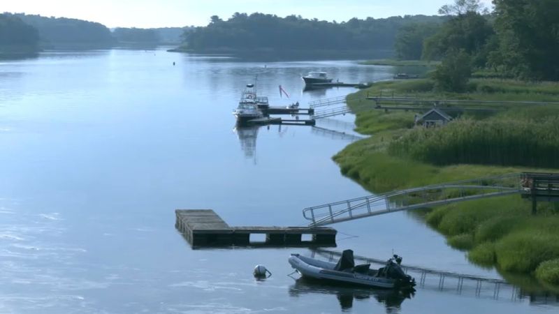
The Merrimack can appear placid yet funnels huge volumes through deceptively narrow reaches, creating powerful hidden currents. Sudden releases and rainstorms spike flows quickly, transforming a casual paddle into a fight for survival. There have been dozens of drowning deaths since 2010, highlighting how easy it is to underestimate risk. Cold water and pollution add health dangers during immersion or after. Near the Gulf of Maine, rough water and wind can pile up steep waves. Bridges and dams create treacherous turbulence and recirculation. Wear a PFD, scout put-ins and take-outs, and check flow forecasts. Calm-looking water can be lethal.
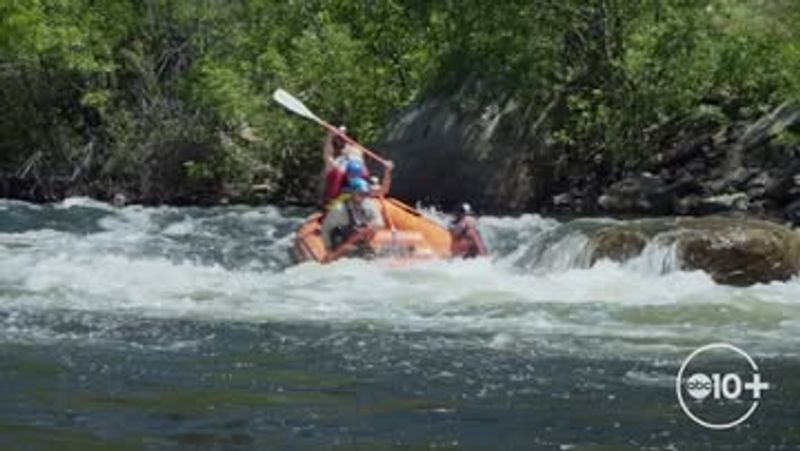
12. American River (CA)
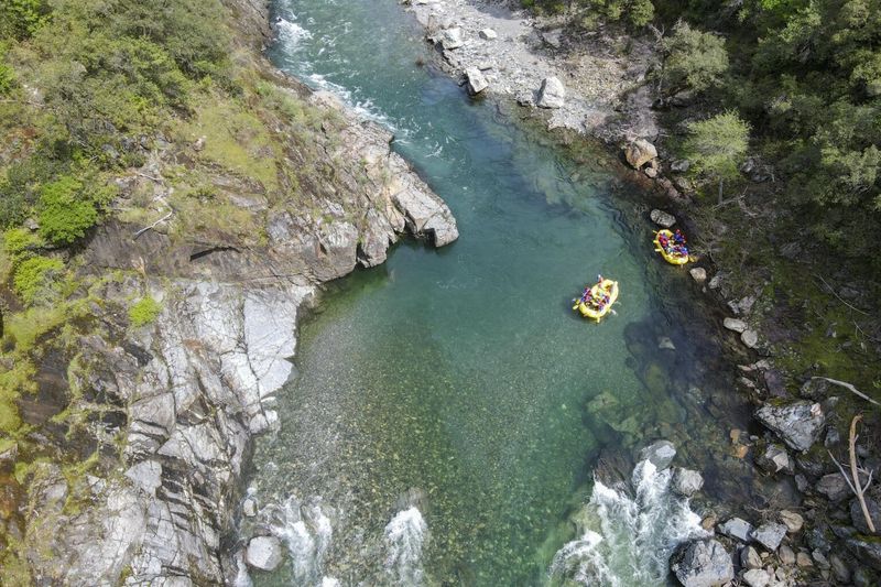
Spring snowmelt transforms the American into icy, fast-moving water that can incapacitate swimmers in minutes. Releases from upstream dams may raise levels quickly with little warning, catching rafters and waders on midstream rocks. The South Fork’s rapids, including Satan’s Cesspool and Hospital Bar, are infamous for flips and swims. Slippery granite and cold shock magnify danger. Even mellow-looking stretches conceal swift currents and strainers. Always wear a PFD and cold-water layers, and monitor release schedules. Paddle with experienced groups and scout rapids at lower flows. The American rewards skill, vigilance, and respect for rapidly changing conditions.
11. Green River Lodore & Canyonlands Sections (WY–UT–CO)
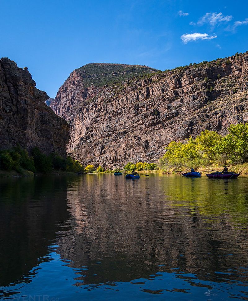
The Green slices through isolated desert canyons where rescue can take days and there’s no cell service. Lodore Canyon hosts notorious rapids like Disaster Falls and Hell’s Half Mile, with boat-crushing holes and boulder gardens. Far downstream, flash floods from distant storms spike levels 20 feet or more, transforming lines in minutes. Desert air bakes at triple digits while the river runs cold, increasing hypothermia risk after a swim. Self-support logistics demand serious planning, spare oars, and pin kits. Permits, weather intel, and conservative decisions save lives. Treat this river like a remote expedition, not a roadside float.
10. Salmon River River of No Return (ID)
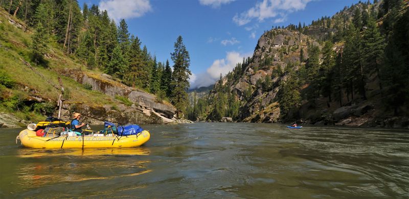
The Salmon carves through the largest contiguous wilderness in the lower 48, making evacuations slow and complex. Class IV features like Black Creek, Big Mallard, and Granite Creek have flipped rafts and caused fatalities. Air temperatures often surge past 100 while the river remains snowmelt-cold, punishing swimmers and exhausted paddlers. Miles between take-outs force long self-rescues. Debris from fires and slides can create new hazards overnight. Solid whitewater skills, drysuits in shoulder seasons, and redundant gear are essential. Communicate with outfitters, secure loads, and scout big drops. The Salmon is beautiful, remote, and utterly unforgiving of mistakes.
9. Chattooga River Section IV (GA–SC border)
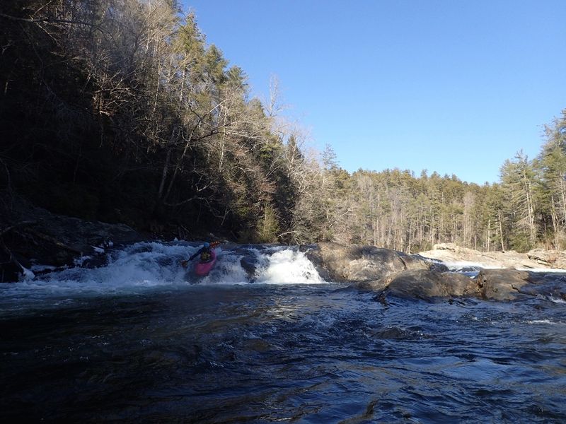
Section IV of the Chattooga concentrates fearsome Class V whitewater into the Five Falls, including Jawbone and Soc-em-Dog, where undercuts and sieves lurk beneath froth. Strainers can pin or drown swimmers as water rushes through. The gorge setting means long carries and technical rescues, with limited access for teams. Changing flows alter lines dramatically, punishing hesitation. Even expert paddlers portage certain features at specific levels. Helmets, rescue training, and disciplined teamwork are nonnegotiable. Scout meticulously, set safety, and know exit routes. This is bucket-list whitewater that demands humility and rock-solid skills from everyone on the trip.
8. Snake River Hells Canyon (ID–OR border)
Hells Canyon is North America’s deepest river gorge, focusing the Snake into big-volume hydraulics and huge Class IV waves. Wild Sheep and Granite rapids are infamous for swamping large boats, and the canyon’s cliffs complicate swims and rescues. Summer heat routinely reaches 100 to 110 while the river stays near 50, heightening cold-shock risk. Remote camps and long distances slow evacuations. Powerful eddy fences and boils flip inattentive crafts. Solid rowing skills, spare oars, and dry storage are essential. Respect the wind, secure loads, and scout at sensible flows. The grandeur hides serious, sustained whitewater power.
7. Potomac River Great Falls Gorge (MD–VA–DC)
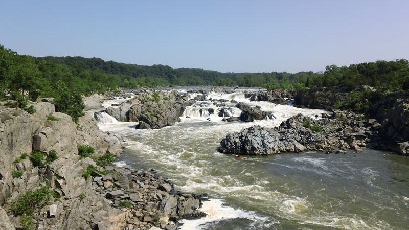
At Great Falls, the Potomac drops roughly 76 feet in under a mile across jagged bedrock, forming some of the steepest fall-line rapids in the East. Hidden hydraulics create powerful recirculating “drowning machines” that trap victims underwater. Multiple sections are closed to swimming, and free swimming is illegal due to frequent fatalities. American Whitewater documents dozens of severe incidents here. Cold water and contaminated stretches add health risk. High water dramatically reshapes lines and power. Observe closures, stay behind rails, and never underestimate the flow. Great Falls is mesmerizing and deadly in equal measure.
6. Meramec River (MO)
The Meramec is notorious for sudden depth changes that drop from ankle-deep gravel bars into 10 to 15-foot holes. Local officials report more than 20 deaths per year, often involving unwary waders and swimmers. Without major flood-control dams, the river rises fast during storms; the 2015 flood shut down Interstate 55. Submerged trees, debris, and strong currents can snag legs or roll small boats. Water clarity hides little of these risks. Life jackets, sober judgment, and careful footing save lives. Heed forecasts, avoid swollen water, and don’t trust gravel bars. Calm weekends turn dangerous in minutes.
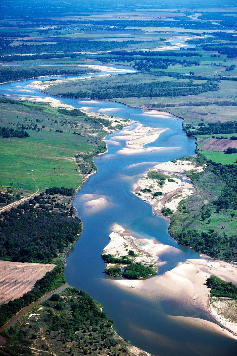
5. Mississippi River (multi-state)
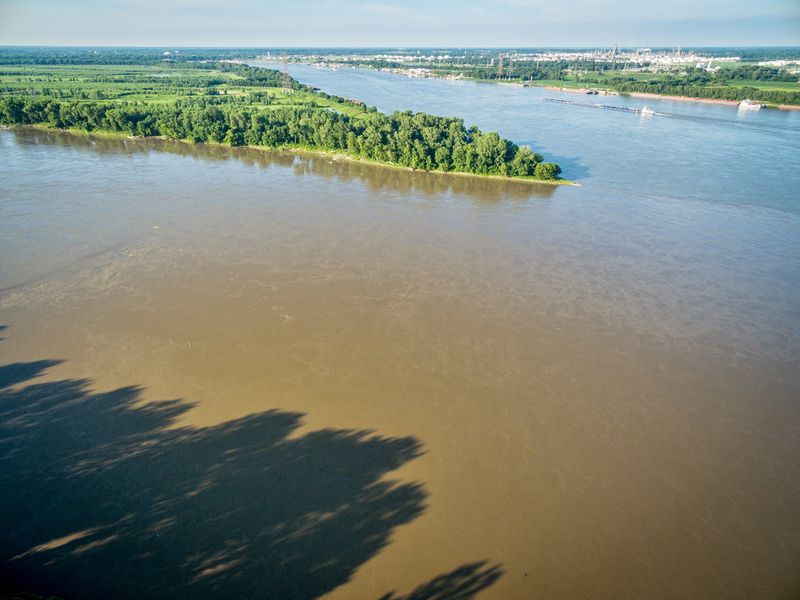
The Mississippi’s sheer volume creates deceptive undercurrents that overpower even strong swimmers. Its muddy water destroys visibility, making recoveries difficult once someone submerges. Heavy barge traffic throws massive wakes, while prop wash and currents push small craft off line. Pollutants and algal blooms add health risks during immersion. Boaters must navigate wing dams, boils, and eddy lines that can spin vessels unexpectedly. Weather amplifies hazards with wind-against-current chop. Wear a PFD, use AIS or marine radios near traffic, and avoid swimming outside designated areas. The big river looks placid until it isn’t, and mistakes escalate quickly.
4. Niagara River (NY–Ontario)
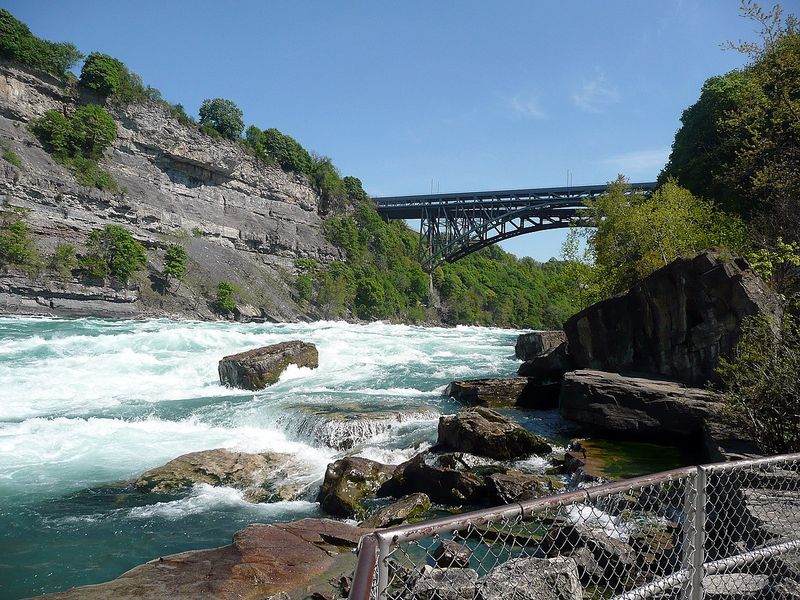
The Niagara River feeds world-famous falls and funnels into the Whirlpool Rapids, where currents approach highway speeds through a tight gorge. Reports suggest the river claims around 25 lives annually, often from entering restricted areas or risky stunts. Whirlpool vortexes can hold objects and people underwater. Cold water and cliffs limit self-rescue options. Even sightseeing points demand caution and respect for barriers. Boaters face violent standing waves and turbulent seams below the rapids. Treat every shoreline sign as life-or-death guidance. The spectacle masks relentless power that punishes complacency.
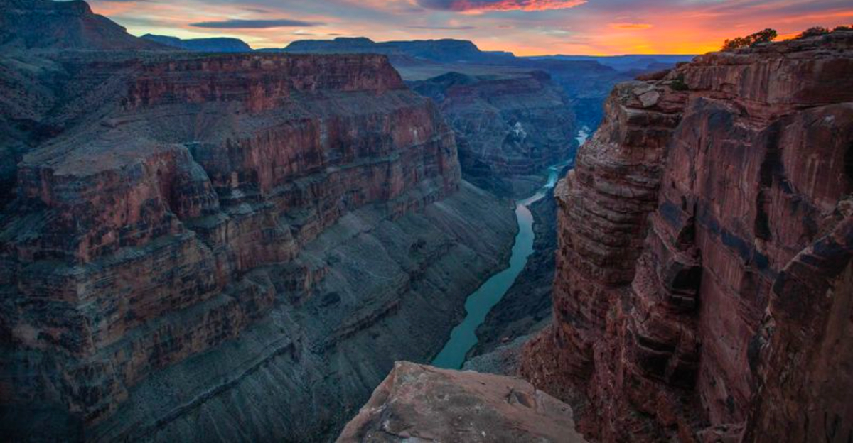
3. Colorado River Especially the Grand Canyon (CO–UT–AZ–NV–CA)
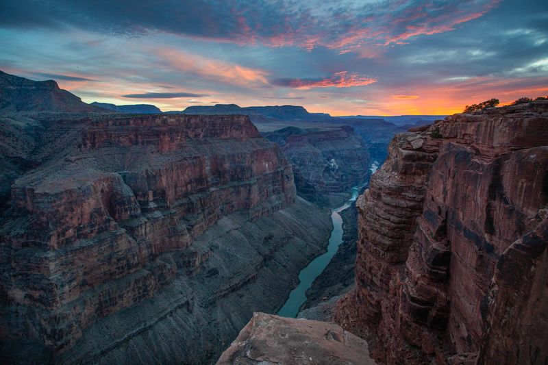
Through Grand Canyon, the Colorado delivers continuous big-water Class III to V rapids, with complex hydraulics that sometimes rate even higher. Rafting incidents and river-related accidents account for numerous deaths in some years. Cold water contrasts with scorching desert heat, increasing risk after a swim. Flash floods in side canyons reshape sandbars and pour debris into major drops, changing lines overnight. Long stretches between exits mean self-reliance is critical. Rig to flip, carry repair kits and first aid, and scout consequential rapids. The canyon’s grandeur conceals relentless momentum and unforgiving consequences.
2. Rio Grande (TX–NM–CO, US–Mexico border)
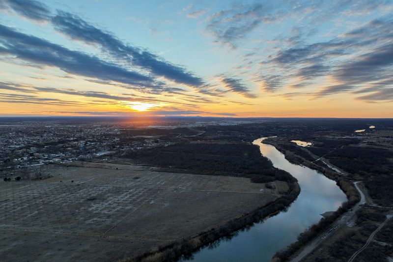
The Rio Grande’s desert canyons unleash sudden flash floods, especially in Santa Elena and Mariscal, turning mild flows into raging brown torrents. It is also a deadly migration corridor, with thousands of drownings reported since 2014 as people attempt hazardous crossings. Strong currents, strainers, and shifting channels complicate rescues. Summer heat bakes the river corridor while the water remains surprisingly cold, adding shock risk. Remoteness slows response and medical care. PFDs, weather vigilance, and conservative choices are essential for all users. Even benign levels can escalate rapidly after upstream storms, day or night.
1. Kern River The Killer Kern (CA)
The Kern is widely called America’s deadliest river, with signs tracking a running death toll numbering in the hundreds since the late 1960s. The North Fork’s gradient near 30 feet per mile creates relentless Class IV to V rapids over slick granite, with waterfalls and undercuts punishing errors. Even calm-looking reaches hide fierce currents and cold snowmelt. Rapid snowmelt and storms spike flows, stranding people on midstream rocks and bars. Rescue access is tough in narrow canyons. Helmets, PFDs, cold-water gear, and conservative decisions are mandatory. Respect closures and flow warnings. The Kern rewards caution, not bravado.


