Brace yourself for a punch of arctic air that will make even the hardiest winter fans reach for another layer. Record-challenging lows are racing from the Plains to the Northeast, and the cold is sticking around longer than anyone hoped. You will feel it in the morning with single digits, and again in the afternoon when highs struggle to escape the teens. If you are wondering when the thaw arrives, forecasters say not yet.
No Relief In Sight
You can feel the change the moment the wind shifts out of the north. An arctic air mass is spilling south and it is not just a quick hit. Forecasters warn the chill will deepen through midweek, with sub-freezing temperatures reaching well into the Plains and Midwest.
Thanksgiving brought a preview, but this round digs in and broadens the impact. Expect mornings that bite, with wind chills pushing conditions from uncomfortable to dangerous if you are caught without layers. By afternoon, highs in the teens and low 20s will keep roads slick and furnaces working overtime.
Travel plans may need flexibility as the cold interacts with spotty snow and lingering ice. Power demand will surge, so conserving energy where possible helps the grid. Keep pets inside, check on neighbors, and give yourself extra time for a slower, safer commute.
Records May Be Broken
Dozens of daily records are on the table, especially Thursday and Friday at daybreak. Cities like Cedar Rapids, Des Moines, and La Crosse could challenge or break long-standing low-temperature marks. If you are up early, expect that first inhale to sting and watch for icy patches on untreated sidewalks.
Beyond the lows, record cold highs are possible as afternoon temperatures stall in the teens or low 20s from Missouri to Michigan. That means daytime might not feel much better than dawn. Even brief time outdoors calls for insulated gloves, a wind-stopping shell, and warm footwear to prevent numb toes.
Airports and schools will be watching thresholds closely. Equipment strains, batteries fail faster, and delays stack up when cold bites this hard. If you can, shift errands to the warmest window of the day and keep emergency supplies in your car, just in case.
When And Where The Chill Hits
Wednesday brings the first punch to the Northern Plains and Upper Midwest, with highs in parts of North Dakota and northern Minnesota stuck in the single digits. By Thursday morning, the freeze pushes south into Oklahoma while the Upper Midwest drops below zero. Eastern Nebraska and Iowa may wake to teens below zero in the coldest pockets.
Thursday afternoon offers little comfort, running 15 to 25 degrees below normal. Oklahoma City could remain below freezing sunrise to sunset. Farther north, many towns will not crack 20, and brisk northwest winds will keep wind chills firmly in the danger zone.
Friday extends the reach east and south. Single digits and teens arrive from the Great Lakes to New England, with New York City and Philadelphia flirting with lows near 20. Northern Texas, Tennessee, the Carolinas, and Virginia likely hold in the 30s as the core cold glides past.
Snow Chances And Travel Impacts
This front is mostly about the cold, not the snow, but do not let that fool you. A light dusting can turn roads slick, especially overnight and at daybreak. Most accumulation should stay in the northern tier, with narrow bands in the Midwest, Ohio Valley, and interior Northeast brushing surfaces just enough to glaze.
Great Lakes snowbelts could squeeze out localized bursts, but widespread heavy snow looks unlikely. The bigger headache is black ice where melting and refreezing cycles repeat through the week. If you are driving, slow down on bridges and ramps first, where cold air wraps the pavement and freezes faster.
Air travel may fluctuate with deicing delays and wind shifts. Keep alerts turned on and pack patience alongside a charger and warm layers. For home, clear vents, check detectors, and keep a small kit with water, snacks, and blankets in case of a short outage.
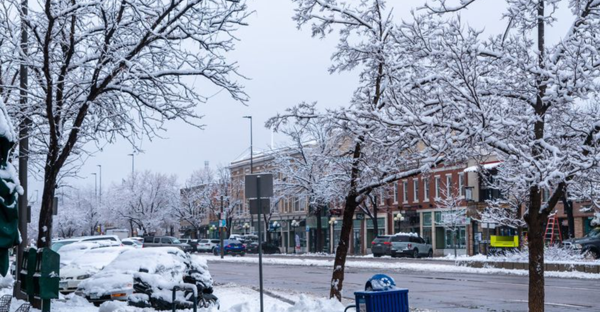
Winter’s First Big Punch
Winter is officially underway as of December 1, and it is not easing in gently. Chicago logged more than 8 inches at O Hare during a single November day, an airport record, with hundreds of cancellations and snarled roads. The Twin Cities picked up nearly 8 inches as well, and forecasts lean colder and snowier than average into February.
New England just rode out a storm with wind, ice, and up to 10 inches in spots as schools closed and flights stacked delays. Ohio and Pennsylvania dealt with crashes and highway restrictions while crews treated miles of pavement. If you are commuting, give plows space and plan extra minutes for slow rollouts.
Across the Northeast, Friday may struggle to climb above freezing, while some in the Plains only see a modest warm-up. The takeaway is simple: this is a sustained early hit. Keep layering smart, hydrate even in the cold, and watch neighbors who may need a hand.


