Climate change isn’t just something that will happen far in the future. Many American cities are already feeling its effects, and scientists warn that by 2040, some places will face serious challenges. From rising seas swallowing coastlines to record heat waves and shrinking water supplies, these urban areas must prepare now or risk becoming unlivable for millions of people.
1. Miami, Florida: Sea-level rise, groundwater flooding & saltwater intrusion
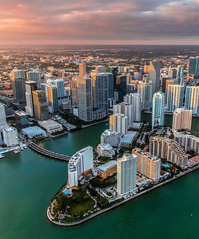
Miami sits at the frontline of America’s climate emergency. By 2040, scientists predict sea levels around Miami-Dade County will climb 10 to 17 inches higher than they were in 2000. That might not sound like much, but it means regular flooding during high tides and storms that never happened before.
The bigger danger hides underground. Saltwater is creeping into the Biscayne Aquifer, which provides drinking water to millions of South Floridians. When ocean water mixes with freshwater sources, wells become unusable and entire neighborhoods lose access to clean drinking water.
Local government agencies are working with university researchers to track where flooding will strike next. They’re building computer models to predict which wellfields need protection first. Miami’s challenge isn’t just keeping water out of streets but keeping salt out of taps. Time is running short to safeguard one of America’s most vibrant cities from a watery future.
2. New Orleans, Louisiana: Subsidence + rising seas = shrinking safety margins
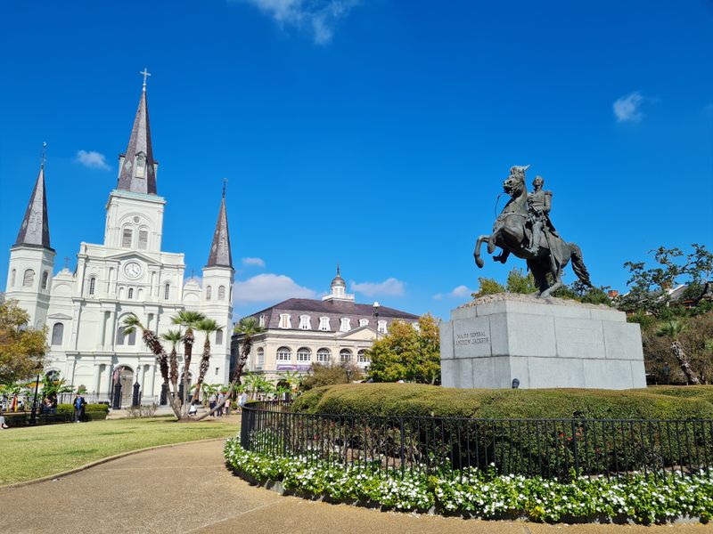
New Orleans has always lived with water, but now the ground beneath the city is sinking at different rates across neighborhoods. Satellite technology reveals this uneven subsidence, creating a patchwork of vulnerability. Some blocks drop faster than others, stressing foundations and underground pipes.
Rising seas make the sinking worse. The levees and massive pumps that saved parts of the city during past hurricanes were designed for conditions that no longer exist. Engineers warn that the city’s flood protection system needs constant upgrades just to maintain current safety levels, let alone improve them.
Federal studies show that by 2040, the margin for error shrinks dramatically. A storm that would have been manageable twenty years ago could overwhelm defenses. Homeland security experts now classify New Orleans as a critical infrastructure challenge. Residents face tough choices about whether staying is worth the rising risk and cost of protection.
3. Norfolk–Virginia Beach, Virginia: Recurrent tidal flooding escalates
Coastal Virginia already sees flooding on sunny days when the moon pulls tides especially high. What used to be rare now happens dozens of times each year. Norfolk, home to the world’s largest naval base, watches seawater bubble up through storm drains during high tide, turning streets into shallow rivers.
Old Dominion University researchers estimate that hundreds of square miles could face permanent flooding by 2040 if current trends continue. Statewide assessments paint an alarming picture: countless buildings, major roads, and critical infrastructure sit in harm’s way under near-term sea-level scenarios.
The city publishes detailed flooding studies and adaptation plans, trying to stay ahead of the water. Military planners worry about protecting billion-dollar ships and submarines while neighborhoods debate whether to build higher or relocate. For Hampton Roads, the question isn’t if flooding will worsen but how quickly communities can adapt before water wins.
4. Charleston, South Carolina: High-tide flooding surging
Charleston’s charm comes with a price: the historic peninsula floods more often every year. NOAA data shows high-tide flooding increasing exponentially, not gradually. The city has measured roughly 13 inches of sea-level rise over the past century, but here’s the startling part: about half that rise happened in just the last 20 years.
This acceleration signals worse ahead. What locals call nuisance flooding now disrupts businesses, damages cars, and closes roads multiple times monthly. By the 2030s and 2040s, routine tides could flood areas that stayed dry for generations.
City officials track every flood event, building databases to predict which neighborhoods will become uninsurable first. Tourism drives Charleston’s economy, but visitors don’t enjoy wading through salty water to reach restaurants and shops. The cobblestone streets that survived hurricanes and wars now face a slower, more persistent threat that arrives twice daily with the tide.
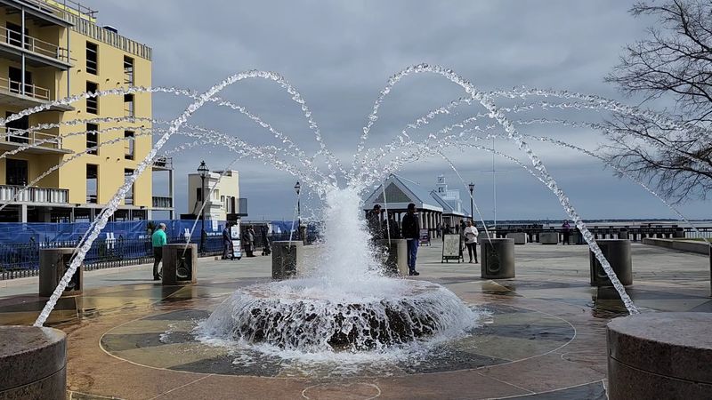
5. Houston, Texas: Extreme rain + rapid growth in floodplains
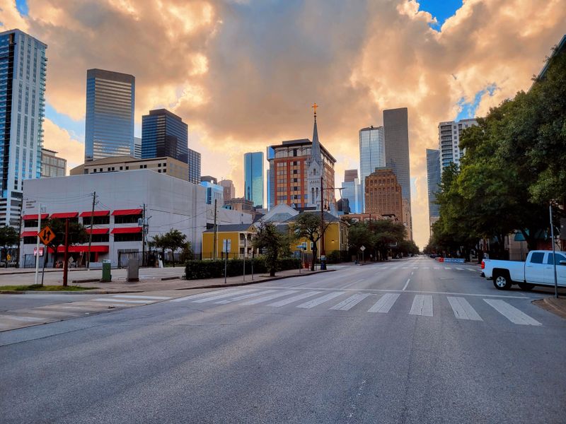
Hurricane Harvey showed the world what Houston already knew: the city floods catastrophically when tropical storms stall overhead. Unfortunately, Houston keeps building in flood-prone areas. Development in floodplains has actually increased since Harvey, raising the stakes for the next big storm.
Harris County launched the SAFER study and other large-scale research projects to understand flood risk better. Scientists warn that climate change is loading the atmosphere with more moisture, making extreme rainfall events more intense. When those downpours hit concrete and pavement instead of prairie, water has nowhere to go but into homes and businesses.
Local officials face criticism for allowing construction in known flood zones. By 2040, the combination of heavier rains and poor planning could make parts of America’s fourth-largest city routinely unlivable after storms. Buyout programs help some families relocate, but thousands more remain in harm’s way, hoping the next hurricane turns somewhere else.
6. Phoenix, Arizona: Extreme heat at the edge of human tolerance
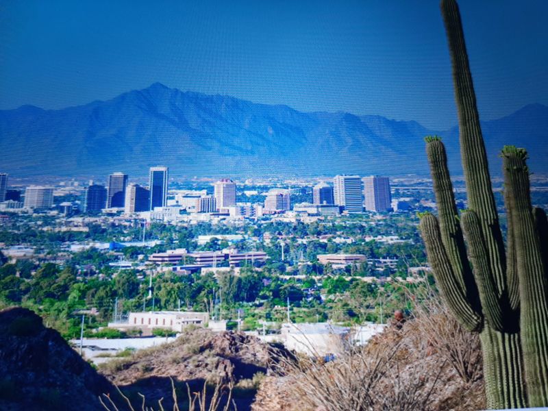
Phoenix is testing the limits of human survival. Recent summers have shattered records with weeks of temperatures exceeding 110 degrees Fahrenheit. Hundreds of people have died from heat exposure in just single summers, often homeless individuals or those without air conditioning.
Scientists point to Phoenix as the epicenter of America’s urban heat crisis. The desert city’s dark pavement and buildings absorb sunlight all day, then radiate heat all night, creating an urban heat island that barely cools. Nighttime temperatures staying above 90 degrees prevent bodies from recovering between brutal days.
Public health agencies warn that without massive investments in shade structures, cooling centers, and green space, Phoenix could become dangerously unlivable by the 2040s. Outdoor work might become impossible during summer months. Even walking from a car to a building could pose risks. The city that boomed on the promise of endless sunshine now faces a future where that same sun becomes a deadly threat.
7. Las Vegas, Nevada: Water scarcity tied to Lake Mead
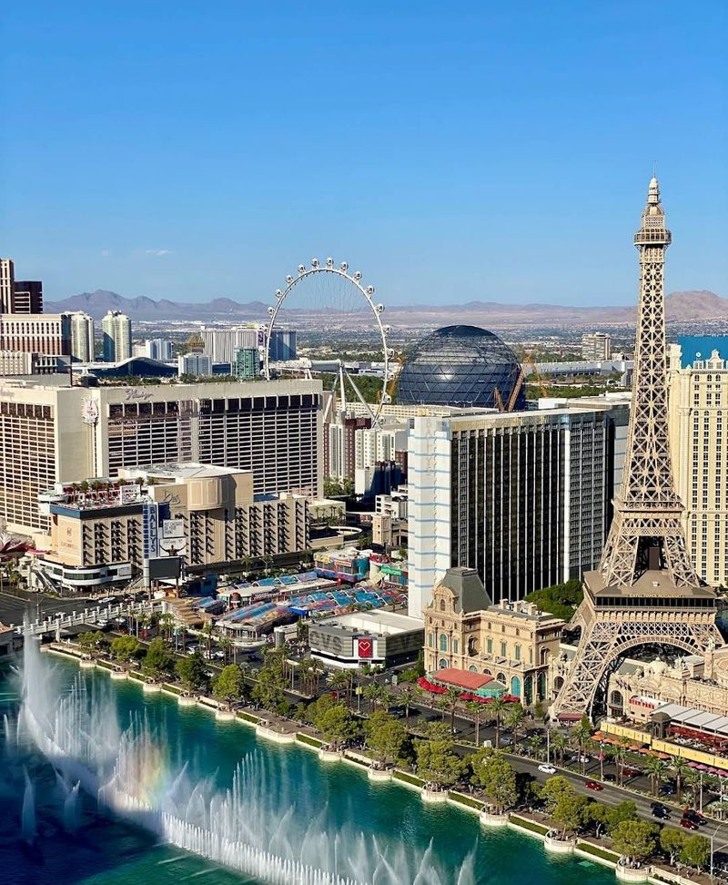
What happens in Vegas depends entirely on Lake Mead. Southern Nevada draws roughly 90 percent of its water from this massive reservoir on the Colorado River. The problem? Lake Mead is shrinking fast. White rings on canyon walls show where water used to reach, now dozens of feet above the current surface.
Federal forecasters predict the reservoir could hit record lows by 2027, triggering shortage declarations that force cities to cut water use. Long-term aridification means less snowpack in the Rockies, which feeds the Colorado River. Even though Las Vegas has become more efficient with water, the 2030s and 2040s look increasingly parched.
Water agencies are exploring desperate measures: pipelines from other states, deeper intake pipes from the lake, even cloud seeding to increase rainfall. Meanwhile, the city keeps growing. If Lake Mead continues dropping, Las Vegas might have to choose between limiting growth or facing a day when taps run dry in the middle of the desert.
8. Fresno, California: Worsening wildfire smoke & chronic air pollution
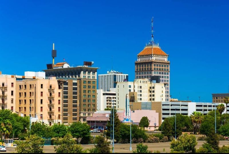
Breathing in Fresno has become a health hazard. The American Lung Association consistently ranks the metro area among the nation’s most polluted, and climate change is making things worse. California’s wildfire seasons now stretch longer and burn hotter, sending massive smoke plumes across the Central Valley where Fresno sits like a bowl, trapping pollution.
Residents face a double threat: year-round smog from traffic and agriculture, plus seasonal wildfire smoke that turns skies orange and forces people indoors. Children and elderly residents suffer the most, with asthma and respiratory illnesses spiking whenever smoke rolls in.
State health officials warn that by 2040, outdoor activities might become hazardous for weeks or months each year. Schools cancel recess, sports leagues postpone games, and workers who labor outdoors risk lung damage. Fresno’s affordable housing attracts families, but the air they breathe could steal years from their lives. The valley that feeds America is slowly choking on smoke and smog.
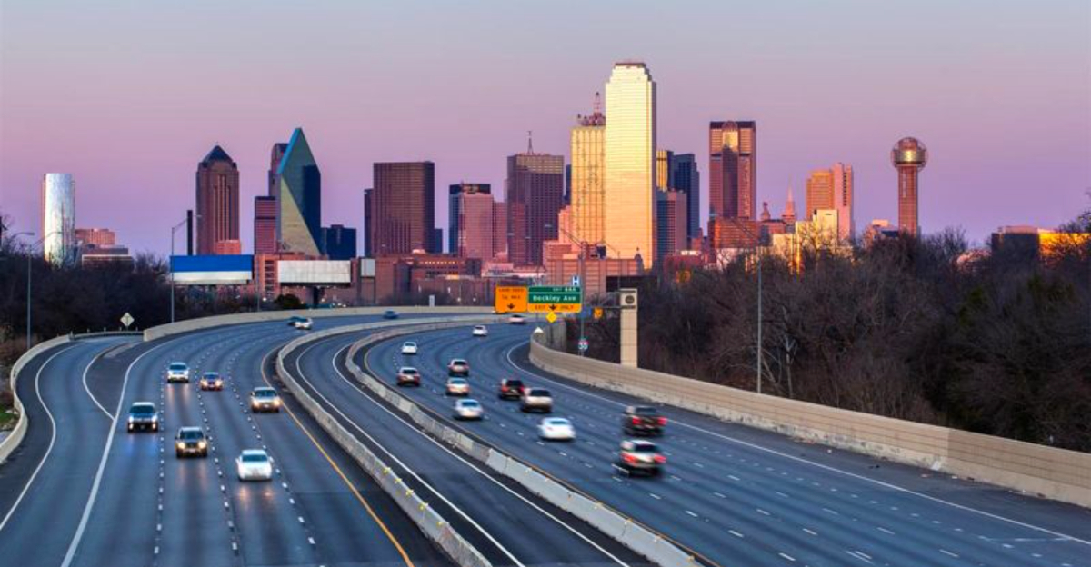
9. Dallas, Texas: Intensifying heat waves & urban heat island effects
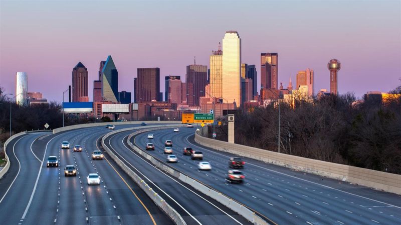
Dallas summers are getting longer and more brutal. EPA analyses document heat waves that arrive earlier, last longer, and reach higher temperatures than in past decades. The Dallas-Fort Worth metroplex, with its sprawling concrete and limited tree cover, creates intense urban heat islands where temperatures spike well above surrounding areas.
City officials working with NOAA have mapped these hotspots, revealing neighborhoods where pavement and rooftops turn streets into ovens. Low-income communities often suffer the worst heat because they have fewer trees and older homes with inadequate cooling.
Climate projections show many more extremely hot days coming by mid-century. The 2030s and 2040s will likely see weeks where heat indexes exceed safe levels for outdoor activity. Construction workers, delivery drivers, and anyone without reliable air conditioning face serious health risks. Dallas built its economy on growth and opportunity, but rising heat threatens to make the city hostile to the people who keep it running.
10. Miami–Fort Lauderdale corridor (regional vantage): Sea-level & infrastructure compounding risks
South Florida’s crisis extends far beyond Miami city limits. The entire corridor from Miami through Fort Lauderdale faces interconnected threats as seas rise and groundwater tables follow upward. Roads, power plants, water treatment facilities, and airports were built assuming stable sea levels. That assumption no longer holds.
Regional planners using NOAA tools see infrastructure stress mounting quickly. When groundwater rises, it weakens building foundations, corrodes underground utilities, and makes septic systems fail. Saltwater doesn’t just flood streets during storms; it permanently contaminates the freshwater lens beneath communities.
The near-term planning horizon (2040 and beyond) looks challenging even in best-case scenarios. Millions of residents depend on systems designed for a climate that no longer exists. Fixing everything would cost hundreds of billions of dollars that nobody has budgeted. South Florida’s golden age of growth may be ending as water reclaims land that was always borrowed from the sea.


