A massive eruption at Yellowstone could send volcanic ash across thousands of miles, blanketing entire cities and shutting down life as we know it. Scientists at the U.S. Geological Survey have run computer simulations to predict where the ash would fall heaviest and which communities would face the worst impacts. Understanding these risks helps us prepare for one of nature’s most powerful and far-reaching disasters.
1. West Yellowstone, Montana

Positioned directly on the park’s western boundary, this gateway town faces unimaginable danger if Yellowstone’s caldera explodes. Pyroclastic flows – superheated avalanches of gas and rock—could race outward at hundreds of miles per hour, obliterating everything in their path.
Heavy ash would pile up so fast that buildings might collapse under the weight. Water supplies would turn toxic, and roads would become impassable within hours. Proximity to the caldera makes escape nearly impossible once an eruption begins.
2. Jackson, Wyoming

Sitting roughly 60 miles south of the caldera, Jackson would be slammed by thick ashfall and regional chaos. In the most extreme scenarios, pyroclastic density currents might even reach this far, turning the valley into a hellscape.
Infrastructure would crumble under the strain. Roads, power lines, and water treatment plants would fail as ash clogs machinery and contaminates every surface. The town’s remote location means help would be slow to arrive, leaving residents to fend for themselves in the immediate aftermath.
3. Cody, Wyoming

About 50 miles east of Yellowstone, Cody sits in the direct line of fire for ashfall and potential pyroclastic impacts. The town’s water supply would turn into a toxic slurry, undrinkable and dangerous.
Ash would blanket rooftops, piling up until structures buckle and collapse. Hospitals and emergency services would be overwhelmed by respiratory illnesses and injuries. Long after the eruption ends, lingering ash would continue to poison the environment, making recovery slow and painful.
4. Island Park & Rexburg, Idaho
Island Park hugs the caldera’s southwest edge, placing it among the most exposed communities anywhere. Rexburg, a regional hub farther down the highway, would still face catastrophic ashfall that buries roads and shuts down transportation.
USGS simulations show the thickest ash deposits concentrate near the source, then spread downwind for hundreds of miles. Buildings would lose power as utility lines snap under the weight. Water treatment facilities would fail, leaving tens of thousands without safe drinking water for weeks or months.
5. Idaho Falls, Idaho
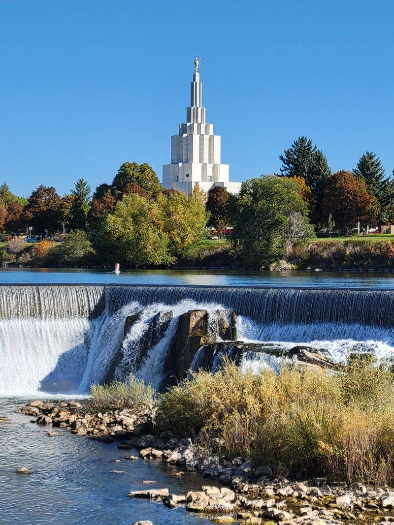
Eastern Idaho’s largest city would likely become a disaster response hub, even while drowning in ash. Power grids would flicker and die as fine particles short-circuit transformers and clog cooling systems.
The airport would close immediately, stranding thousands. Contaminated water and air would create public health emergencies, overwhelming hospitals already struggling with injured evacuees. USGS modeling shows that ash from a supereruption can blanket broad areas, with the heaviest loads falling nearest the caldera and downwind, making Idaho Falls a critical but crippled staging area.
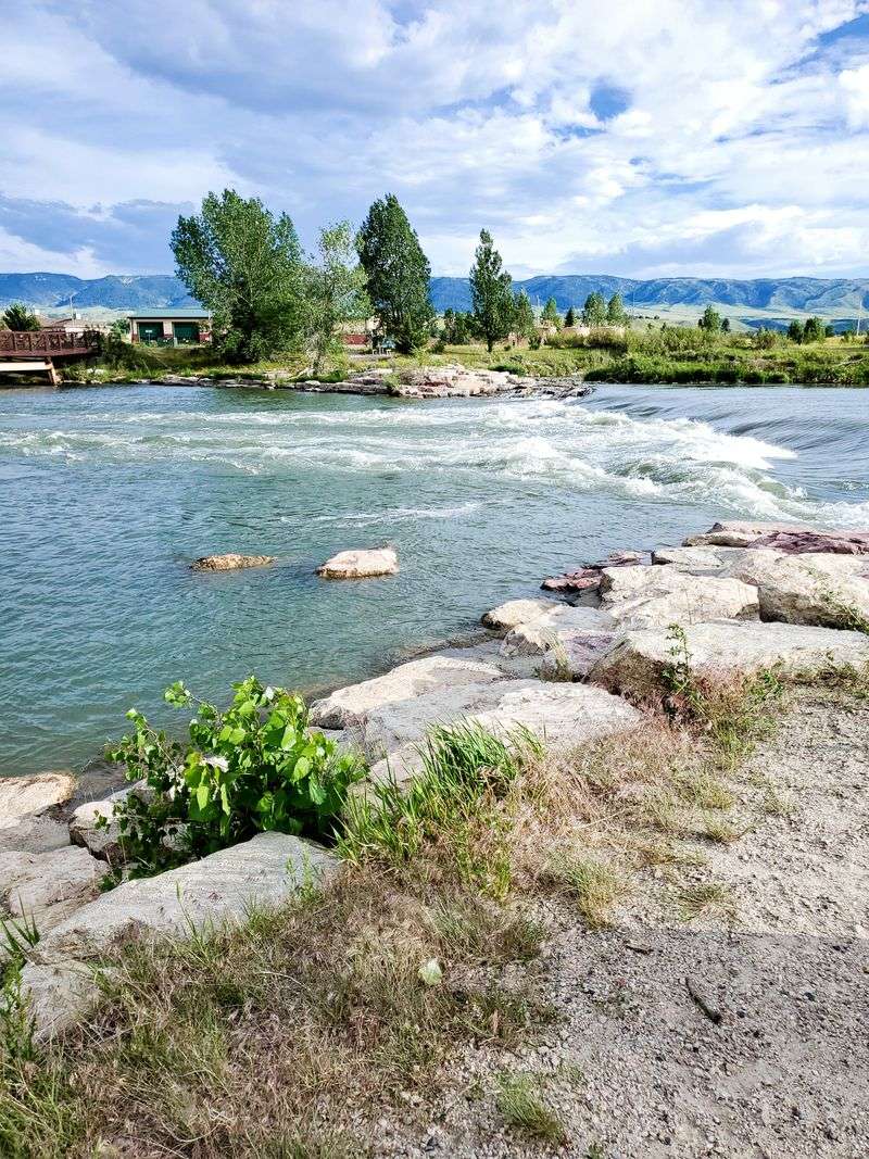
6. Bozeman, Montana
Roughly 80 miles from the caldera, Bozeman has grown fast in recent years, but that growth means more people at risk. Ashfall would pile high enough to collapse roofs and bury cars.
Machinery of all kinds would seize up as fine ash infiltrates engines and electronics. Water supplies would become contaminated, and the regional airport would shut down, cutting off air travel. Highways would turn into ash-covered dead zones, trapping residents and making evacuation or resupply nearly impossible for days.
7. Billings, Montana
Montana’s biggest city sits farther northeast, yet modeled scenarios show the potential for very heavy ash depending on wind patterns. Media summaries of USGS-backed modeling have noted extreme ash depths possible here in worst-case simulations.
Even outside the heaviest zone, ash can cripple power grids, hospitals, and transport networks. Fine particles would infiltrate ventilation systems, causing respiratory crises. Emergency services would be stretched thin, and the city’s role as a regional hub would collapse under the weight of the disaster.
8. Casper, Wyoming
Central Wyoming cities like Casper could face deep ashfall under many east-favorable wind patterns shown in USGS Ash3D supereruption runs. That translates to prolonged loss of mobility, power, and safe drinking water.
Roads would become impassable, trapping residents and halting supply chains. Hospitals would struggle to treat victims of respiratory distress and injuries from collapsing structures. The city’s isolation would make outside help slow to arrive, leaving communities to survive on their own for an extended period.
9. Cheyenne, Wyoming
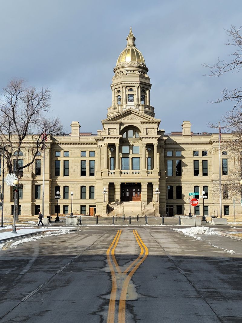
Wyoming’s capital sits at a critical I-25/I-80 junction, which becomes a major liability during an eruption. Ash would shut down highways, rail lines, and runways, paralyzing the entire region.
Fine particles would clog engines and cause long-lived air-quality emergencies. USGS research underscores ash and tephra as the most widespread hazard of explosive eruptions. Cheyenne’s role as a transportation hub would vanish overnight, and the city would become isolated, unable to receive supplies or evacuate residents effectively.
10. Rapid City, South Dakota
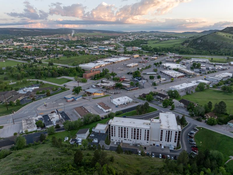
Well downwind under prevailing westerlies, Rapid City appears in many simulations inside zones of disruptive to severe ashfall. Utilities would be overwhelmed as ash clogs water treatment plants and fouls power generation.
Healthcare systems would buckle under the strain of respiratory illnesses and injuries. Transportation would grind to a halt, even without the threat of nearby pyroclastic flows. The city’s reliance on tourism would evaporate, and recovery would take years, not months, as ash continues to impact daily life.
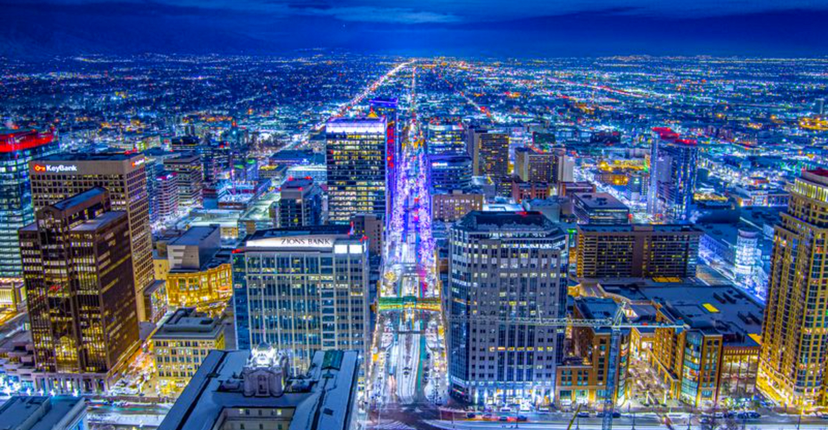
11. Salt Lake City, Utah
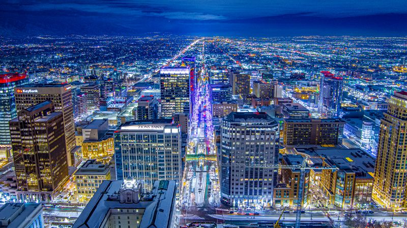
Prevailing winds often carry ash east, but major urban centers to the southwest can still receive substantial ash depending on the plume and circulation. A thick ash blanket over Salt Lake City would ground flights, contaminate water facilities, and stress the power grid.
USGS modeling explores month-long and shorter eruptions with continent-scale ash umbrella clouds. Even a moderate ashfall would shut down the city’s economy and leave millions struggling. The valley’s geography would trap ash, prolonging the crisis.
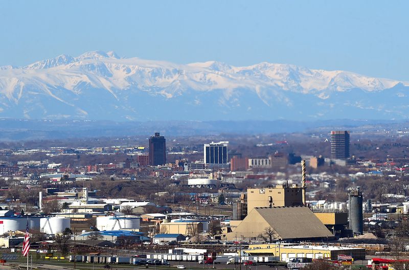
12. Denver, Colorado
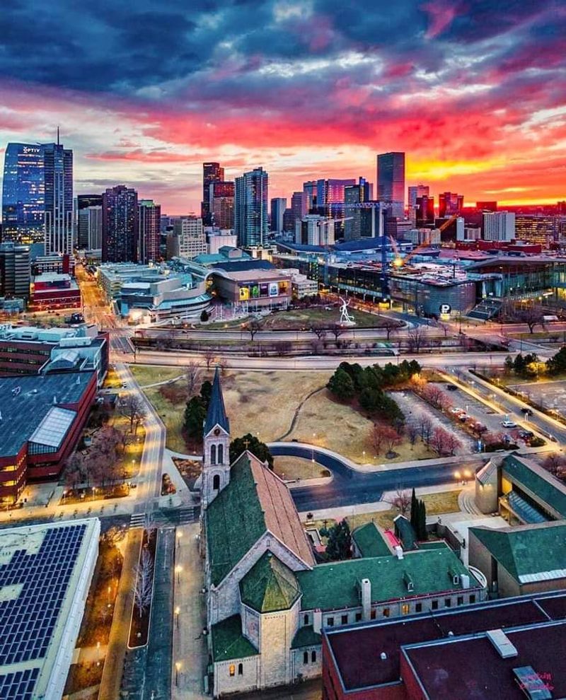
Farther from the source but a critical Western hub, Denver is vulnerable to disruptive ashfall in many simulations. Even a few millimeters to centimeters can shut airports and highways and cause widespread machinery failure and respiratory problems.
USGS focuses heavily on tephra as the dominant widespread hazard because it travels so far and impacts so many systems. Denver’s role as a transportation and economic center would collapse, stranding travelers and halting commerce across the region for weeks.


