A powerful winter storm is locking onto the southern and central Rockies, and the timing could not be trickier for midweek and pre-holiday travel. If you are driving mountain passes or flying through major hubs, expect disruptions and rapidly changing conditions. Heavy snow bands will favor higher elevations first, then spill into foothills and some valleys with slick roads and sudden drops in visibility. Stay with this guide to see what is happening now, where the worst hazards will set up, and how to travel safer if you must be out.
Broad Winter Storm Alerts Issued Across Colorado and New Mexico
Winter storm warnings and advisories blanket wide swaths of Colorado and New Mexico as a Pacific surge collides with entrenched cold. You will notice the quickest deterioration in mountain corridors where wind funnels through passes and snow stacks up fast. Even valleys can flip from wet to slick within minutes as heavier bands rotate overhead.
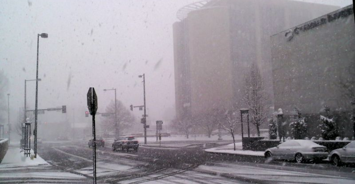
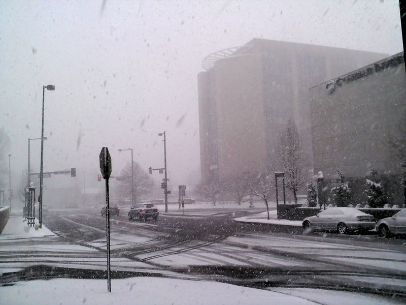
West of I-25 looks primed for the most persistent snow, with spillover into places like the Denver metro at times. The National Weather Service cautions that quick whiteouts and drifting can surprise drivers who are not prepared for traction changes. Expect traction laws, spot closures, and slower plow cycles during bursts.
Airports could see delays from de-icing queues and reduced visibility, especially during peak departures. If your plans are flexible, consider shifting travel to a calmer window and track updates frequently. Keep alerts on for your county so you can pivot quickly as the storm evolves.
Colorado Mountain Ranges Could See Up to 20 Inches of Snow
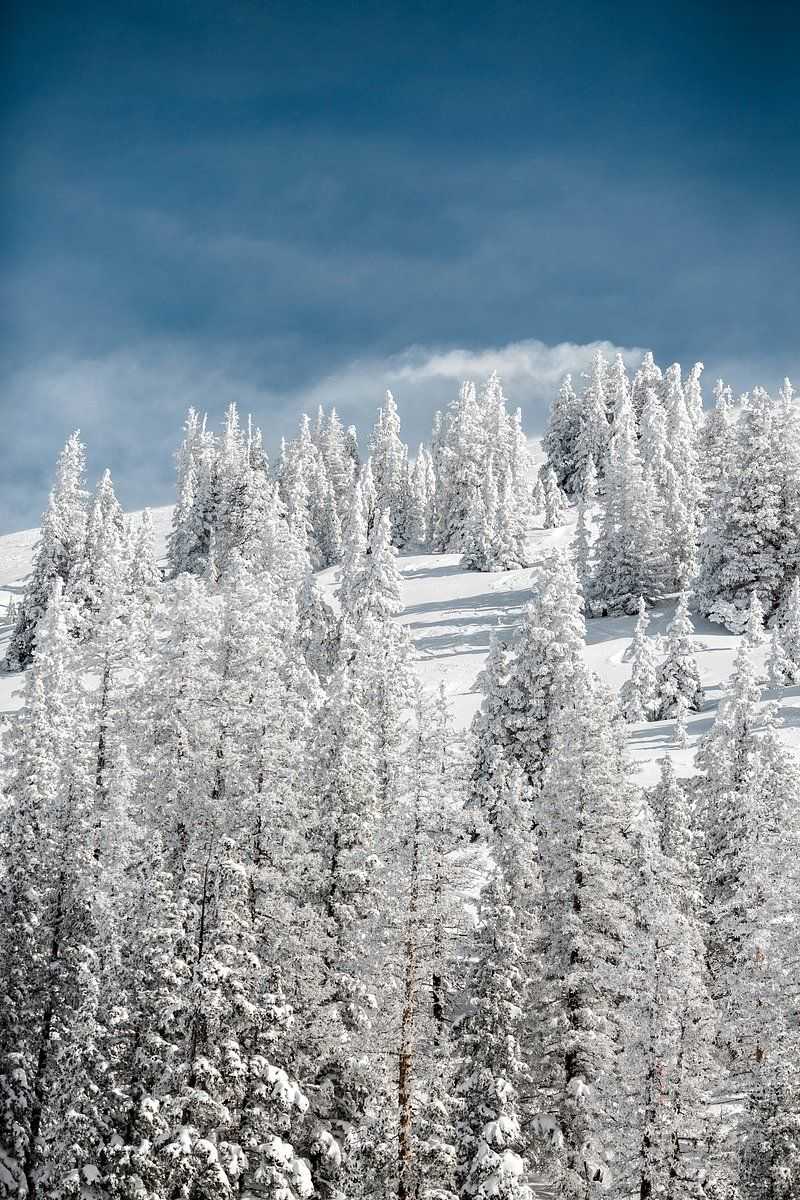
Colorado’s high terrain is the snowfall bullseye, with the Sangre de Cristo range favored for 8 to 20 inches. Warnings include the eastern San Juans, Wet Mountains and Valley, Upper Rio Grande Valley, and Saguache County zones. These totals can ramp up quickly where upslope and terrain channeling boost rates.
Interstate 70 and other steep corridors often flip into traction restrictions during the biggest bursts. Even below major passes, 4 to 11 inches will be enough to create ice patches and poor visibility around curves and exposed ridges. Lighter totals near Denver still come with slick bridges and fast-changing lane conditions.
NWS meteorologist Brian Hurley notes the heaviest focus west of I-25, with some snow sneaking south toward Pueblo. Later this week, northwest Colorado could add light accumulations that refresh ski surfaces without hammering the Front Range. If you are driving, plan extra time and carry chains where required.
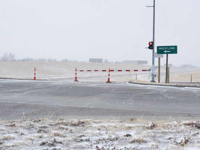
New Mexico Also Under Warnings, With Raton Pass a Major Concern
Northern New Mexico’s mountains are under warnings with 6 to 12 inches common and up to 15 inches near the Colorado line. The East Slopes and Northern Sangre de Cristo plus Johnson and Bartlett Mesas are in the crosshairs. Raton Pass stands out as a trouble spot where wind and grade combine to produce fast whiteouts.
Even moderate totals here can force escorts, restrictions, or closures for commercial traffic. Expect the Wednesday evening commute into Thursday morning to be the roughest window, when snow rates and gusts peak. Rural routes can stay slick longer due to limited services and long plow turnarounds.
Santa Fe and Albuquerque mainly see lighter impacts, with a rain to snow changeover and slick early commutes. Foothill neighborhoods near the Sandias tend to grab the higher local totals. If you must cross the pass, check 511, stage an emergency kit, and pace yourself.
National Weather Service Travel Guidance: Delay Trips if Possible
The NWS message is clear: consider delaying non-essential trips until conditions improve. Snow-packed roads, sudden drops in visibility, and drifting make even short drives unpredictable. If travel is unavoidable, slow down, increase following distance, and plan alternate routes.
Prepare for the long haul by stocking blankets, water, shelf-stable food, a scraper, and a phone charger. Chains or traction devices can be the difference between moving and waiting hours for a tow. Expect intermittent closures on I-25, I-70, and Raton Pass while crews battle heavier bursts.
Air travelers should build cushion time for de-icing holds and rolling delays. Check airline apps and airport feeds before heading out so you are not stuck curbside in freezing conditions. A little flexibility now saves a lot of stress later.
What Comes Next: Additional Snow Later in the Week for Parts of Colorado
The pattern stays active with a weaker follow-up system eyeing northwest Colorado late week. Places like Steamboat Springs and Craig could see fresh rounds that refresh ski surfaces while keeping roads slick. This wave looks more localized, with only minor reach toward the Front Range.
Do not let the lull fool you, because residual hazards linger after the main snow exits. Plows need time to widen lanes and push back drifts, and shaded curves can glaze over by sunrise. If you are returning home, scout conditions first and keep your speed gentle on compact snow.
Keep checking NWS discussions and your local DOT feeds for timing tweaks. Multi-day cycles reward patience and good prep so you are not caught by a surprise squall. With smart planning, you can thread the safer windows and avoid the worst.


