A powerful triple-blast polar vortex is aiming straight at the heart of the U.S., and the timing could not be trickier. Expect waves of Arctic air to arrive in quick succession through mid-December, with each surge sharpening the cold and expanding the risks. From bitter wind chills to disruptive snow and ice, millions will feel the sting. Here is what to know now so you can stay ahead of the weather whiplash.
What’s Happening: A Triple-Blast Polar Vortex Threat
Forecasters are tracking a triple-whammy of Arctic air slated to strike the central and eastern U.S. through mid-December. The first blast is already diving south, with two more waves likely to follow, each reinforcing the cold and prolonging winter hazards. You will notice temperatures tumbling, wind chills biting, and a growing chance of snow and ice where moisture aligns.
This pattern stems from a disrupted polar vortex, letting frigid air leak south in episodes rather than one quick hit. Expect sub-zero or near-record lows in parts of the Midwest, Plains, Ohio Valley, and Northeast, especially at night and early morning. Cities and rural communities alike should prepare for travel delays, school schedule changes, and higher heating demand.
The key message is duration. Instead of a brief cold snap, the setup favors repeated intrusions that refresh the chill and keep risks elevated. Between waves, minor thaws may tempt you to relax, but the next surge can arrive fast with renewed intensity. Stay tuned to local forecasts, because track and timing will dictate which areas see flurries, squalls, or disruptive snow.
Who and Where Is Most at Risk
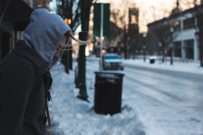
The first wave is targeting the Northern Plains and Upper Midwest, spreading across the Great Lakes and pushing toward the Ohio Valley and Northeast. Nighttime lows may fall into single digits or teens, a sharp early December drop that catches unprepared travelers and households off guard. You will want to factor wind chills that cut lower, especially before sunrise.
High-impact corridors include lake-effect belts, snow-prone interior valleys, and wind-tunneled plains. Major metros from Chicago to Detroit, Cleveland, Pittsburgh, Philadelphia, and Boston could encounter slick commutes as fronts pass and temperatures crash. Rural areas face longer stretches of dangerous cold, frozen pipes, and tougher emergency response times.
Schools and workplaces should plan for flexible schedules during peak cold and potential snow or ice. If you rely on public transit or long highway drives, check for delays and black ice risks after dark. Vulnerable groups, including outdoor workers, the elderly, and unhoused neighbors, need fast access to warm spaces and supplies. Preparation now reduces last-minute scrambles when the second and third waves strike.
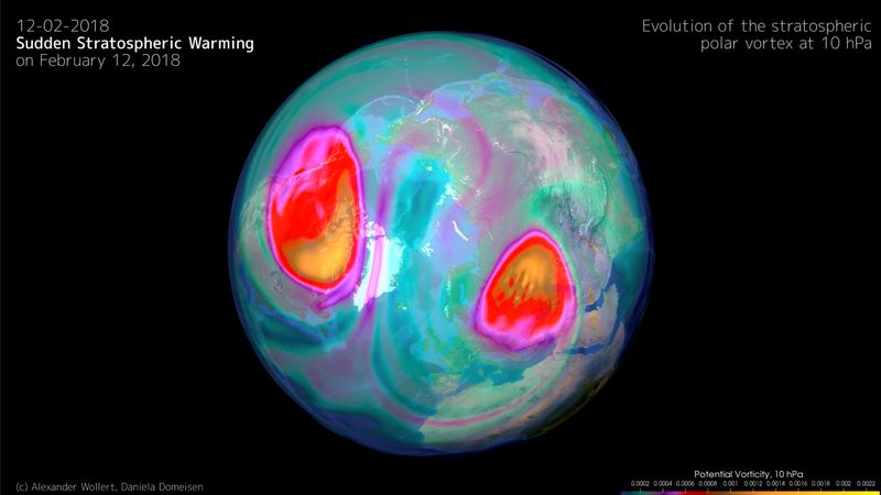
Why It’s Happening: Polar Vortex Weakening and Atmospheric Setup
Meteorologists cite a weakened or displaced polar vortex as the spark, allowing Arctic reservoirs to spill south in pulses. When the upper-level circulation elongates, lobes of cold detach and ride a wavy jet stream into mid-latitudes. You feel it as sudden flips from seasonal chill to bone-deep cold, then another reinforcing plunge.
Often, this setup links to stratospheric disturbances and broader ocean-atmosphere patterns. A weak to moderate La Nina can favor a more amplified jet stream, boosting storm tracks and cold delivery. None of this guarantees snow for your backyard, but it increases the odds of volatility, sharp temperature gradients, and quick-hitting squalls.
Think of it as a door left ajar between the Arctic and the U.S., swinging open with each surge. The background state this season supports repeated intrusions rather than a one-off event. Forecast confidence grows for continued cold risks into mid-December, with local impacts tied to moisture timing and lake enhancement. Stay adaptive, because small shifts aloft can pivot the cold core and change snow targets overnight.
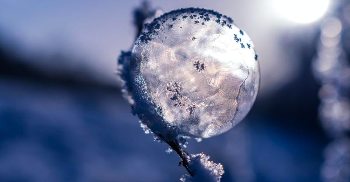
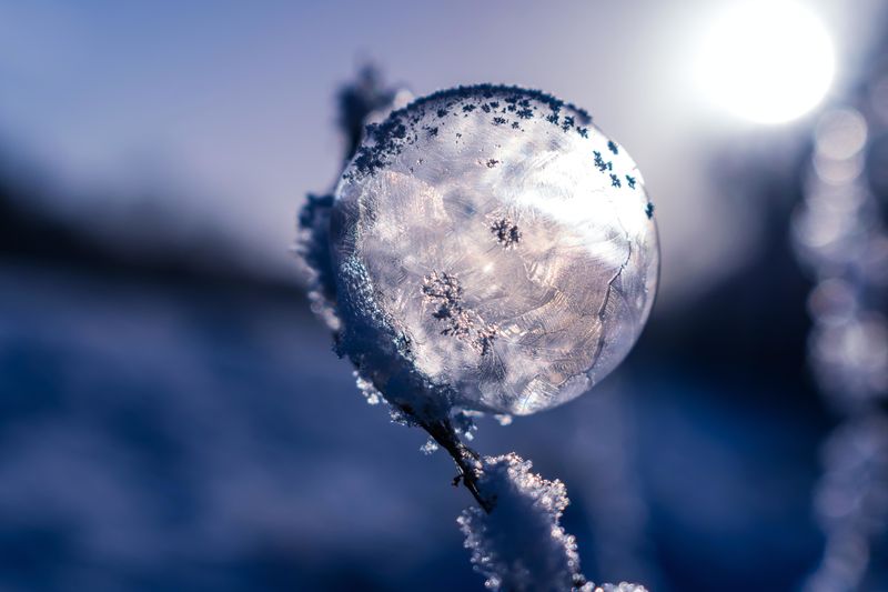
What Weather to Expect: Cold, Snow, Ice and Disruption
Each blast brings frigid air, gusty winds, and variable precipitation. Where moisture meets the cold, expect flurries, squalls, or accumulating snow, especially downwind of the Great Lakes and along frontal boundaries. Even dry days carry hazards: wind chills that sting, black ice, and mechanical strain on vehicles and heating systems.
Travel disruptions can spike overnight when temperatures plunge and refreeze wet roads. Plan extra time, check road conditions, and keep a winter kit in your car with blankets, batteries, snacks, and traction aids. At home, seal drafts, change furnace filters, and drip faucets to reduce frozen pipe risk.
Power demand often surges during these events, so charge devices and prepare for brief outages. If you commute early, watch for invisible glaze on bridges and ramps where cold pools fastest. Schools and businesses may pivot to delayed openings during the harshest mornings. Staying weather-aware pays off because squalls can drop visibility to near zero within minutes, then clear just as quickly as the band slides away.
What This Means and How to Prepare
This is more than a quick chill. If the three-wave pattern verifies, below-normal temperatures and intermittent winter weather may persist for weeks, straining infrastructure, energy, and public services. Even as climate change raises averages, disruptive cold still happens when circulation favors Arctic intrusions.
Practical steps help you stay comfortable and safe. Test heating systems, stock fuel, replace filters, and check carbon monoxide alarms. Insulate exposed pipes, set a slow drip during the coldest nights, and know how to shut off water if a line bursts. Keep an emergency kit: warm layers, medications, lights, batteries, and shelf-stable food.
Plan travel conservatively and monitor reliable local forecasts and alerts. Utilities should anticipate demand spikes, while schools and employers prepare flexible schedules. Check on elderly neighbors and anyone without steady heat. Treat this as a timely wake-up: the early winter of 2025 to 2026 could run colder and longer than expected, so readiness now will pay dividends all season.


