Feeling whiplash from the weather lately? You are not imagining it. A quick burst of milder air is about to sweep across much of the U.S., only to be followed by another sharp cool-down. Stay tuned, because this temperature rollercoaster could reshape snow cover, travel plans, and your day-to-day routine in a hurry.
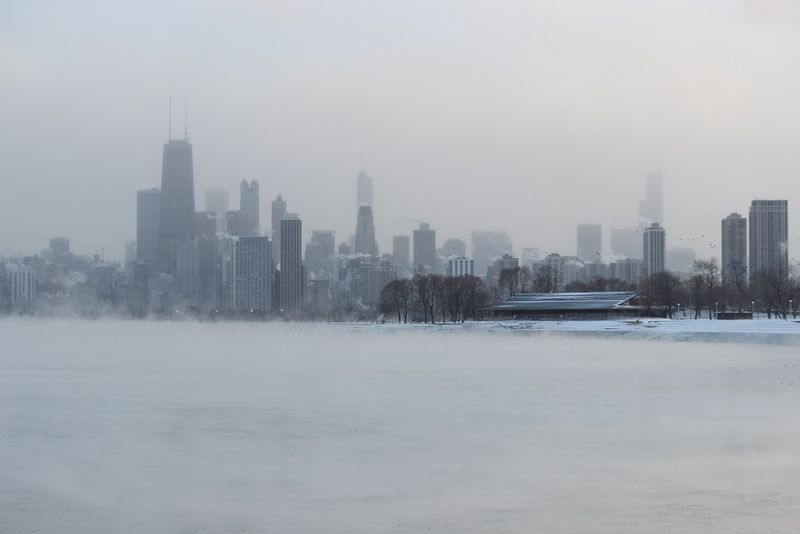
After a bitter Arctic blast earlier this month, a much-needed thaw is set to arrive for millions. Forecasts call for a quick warm surge sliding into the Midwest and Ohio Valley, nudging highs into the 40s and 50s by midweek. You will feel the difference fast, especially where subfreezing days have stacked up.
Meteorologists at Fox Weather point to a jet stream shift that opens the door for milder air to surge north. This brief pattern flip will lift temperatures above seasonal norms in several regions ahead of Christmas. Expect a noticeable contrast, from frosted mornings to comparatively soft afternoons.
Do not mistake the warm-up for winter’s surrender. A cold front is already queued up behind the mild push, ready to sweep through late week. Many places will tumble back into the 20s, reintroducing wintry chill and reinforcing the rollercoaster feel.
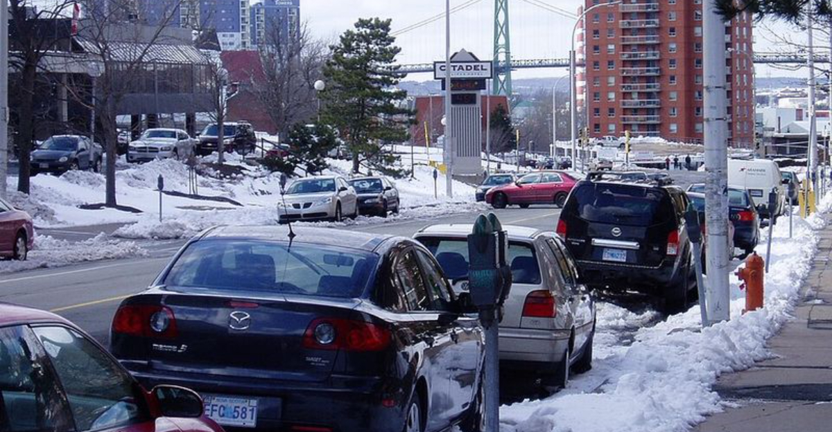
The quick swing has practical effects you will see on the ground. Snowpack will slump, creating slushy streets, soggy yards, and patchy ice after sundown. Travel plans may benefit for a day, then meet fresh complications as temperatures swing.
Forecasters emphasize staying flexible as conditions change by the hour. Watch for melting followed by refreeze, and keep an eye on local advisories. This warm phase is a pit stop, not a destination, and the next cold shot is not far behind.
The temperature rollercoaster this week traces back to the jet stream, that fast river of air aloft steering storms and air masses. When it dips into a trough, Arctic air plunges south. When it flexes into a ridge, warmer air surges north and gives you a breather.
Right now, guidance shows a weakening trough giving way to a brief ridge migrating east. As that ridge builds, highs rebound across interior states for a couple of days. You will notice this especially in the Midwest and Ohio Valley with 40s and 50s spreading in.
These oscillations are classic late autumn into early winter behavior. The jet becomes highly amplified, allowing dramatic north-south swings in air masses. Cold snaps and warm breaks trade places quickly, making short-term planning a bit tricky.
Fox Weather outlooks highlight the Southeast staying relatively mild while cold reloads to the north. Meanwhile, parts of the West and northern Plains ride their own variability, toggling between record-challenging warmth and fresh shots of chill. Cities from Denver to Dallas can feel both seasons within days.
Understanding the jet’s push and pull helps you anticipate rapid changes. If you track the next trough and ridge, you can time errands, travel, and layering strategies. The river in the sky is the reason your forecast swings from gloves to light jackets and back again.
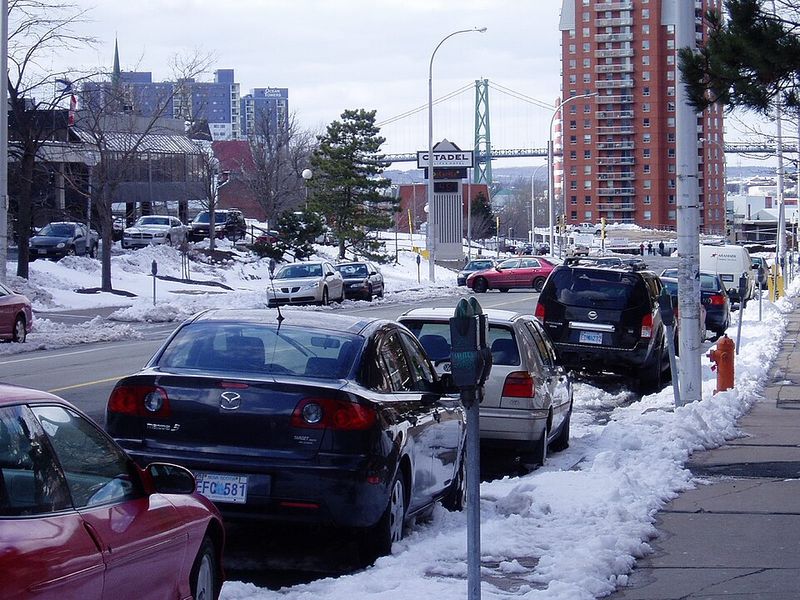
A quick warm spike offers relief, but it also sets up messy transitions. As temperatures climb into the 40s and 50s, lingering snow loosens and melts. You will see slush, puddles, and slick transitions near driveways and shaded sidewalks.
When colder air returns, meltwater can refreeze rapidly overnight. That means black ice on bridges, untreated side streets, and parking lots at daybreak. Morning commutes can turn dicey even if afternoons felt easy the day before.
In the Upper Midwest and parts of New England, modest warming still bites into snowpack. Treated roads may improve for a time, then slip back as temperatures fall and moisture lingers. Rural routes and hills are especially vulnerable as freeze-thaw cycles repeat.
For travel, timing is everything. Warmer daytime windows may help you move, but the late-week cool-down can reintroduce hazards quickly. Check updated forecasts and allow extra time as conditions pivot.
Runoff can nudge smaller streams higher without major flooding. Edges of rivers may refreeze unevenly, creating ice hazards near banks and culverts. Keep a winter kit in your car, top off washer fluid, and watch for falling temperatures after sunset.
Looking toward Christmas week, longer-range outlooks lean warmer than average across a big slice of the Lower 48. You may feel this as more frequent jacket weather than heavy parka days. Still, occasional cool shots can sneak in when the jet pivots.
Above-average does not mean record heat or universal melting. It does suggest lower White Christmas odds outside traditional snow belts. Northern Minnesota, interior New England, and higher terrain keep the best chances for holiday snow on the ground.
The pattern is not uniform, and timing matters. The northern Plains and high Rockies can still catch snow if a surge of Arctic air pairs with a passing storm. If that alignment hits, travel plans could shift quickly again.
Seasonal drivers like La Niña can tilt storm tracks and amplify the rollercoaster. That means alternating warm intervals and quick reloads of chill through the holiday stretch. You will want to refresh your forecast every day or two.
Overall, expect a noticeable break from persistent deep cold, sprinkled with unseasonably mild afternoons. Keep winter gear handy because the next Arctic punch can return fast. Flexibility is your best gift for navigating this active season.


