
This Christmas brings a coast-to-coast weather split that could make your travel plans feel like a coin toss. Some regions will unwrap sunshine and sweater-weather warmth, while others juggle cold, wind, and unsettled skies. The jet stream is the big mover, shuffling storm energy and locking chill in select zones as Pacific systems roll into the West. If you are headed out, this outlook will help you prepare and avoid surprises.
Christmas Weather Will Be a Mixed Bag Across the United States
This Christmas sets up a classic nice versus naughty pattern across the United States, and you can feel it in the split forecast. Warmer, gentler conditions stretch over the central and eastern states, keeping snow chances limited for many big cities. Meanwhile, the jet stream dips and lifts, steering patchy cold into the northern tier and guiding storms toward the West.
Travel looks broadly manageable, especially across the South, Mid-Atlantic, and much of the Midwest, where roads should stay mainly wet rather than icy. Still, pockets of rain, light snow, or gusty winds could nudge plans off schedule and slow airport queues. Expect local surprises near mountains, lakes, and coastal headlands.
Out West, Pacific systems keep skies unsettled, with mountain snow building in favored corridors and rain at lower elevations. The northern Plains and interior Northeast hold onto the chill, with flurries or crusty old snow lingering where temperatures cooperate. Day to day, expect quick changes, and keep an eye on local alerts for timing and impacts.
Overall, this is a variable Christmas, shaped by shifting jet energy rather than deep, stubborn Arctic cold. Think flexible schedules, layered clothing, and route checks, not full-on blizzards.
Mild and Calm Conditions for Many Regions
If your plans take you across the South, Southeast, or parts of the Midwest, you are in luck with a place on the nice list. Temperatures lean mild, often in the 40s and 50s, with some warmer spots where sunshine breaks through. Wind stays tame for most, and precipitation trends minimal, favoring easy drives and quick errands.
In the Mid-Atlantic and portions of the Northeast, readings hover above freezing, a key buffer against black ice and slick sidewalks. Cloud decks may linger, but widespread snow or freezing rain is not expected for major hubs. That keeps airport delays more about volume than weather.
Do not assume completely dry streets everywhere, because patchy drizzle or light showers can still pop up. Surfaces could be damp at times, especially early mornings or near coastal influences. Even so, impacts look limited and short-lived.
Use the mild window to wrap last-minute shopping, visit family, or sneak an outdoor stroll between meals. Keep a light jacket handy and watch for brief showers on radar apps. Overall, Christmas cooperates here, offering calmer skies and friendlier roads than earlier December systems delivered.
Cold, Wind and Snow for Select Areas
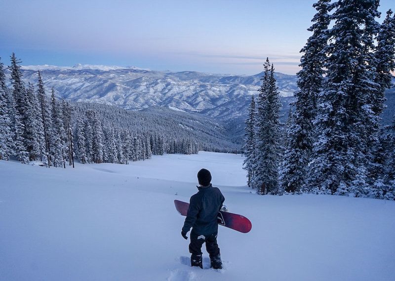
Some regions step onto the naughty list with colder, windier, and sometimes snowy conditions. The northern Plains, upper Midwest, and interior Northeast keep a firmer grip on chill, preserving crusty snow or spinning up occasional flurries. You will feel that bite stepping out early or after sunset.
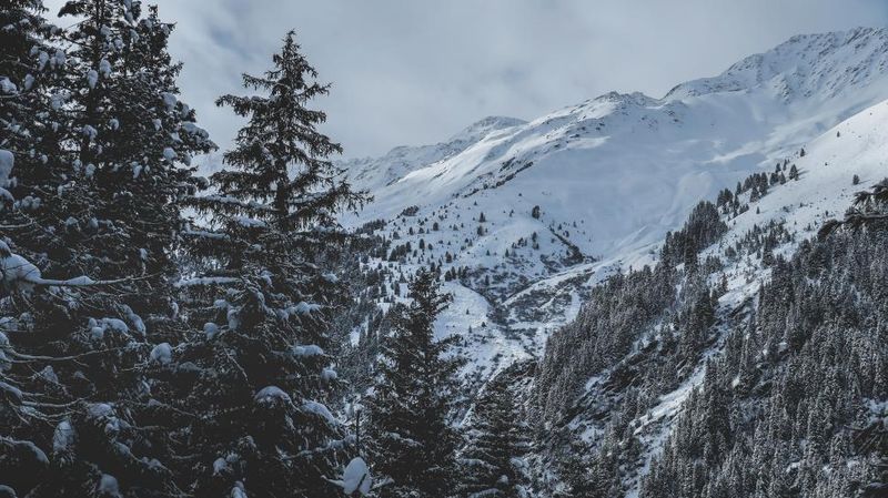
Out West, incoming Pacific systems stir the pot, sending rain to lower elevations and snow to mountains and high passes. Ski areas benefit, but travel over summits could turn slow, slick, and visibility challenged. Timing matters, so check pass reports and chain requirements before you go.
Gusty winds may tag along with these disturbances, particularly across central and western states. Even without heavy precipitation, crosswinds on open stretches can jostle high-profile vehicles and nudge power lines. Expect spotty outages where trees are exposed.
While these conditions are not broadly extreme, they can complicate local holiday plans. Build buffer time into routes, pack winter essentials, and favor daytime travel if possible. Keep snow brushes, traction aids, and a charged phone within reach. The right prep turns a rough forecast into a manageable trip.
What the Christmas Forecast Says About the Rest of Winter

This year’s holiday setup hints at a winter that refuses to pick a single lane. Instead of entrenched Arctic cold, the jet stream flexes and meanders, letting milder air surge north before retreating again. You will likely notice quick shifts rather than marathon chills.
That wobble cuts down on classic White Christmas scenes for many, but it boosts the odds of rapid pattern changes afterward. Forecast confidence drops after the holiday as colder air pools and stronger waves eye the West and northern tier. Bigger systems can spin up quickly when ingredients finally align.
Long-range guidance suggests winter still has plenty to say into January. Snow chances may expand as colder shots become more frequent and better timed with moisture. Expect bursts of wind energy and sharper fronts.
For now, take advantage of the cooperative stretch, then stay nimble. Set alerts on your favorite weather app, and check local forecasts two to three times a day when planning travel. Flexible plans and layered gear will serve you well as new signals emerge after Christmas.


