Stand on the flat, sandy edge of Eastern North Carolina and you are standing atop a drowned past. Ancient shorelines ripple across farm fields, pine savannas, and blackwater creeks, whispering of a vanished sea. If you have ever picked up a shark tooth far from today’s surf, you have touched that story. Come trace the clues across the Coastal Plain and see how the land itself reveals a long lost ocean.
Fossil Fields of Aurora
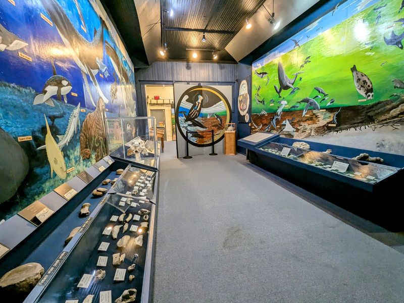
Wander the mine tailings at Aurora and ancient seas spill from your hands. Shark teeth, ray plates, and shell fragments gleam in the sun as if the tide just fell back. You feel time compress when a megalodon tooth surfaces from gray marl, sharp as memory and heavy with myth.
The nearby museum ties your finds to Miocene and Pliocene shorelines that once washed these sediments. Stratified layers read like tide charts frozen in clay. Every scoop is a page from an ocean diary, proof the Coastal Plain cradled warm, teeming waters long before modern waves.
Megalodon Ledges of Onslow Bay
Charter a boat from Sneads Ferry and drop over limestone ledges where fossil beds spill down the continental shelf. Divers hover among ancient shell hash and embedded teeth, each ledge a balcony on an old shoreline. Even if you stay topside, knowing what rests below changes how the water looks.
Those ledges are cemented remnants of marine life, uplifted and trimmed by shifting seas. They chart sea level pulses that once flooded the Coastal Plain. In their geometry you can trace retreating surf lines, like footsteps in stone. The ocean that left them never truly went away.
Frying Pan Shoals and the Drowned Dune Field

Southeast of Bald Head Island, Frying Pan Shoals stretches like a sandy comet into the Atlantic. Beneath the breakers lies a drowned dune field, relic ridges shaped by wind when sea levels swung. You can feel the ghost coastline in the way waves trip and fold over shallow bars.
Mariners dread it, but geologists read it as a map of former beaches. Each ridge is a paused moment in coastal migration. When storms rake the area, they unveil shells and bones from older seas, reminding you this shifting edge is both boundary and breadcrumb trail to the past.
The Suffolk Scarp Near Greenville

Drive inland from Washington toward Greenville and the land subtly rises along a sandy escarpment. This is the Suffolk Scarp, an old shoreline etched across fields and loblolly pine. You can stand on its shoulder and imagine waves lapping somewhere below your feet, long before towns stitched the plain.
Road cuts reveal leached sands above clayey beds, echoing surf zone processes. The scarp’s graceful arc marks Pleistocene highstands, a contour line for vanished coasts. Follow it and you follow a paleobeach, dry now but resonant with marine stories. The hill is low, but its timeline is towering.
Tar River Shell Beds at Rocky Mount
At low water along the Tar, riverbanks unveil compacted shell beds that crunch underfoot. Oysters and scallops appear inland, far from today’s brine, telling you the shoreline once lived here. You notice how the shells tilt, stacked like wind blown cards, hinting at ancient currents running the other way.
These pockets are time capsules, preserved as the river sliced down through marine sediments. Each fragment links freshwater flow with saltwater past. Touching them, you bridge river and sea, present and Pliocene. It is quiet proof that Eastern North Carolina is a palimpsest written by retreating tides.
Green Swamp Savanna and Ancient Strandlines
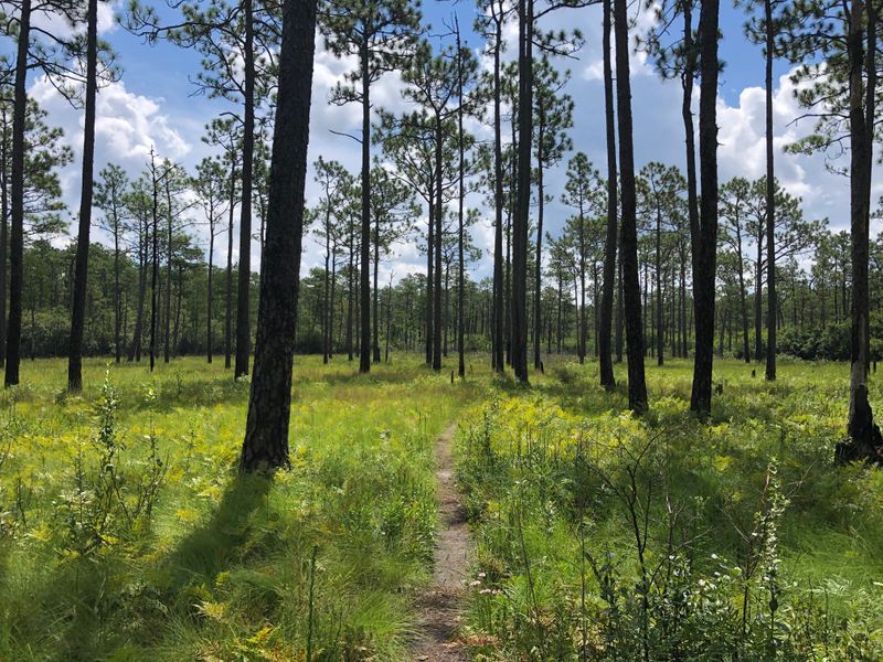
In the Green Swamp, longleaf pine and wiregrass ripple across sandy flats with quiet, coastal grace. Subtle ridges underfoot are ancient strandlines, beach ridges left by migrating shores. Carnivorous plants sparkle in wet prairies where marine sands still drain fast, making the ecosystem feel part beach, part bog.
Walk the boardwalk and watch how elevation changes by inches shift entire plant communities. Those sandy cords mark the tempo of sea level rise and fall. You are reading ocean pulses through fire kissed savannas, proof that the Coastal Plain’s wild heart beats to maritime history.
Pamlico Sound’s Drowned River Valleys
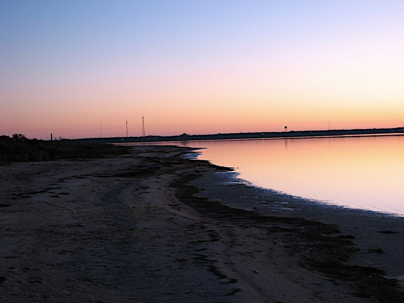
Cross the bridges to the Outer Banks and look west across Pamlico Sound. Beneath that calm expanse lie drowned river valleys, flooded when rising seas overtook the plain. Channels snake under the surface like fingerprints, guiding fish and echoing the ghost courses of inland streams.
Kayak the creeks near Swan Quarter and you will feel the gradient vanish beneath paddles. Fresh and salt blend over peaty bottoms, a living experiment in transgression. The sound is not emptiness but a library of submerged landscapes, reminding you that coastlines are chapters, not borders, in North Carolina’s story.
Belgrade Quarry’s Marine Layers
At Belgrade Quarry near Maysville, limestone benches expose fossils by the bucket. Even from the edge, you can see shell beds stacked like book pages, each horizon a different ocean mood. Guides point out echinoids, coral fragments, and shark teeth that turn your pocket heavy and your imagination buoyant.
Those strata record warm seas lapping over carbonate platforms that once covered this land. When storms tore reefs apart, pieces settled into tidy layers. Today, the quarry is a cross section of a vanished seafloor, letting you hold the proof of Eastern North Carolina’s submerged chapters.
Occoneechee Neck’s Upland Edge
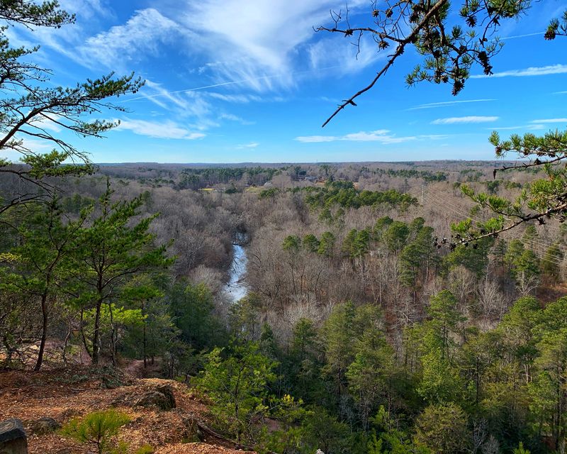
North of Roanoke Rapids, Occoneechee Neck rises just enough to catch your breath. Farmers work sandy soils on a terrace that was once wave washed, the upland a memory of higher seas. Standing there, you can trace a gentle fall toward blackwater creeks, like a beach slope hardening into time.
Artifacts and shell fragments mingle with riverine silt, evidence of people adapting to shifting shores. The landscape teaches patience, showing how coastlines migrate grain by grain. Here, the Coastal Plain’s ancient ocean lingers in texture more than view, but when light hits right, you can almost hear surf.
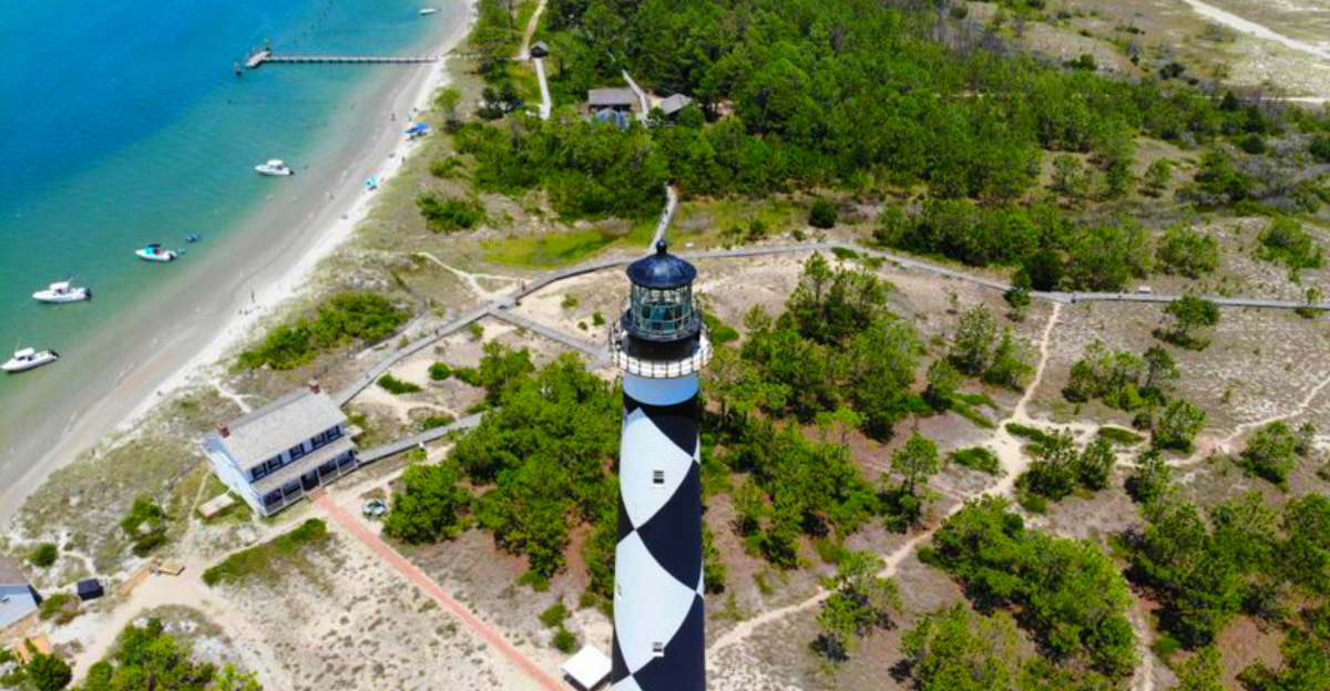
Cape Lookout’s Migrating Barrier Spit
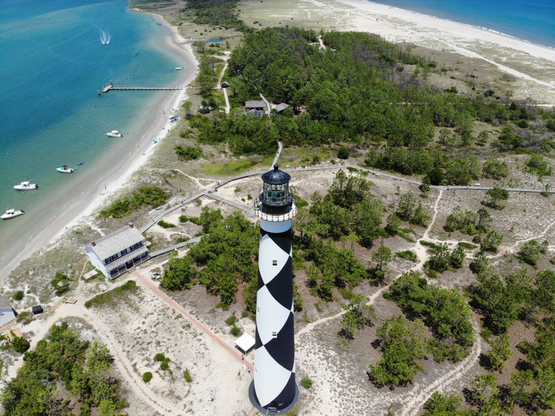
At Cape Lookout, the lighthouse watches a barrier spit that never sits still. Sand is ferried by wind and current, rebuilding beaches that storms rearrange overnight. Walk the bight and you will see overwash fans glittering with shells pulled from older layers, like postcards mailed by a deeper past.
Barrier islands are translators between ocean and continent, recording every sentence of sea level change. Dunes, washovers, and tidal inlets sketch a living seismograph across the sand. Follow those lines and you follow the retreat of an ancient ocean, written fresh each tide on North Carolina’s bright edge.


