Feeling whiplash from winter already? The early January setup is flipping the script, with a warmer and wetter pattern edging in as La Niña briefly loosens its grip. That shift could change how storms track, what they drop, and how you plan your week. Here is what to watch so you can stay ahead of the next pattern change.
La Niña has been steering parts of early winter, but signals now point to a pause that lets a new pattern emerge. You will likely notice the jet stream lifting and wobbling more, opening the door for milder air to reach farther north. This does not erase La Niña from the background, yet it softens the day-to-day imprint you have been feeling.
Typically, La Niña sharpens a stronger northern jet and favors colder intrusions. Forecasters say this January looks less locked into that script, with storm tracks sliding differently and temperatures moderating between fronts. Expect a mix of outcomes that can feel confusing, but it reflects a natural ebb in teleconnection influence.
Cold snaps are still possible, just less persistent, so timing will matter for snow chances. Some systems may tilt rain-first, especially where marginal temperatures meet thicker cloud cover. Plan with flexibility, because the same city could swing from flurries to chilly rain within a few days.
Think of this as a pattern intermission rather than an ending. The background ocean signal remains, waiting for the atmosphere to realign. Until then, variability is the headline and agility is your best strategy.

January is leaning warm for large parts of the country, especially the central and eastern states. You may notice fewer bone-chilling bursts and more days hovering above typical midwinter norms. That can mean lighter jackets at midday, but also more slushy messes when storms arrive.
Areas from the Midwest through the Great Lakes, Ohio Valley, and East Coast are favored for above-normal averages. The South could feel it most at night, with fewer hard freezes and more rain than snow. Even northern zones may ride temperature swings that tilt events toward rain or mixed precipitation.
Warmer does not mean uniformly warm, so do not ditch the heavy coat just yet. Short but sharp cold shots can still dive south between ridges. The difference is persistence, with fewer multi-day Arctic grips draining your energy budget.
This warmth can affect snowpack, ice formation, and heating demand. Expect slick mornings after overnight refreezes, and watch for rain-on-snow runoff in marginal climates. If you rely on snow for work or play, plan backups that fit a milder, more changeable pattern.
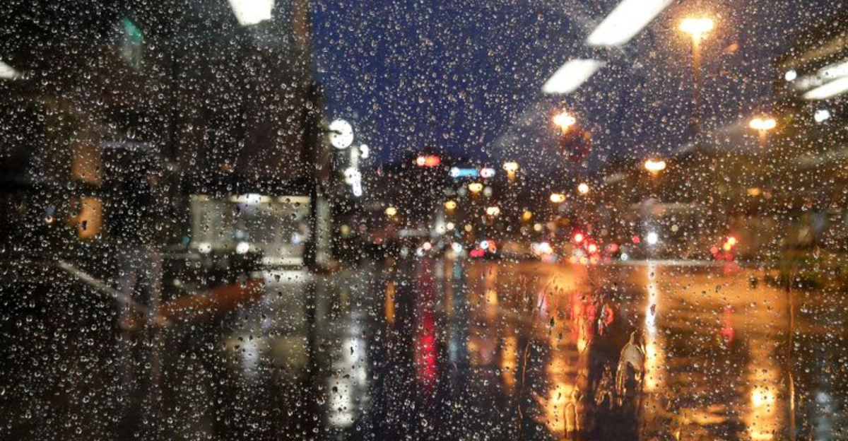
A more active storm track is poised to soak several regions this January. You will likely see frequent rain pulses along the South and Southeast, with the West Coast catching periodic atmospheric river influences. Urban drainage and saturated soils can quickly compound issues.
Where temperatures stay above freezing, heavier rain raises localized flood risk, especially near poor drainage spots. Western slopes may face landslides or debris flows where burn scars and steep terrain overlap with persistent showers. These benefits to reservoirs still arrive with hazards you should respect.
Farther north, fluctuating temperatures increase the chance of freezing rain or sleet. Mixed precipitation often causes more travel disruption than snow, glazing roads and weighing down lines. Plan extra time, and check road sensors or DOT cams before heading out.
Remember that a wet pattern can rival a snowy one for impact. Storm timing around commutes and weekends magnifies disruptions, even with modest totals. Keep a flexible schedule, restock car kits, and enable alerts for rapidly changing watches and warnings.
A warmer, wetter January does not slam the door on winter. La Niña still hums in the background, ready to re-engage if the jet stream couples more strongly. You should think in phases rather than a straight line toward spring.
Pattern interludes often give way to sharp reversals later in the season. February or March can deliver memorable storms when cold reloads and tracks align. Snow lovers should not lose hope, but patience and timing will be everything.
For planning, build flexibility into travel and outdoor events. Energy demand may dip now, then spike if late chills arrive. Municipal crews can use this window to prep salt, clear drains, and stage equipment for a busy shoulder season.
The smart move is to stay weather-aware and nimble. Monitor weekly outlooks and watch for signs of a jet stream realignment. Even brief cold snaps paired with moisture can generate high-impact events that arrive faster than expected.


