A powerful late-week storm is gathering strength, and you can feel the country holding its breath. Forecast models are lighting up with signals for heavy rain, snow, strong winds, and potential severe weather that could touch millions. If plans include travel or outdoor events, this is the moment to pay attention and build in flexibility. Stay with this guide to understand what is likely, what is uncertain, and how to prepare smartly without panic.
Meteorologists are flagging a potent late-week storm that could stretch impacts from the West to the East Coast, and you should keep a close eye on updates. Forecast models highlight heavy rain, mountain snow, strong winds, and localized severe weather as the system taps strong temperature contrasts. The setup favors intensification as it migrates east, aligning with an active winter pattern already priming the ground and rivers.
The storm is expected to emerge over the West, then deepen while moving into the central states, before accelerating toward the Great Lakes and Northeast. That path puts a large footprint at risk for multiple hazards, including travel disruptions, scattered power outages, and infrastructure strain. Areas with saturated ground or sizable snowpack could face compounded issues as runoff and ice interact.
Not every location will get the worst, but the combination of timing and coverage raises the stakes heading into the weekend. You can reduce stress now by reviewing alerts, planning flexible travel windows, and confirming emergency supplies. Think batteries, chargers, prescriptions, and a simple communication plan if power dips. Stay weather aware, because high-impact details often sharpen just a day or two ahead.

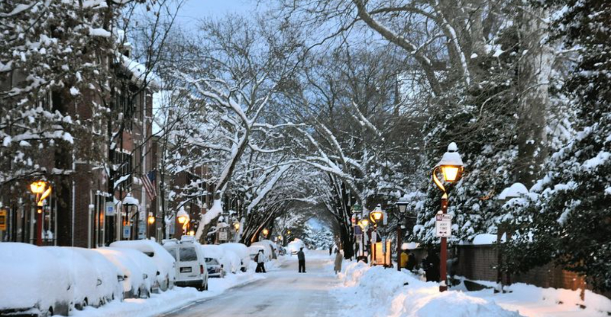
Travel plans could get complicated as the late-week storm spreads rain, snow, and ice across major U.S. corridors. Warmer air to the south favors heavy rain and thunder, while colder air to the north supports accumulating snow and reduced visibility. The messy transition zone in between is where sleet and freezing rain can create the most dangerous road conditions.
If you are driving, consider alternate routes, daytime travel, and slower speeds as visibility and traction deteriorate. Even small amounts of glaze can flip a routine commute into a high risk situation, especially on bridges and untreated secondary roads. Airports along the storm track could see delays or ground stops as deicing operations and low ceilings stack up.
Plan for flexibility by building buffer time and packing winter gear, snacks, water, and chargers. Urban areas may see ponding and localized flooding where storm drains clog, while rural stretches may drift with blowing snow. Check state DOT cameras and airline apps before leaving. If your route crosses the ice zone, consider postponing until conditions improve, because timing the warm-cold boundary often proves trickier than it looks.
Strong, widespread winds are poised to be a defining piece of this storm, and you will feel it even outside the heaviest precipitation. Gradient winds may gust enough to drop limbs, topple weakened trees, and cause scattered outages from the Plains to the East. In colder sectors, blowing and drifting snow can quickly slash visibility and create white knuckle stretches for drivers.
Farther south and southeast, thunderstorms could develop along the advancing front, with a limited severe risk that hinges on moisture return and instability. A few storms may produce damaging gusts or a brief tornado, especially where shear overlaps pockets of warmth. Even non thunderstorm wind could challenge high profile vehicles and construction sites.
Before the leading edge arrives, secure loose outdoor items, park vehicles away from large trees, and charge devices. Keep flashlights handy and enable weather alerts on your phone so you are not caught unaware. If you must drive in windy conditions, grip the wheel firmly and give extra space to trucks. After the front passes, winds can remain elevated, so wait for sustained improvement before tackling tasks on ladders.
As confidence increases, early preparation can save time and reduce stress later. You do not need to overreact, but you should act now while options are open and shelves are stocked. Start with the basics: update your emergency kit, confirm medications, and top off fuel and windshield fluid if you are driving.
Check local forecasts frequently and enable push alerts from trusted sources. If you live in an outage prone area, test generators outdoors, gather extension cords rated for outdoor use, and make a simple communication plan with family. Travelers should review rebooking policies, consider refundable rates, and keep backup routes ready.
Remember that winter storms can evolve faster than expected, and roads can deteriorate quickly once precipitation and wind ramp up. You will handle surprises better if you charge devices fully, print key contacts, and set aside cash for contingencies. After the storm, avoid driving through flooded roadways or near downed wires. Preparation is not panic it is practical insurance that keeps you flexible, safe, and ready to adapt as the forecast sharpens.


