A fast Alberta Clipper is racing from the Canadian Prairies into the northern U.S., shaking up the weather pattern in a hurry. Quick bursts of snow, sharp wind shifts, and a drop in temperatures are lining up from the Upper Midwest to the Great Lakes. What looks modest at first glance may be the catalyst for a much bigger East Coast winter storm later this week.
Keep an eye on timing, because this setup can flip conditions from quiet to hazardous fast.
Fast-Moving Clipper System Ushers in Renewed Winter Threat
Meteorologists are tracking a compact Alberta Clipper sliding out of western Canada and diving across the northern tier. The system carries limited moisture but abundant momentum, delivering quick-hitting snow bands and brisk winds. Fox Weather highlights its speed and the surge of cold air trailing behind the front.
Impacts arrive in waves, with slick roads, reduced visibility, and bursts of snow that can surprise travelers between advisory windows. The Upper Midwest and Great Lakes stand out, especially where lake enhancement boosts totals. Even where snow remains light, temperatures falling rapidly can glaze pavement and create scattered spinouts.
The bigger headline is what follows as the clipper exits the coast and drags colder air south. That fresh chill primes the atmosphere for a more impactful East Coast storm to develop. Timing matters, because lingering cold ensures precipitation type stays wintry for longer stretches.
Residents across northern states are urged to stay alert to quick forecast changes and short-fuse advisories. Snow amounts may be modest, but gusts and flash freezes elevate risk in the evening commute window. Expect road crews to chase refreezing through the night.
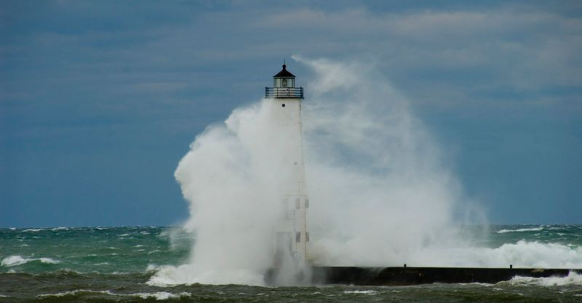
Snow and Gusty Winds Impact the Midwest and Great Lakes
As the clipper sweeps east, light to moderate snow streaks across Minnesota, Wisconsin, and Michigan, then arcs into the interior Northeast. Gusty winds kick up blowing snow, reducing visibility on open stretches and along exposed interstates. Downwind of the lakes, narrow but intense bands can outpace forecasts and coat roads quickly.
Even small totals create problems when combined with subfreezing surfaces and wind-chilled air that prevents melting. Commuters encounter slick bridges and ramps first, with plows chasing bursts that hit in fifteen to thirty minute windows. Airports may see brief deicing delays as squalls pulse over terminals.
Behind the main push, colder air funnels in and lake-effect ramps up on northwest flow. Expect favored snowbelts to tally the highest totals, with whiteouts at times near the shoreline. Rural corridors become particularly treacherous where blowing snow drifts across lanes.
Officials warn that lingering cold overnight can refreeze slush into black ice. The Wednesday morning window looks tricky wherever fresh lake bands linger. Travelers should budget extra time and watch for quick changes beneath persistent cloud streets.
Clipper Sets the Stage for Next East Coast Winter Storm
The departing clipper reinforces a dome of cold across the East, a critical ingredient for the next storm. As the front stalls near the Southeast, a new low organizes over the Appalachians and begins tapping Atlantic moisture. With cold entrenched inland, the stage is set for a broader snow shield to blossom.
Guidance clusters show the original front weakening while a secondary low strengthens and pivots northeast. That handoff can tighten gradients, pulling colder air south and west into the circulation. The result could be a swath of snow and mixed precipitation expanding toward the I-95 corridor.
Track and timing remain the swing factors that decide who gets heavy snow versus slushy mix. A slightly warmer coastal track favors rain along immediate shores, while a tucked path supports widespread accumulations. Confidence improves as the coastal low consolidates Thursday into Friday.
Expect a rapid ramp-up if banding develops on the northwest flank of the low. Commuting windows could be hit hard where mesoscale forcing locks in. Monitor local forecasts for shift-by-shift updates as the transfer from clipper to coastal takes hold.
Why Clippers Matter Despite Modest Snow Totals
Alberta Clippers are small, fast, and often underestimated, but they punch above their weight by reshaping patterns. Each pass can knock temperatures down, reset the boundary layer, and energize lake-effect zones. That reset primes the next storm by supplying the cold air that turns rain into snow.
Their speed compresses preparation windows for crews and travelers. A few tenths of an inch falling at rush hour can cause more disruption than an orderly, slow snowfall. Add gusts and subfreezing pavement, and minor totals translate into big impacts.
Repeated clippers strain salt supplies, elevate energy demand, and stress infrastructure with freeze-thaw fatigue. Bridges and secondary roads become recurring hotspots for spins and fender benders. Meanwhile, visibility swings fast under squalls that drop in and out within minutes.
Fox Weather notes that clippers often act as pattern changers, opening the door to larger coastal storms. In this case, the current clipper tees up cold air for a potentially more impactful East Coast event. Staying mindful of these signals pays dividends as the pattern evolves.
What To Watch Next: Timing, Tracks, and Travel Windows
Attention shifts from the clipper to the coastal handoff between late Wednesday and Thursday. A consolidating low near the Appalachians will gather moisture while a reinforcing high feeds cold air. That overlap often determines where snow bands and a wintry mix set up.
Watch the temperature profile at the surface and aloft, especially near urban corridors from D.C. to Boston. A subtle wobble modifies the rain-snow line, reshaping totals in hours. Stronger coastal development favors heavier snow inland with a sharp gradient toward the shore.
Travel windows look most vulnerable during the Thursday evening and Friday morning commutes if banding locks in. Airports may juggle deicing queues and wind-driven runway changes. Highways face bursts of heavy rates that outpace treatment, followed by refreeze overnight.
Key signals include tightening pressure gradients, a backing wind shift, and deepening coastal convergence. If guidance trends colder, expect more widespread snow along the interior I-95 suburbs. If warmer, coastal rain expands while interior snow still holds.


