A fast-moving Arctic storm is hammering the Midwest with blinding snow squalls, punishing wind, and bone-chilling cold. If you are traveling or planning errands, conditions can shift from calm to dangerous in minutes. Lake-effect snow is already gearing up to dump intense, localized bursts on communities downwind of the Great Lakes.
Stay alert, because what you do in the next few hours could make all the difference for your safety.
Arctic Storm Brings Dangerous Snow Squalls Across the Midwest
A powerful Arctic storm is racing across the Midwest, firing off snow squalls that flip visibility from miles to mere yards in minutes. You might see bare pavement one moment, then a white wall the next. These bands behave like winter thunderstorms, packing intense snowfall, sharp wind gusts, and slick, quickly icing roads.
Snow squalls are notorious for catching drivers off guard, especially during daylight when traffic is heavy. The most dangerous part is the speed of change, because reaction time shrinks just as traction vanishes. If visibility drops, slow down smoothly, avoid sudden braking, and leave far more space than usual.
Temperatures behind the squalls crash, refreezing any slush into hard glaze. That flash freeze can turn routine commutes into high-risk stretches. Officials urge you to delay travel when alerts are issued and to use headlights, even in daylight, to stay visible in blowing snow.
Expect rapid-fire bursts that last only minutes but leave lasting hazards. Pileups can begin with a single missed cue, so scan far ahead and commit early to caution. Keep your hazard lights ready if you stop, and exit highways at the next safe opportunity when conditions deteriorate.
Bitter Cold Follows as Arctic Air Surges South
Once the squalls pass, the real sting arrives as Arctic air surges south. Temperatures tumble well below average, and wind chills make it feel far worse than the thermometer suggests. In parts of the northern Plains and Upper Midwest, exposed skin can risk frostbite in as little as 30 minutes.
Plan your day assuming limited outdoor time. Dress in moisture-wicking base layers, insulating mid layers, and a wind-blocking shell. Cover fingers, ears, and face completely, because heat loss accelerates fast in gusts that cut through thin fabric.
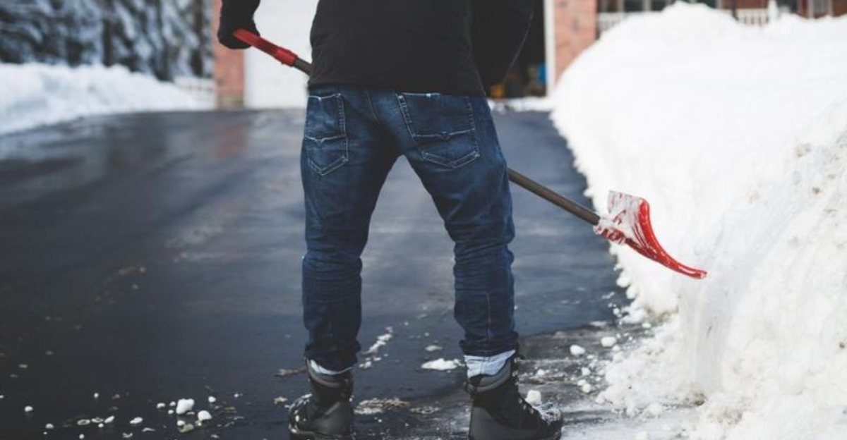
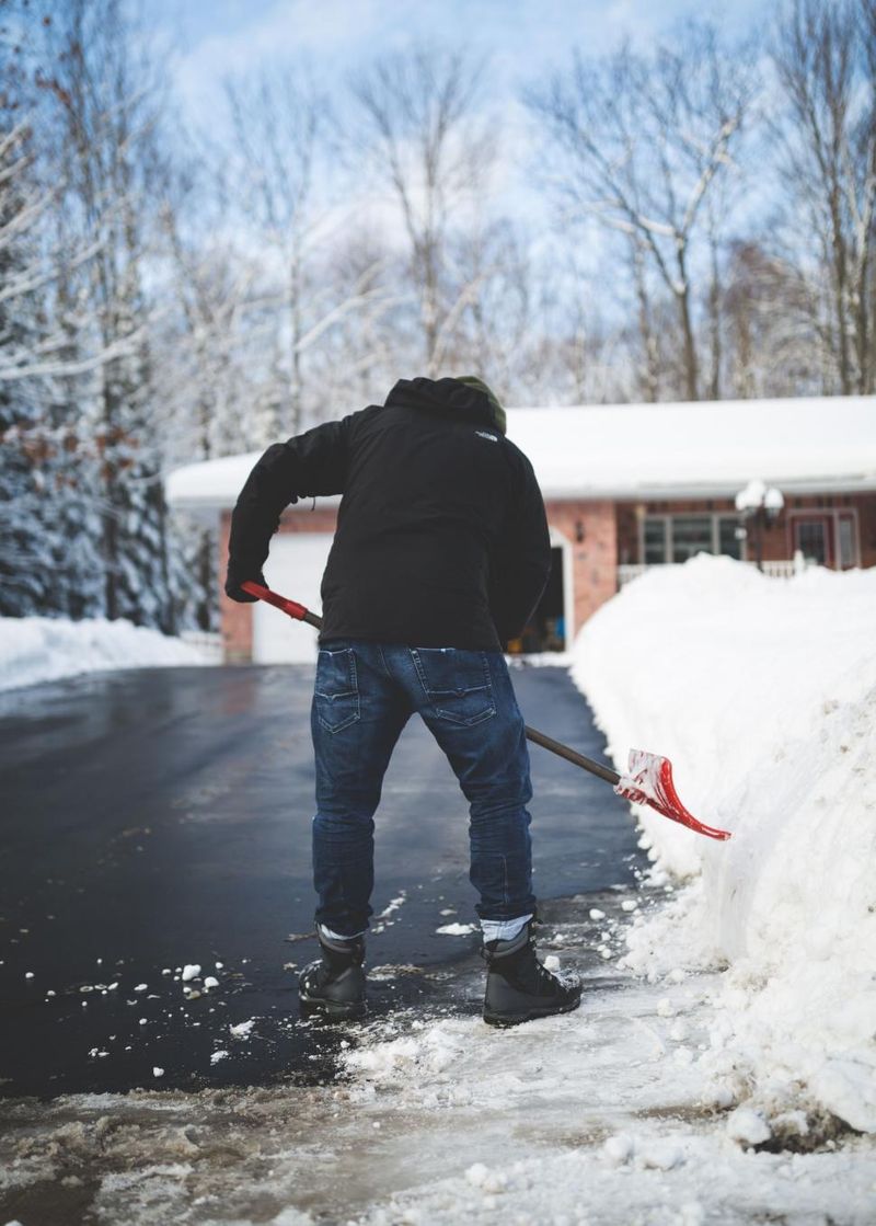
At home, open cabinet doors near exterior pipes, let faucets drip, and keep the thermostat steady overnight to reduce freeze risk. Check on neighbors and secure shelter for pets and livestock. If you must drive, pack blankets, chemical hand warmers, and a charged power bank in case you get stranded.
The cold will linger, preventing snow and ice from melting and extending slick conditions for days. Salt can struggle when readings plunge, so expect stubborn patches on side streets and bridges. Limit alcohol outdoors, hydrate well, and watch for shivering, numbness, or confusion, which are early warning signs you should not ignore.
Lake-Effect Snow Threatens Great Lakes Region
With Arctic air sweeping over warmer lake waters, lake-effect snow ramps up across the Great Lakes. Narrow but intense bands can drop one to two inches per hour, shifting miles at a time while nearby areas stay relatively calm. The result is dramatic gradients where visibility flips from clear to near zero.
Communities downwind of lakes Erie, Michigan, and Ontario should prepare for extended bursts even after the main storm moves away. Roads can quickly become rutted and drifted as winds funnel snow into lanes. Travel a few exits and conditions may transform from manageable to treacherous, so plan multiple routes.
Lake-effect setups change fast, so local alerts matter more than regional headlines. Enable wireless emergency alerts and check short-term radar frequently. If you see a band forming, postpone nonessential trips and keep an emergency kit handy with water, snacks, a shovel, and traction aids.
Crews often struggle to keep up when snow rates peak, especially overnight. Expect reduced plow effectiveness and sudden, localized whiteouts on open stretches. Give buses and plows wide space, and park off-street where possible to help clearing operations move faster and keep neighborhoods accessible.
Travel Impacts and Safety Concerns Remain High
The combination of squalls, Arctic cold, and lake-effect snow is poised to disrupt highways, airports, and rail lines across the region. Expect rolling closures, speed restrictions, and flight delays that ripple through schedules. If you can postpone nonessential travel, you will reduce personal risk and ease pressure on responders.
When you must drive, slow down early, increase following distance, and avoid cruise control on icy surfaces. Keep a kit with blankets, food, water, a flashlight, traction mats, and a scraper. Top off fuel, charge your phone, and share your route so help can find you if plans change.
Remember, winter hazards do not end when flakes stop falling. Blowing snow can hide ice and drift across lanes for days, especially with persistent winds. Black ice lingers on bridges, ramps, and untreated side roads, demanding patient, deliberate steering.
Stay connected to local advisories, DOT cameras, and airline apps for timely updates. If stranded, remain with your vehicle, run heat periodically, and crack a window to prevent carbon monoxide buildup. Preparation and awareness transform a dangerous trip into a manageable delay, protecting you and those around you.


