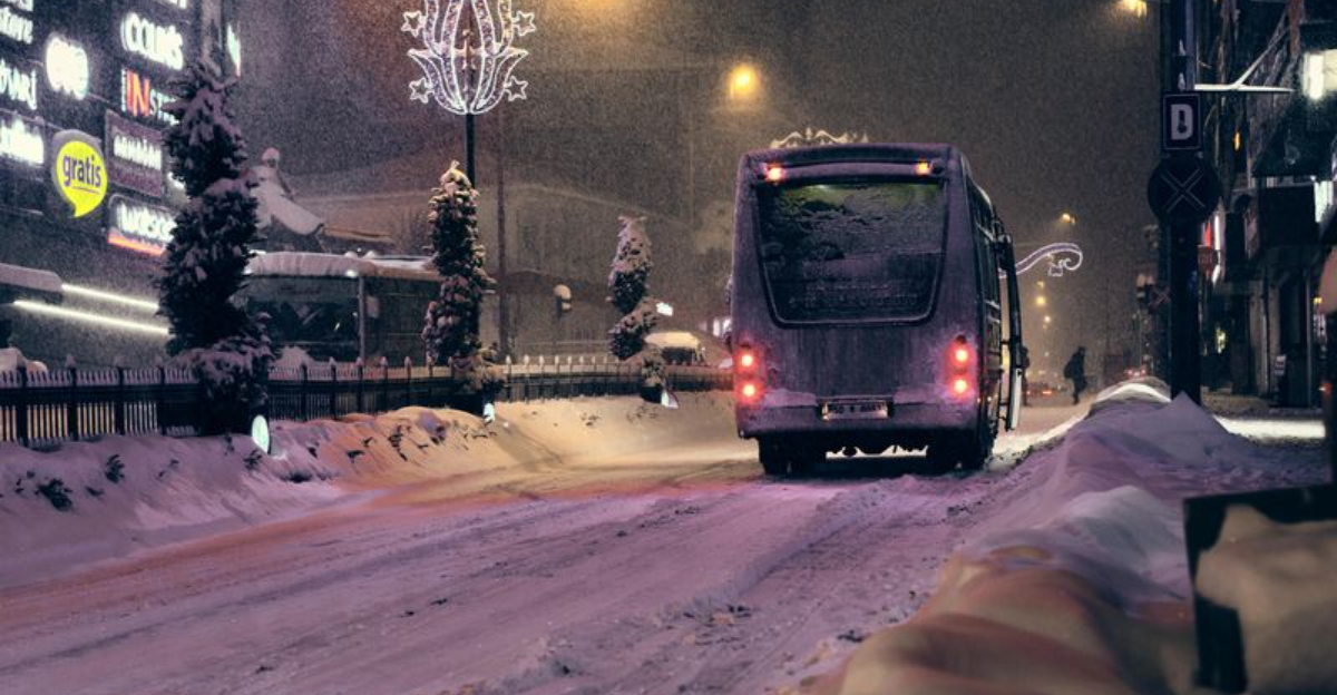
A powerful holiday weekend storm is lining up to drench the I-95 corridor while spreading snow across interior Northeast cities. If you have travel plans, this system could rewrite your itinerary with fast-changing conditions from rain to snow. The good news is that much-needed moisture may ease ongoing drought concerns along the busy corridor.
Stay alert, because small temperature shifts could make a big difference right where you live.
A holiday weekend storm is set to track along the I-95 corridor from Washington D.C. to Boston, delivering a soaking rain to coastal and southern zones. This moisture could ease drought signals that have been building through recent dry weeks, reducing brush fire risk and improving topsoil. You will want to watch the hour-by-hour temperature profile because a subtle shift can swing outcomes fast.
Fox Weather guidance points to widespread rain at lower elevations near the coast, while inland suburbs teeter near a rain-snow threshold. Even moderate rainfall can tamp down fine fuels and help recharge urban soils, though long-term deficits will linger. Expect ponding on highways, hydroplaning risk, and slower commutes where bands of heavier rain set up.
Timing around the holiday complicates travel, especially when precipitation flips type near the northern and western suburbs. Officials urge you to check updates frequently, as mesoscale temperature nudges could sharply change impacts. One storm will not end a drought, but it can meaningfully help in the short term.
While rain hugs the coast, colder air north and west of the storm track favors snow for interior Pennsylvania, upstate New York, and parts of interior New England. Elevation will matter, with hills and mountains picking up accumulations sooner than valleys. Expect a sharp rain-to-snow transition that can surprise you within a few miles.
Roads may turn slick during the overnight and early morning window as temperatures dip and snowfall rates pulse under deformation bands. Visibility can crash quickly under heavier bursts, creating white-knuckle stretches even if totals are modest. Crews will pretreat, but a quick squall can outpace treatments on secondary roads.
Forecast confidence drops near the transition zone, where sleet or a rain-snow mix may dominate for hours. Plan extra travel time and keep watch for rapidly changing pavement conditions, especially on shaded stretches. Even light snow can glaze bridges and ramps once road surfaces cool after precipitation begins.
The incoming storm promises beneficial rainfall for parts of the I-95 corridor that have been running dry, with topsoil moisture poised for a welcome recharge. You could notice greener medians and less dust, and fire danger should ease in the short term. Urban trees and landscaping may respond quickly to a steady soaking.
Still, drought recovery is a marathon, not a sprint, and months of deficits will not vanish with one system. Reservoirs and groundwater react more slowly, so conservation remains smart even after the puddles fade. Brush fire concerns may dip, but they can return if a dry, windy pattern follows.
Officials encourage mindful water use and staying updated on local advisories that track evolving drought indicators. Think of this storm as a down payment on improvement rather than a full payoff. If follow-up systems arrive, the benefits compound and the landscape can truly reset.
Holiday timing raises the stakes as rain along the coast and snow inland threaten roads, rails, and runways. Wet freeways on the I-95 corridor can bring hydroplaning and brake-distance issues, while interior routes face slick snow and slush. Even after precipitation ends, refreezing can create black ice overnight.
Airports from D.C. to Boston may see ground delays if low ceilings, gusts, or wintry mix complicate operations. If you are connecting through interior hubs, expect greater disruption where snow bands linger. Rail lines can also slow under speed restrictions when visibility drops.
Build flexibility into plans, check conditions before departure, and pack winter gear if heading inland. Keep fuel topped off and devices charged in case of longer delays. Impacts could extend into the next day as temperatures dip and residual moisture freezes on untreated surfaces.


