A fast developing winter storm could line up with peak weekend plans across the Northeast, just as millions hit the roads and rails. Forecast models hint at a swath of snow that includes Boston, New York City, and nearby suburbs, but small track shifts still matter. If temperatures dip a few degrees, rain may flip to quick accumulating snow that surprises commuters and travelers.
Stay alert now so you can pivot plans and avoid last minute scrambles.
Weekend Snow Targets Major Northeast Cities
Meteorologists are tracking a compact coastal system that could deliver accumulating snow to major Northeast cities. You might see flakes in Boston and New York City as moisture rides north over entrenched cold air. With dense populations and busy corridors, even a few inches could ripple through plans fast.
Expect coastal areas to flirt with rain first before temperatures cool enough for snow. Inland zones have a better shot at snow from the start, but tiny temperature nudges can flip outcomes. A subtle jog in storm track could push heavier bands over one metro while sparing another.
Timing is crucial if snow overlaps peak weekend travel. Roads can turn slick quickly, and untreated surfaces will glaze over. Watch for winter weather alerts that may arrive with little notice.
Plan flexible schedules, charge devices, and keep an eye on real time radar. If the rain to snow line slides over your block, commutes and events could slow dramatically. A cautious approach now could save you hours later.
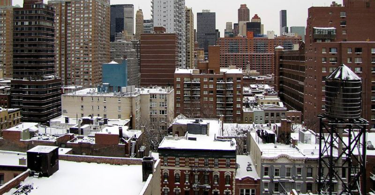
New York City Could See First Widespread Snow of the Season
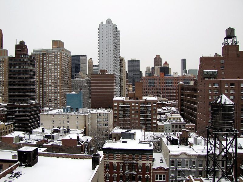
New York City sits on a tight temperature edge where cold air may be just strong enough for accumulating snow. If readings cool a touch faster than expected, you could wake to a coating that grows during the morning. Marginal setups often mix precipitation, but the window for all snow is real.
Bridges, overpasses, and untreated streets will be first to turn slick. Even two or three inches can jam traffic, slow buses, and cascade into rail delays. Airports may struggle with de icing queues if bursts of snow reduce visibility.
City agencies are ready to monitor and deploy salt if needed. You can help by planning ahead, allowing extra travel time, and avoiding sudden lane changes. If snow develops overnight, sidewalks and stoops may glaze before sunrise.
Check neighborhood forecasts, not just citywide headlines, because bands can be hyper local. Keep boots, gloves, and a scraper by the door so your morning goes smoother. A small shift tonight could be the difference between wet roads and a slippery commute.
Boston and Interior New England Face Higher Snow Potential
Colder air is better established across Boston and interior New England, boosting odds for efficient accumulation. If you are away from the immediate coast, snow could start and stay all day. Higher elevations may stack up totals faster, especially under persistent bands.
Travel hazards rise where rates increase, cutting visibility and covering roads quickly. Winds may enhance blowing snow in exposed spots, complicating plow operations. Even moderate totals can cause persistent slickness if temperatures remain below freezing.
Weekend activities could overlap with the steadiest snow, so consider shifting errands earlier. Watch for sudden whiteouts as bands pivot, particularly on hills and secondary roads. Keep headlights on and increase following distance to buy reaction time.
Stay current with local alerts, school notices, and town plow maps. Cold ground may limit melting and refreeze overnight, extending impacts into next week. Prep now with ice melt, shovels, and charged batteries to keep disruptions brief.
Travel Disruptions Possible Along the I-95 Corridor
The storm’s proximity to I-95 raises the risk of travel snarls between Washington, D.C., New York City, and Boston. A rain to snow transition could slow traffic and trigger chain reaction delays. When runways slick up, de icing queues grow and flights stack on the board.
Rail service often reduces speeds when tracks turn slick, and platforms can become icy. Drivers heading north or inland should expect changing conditions mile by mile. Even if roads start wet, temperatures can slip and flash freeze ramps.
Check your route before departure and build in buffer time. Flexible plans help you pivot if closures, metering, or delays appear. Gas up, top washer fluid, and pack a small kit with warm layers.
Meteorologists warn impacts may linger after the snow ends as refreezing grips untreated spots. Overnight lows favor black ice on bridges and shaded streets. Keep alerts enabled so you can reroute quickly and arrive safe.


