A powerful winter storm may be gearing up to sweep from Texas to the Southeast coast late this week. Cold Arctic air and a developing low could team up to bring snow, sleet, and freezing rain to places that rarely see it.
You will want to follow updates closely because small track shifts can mean big differences for your town. Stay prepared now so you are not scrambling when alerts start flying.
Potential Major Winter Storm Brewing From Texas to Southeast Coast
Meteorologists are tracking a volatile setup that could deliver disruptive winter weather from Texas through the Southeast coast. A surge of Arctic air is diving south, priming the atmosphere for snow, sleet, and freezing rain as Gulf moisture wraps into a developing low.
You can feel the tension in the guidance as models wrestle with the exact storm track.
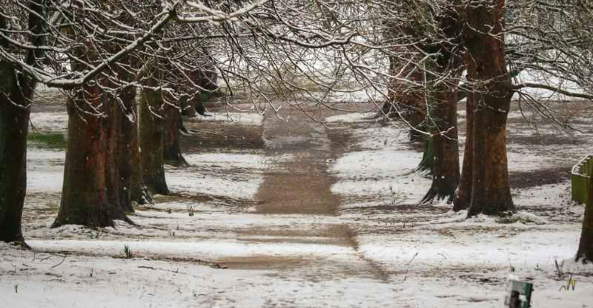
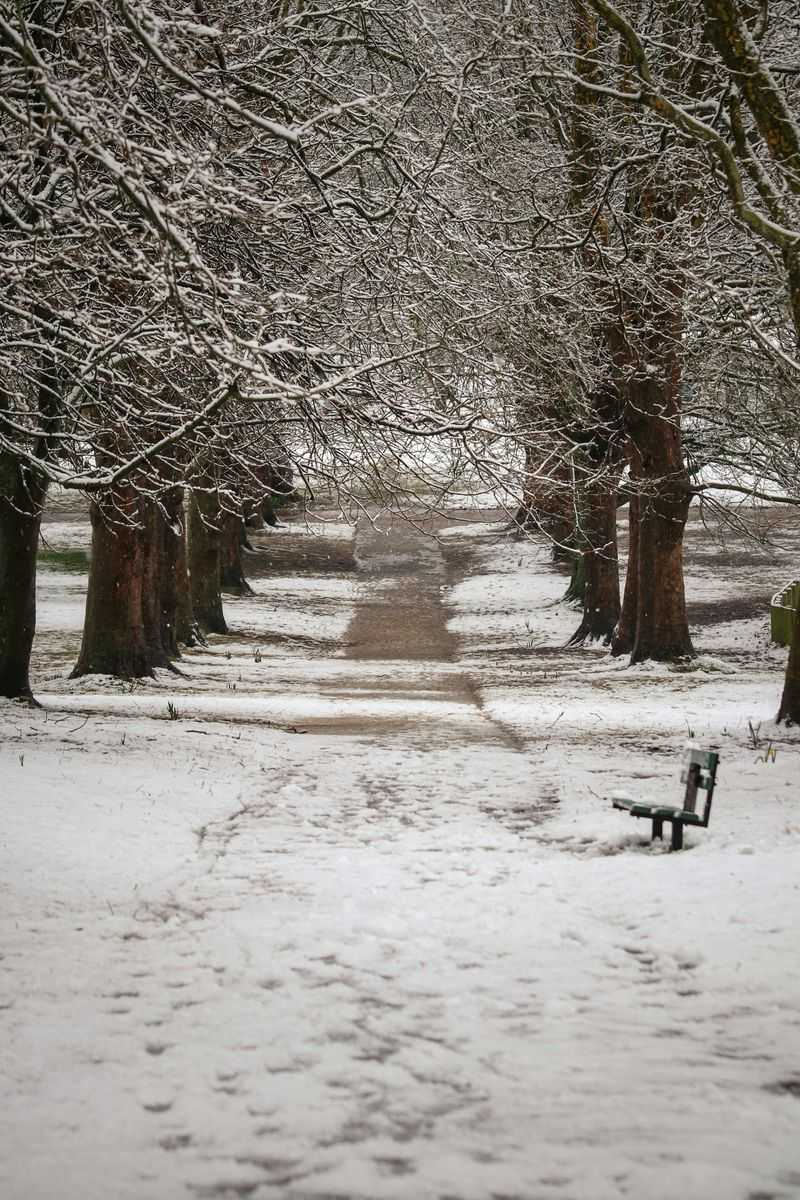
Recent rare snow reports in Florida, Alabama, and Georgia hint that the pattern supports another southern winter event. If the low rides the Gulf Coast and then turns up the Southeast coast, inland zones may see snow while the warm cold boundary favors ice.
The Fox Forecast Center points to a growing signal, though details remain crucially sensitive.
Confidence in overall development is rising, but where the wintry mix lands will depend on timing and temperature profiles within a shallow Arctic dome. Even a one county shift could change sleet to heavy, wet snow or glaze.
Stay tuned for advisories and be ready to adjust plans quickly as models converge.
Texas at the Forefront of Emerging Winter Threat
Texas looks poised to be first in line if this storm organizes, with cold air pressing south by Friday into the weekend. Northern and central Texas could face snow, sleet, or freezing rain as moisture overruns the advancing Arctic front.
You will want to monitor temperatures near the surface because shallow cold layers often make the difference.
Forecast chatter highlights highs tumbling into the 30s and lows near freezing, a classic setup for wintry mischief. Central Texas and the Dallas Fort Worth area are vulnerable to quick disruptions if ice accretes on bridges and overpasses.
Even modest accumulations can produce slick spots and stalled traffic during peak hours.
Infrastructure in many Texas communities is not built for prolonged winter hazards, with limited pretreatment resources and plow availability. Power lines and tree limbs may struggle under ice loads if freezing rain dominates.
Have a plan for alternate routes, charge devices early, and keep salt or sand handy for steps and driveways.
Southeast Faces Rare Winter Weather Concerns
As the low shifts east, Gulf moisture will collide with entrenched cold, bringing snow inland and an ice threat near the transition zone. Louisiana, Mississippi, Alabama, Georgia, and the Carolinas are all in play, with sharper gradients dictating who gets flakes versus glaze.
You should expect quick changes over short distances.
Past analogs show that northern Florida and southeast Georgia can flirt with freezing rain when shallow cold undercuts milder air aloft. Light snow or a thin glaze can still trigger major travel problems given limited snow response resources.
Power interruptions become more likely if ice coats lines and tree canopies.
Plan now for backups in case roads close or flights delay. Keep flashlights, batteries, and layered clothing ready, and protect pipes where temperatures dive.
Watch for winter weather advisories, especially near the warm cold boundary, and be prepared to pivot as the track sharpens.
Travel Disruptions and Community Preparedness Urged
Late week timing raises travel concerns across the South and Southeast as airports, highways, and rails intersect with potential snow and ice. Hubs like Houston, Dallas, Atlanta, and Charlotte could see delays if runways glaze or deicing operations slow turnarounds.
You might need flexible tickets and backup routes.
Road crews can be stretched thin where winter gear is limited, magnifying problems on bridges and shaded segments. Utility providers will stage crews for ice related outages, prioritizing critical corridors and hospitals.
Keep gas tanks at least half full and pack snacks, water, and a blanket for longer drives.
Preparedness starts with checking local forecasts twice daily and enabling alerts on your phone. Refill medications, test flashlights, and secure an emergency kit with chargers and nonperishables.
Confidence in the storm will change as models converge, so adjust plans early to avoid last minute scrambles.


