A rare winter powerhouse is gathering across the South, and the setup looks capable of rewriting local weather history. With Arctic air plunging unusually far south and Gulf moisture streaming in, snow and ice may reach places that almost never see it.
Forecasts are sharpening, but small shifts could mean big swings in who gets heavy snow or dangerous ice. If you live from Texas to the Carolinas and up the East Coast, now is the moment to prepare and stay closely tuned.
Rare, Potentially Historic Winter Storm Brewing From the South to Southeast Coast
A rare winter storm is brewing from the southern US toward the Southeast and East Coast, and the ingredients are aligning in a way that demands your attention. Arctic air is diving south while Gulf moisture surges north, a clash that can transform cold rain into snow and ice.
If you are in an area that rarely sees winter weather, this setup could bring surprises that escalate quickly.
Winter weather alerts already stretch from eastern Texas through the Gulf Coast into the Carolinas, even brushing near the Florida Panhandle. Confidence in the storm is rising, but the exact track and temperature layers remain sensitive.
A wobble of fifty miles or a degree or two can change flurries into slick ice or upgrade drizzle into disruptive snow.
What does that mean for you today? Start checking official forecasts more often than usual and consider flexible travel plans.
If the storm nudges colder, snowfall could appear where salt trucks are scarce and plows are limited.
Hazards go beyond roads, with the potential for power outages if ice loads up trees and lines. Stocking an emergency kit with flashlights, batteries, medications, and backup charging is a smart move.
If you must drive, slow down, increase following distance, and assume bridges and overpasses freeze first.
As this system intensifies, expect rapid updates on timing, precipitation type, and accumulations. Schools or offices may preemptively adjust schedules to reduce risk.
Staying informed and prepared can turn a stressful storm into a manageable event.
Above all, remember that southern winter storms often deliver big impacts from relatively small amounts. Respect the forecast, plan ahead, and help neighbors who may need support.
Your quick preparations today can make all the difference when the first flakes or glaze arrive.
Southern Cities Brace for Rare Winter Weather
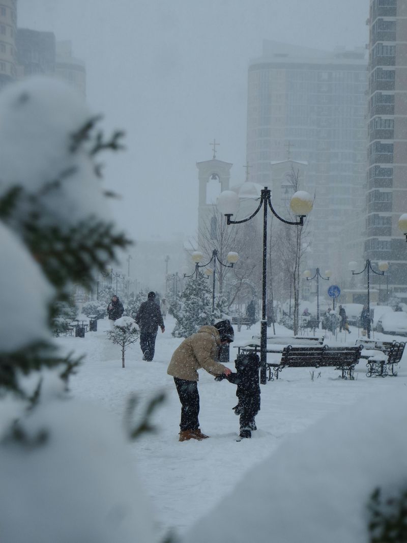
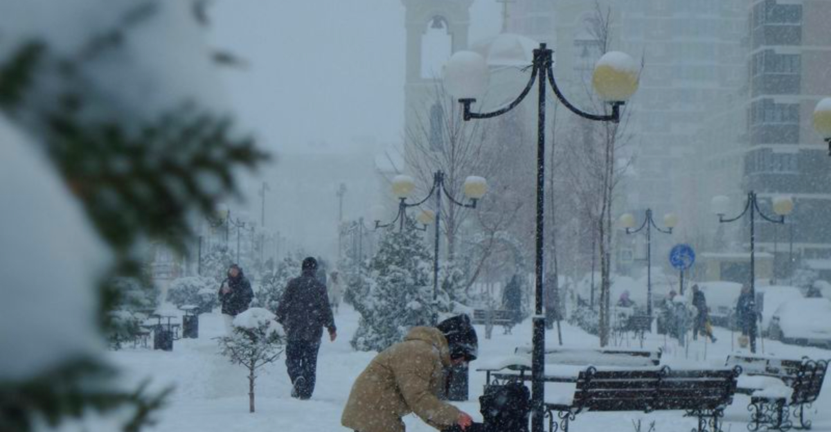
Southern cities are bracing for a winter twist that almost never happens, and you can feel the buzz on neighborhood chats and morning news. Watches and warnings are spreading across Texas, Louisiana, Mississippi, Alabama, Florida, Georgia, and South Carolina.
For some towns, this could be the first measurable snowfall in years, even decades.
In eastern Texas and Louisiana, models hint at snow totals that could brush historical marks in places like Houston and New Orleans. That kind of outcome is rare and jarring where palm trees and warm breezes normally rule.
New Orleans has seen measurable snow only a couple of times since 1990, which should tell you how unusual this forecast truly is.
Farther east, northern Florida may flirt with mixed precipitation or flakes, a novelty that can morph into a commute nightmare. When rain flips to sleet or snow, roads glaze quickly because ground temperatures lag and treatment resources are limited.
Even modest accumulations can shut down bridges, overpasses, and shaded neighborhoods.
So what should you do now? Charge devices, top off gas, and set alerts for your local National Weather Service office.
If you have to drive, consider leaving earlier or later to avoid the worst of the precipitation changeover.
Public works teams will do what they can, but salt and plows are scarce compared with northern cities. Small businesses and schools may opt for delays or closures to keep people safe.
That is not overreacting in the South, it is smart risk management.
Keep checking trusted updates, because a tiny jog in the storm track can turn cold rain into slick ice or a photogenic snowfall. Have patience with travel and services, and help neighbors who are vulnerable.
A little preparation now can make a rare winter day a safer one.
Ice, Freezing Rain and Widespread Travel Trouble Possible
Snow may grab headlines, but ice is the hazard that can change everything fastest. Freezing rain can build a slick, nearly invisible glaze that sends cars sliding and walkers stumbling.
Even a tenth of an inch can weigh down power lines and limbs, leading to outages and blocked streets.
If you are near the southern or eastern flank of the storm, prepare for a messy mix. Temperature profiles a few hundred feet above ground often decide whether you get sleet, freezing rain, or wet snow.
That is why forecasts may emphasize uncertainty and ask you to check back frequently.
Driving during icing is risky, especially where salt, sand, and de-icing equipment are limited. Bridges and overpasses freeze first, and shaded turns can surprise even cautious drivers.
If you can delay travel until temperatures climb or crews treat roads, that choice could prevent a crash.
Air travel can also hit turbulence. Runway icing and de-icing operations slow departures and arrivals, so rebookable tickets and carry-on essentials are your friend.
Consider earlier flights or buffer days if you have important connections.
At home, move vehicles away from large trees and charge backup batteries for phones and medical devices. Keep blankets, water, snacks, and medications ready in case the lights go out.
If you rely on medical equipment, coordinate a plan with your provider and local utility.
Stay tuned to local alerts, because changes in wind direction or precipitation intensity can quickly shift the icing footprint. Treat downed lines as energized and report them immediately.
With a little caution and patience, you can ride out the worst impacts and be ready when the thaw arrives.
Historic Storm Setups in Context – Why This One Matters
Historic Southern snowstorms are rare, but they do happen when the atmosphere lines up just right. Push Arctic air unusually far south, add a rich Gulf moisture feed, and you can flip normally mild cities into winter scenes.
That is the blueprint for the storms people talk about years later.
Context helps you gauge why forecasters are attentive now. When cold air undercuts warm layers aloft, precipitation can range from sleet and freezing rain to heavy, wet snow.
Small changes in track, timing, or temperature can swing outcomes dramatically across short distances.
Past storms show the stakes. The 2025 Gulf Coast blizzard delivered heavy snow from Texas to Florida, with memorable totals in New Orleans and Pensacola.
While every event is unique, similar ingredients today raise the odds for another noteworthy chapter.
What makes this setup matter to you is not just the potential records but the vulnerability in regions with limited winter gear. Roads ice quickly, power lines sag, and travel networks struggle to recover.
Planning around that risk is smarter than trying to push through it.
Use history as a guide, not a guarantee. Stock essentials, map alternate routes, and set weather alerts that wake your phone overnight.
If the forecast trends colder, expect rapid changes to school and work schedules.
As models refine, you will see sharper maps of snowfall and ice probabilities. Remember that a shift of fifty miles can be the difference between drizzle and damaging glaze.
Staying flexible keeps you ahead of the storm and turns a rare event into a story of preparation rather than hardship.


