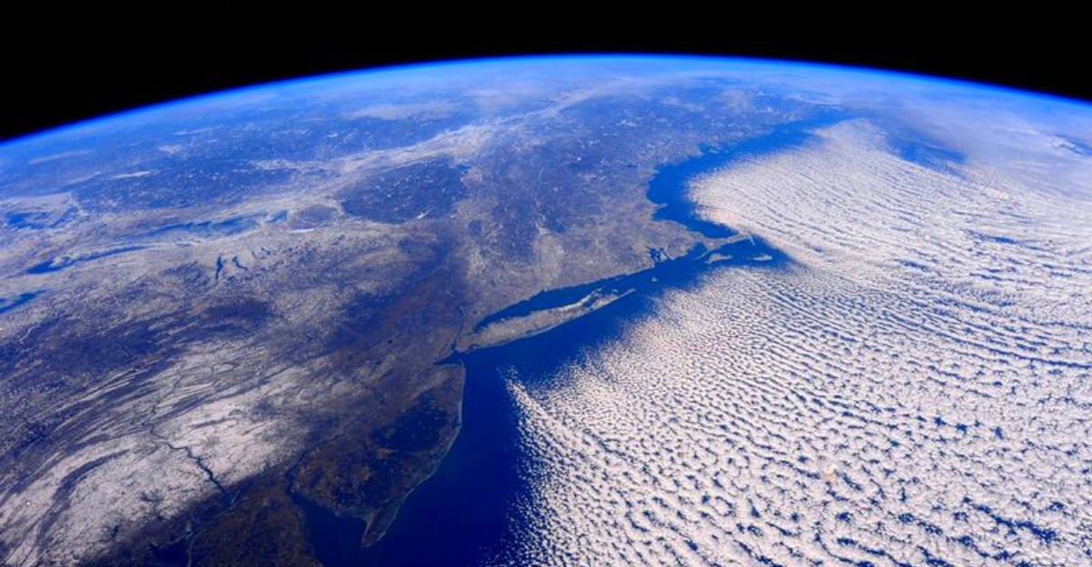
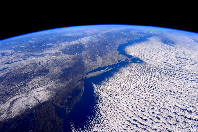
Arctic air is on the move, and the East is feeling every bit of it. If you have wondered why the cold keeps coming back, the answer sits high above, spinning around the pole.
The polar vortex has shifted, and that shift is rewriting February’s forecast for millions. Stay with this report to understand what it is, how it disrupts patterns, and what you should expect next.
The polar vortex is a persistent, dome-like circulation of frigid air that typically spins around the Arctic, bounded by the fast-moving polar jet. Under stable conditions, it corrals the planet’s coldest air near the pole and away from mid-latitudes.
When that balance weakens, lobes of the vortex can dip south, steering Arctic air into the United States.
This winter, meteorologists observed an unusually displaced vortex allowing repeated surges of cold to reach the central and eastern regions. You feel it as day after day of sub-freezing highs, biting wind chills, and hard freezes far from the Canadian border.
The mechanism is not a quick flip but a large-scale, upper-air pattern with staying power.
Understanding the vortex explains why storms seem broader, snow bands heavier, and cold spells longer. The jet stream’s waviness can deepen, guiding storm tracks over the same corridors and reinforcing chill.
For you, that means extended heating demand, icy commutes, and schools juggling closures. For planners, it shapes energy loads, salt budgets, and emergency readiness.
Appreciating this driver turns scattered forecasts into a single, coherent story.
This winter’s disruption includes stratospheric warming signatures that weakened the polar vortex and let it stretch or split. When that happens, the cold reservoir is unlocked and pushed south along amplified jet stream arcs.
Instead of one sharp blast, the pattern reloads, sending sequential cold waves into the East.
Forecast models continue to favor below-average temperatures across the Midwest, Northeast, and parts of the Southeast through much of February. You can expect lulls, but the atmosphere remains primed for fresh intrusions.
Each reinforcing surge refreshes snowpack, enhances radiational cooling, and prolongs icy ground hazards.
Unlike a transient front, a disrupted vortex couples stratospheric dynamics with tropospheric steering, sustaining winter’s grip. The result is a conveyor of clippers and coastal systems that can blossom into snow or mixed precipitation.
Travel headaches stack up, while energy bills and grid loads climb. Keeping tabs on local outlooks helps you plan around timing windows, from deicing mornings to weekend storm chances.
Across the East, this pattern has delivered persistent cold rarely seen in recent decades. Major hubs like New York City have hovered at or below freezing for extended stretches, reviving records for duration rather than just single-day lows.
You notice it in stubborn ice, salt shortages, and buses running late.
Cold advisories and extreme cold warnings have covered millions, with wind chills turning quick errands into safety risks. Farther south, rare snow and ice have slicked roads from the Carolinas to north Florida, complicating travel and logistics.
Airports face deicing queues, while rail and power infrastructure battle brittleness and peak loads.
The human toll is tangible: hypothermia cases, frostbite injuries, and house fires from unsafe heating attempts. Utilities and agencies urge layered clothing, safe space-heater use, and checking on vulnerable neighbors.
For families, building a simple plan for heat, medications, and pet care reduces stress. This cold is not just a headline but a daily calculus of risk and resilience.
Looking ahead, the overall setup still favors below-normal temperatures through much of February, punctuated by brief thaws. You will likely see additional Arctic intrusions that refresh the chill and revive slick surfaces.
Confidence is highest from the Midwest to New England, with occasional pushes into the Mid-Atlantic and Southeast.
Storm chances remain elevated as the jet guides clippers and coastal lows along temperature gradients. Expect windows of snow, mixed precipitation, and flash-freeze scenarios when mild spells flip back to cold.
Timing matters for commutes, weekend plans, and school schedules, so keep alerts on.
Practical steps go a long way: insulate outdoor spigots, assemble car kits, and stagger energy use during peak hours. Dress in layers, protect skin from wind, and watch for black ice on shaded roads.
If you manage teams or facilities, revisit staffing, salt inventories, and generator readiness. Staying proactive helps you navigate February’s extended chill without last-minute scrambles.


