There is a trail in Oregon that makes you feel like you have walked straight into a nature documentary, except the waterfall at the end is real, the mist on your face is real, and the jaw-dropping scenery is absolutely real. The path is short, the terrain is forgiving, and the reward at the finish line is one of the most stunning waterfalls in the entire Pacific Northwest.
I had heard people talk about this place with the kind of enthusiasm usually reserved for life-changing events, and after visiting it myself, I completely understood why. Whether you are a seasoned hiker or someone who just bought their first pair of trail shoes, this is the kind of place that sticks with you long after you have driven home.
Where the Trail Begins: Location and Access
The address for Tamanawas Falls Trail 650A is along Oregon 97041, near the community of Mount Hood, in the Mount Hood National Forest in northern Oregon. The trailhead sits near the East Fork Hood River, and you reach it by heading east on Highway 35 from the town of Hood River.
The parking area is a standard forest lot with room for a fair number of vehicles, though it fills up quickly on summer weekends. A Northwest Forest Pass is required for parking, so grab one in advance or pick one up at a nearby ranger station to avoid any hassle.
The trail itself is marked clearly from the moment you step out of your car. Signage is reliable, and the path is well-maintained by the U.S.
Forest Service. I arrived on a Saturday morning and found the lot about half full, which gave me a comfortable start without the shoulder-to-shoulder crowd I had feared.
Getting there from Portland takes roughly 90 minutes, making it a very doable day trip from the city. The drive along Highway 35 through the Hood River Valley is scenic on its own, with orchards and mountain views keeping you company the whole way.
The Trail Stats That Make It So Appealing
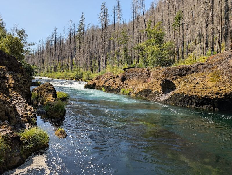
At roughly 3.1 miles round trip, this trail is one of those rare finds that delivers maximum scenery for minimal effort. The elevation gain is modest, sitting at around 450 feet, which means most hikers of average fitness can complete it comfortably without needing to stop and catch their breath every few minutes.
The trail is rated easy to moderate, and that rating felt accurate to me. The path is mostly packed dirt and rock, with a few rooty sections near the river that require a little attention underfoot, but nothing that would slow you down significantly.
Families bring kids on this trail regularly, and I passed several groups with children as young as five or six who were keeping pace just fine. The 1.5-mile one-way distance feels very manageable even for younger legs, especially when you remind them there is a massive waterfall waiting at the end.
The round trip took me about two hours at a relaxed pace, with stops for photos and a few minutes of just standing still and listening to the river. That kind of unhurried pace is exactly what a trail this beautiful deserves, and I would not have rushed it for anything.
The East Fork Hood River: Your Trailside Companion
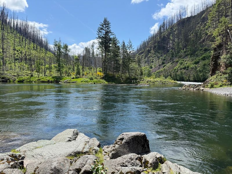
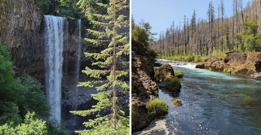
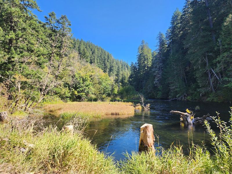
The East Fork Hood River runs alongside much of the trail, and it is one of the most charming trail companions I have ever had on a hike. The water runs fast and clear over smooth volcanic rocks, and the sound of it follows you almost the entire way to the falls.
There are several natural spots along the bank where you can crouch down and feel the cold water on your hands. On a warm summer day, that icy splash is genuinely refreshing, and more than a few hikers I saw were taking off their shoes and wading in at wider, calmer sections.
The river corridor creates its own microclimate along the trail. Even on hot days, the air near the water stays noticeably cooler, which makes the hike feel much more comfortable than trails that are fully exposed to the sun.
Boulders of all sizes line the banks, many of them covered in thick green moss that adds a lush, almost prehistoric quality to the scenery. I kept stopping to photograph the river framed by those big mossy stones and overhanging branches, and every single shot came out looking like something from a nature magazine.
Old-Growth Forest Canopy Overhead
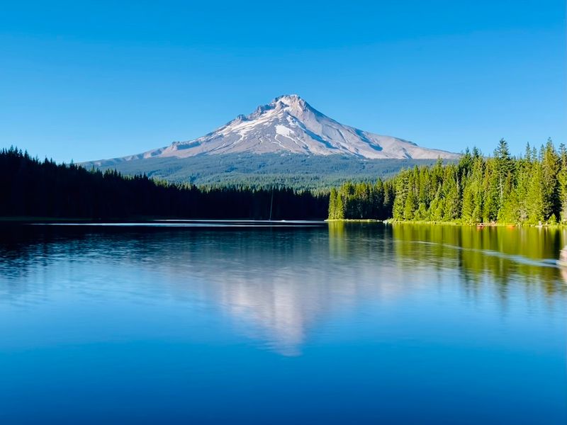
One of the first things that hits you after leaving the trailhead is the sheer size of the trees. The forest here is dominated by Douglas fir, western red cedar, and western hemlock, many of them reaching heights that make you feel genuinely small in the best possible way.
The canopy is so dense in places that even on a sunny day, the light filters down in shifting patches rather than flooding the trail directly. That soft, green-tinted light gives the whole forest a calm, almost hushed quality that I found immediately relaxing.
Moss covers not just the rocks but also the lower trunks of many trees, giving the forest floor a rich, layered texture. Ferns grow in dense clusters between the roots, and in early summer, wildflowers add small bursts of color to the green-dominated palette.
I have hiked through a lot of Pacific Northwest forests, but this one felt particularly alive. The biodiversity packed into that short corridor is impressive, and even people who are not botanists or birders will notice that something special is happening in the ecosystem surrounding this trail.
The Big Reveal: Tamanawas Falls Up Close
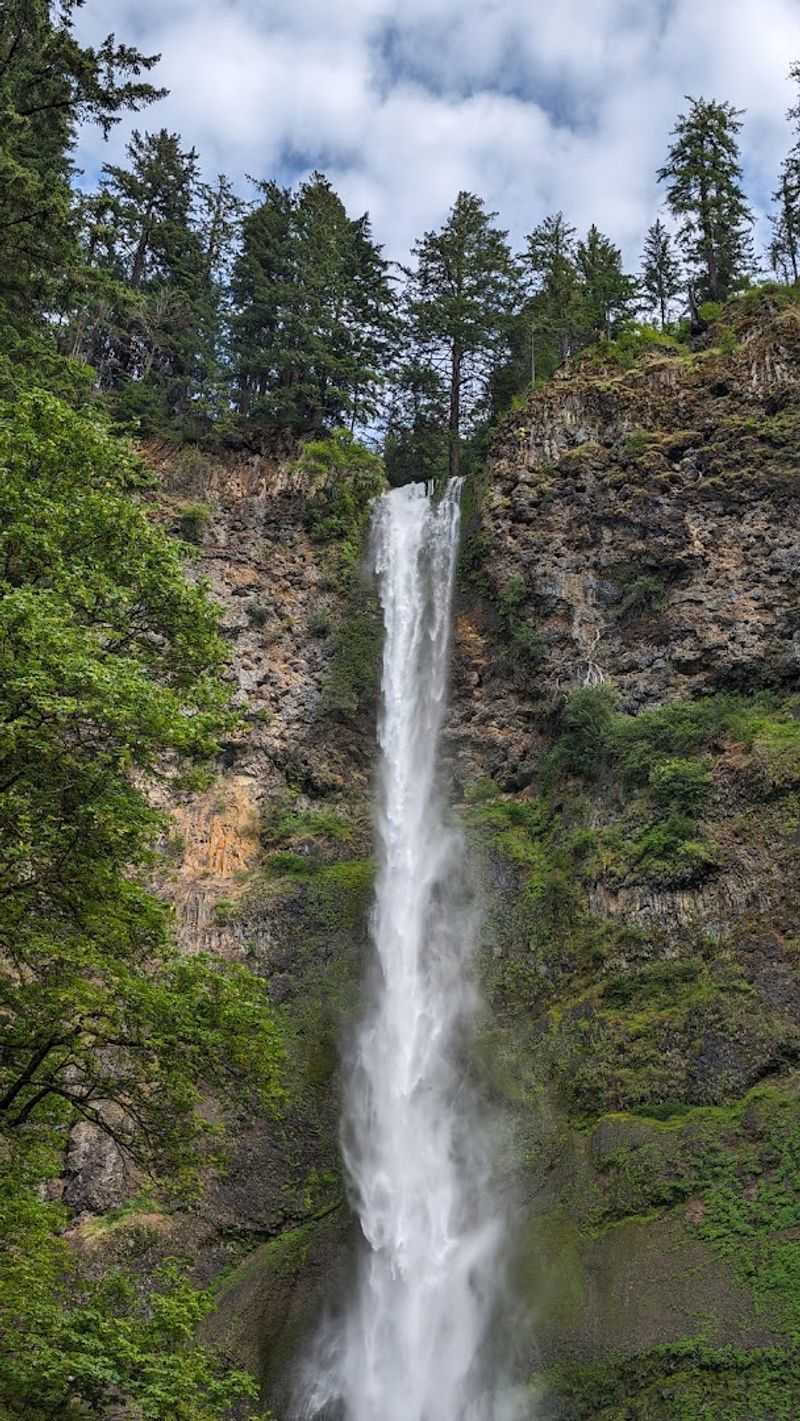
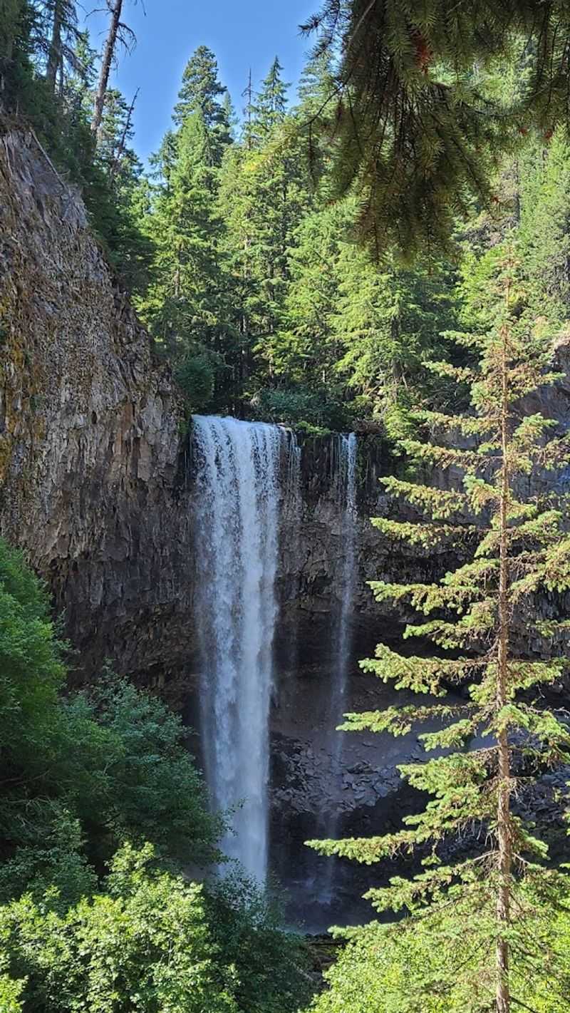
Nothing really prepares you for the first full view of the falls, even if you have seen photos beforehand. Tamanawas Falls drops approximately 100 feet over a wide basalt cliff face, spreading out in a broad fan shape before crashing into a boulder-filled pool at the base.
The scale of it is what gets you first. The cliff wall curves slightly, creating a natural amphitheater effect that amplifies the sound of the falling water and bounces mist out in all directions.
On the day I visited, the air near the base was cool and damp, and a light spray reached me even from a respectful distance.
A social trail leads right up to the base of the falls, where you can stand close enough to feel the full force of the mist on your skin. The rocks underfoot are slippery, so careful footing is important, but the view from that close-up vantage point is absolutely worth the extra care.
The name Tamanawas comes from the Chinook word for friendly spirit or guardian spirit, and standing at the base of those falls, surrounded by that roaring curtain of water, it is easy to understand why someone chose that name for this place.
Wildlife Watching Along the Way
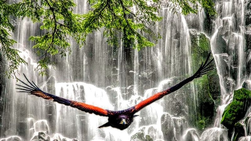
The trail corridor between the trailhead and the falls is surprisingly rich in wildlife, and keeping your eyes and ears open pays off in ways that the scenery alone does not. Birds are the most consistently visible residents, and the diversity along the river section is particularly good.
The American dipper, a small gray bird that bobs up and down on stream rocks and actually walks underwater to feed, is a regular presence along the East Fork Hood River. I spotted one on my visit and watched it for several minutes as it darted in and out of the current with total confidence.
Larger mammals are less frequently seen but very much present in the surrounding forest. Black-tailed deer are common in the early morning hours, and the dense undergrowth provides habitat for a wide range of smaller mammals, amphibians, and reptiles.
Birdwatchers will also find Steller’s jays, varied thrushes, and various woodpecker species working the old-growth trees on either side of the path. The trail is quiet enough that wildlife encounters feel natural rather than accidental, and that kind of calm observation is one of the real pleasures of hiking here.
Best Times of Year to Visit
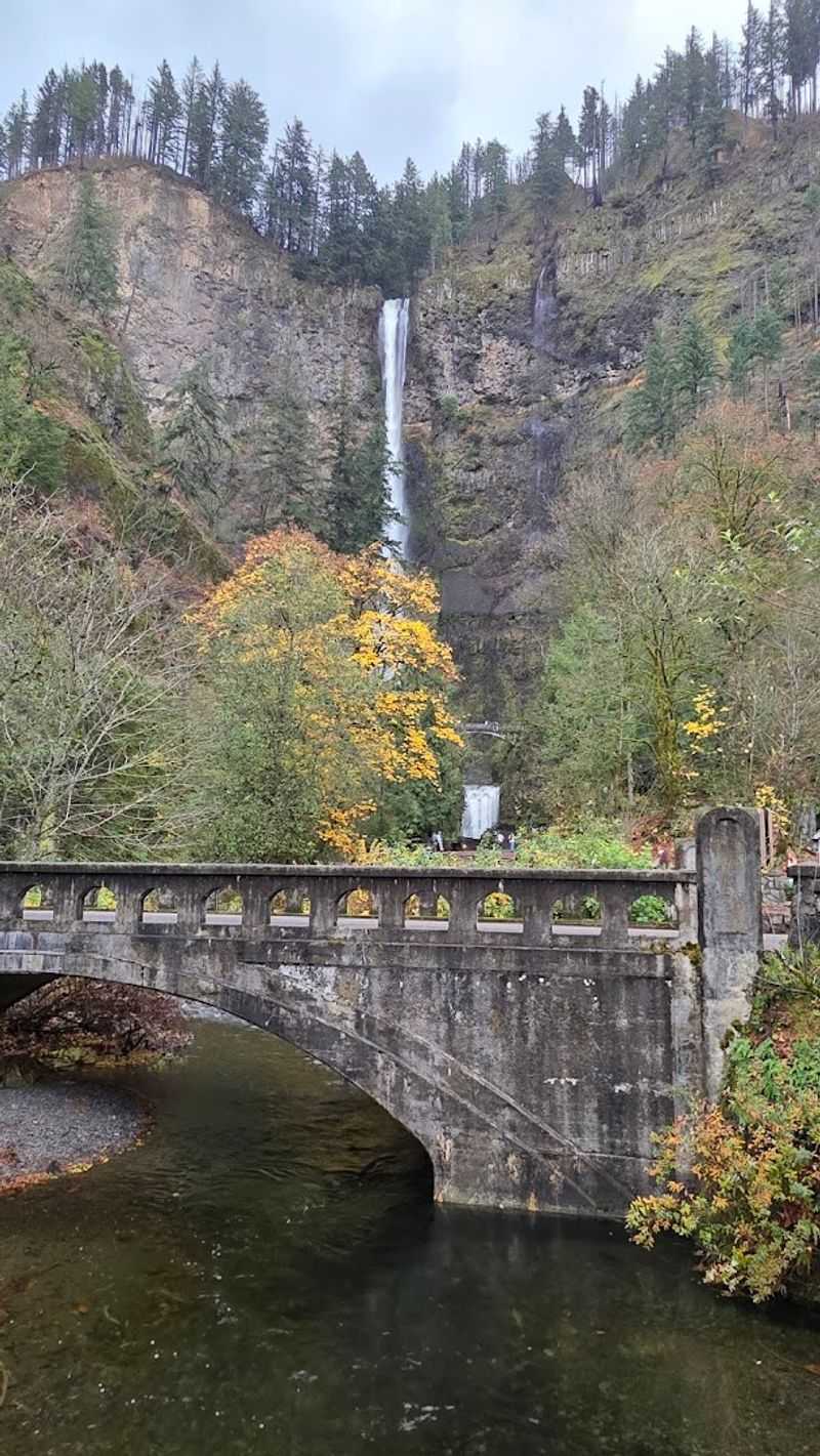
The trail is open and hikeable for most of the year, but the experience changes dramatically depending on when you go. Late spring and early summer bring the highest water volume to the falls, fueled by snowmelt from the upper slopes of Mount Hood, and the waterfall is at its most powerful and dramatic during those months.
Summer is peak season for visitor numbers, and the trail can feel genuinely crowded on weekends between July and August. Going early in the morning, ideally before 9 a.m., makes a significant difference in how peaceful the experience feels.
Fall is arguably the most photogenic season on this trail. Bigleaf maples and vine maples along the river turn brilliant shades of gold and orange in October, and the combination of fall color and flowing water is the kind of scene that photographers drive hours to capture.
Winter visits are possible but require caution, as the trail can be icy and snow-covered, and the cave behind the falls can develop impressive ice formations that are beautiful but make the footing even more treacherous. Spring shoulder season, around April and May, offers a sweet spot of good flow, manageable crowds, and fresh green growth throughout the forest.
What to Pack for the Hike
A trail this short does not require an elaborate gear list, but a few key items will make a noticeable difference in how comfortable and enjoyable your experience is. Waterproof footwear is at the top of that list, especially if you plan to go behind the falls or cross any of the rocky sections near the river.
A rain jacket or light waterproof layer is worth stuffing into your pack regardless of the forecast. The mist from the falls reaches farther than you might expect, and the forest holds moisture even on clear days, so staying dry is easier with a layer handy.
Trekking poles are not essential, but they add stability on the rooty and rocky sections near the falls, which can be slippery even when conditions are dry. Older hikers and anyone with knee concerns will appreciate the extra support on the return descent.
Bring more water than you think you need, a few snacks, sunscreen for the exposed sections near the trailhead, and a fully charged phone or camera. The photo opportunities on this trail are relentless, and running out of battery before you reach the falls would be a genuine disappointment worth preventing.
Trail Etiquette and Leave No Trace Tips
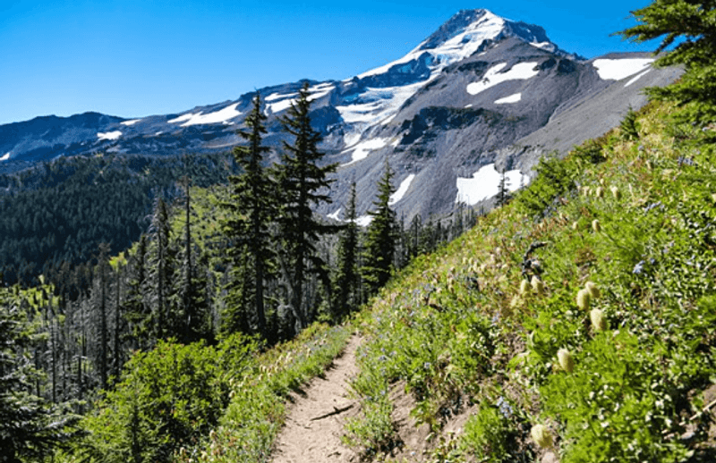
A trail this popular requires a shared sense of responsibility from everyone who uses it, and the good news is that most visitors seem to genuinely care about keeping it in great shape. Still, a few reminders go a long way toward making sure the experience stays positive for everyone.
Stay on the marked trail at all times, especially near the falls where the temptation to scramble on rocks can lead to erosion and damage to fragile plant communities. The social trail to the base of the falls is well-worn and easy to follow without creating new paths through the vegetation.
Pack out everything you bring in, including food wrappers, fruit peels, and any other waste. The parking lot has a garbage can, but the trail itself has no receptacles, so a small trash bag in your pack is a smart addition.
Yield to uphill hikers, keep noise at a considerate level, and give wildlife space when you spot it. Dogs are allowed on the trail but must be kept on a leash at all times, both for the safety of other hikers and to minimize disturbance to the animals that live along the river corridor.
How This Trail Compares to Others in the Region
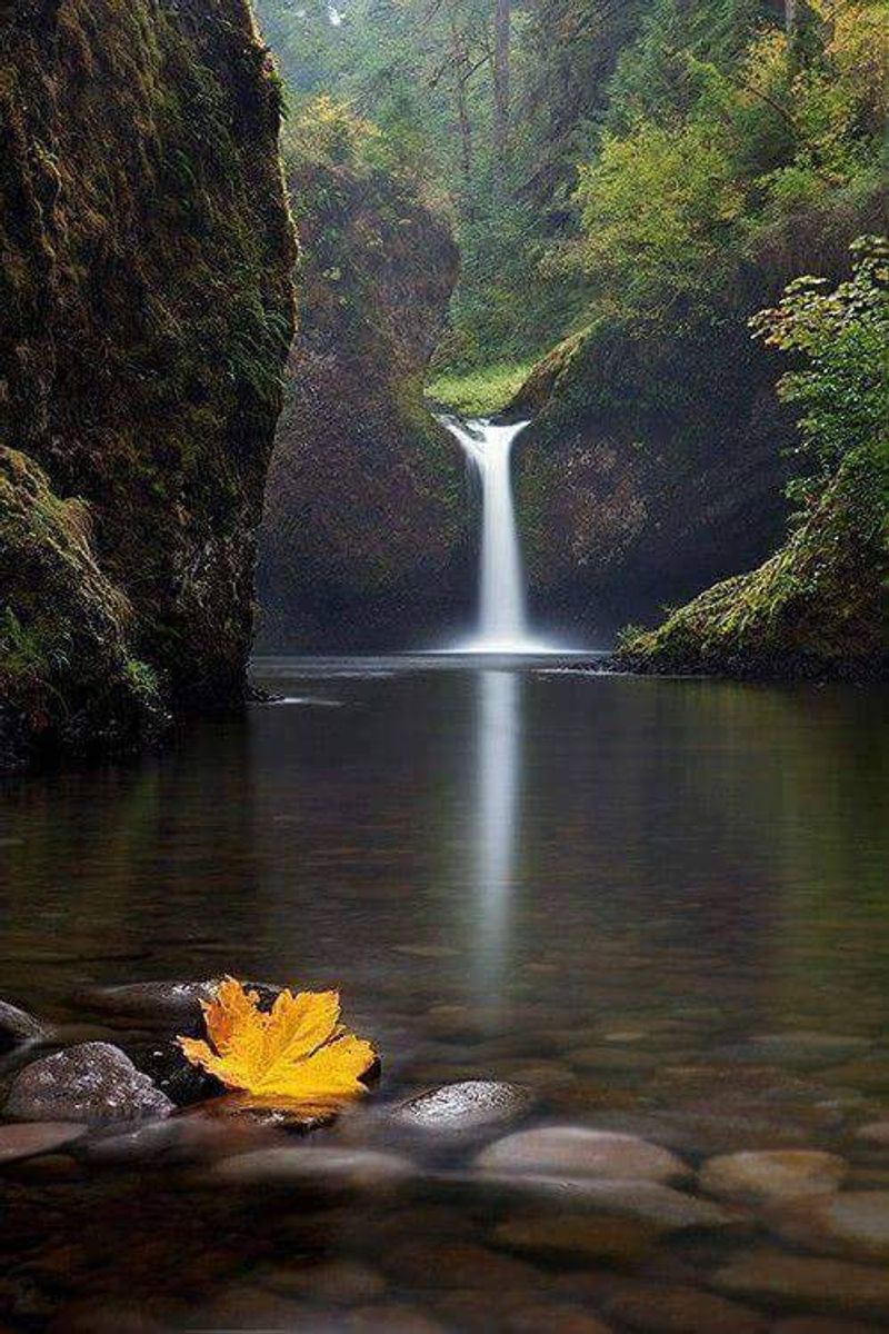
The Pacific Northwest has no shortage of waterfall trails, and Oregon in particular is packed with them, so it is fair to ask what makes this one worth a special trip. The honest answer is that the combination of factors here is unusually well-balanced for a trail of this length.
Most trails that lead to a waterfall this impressive require significantly more effort. Ramona Falls, another popular destination in the same national forest, involves a longer approach and more elevation.
Proxy Falls in the Cascades is stunning but harder to reach. This trail delivers a comparable payoff with considerably less physical demand.
The cave-behind-the-falls feature is also relatively rare in the region. Many waterfalls in Oregon are beautiful to look at from a distance, but few allow you to physically step behind the curtain, which adds an interactive dimension that most waterfall hikes cannot offer.
For visitors who are not from the Pacific Northwest, and that includes plenty of travelers passing through from places as far away as the Midwest or even Oklahoma, this trail consistently ranks as one of the most memorable single hikes they complete during their entire Oregon visit.
Share this story