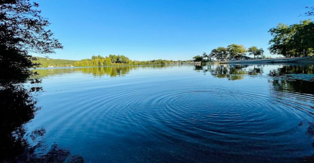
There is a lake in central Massachusetts that has been stopping people mid-sentence for centuries. Not because of its size, though its 17 miles of shoreline are genuinely impressive, but because of its name.
This lake holds the title of the longest lake name in the United States, clocking in at 45 letters. The full Nipmuc name is even longer, stretching to 45 characters in its commonly used form.
Beyond the name, this lake offers real outdoor recreation, local history, and a shoreline worth exploring. Keep reading to find out what makes this place far more than just a conversation starter.
Where Exactly Is This Lake
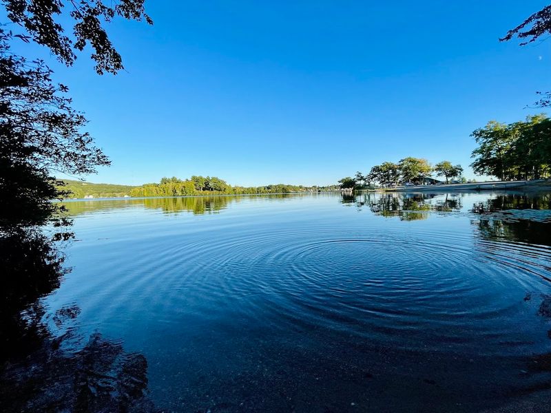
The lake sits in Webster, Massachusetts, a small town in Worcester County in the south-central part of the state. The address is Webster, MA 01570, and the lake is easy to reach from Route 16 and Interstate 395, making it accessible from both Boston and Providence.
Webster itself is a compact mill town with a working-class character, and the lake has historically been the recreational heart of the community. The surrounding area includes a mix of private residences, boat launches, marinas, and small public beach areas.
The lake covers approximately 1,442 acres and sits at an elevation that keeps it well-connected to the regional watershed. Three smaller ponds, known as the North Pond, Middle Pond, and South Pond, are all part of the same connected water body.
Getting there from Boston takes roughly an hour by car, and the drive through Worcester County offers a look at classic New England countryside before arriving at the water.
17 Miles of Shoreline Explained
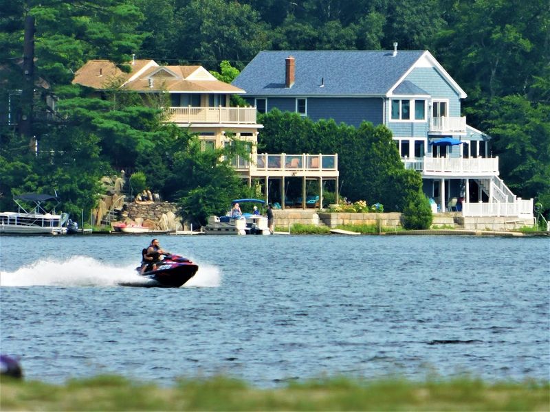
Seventeen miles of shoreline sounds like a lot for a lake that most people have never heard of, and it genuinely is. That measurement wraps around all three connected ponds, including the coves, inlets, and irregular edges that give the lake its distinctive shape on a map.
The shoreline is not uniform. Some sections are lined with private docks and summer cottages that have been in families for generations.
Other stretches remain wooded and relatively undeveloped, offering a quieter experience for those who prefer to keep things low-key.
Because the lake is divided into three sections connected by narrows, paddlers and boaters get a varied experience depending on which part of the water they explore. Each section has its own character, from the wider open stretches of North Pond to the more sheltered reaches near South Pond.
That variety across 17 miles is exactly what keeps people coming back each summer season.
The Nipmuc History Behind the Water
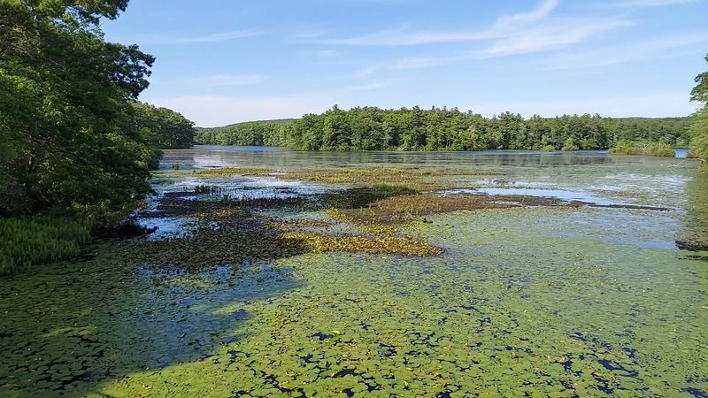
Long before Webster, Massachusetts existed as a town, the Nipmuc people lived and fished along these shores. The lake was a central resource for their communities, and the name they gave it reflected the way different groups shared access to its waters.
The Nipmuc Nation is a federally recognized tribe with deep roots in central Massachusetts, Connecticut, and Rhode Island. Their presence in the region dates back thousands of years, and Lake Chaubunagungamaug was one of many places where they maintained fishing rights and seasonal camps.
European settlement in the 1700s gradually displaced Indigenous communities from the shoreline, but the Nipmuc name survived while countless other local names were replaced. That linguistic survival is itself a form of historical record, preserving a layer of meaning that a simple English name would have erased entirely.
The lake stands as a quiet but persistent reminder that the land and water here have a history stretching far beyond the colonial era.
Fishing at the Lake
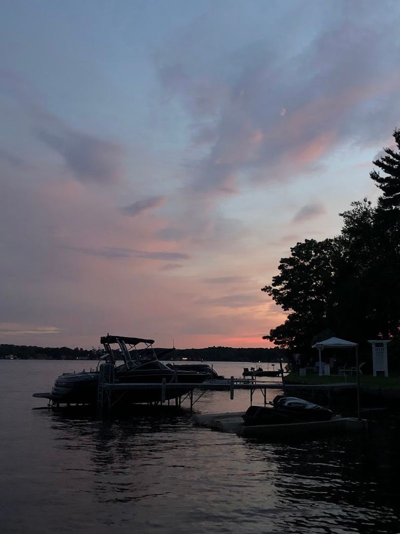
Fishing has been a reason to visit this lake for centuries, and that tradition has not faded. The lake supports a healthy population of largemouth bass, smallmouth bass, chain pickerel, yellow perch, and white perch, making it a productive destination for both casual anglers and competitive fishermen.
The Massachusetts Division of Fisheries and Wildlife regularly monitors and stocks the lake to maintain fish populations. Largemouth bass fishing is particularly popular here, and the lake has hosted local bass tournaments that draw participants from across the region.
Shore fishing is possible at several public access points, though many anglers prefer to launch a boat and work the coves and weed lines where fish tend to concentrate. The three connected sections of the lake offer different habitats, which means the fishing experience can vary considerably depending on where you drop a line.
A valid Massachusetts freshwater fishing license is required for anyone 15 years of age or older.
Boating on Three Connected Ponds
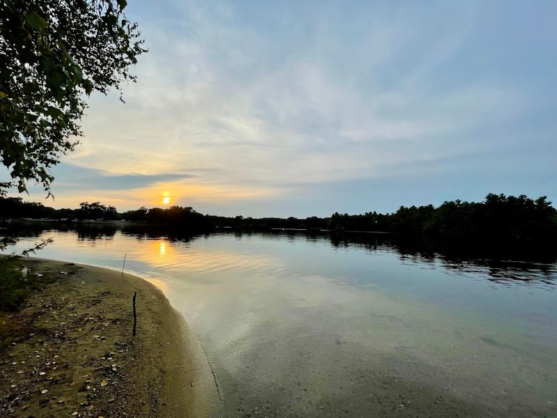
The lake is fully open to motorized boating, and several marinas along the shoreline offer boat rentals, slip rentals, and fuel. The connected three-pond layout gives boaters a natural route to follow, passing through the narrows that link North, Middle, and South Pond.
Waterskiing and tubing are common activities on the wider sections of the lake during summer weekends. The lake is large enough to support higher-speed water activities without feeling dangerously crowded, though busy holiday weekends do bring heavier boat traffic.
For those who prefer a slower pace, kayaking and canoeing work well here. The quieter coves and the wooded edges of South Pond are particularly well-suited to paddle craft, where the water stays calmer and wildlife is more likely to appear.
Public boat launches are available, and the town of Webster maintains access points that allow trailered boats to reach the water without requiring a marina membership or private dock access.
Swimming and Public Beach Access
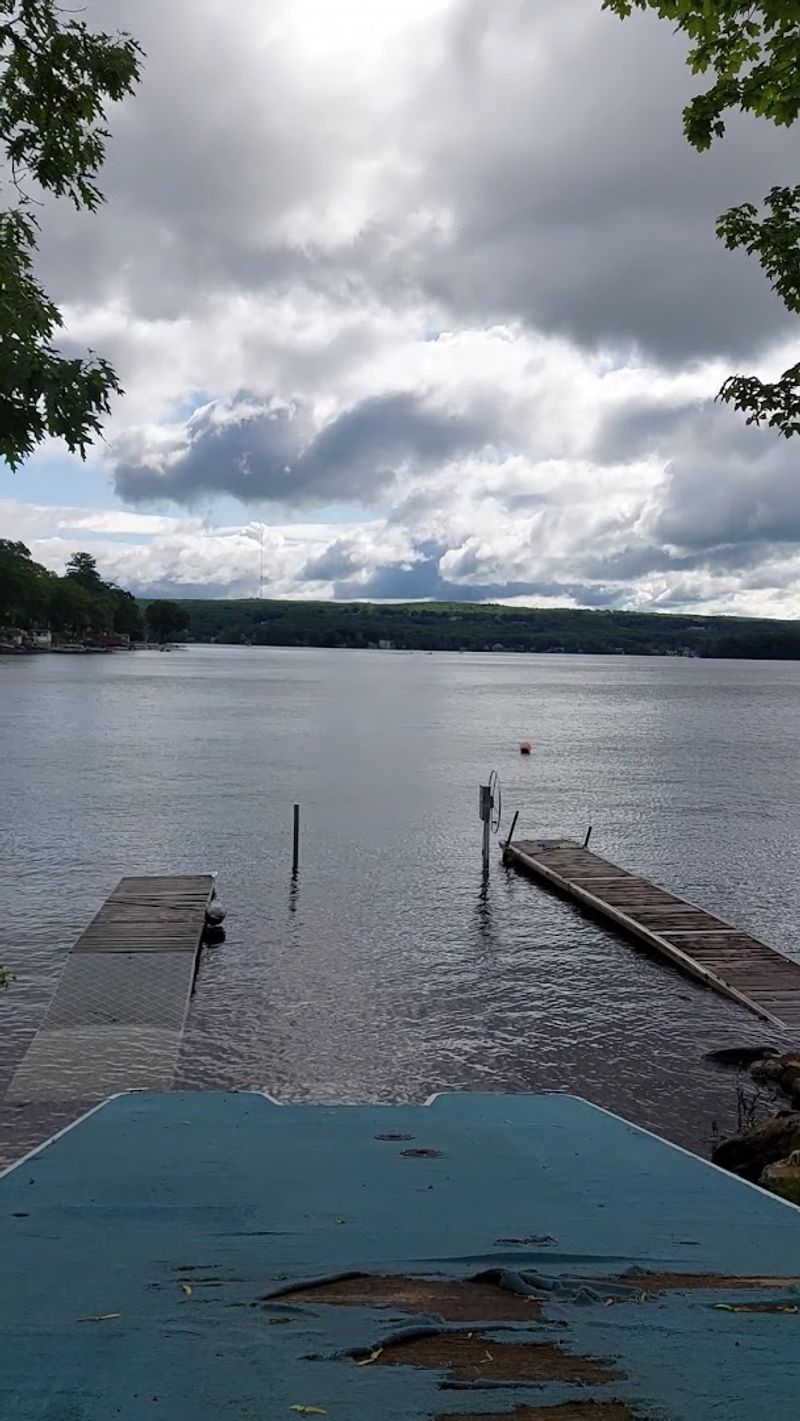
Swimming is one of the most popular activities at the lake, and the town of Webster provides public beach access for residents and visitors. The main public beach area offers a designated swim zone, sandy shoreline, and seasonal amenities during the summer months.
Water quality at the lake is monitored by local health authorities, and swim advisories are issued when conditions require it. Algae blooms have occasionally affected parts of the lake during hot summer periods, so checking current conditions before a visit is a practical step.
The beach draws families with young children, and the shallow entry points near the designated swim areas make it manageable for kids who are still building water confidence. Lifeguard coverage varies by season and staffing, so it is worth confirming supervision availability before relying on it.
Beyond the main public beach, some areas of the shoreline are accessible only through private property or via boat, which keeps certain stretches of water uncrowded even on peak summer days.
The Longest Lake Name in the United States
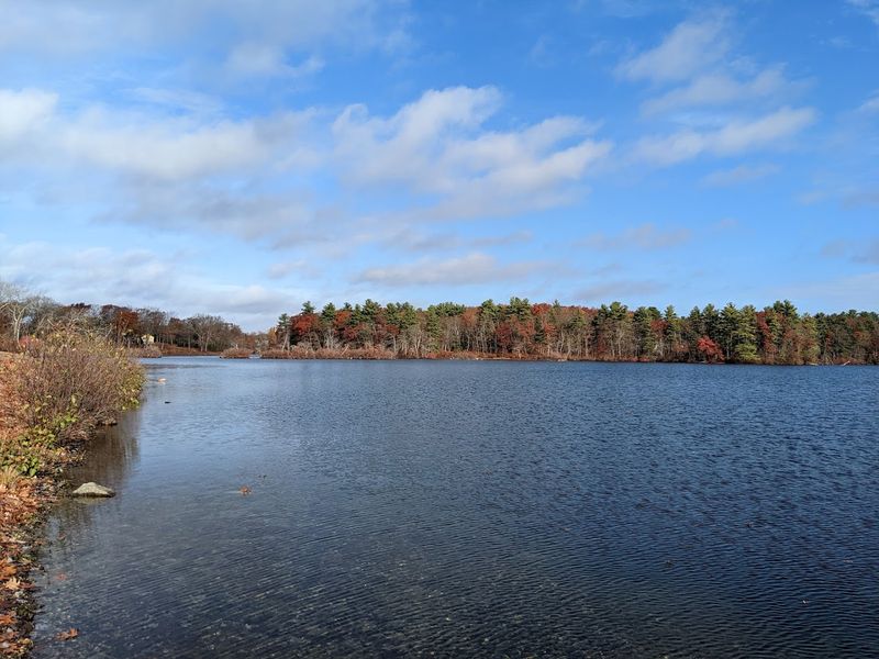
The claim to the longest lake name in the United States is not just a local boast. It is backed by reference books, geography records, and decades of media coverage that have made the lake famous far beyond Massachusetts.
The full Nipmuc name, Chargoggagoggmanchauggagoggchaubunagungamaugg, contains 45 letters in its most commonly cited spelling, though alternate spellings exist in historical records. The name has appeared in Ripley’s Believe It or Not, countless geography trivia lists, and school textbooks as an example of unusual American place names.
The notoriety has made the lake a minor tourist attraction in its own right. People drive to Webster specifically to photograph the lake sign, attempt to pronounce the name, or simply say they have been there.
Local businesses have leaned into the fame over the years, incorporating the name into merchandise, signage, and marketing in ways that celebrate rather than downplay the linguistic spectacle.
Wildlife Around the Shoreline
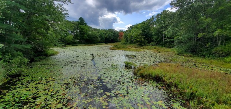
The lake and its surrounding wetlands support a range of wildlife that makes the area worth exploring beyond the water itself. Great blue herons are a common sight along the shallower edges of the lake, standing motionless in the reeds while hunting for fish.
Osprey nest in the area and are frequently seen diving for fish over the open water during warmer months. Common loons occasionally appear during migration, and painted turtles bask on logs along the quieter sections of shoreline throughout the summer.
Beaver activity is evident in some of the wooded coves, where gnawed stumps and lodge structures appear near the water’s edge. White-tailed deer, red foxes, and various songbirds round out the wildlife picture in the surrounding woodlands.
The diversity of habitats around the lake, including open water, wetland edges, and mixed forest, creates conditions that support a broader range of species than a more developed shoreline typically would.
Webster, Massachusetts: The Town Behind the Lake
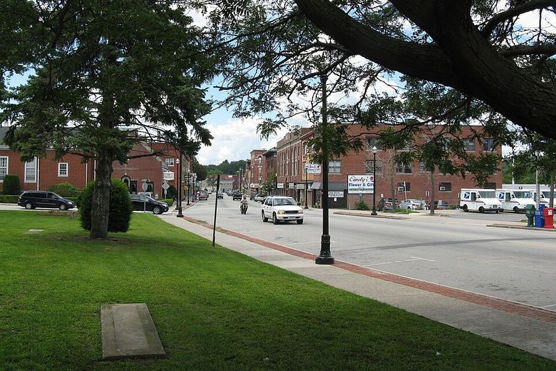
Webster was incorporated as a town in 1832, and its early economy was built around textile manufacturing. The town sits at the southern edge of Worcester County and has a population of roughly 17,000 people, giving it the feel of a close-knit community rather than a tourist hub.
The lake has always been central to life in Webster. Summer cottages began appearing along the shoreline in the late 1800s, when city residents from Worcester and Providence started using the lake as a seasonal retreat.
Many of those cottage communities still exist today, with properties that have passed through multiple generations of the same family.
The town itself offers basic services, local diners, and a handful of shops, but it is not set up as a polished resort destination. That unpretentious character is part of the appeal for people who prefer a genuine local experience over a curated tourist environment.
Webster is the kind of place where regulars know each other by name at the boat launch.
Winter at the Lake
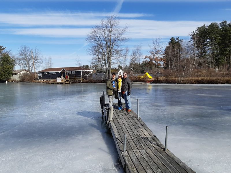
When temperatures drop below freezing in January and February, the lake transforms into a destination for ice fishing. Anglers drill holes through the ice and set up tip-ups or jig with light tackle for yellow perch, pickerel, and bass.
Ice fishing on Lake Chaubunagungamaug has a long local tradition, and on cold winter weekends the ice can be dotted with small shanties and portable shelters spread across the frozen surface. The three-pond layout means there are multiple areas to explore, and local knowledge about where fish are holding under the ice makes a real difference.
Ice conditions vary from year to year depending on how consistently cold the winter has been. Checking ice thickness before venturing out is essential, and the general rule of at least four inches of clear ice for foot traffic applies here as it does everywhere in New England.
The quiet of the frozen lake in winter is a sharp contrast to the busy summer scene just months earlier.
The Lake’s Three Connected Sections
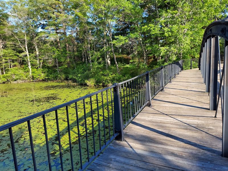
North Pond, Middle Pond, and South Pond are the three sections that make up the full lake system. They are connected by narrow channels that allow boats and paddle craft to move between them, creating a continuous waterway that rewards exploration.
North Pond is the largest and most open section, which makes it the primary area for motorized boating and water sports. Middle Pond sits between the other two and tends to see a mix of boat traffic and quieter paddle activity.
South Pond is the most sheltered of the three, with more wooded shoreline and calmer conditions.
The variation across the three sections means that different visitors can have genuinely different experiences on the same lake. A family tubing behind a motorboat on North Pond and a kayaker working the edges of South Pond are technically on the same body of water, but the experience feels entirely distinct.
That range is one of the reasons the lake holds broad appeal across different types of outdoor recreation.
Best Times to Visit the Lake
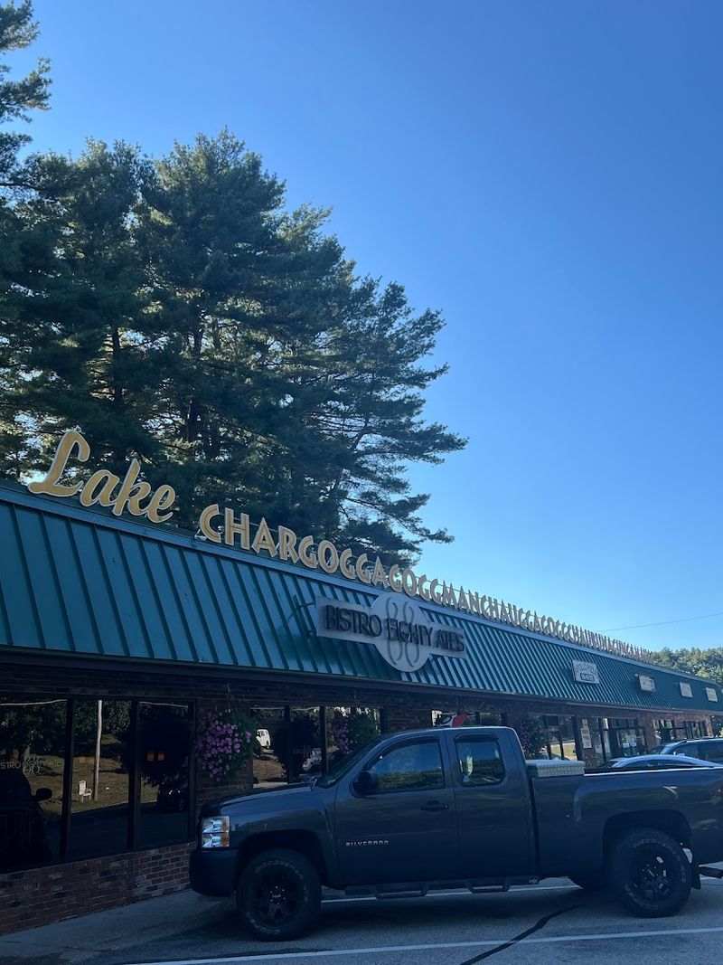
Summer is the peak season at the lake, with the busiest weeks falling between the Fourth of July and Labor Day. Beach access, boating, and fishing are all at their most active during this period, and the shoreline communities come fully to life with seasonal residents returning to their cottages.
Early June and September offer a quieter version of the summer experience. Water temperatures are still suitable for swimming and boating, but the crowds thin out considerably, and boat traffic drops enough to make paddling more enjoyable.
Fall brings a different kind of appeal. The mixed forest around the lake produces solid autumn color by mid-October, and the contrast of orange and red foliage against the water makes for strong photography conditions.
Fishing also picks up in fall as bass feed actively before winter.
Winter ice fishing runs from roughly January through early March in most years, weather permitting. Spring sees the lake transitioning back to open water, with early fishing activity picking up as water temperatures begin to rise.
Why This Lake Is Worth the Trip
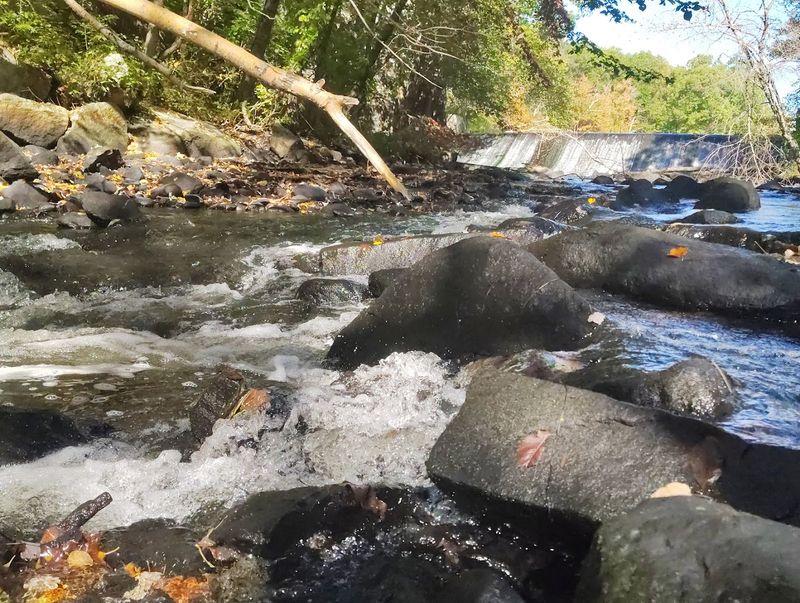
Most people first hear about this lake because of its name, but the ones who make the drive to Webster tend to leave talking about the water itself. The combination of fishing, boating, swimming, and shoreline walking covers enough ground to fill a full day without any effort.
The lake does not have the manicured resort feel of some New England destinations, and that is genuinely part of its character. The marinas are functional, the public beach is unpretentious, and the surrounding town has the lived-in quality of a place where people actually spend their summers rather than just perform them.
The 17 miles of shoreline, the three connected ponds, the Nipmuc history embedded in the name, and the four-season outdoor activity all add up to something more substantial than a curiosity stop on the way somewhere else.
Lake Chaubunagungamaug earns its place on the map not just because its name is hard to pronounce, but because the lake itself gives people a real reason to stay.
A Name That Stops Traffic
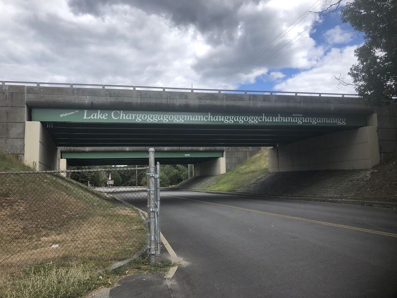
Most lakes get their names from settlers or surveyors. This one kept the name given by the Nipmuc people, and it has been confusing road-trippers ever since.
The commonly used version, Lake Chaubunagungamaug, contains 45 letters and is widely recognized as the longest lake name in the United States. The full ceremonial Nipmuc name, Chargoggagoggmanchauggagoggchaubunagungamaugg, stretches to 45 characters in its shortened form but expands much further in its complete spelling.
A popular translation suggests the name means something along the lines of “you fish on your side, I fish on my side, and nobody fishes in the middle,” though linguists note this translation was likely a humorous invention by a local newspaper editor in the 1920s. The actual Nipmuc meaning relates to boundary fishing waters.
Either way, the name has earned the lake a permanent spot on every list of unusual American place names.
Share this story