Missouri is not a state you rush through. Tucked between the Mississippi River and the rolling Ozark highlands, it holds some of the most underrated road trip routes in the entire country. You will find gravel byways carved by the Civilian Conservation Corps, historic highways lined with vintage motels, and river roads where bald eagles perch on winter tree branches like they own the place. Each of the drives on this list offers something genuinely different, whether that means dramatic bluff views, dense national forest roads, or Victorian river towns frozen in time.
Some of these routes are nationally designated scenic byways. Others are local treasures that most travelers zip past without a second glance. All of them reward anyone willing to slow down, roll the windows down, and actually look at what Missouri has to offer. Here are 11 roads worth every mile.
1. Glade Top Trail, Ava, Missouri, USA
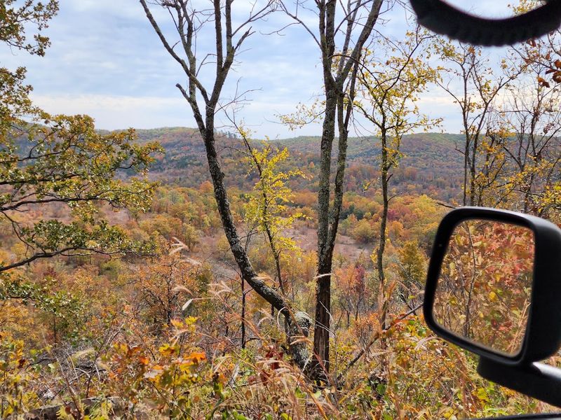
Missouri has exactly one National Forest Scenic Byway, and this 23-mile gravel road through Mark Twain National Forest is it. The Glade Top Trail follows narrow ridge tops, climbing roughly 500 feet above the surrounding countryside before opening up to panoramic views stretching 40 miles south into Arkansas.
Seven overlook pull-outs line the route, each offering a different angle on the Ozark landscape below. The road was originally built by the Civilian Conservation Corps in the late 1930s, and its quarried stone culverts and retaining walls remain largely intact today.
Beyond the views, the trail passes through rare glade habitats supporting over 500 native plant species, including Arkansas calamint and Missouri black-eyed Susan. White-tailed deer, wild turkeys, and even roadrunners call this area home. The Caney Picnic Area offers a short trail to a small cave, making it a worthy stop on its own.
2. Historic Route 66, St. Louis to Joplin, Missouri, USA
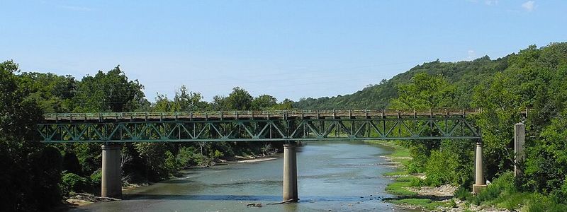
No road in American history carries more cultural weight than Route 66, and Missouri’s 317-mile stretch of the Mother Road is one of its most complete surviving sections. Starting near the Mississippi River in St. Louis and rolling southwest to Joplin, about 85 percent of the original pavement remains drivable today.
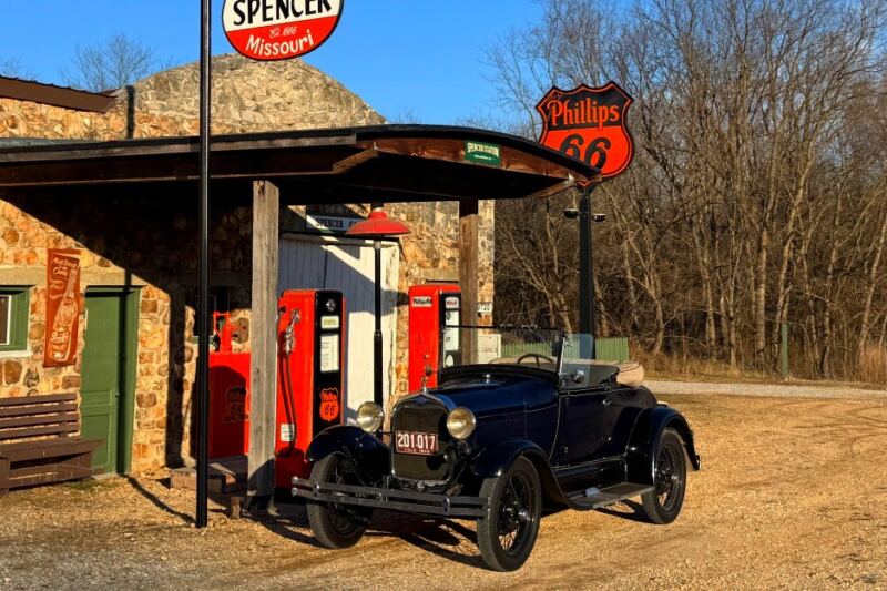
The drive shifts from urban neighborhoods and historic bridges into wooded Ozark hills, passing Meramec Caverns near Stanton, the mural-covered streets of Cuba, and the steel truss bridge at Devil’s Elbow above the Big Piney River. Vintage motels like the Wagon Wheel in Cuba and the Boots Court in Carthage still accept guests.
Springfield, self-proclaimed as the Birthplace of Route 66, sits near the midpoint and offers a full day of exploration on its own. The Giant Rocking Chair in Fanning is exactly what it sounds like, and yes, it is absolutely worth the stop.
3. Great River Road, Clarksville, Missouri, USA

Bald eagles have an excellent sense of real estate, and every winter they flock to the limestone bluffs around Clarksville by the hundreds, drawn by ice-free fishing grounds along the Mississippi. That alone makes this stretch of the Great River Road worth visiting between January and early March.
Missouri’s section of this nationally designated byway runs approximately 215 miles along the Mississippi, passing through river towns rich with 19th-century architecture. Hannibal, the boyhood home of Mark Twain, sits along the route and remains one of Missouri’s most visited literary landmarks.
Louisiana, Missouri, offers the Georgia Street Historic District, recognized as the most intact Victorian streetscape in the entire state. The Ted Shanks Conservation Area, a 6,705-acre wetland, provides serious wildlife viewing opportunities at nearly any time of year. The scenery shifts constantly, from wooded bluffs to open river vistas, keeping the drive genuinely interesting throughout.
4. Sugar Camp National Forest Scenic Byway, Cassville, Missouri, USA
The name Sugar Camp comes from the sugar maple trees early settlers once tapped along this route to produce maple syrup, which gives the byway a small but satisfying layer of historical backstory before you even start the engine.
This 28-mile route near Cassville combines paved highways with an eight-mile stretch of well-maintained gravel road, winding through the Mark Twain National Forest past hardwoods, eastern red cedar, and stands of pine. Traffic is consistently light, which makes it easy to stop frequently without feeling like an obstacle.
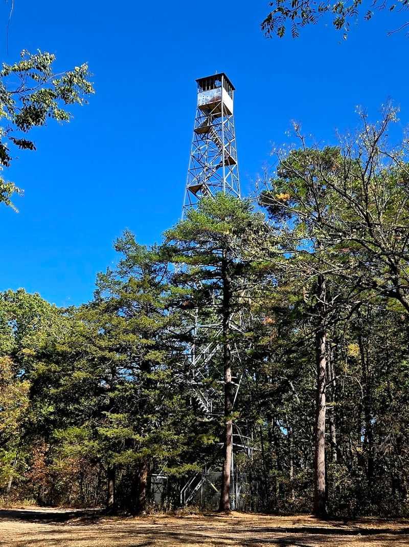
The Onyx picnic area and the historic Sugar Camp Fire Tower, built by the Civilian Conservation Corps in the 1930s, both offer good reasons to stretch your legs mid-drive. Roaring River State Park and Table Rock Lake sit close enough to the route that combining this byway with a full day of outdoor activities requires almost no extra planning at all.
5. Cliff Drive, Kansas City, Missouri, USA
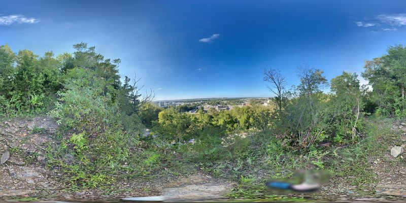
Established in 1900, Cliff Drive holds the unusual distinction of being a state scenic byway located entirely within a major city. The 4.5-mile parkway through George E. Kessler Park is typically closed to motorized vehicles, making it a dedicated corridor for walkers, runners, and cyclists who want a genuine nature experience without leaving Kansas City.
Limestone bluffs rise up to 250 feet along the route, composed primarily of Bethany Falls Limestone with characteristic vertical jointing that gives the escarpment a distinctly dramatic profile. Large maple trees, wild ginger, and scattered wildflowers line the path throughout the warmer months.
The Carl J. DiCapo Fountain, a restored artificial waterfall replacing the historic Scarritt Spring, provides a photogenic stopping point along the way. Stairs lead up to Lookout Point, where panoramic views of the Missouri River and the Northeast Industrial District open up below. Spring and autumn both offer strong cases for being the best time to visit.
6. Crowley’s Ridge Parkway, Kennett, Missouri, USA
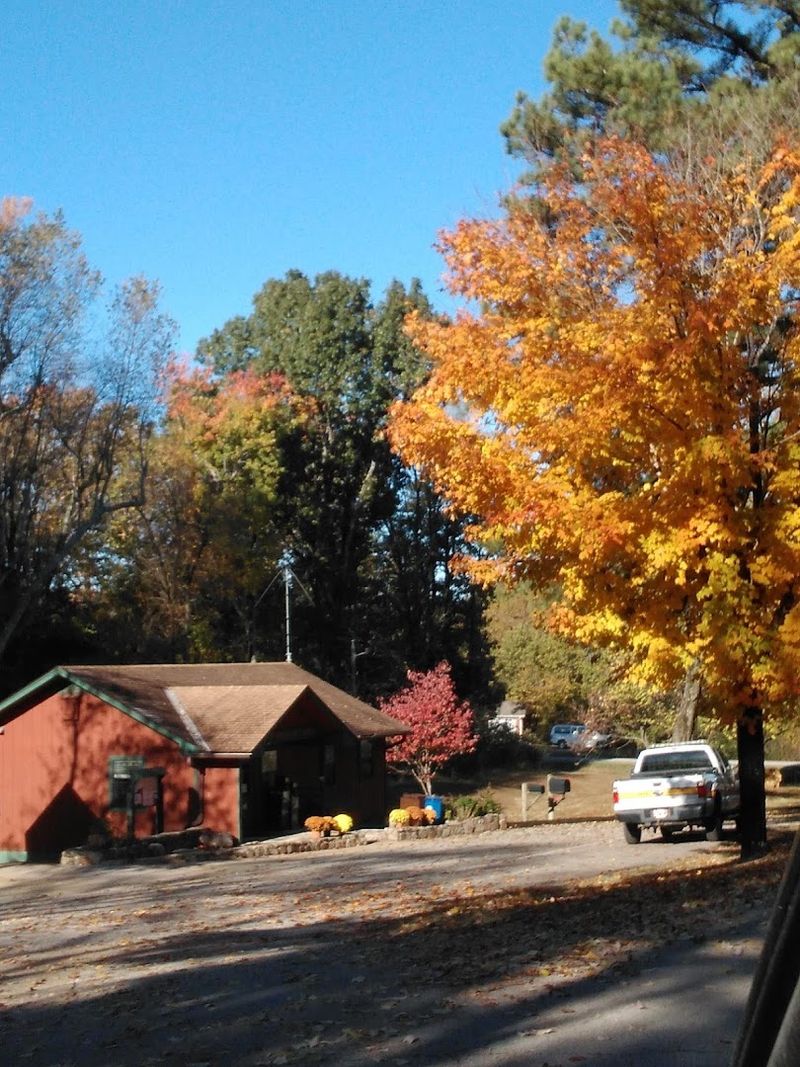
Crowley’s Ridge is one of Missouri’s most geologically unusual landforms, a narrow corridor of loess-covered hills rising between 250 and 550 feet above the flat Mississippi Delta that surrounds it on all sides. The parkway that follows its crest through southeastern Missouri covers about 14 miles in the state before continuing into Arkansas.
The ridge’s elevated terrain supports oak and hickory forests, wildflowers, and wildlife communities that differ noticeably from the agricultural flatlands just below. Spring brings dogwoods and redbuds into bloom along the ridge line. Autumn shifts the canopy into reds, oranges, and golds against a backdrop of open Delta plains stretching to the horizon.
Morris State Park, a 161-acre area with hiking trails along the ridge, provides the best opportunity to explore on foot. Small towns like Campbell and Kennett add local character to the drive, and Civil War historical markers appear at several points, connecting the landscape to events that unfolded here more than 150 years ago.
7. Old Trails Road, Lexington, Missouri, USA
Before interstates existed, before highways were numbered, Native Americans, fur traders, and westward-bound pioneers were already using the route that Old Trails Road follows today through central Missouri. This 15-mile state byway between Napoleon and Missouri City traces segments of both the Santa Fe Trail and the historic Boone’s Lick Road.
Panoramic overlooks of the Missouri River basin appear frequently along the route, particularly near Napoleon and Wellington. Lexington anchors the middle of the drive with four historic districts, a Civil War battlefield, and a World War I memorial packed into a compact and very walkable downtown.
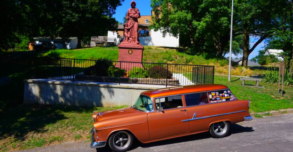
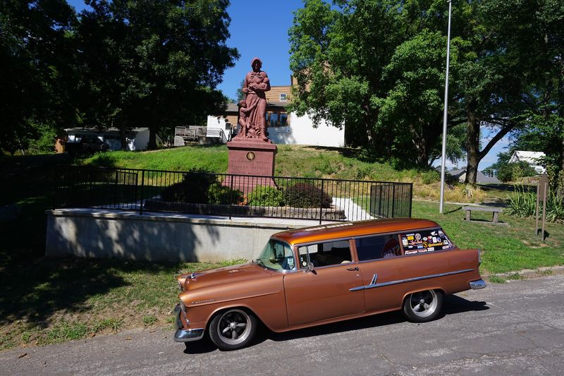
The Madonna of the Trail Monument in Lexington stands 18 feet tall and is made from algonite with crushed Missouri granite as its base aggregate. It is one of twelve identical statues placed across the country to honor pioneer women who traveled west in the 19th century. Wellington adds local wineries to the list of reasons to slow down and stay awhile.
8. Little Dixie Highway of the Great River Road, Louisiana, Missouri, USA
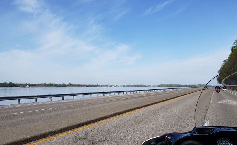
The stretch of Missouri Highway 79 between Clarksville and Hannibal carries a nickname rooted in history. Early settlers from Kentucky, Tennessee, and Virginia put down roots here in the 1800s, and the region became known as Little Dixie long before the Civil War drew hard lines through it.
This 30-mile nationally designated scenic byway follows limestone bluffs above the Mississippi, connecting river towns that were once thriving steamboat stops. Louisiana, Missouri, claims the Georgia Street Historic District as the most intact Victorian streetscape in the state, and the town’s murals depicting Mississippi River life cover entire building facades.
The corridor from Hannibal to Clarksville is sometimes called the Fifty Miles of Art, recognizing the concentration of artists, galleries, and craftspeople working in these communities. Clarksville’s Lock and Dam 24 area draws bald eagles during winter migration, often in impressive numbers. The Ted Shanks Conservation Area adds serious wetland wildlife viewing to an already strong lineup of reasons to make the trip.
9. Bloomfield Stars and Stripes Historical/Cultural Byway, Bloomfield, Missouri, USA
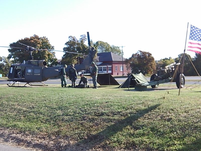
In November 1861, Union troops stationed in Bloomfield printed the first edition of a newspaper called the Stars and Stripes to keep soldiers informed during the Civil War. That single publication eventually grew into one of the longest-running military newspapers in American history, and the U.S. Department of Defense officially recognizes Bloomfield as its birthplace.
The Stars and Stripes National Museum and Library anchors this 5.5-mile byway on State Highway 25, housing original Civil War-era editions and military artifacts that trace the publication’s history across multiple conflicts. The Missouri Veterans’ Cemetery and a Civil War-era burial ground where both Union and Confederate soldiers rest add weight to the drive’s historical narrative.
The Stoddard County Archives and the Miller House round out the historical stops, offering Civil War records and interpretations of everyday life in early Southeast Missouri. The surrounding landscape is quiet farmland and forest, which gives the byway a reflective quality that suits its subject matter well.
10. Spirit of Kansas City Regional Scenic Byway, Kansas City, Missouri, USA
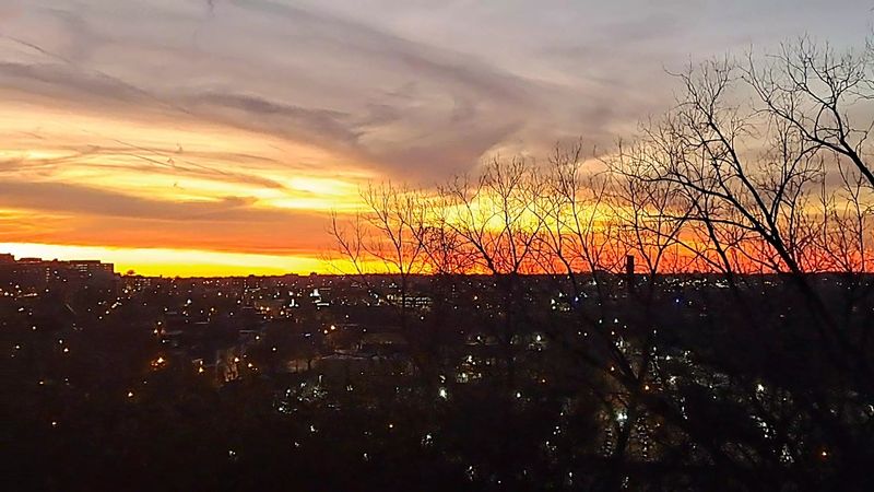
Most scenic byways take you away from cities. This eight-mile route does the opposite, threading through Kansas City’s historic neighborhoods, architectural landmarks, and parkway system to reveal a side of the metro area that even longtime residents sometimes overlook.
The byway connects to the Cliff Drive Scenic Byway to the east, forming a larger exploration network within the city. Along the route, the 18th and Vine Historic District represents one of the country’s most significant jazz heritage areas. The Scout statue in Penn Valley Park delivers a sweeping view of the downtown skyline that has appeared in countless photographs of the city.
Strawberry Hill, a neighborhood in Kansas City, Kansas, known for its Croatian and Slovenian immigrant heritage, adds an unexpected cultural dimension to the drive. The route is designed to be explored by car, on foot, or by bicycle, with the Riverfront Heritage Trail system providing additional access points. History, architecture, and green space all appear within the same eight miles.
11. Ozark National Scenic Riverways Drive, Eminence, Missouri, USA
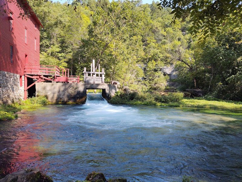
Big Spring discharges an average of 286 million gallons of water per day, making it one of the largest single-outlet springs in the world and one of the most compelling reasons to point a car toward Shannon County in southern Missouri.
The roads connecting Current River, Jacks Fork, and Alley Spring through the Ozark National Scenic Riverways pass through over 80,000 acres of national park land, the first such area in the country established specifically to protect a river system. Alley Spring is a particular highlight, where the historic red Alley Mill sits against a limestone bluff above water that runs a consistent cold temperature year-round.
More than 400 documented caves lie within the park boundaries, and Round Spring Caverns offers ranger-led tours during summer months. Hiking and horseback trails cross upland oak-pine ridges and riparian bottomlands throughout the park. Every season offers a different reason to make the trip, from spring wildflowers to winter’s stark bluff contours rising above clear-running water.
Share this story