Some parts of our planet receive so much rain that umbrellas barely help. From tropical islands to mountainous nations, certain countries experience rainfall so intense it shapes everything from their forests to their daily routines.
Understanding which countries get the most rain helps us appreciate how climate affects people, wildlife, and ecosystems around the world. Get ready to explore the soggiest corners of the globe.
1. Colombia
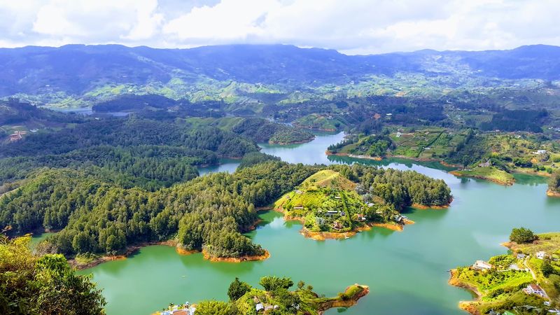
Along Colombia’s Pacific coast, rain is not just weather, it is a way of life. Some areas here receive more than 12,000 mm of rainfall each year, making it one of the rainiest places on the entire planet.
The town of Quibdo regularly ranks among the wettest cities in the world.
Colombia’s geography plays a huge role. The Andes Mountains force moisture-laden winds upward, causing them to release enormous amounts of rain on the western slopes.
This creates incredibly rich biodiversity, including some of the most species-dense rainforests anywhere on Earth.
Farmers, communities, and wildlife all depend on this water. The rainfall feeds major rivers and supports ecosystems that scientists are still discovering.
Colombia proves that heavy rain, while challenging to live with, can also be the source of extraordinary natural abundance and beauty.
2. Sao Tome and Principe
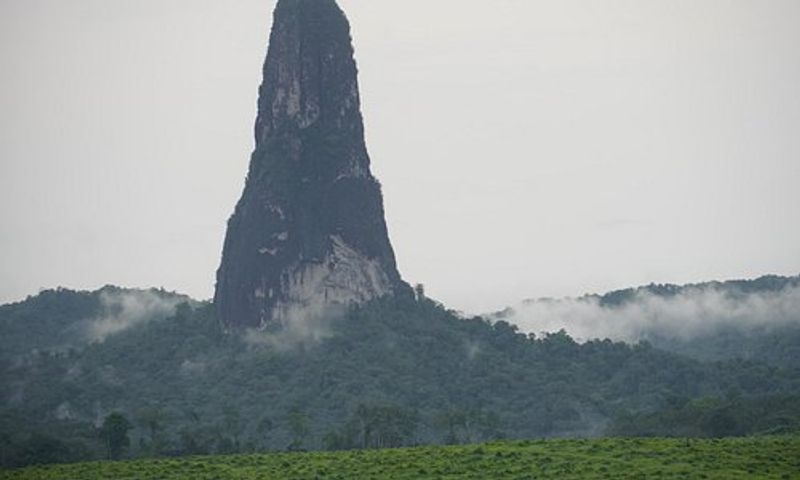
Tucked inside the Gulf of Guinea off the coast of central Africa, Sao Tome and Principe is a tiny island nation with impressively heavy rainfall. The southern parts of Sao Tome island can receive over 7,000 mm of rain annually, keeping the landscape a vivid, almost unreal shade of green year-round.
The islands sit almost directly on the equator, which means warm, moist air is always nearby. Rain falls in both a main wet season and a shorter rainy period, so dry spells are brief and rare.
This constant moisture supports dense tropical forests packed with birds and plants found nowhere else.
For locals, the rain drives agriculture, especially cocoa and coffee farming that the islands are historically known for. Visitors are often surprised by how quickly weather can shift from sunshine to a tropical downpour within minutes.
3. Papua New Guinea
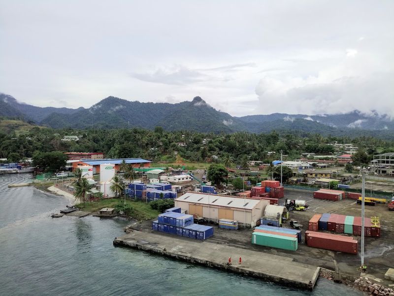
Papua New Guinea is a land where mountains meet monsoons, and the result is staggering rainfall. The country’s rugged highland terrain forces warm Pacific air upward, squeezing out rain in enormous quantities.
Certain highland valleys receive well over 10,000 mm of precipitation each year.
More than 800 languages are spoken across Papua New Guinea, and nearly every community has adapted its way of life around the relentless wet seasons. Traditional homes are built on stilts, crops are carefully timed, and rivers are central to transportation and survival.
Rain here is not an inconvenience but a fundamental part of culture.
The country also harbors some of the world’s most biodiverse rainforests, rivaling even the Amazon in terms of species variety per square kilometer. Scientists continue to discover new plants, insects, and animals hidden within its rain-soaked jungles every year.
4. Solomon Islands
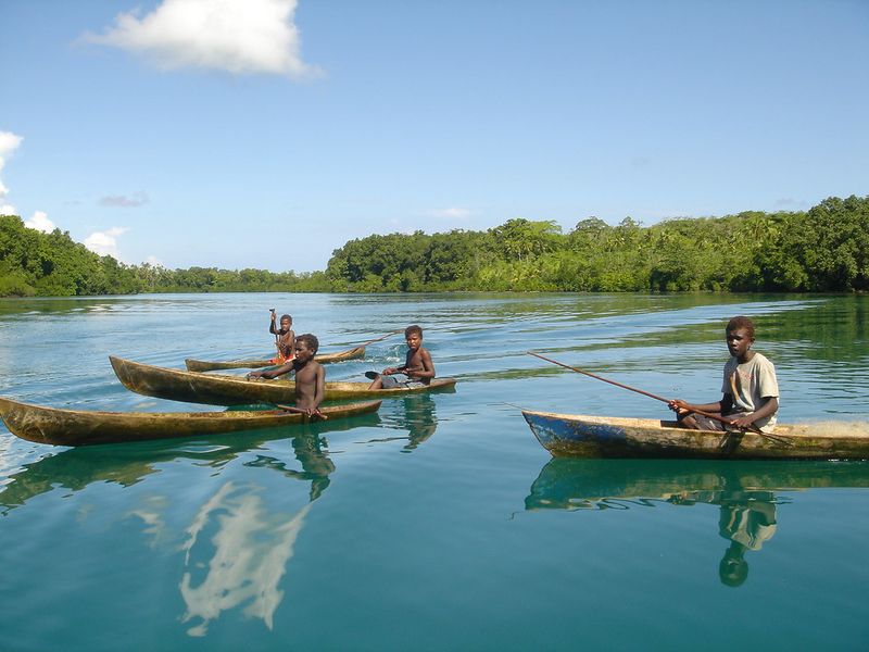
The Solomon Islands, scattered across the southwestern Pacific Ocean, face a relentless combination of tropical storms, high humidity, and seasonal monsoons. Annual rainfall in many parts of the archipelago exceeds 5,000 mm, and some islands receive considerably more depending on their elevation and exposure to trade winds.
Tropical cyclones sweep through the region regularly, dumping enormous amounts of rain in short periods. Communities have become remarkably resilient, building with local materials that handle flooding and strong winds better than modern structures.
Traditional knowledge about weather patterns passed down through generations remains genuinely valuable here.
The constant moisture supports spectacular coral reefs and dense jungle interiors that shelter rare birds and reptiles. Tourism focused on diving and ecotourism has grown because of this rich natural environment.
The rain that challenges daily life also creates the breathtaking scenery that draws visitors from around the world.
5. Panama
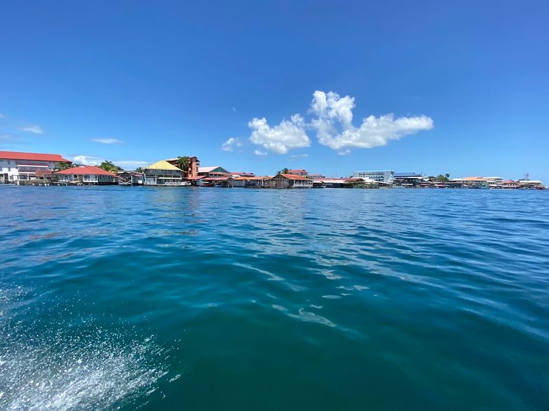
Panama sits at a geographical crossroads where the Caribbean Sea and Pacific Ocean influence create a climate drenched in rainfall. The Caribbean side of the country receives dramatically more rain than the Pacific side, with some areas accumulating over 6,000 mm annually.
Caribbean trade winds push moisture-laden clouds directly into the mountains, releasing heavy downpours.
The Panama Canal, one of the world’s most important waterways, actually depends on this rainfall to function. The Gatun Lake reservoir that powers the canal’s locks is fed entirely by rainwater collected across the surrounding watershed.
Without consistent heavy rainfall, global shipping would face serious disruptions.
Panama’s rainforests are among the most biologically rich in Central America. The country protects large areas of forest specifically to preserve water supplies.
Rain here is quite literally the engine that drives both the economy and the ecosystem in ways most people never realize.
6. Costa Rica
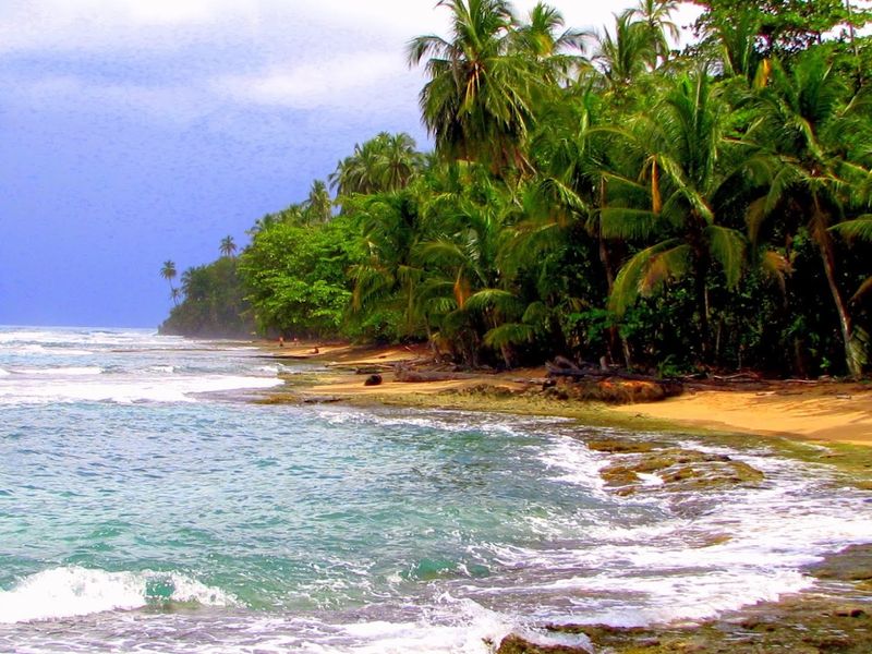
Costa Rica punches well above its weight when it comes to rainfall. The Caribbean coast and the famous cloud forests of Monteverde receive precipitation almost year-round, with some areas recording over 7,000 mm annually.
Even the drier Pacific side experiences a pronounced rainy season from May through November.
Cloud forests are a special feature of Costa Rica’s wet climate. These high-altitude forests are so saturated with moisture that water drips constantly from leaves even when it is not technically raining.
The air itself feels like a soft, cool mist, and visibility can drop to just a few meters in the densest areas.
Costa Rica has channeled its rainfall into an environmental success story. Nearly all of the country’s electricity comes from renewable hydropower, fueled entirely by rain-fed rivers.
The country is widely regarded as a global model for combining conservation with sustainable economic development.
7. Samoa
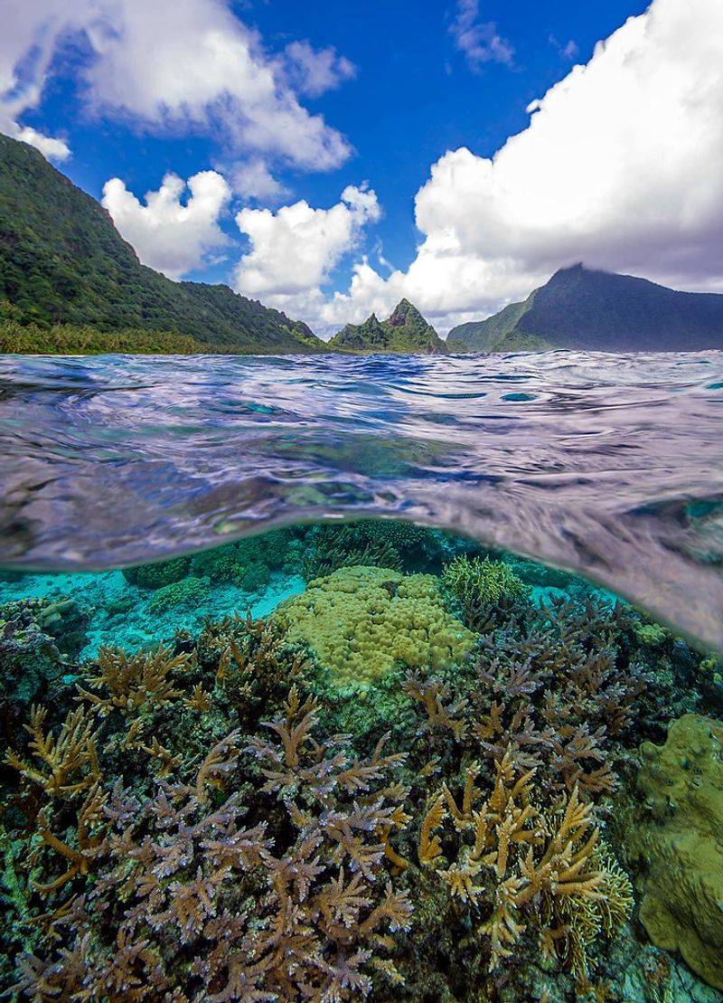
Samoa, a small nation nestled in the heart of the South Pacific, receives consistent and heavy rainfall throughout the year. Annual totals typically range between 2,800 mm and 7,000 mm depending on elevation and location across the islands.
The wet season runs from November through April, when tropical cyclones can dramatically boost totals in short bursts.
Rain shapes everything about Samoan life, from agriculture to architecture. Taro, breadfruit, and coconut, all staple foods, thrive in the island’s wet conditions.
Traditional Samoan homes, called fale, are open-sided structures that allow breezes to pass through, a design perfectly suited to warm, humid, rain-heavy weather.
The islands’ interior highlands are blanketed in tropical rainforest that supports unique bird species and plants. Samoan culture holds a deep respect for nature, and the rain that sustains the land is woven into local traditions, songs, and stories that have been passed down for centuries.
8. Brunei
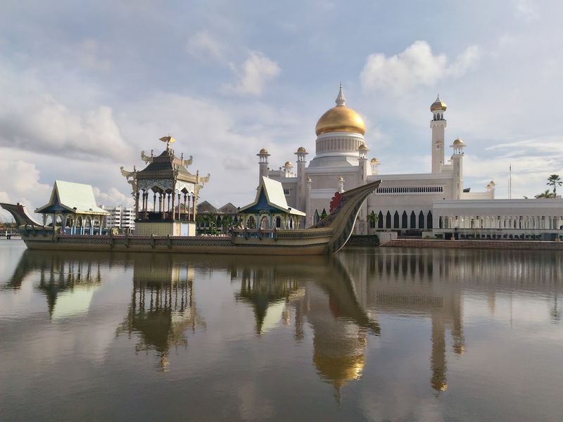
Brunei may be one of the smallest countries in Southeast Asia, but its rainfall statistics are anything but modest. This tiny nation on the island of Borneo receives around 2,900 to 4,000 mm of rain annually, spread fairly evenly across the year with no true dry season to speak of.
Most of Brunei’s land area remains covered in primary rainforest, which is extraordinary given how much development has occurred across the rest of Borneo. The country’s oil wealth has allowed it to maintain large protected forest reserves rather than clearing land for agriculture.
Rain falls almost daily, feeding rivers that flow through jungle untouched for hundreds of kilometers.
Wildlife thrives in Brunei’s wet forests. Proboscis monkeys, orangutans, and hornbills are among the remarkable species that call these rainforests home.
For a nation so small, Brunei’s contribution to global biodiversity conservation is genuinely impressive and worth recognizing.
9. Malaysia
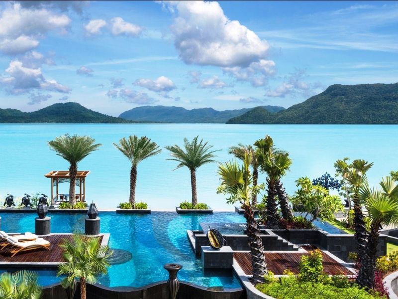
Malaysia experiences two monsoon seasons each year, and together they drench both Peninsular Malaysia and the states of Sabah and Sarawak on Borneo with between 2,500 mm and 5,000 mm of rainfall annually. The northeast monsoon from November to March and the southwest monsoon from May to September keep the landscape perpetually green and lush.
Kuala Lumpur, the capital, is known for its intense afternoon thunderstorms that roll in almost like clockwork during the wet season. Streets can flood within minutes of a downpour beginning, and locals have learned to always carry an umbrella.
Yet the city bounces back quickly, and life continues at its usual vibrant pace.
Malaysia’s ancient rainforests on Borneo are among the oldest on Earth, estimated at over 130 million years old. The relentless rainfall is what has kept them alive and thriving through ice ages, volcanic events, and centuries of human history.
10. Indonesia
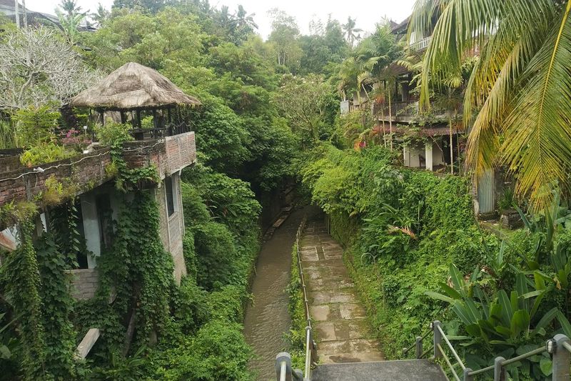
Indonesia is an archipelago of over 17,000 islands straddling the equator, and that geographic reality means rainfall is abundant, widespread, and often intense. Average annual rainfall across the country ranges from 1,780 mm to over 6,000 mm in equatorial regions, with Sumatra, Kalimantan, and Papua receiving the heaviest totals.
The country sits in a zone called the Intertropical Convergence Zone, where trade winds from both hemispheres meet and rise, generating massive thunderstorm activity. Rain here can be sudden and violent, with lightning storms that light up the sky for hours over the ocean between islands.
Indonesia’s rainfall supports the third-largest tropical rainforest in the world, after the Amazon and the Congo Basin. These forests are critical for global climate regulation, absorbing carbon and releasing moisture that influences weather patterns far beyond Southeast Asia.
Protecting them depends entirely on keeping the rain cycle intact.
11. Bangladesh
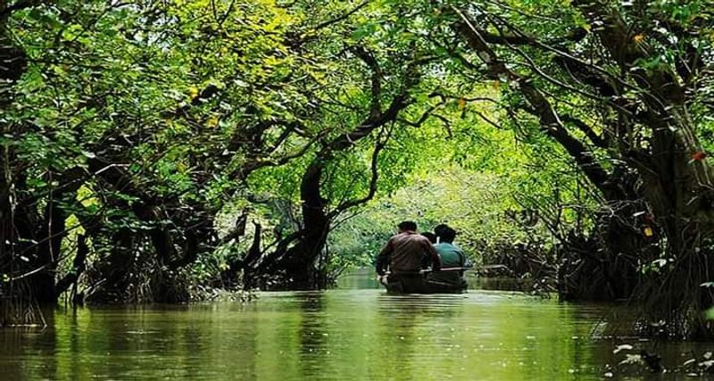
Bangladesh earns its place on this list through sheer monsoon intensity. The country receives an average of around 2,300 mm of rain annually, but this figure masks the dramatic concentration of rainfall during the monsoon season from June through September, when the vast majority of that water falls in just a few months.
Situated at the confluence of the Ganges, Brahmaputra, and Meghna rivers, Bangladesh also receives enormous runoff from Himalayan snowmelt and upstream rainfall across India and Nepal. Flooding is an annual reality for millions of Bangladeshis, with roughly one-third of the country regularly submerged during peak monsoon season.
Despite the challenges, Bangladeshis have developed remarkable flood-adapted farming techniques, floating gardens, and early warning systems. The fertile silt deposited by floodwaters actually makes the land extraordinarily productive for rice cultivation.
Resilience here is not just a word but a practiced, generational skill.
12. Sierra Leone
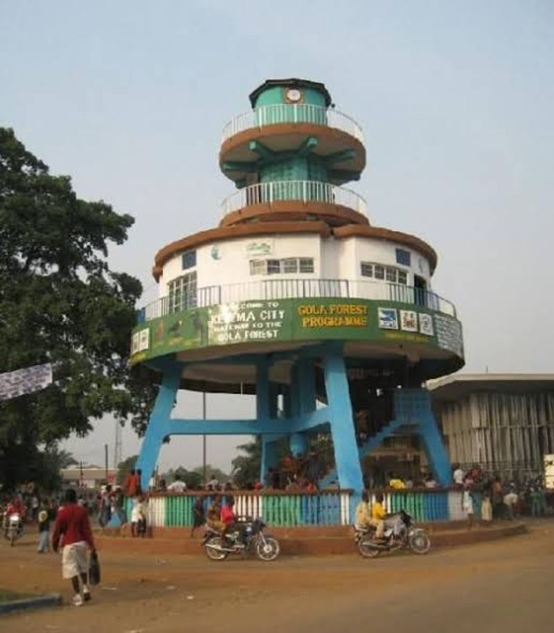
Sierra Leone holds the record as one of the wettest countries in Africa. Freetown, the capital, receives an astonishing average of around 3,500 mm of rain per year, and some coastal areas push well past 4,000 mm.
The wet season runs from May through October, and during peak months, rain can fall almost every single day.
The rainfall is driven by the West African Monsoon, which sweeps moisture from the Atlantic Ocean inland across the region each year. When it arrives, it arrives with force.
Torrential downpours can last for hours, turning roads into rivers and hillsides into waterfalls almost instantly.
Despite the challenges this brings for infrastructure and agriculture, the rainfall also supports lush tropical forests and important river systems. Sierra Leone’s rivers provide freshwater to millions and support fishing communities along the coast.
Managing this abundant water resource responsibly remains one of the country’s most important long-term priorities.
13. Equatorial Guinea
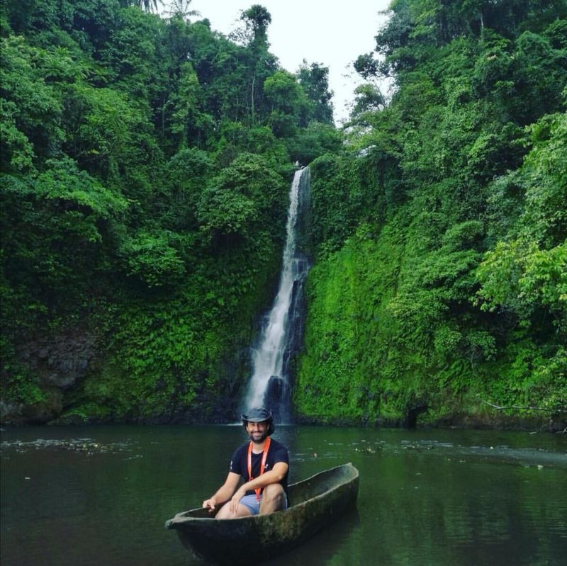
Equatorial Guinea lives up to its name in every meteorological sense. Straddling the equator on Africa’s west coast, this small country and its offshore islands receive between 1,800 mm and 10,000 mm of rainfall annually depending on location.
Bioko Island, where the capital Malabo is located, is particularly drenched due to its mountainous terrain and ocean exposure.
The country has two distinct rainy seasons each year rather than one, a pattern typical of equatorial climates. Rain arrives, briefly retreats, then returns again, keeping forests permanently saturated and rivers consistently full.
This double wet season means farmers must plan carefully to take advantage of both growing windows.
Equatorial Guinea’s forests are part of the Congo Basin ecosystem, one of the most carbon-rich forest zones on Earth. The country’s oil revenues have funded development, but conservationists are working to ensure that the forests, sustained by all that rain, are not sacrificed in the process.
14. Liberia
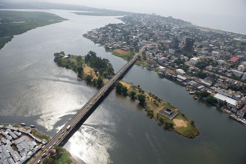
Liberia is one of the wettest countries in all of Africa, with average annual rainfall ranging from 1,800 mm inland to over 5,000 mm along the coast. Cape Mount and other coastal areas face the full force of Atlantic storm systems that roll in during the long wet season stretching from April through October.
The Upper Guinea Forest, which covers much of Liberia, is one of the most important and endangered forest ecosystems in the world. It survives because of the country’s extraordinary rainfall, which keeps the canopy dense and the biodiversity extraordinary.
Chimpanzees, forest elephants, and pygmy hippos all depend on this rain-fed habitat.
Liberia has faced enormous challenges, including civil conflict and the Ebola crisis, yet its natural environment has shown remarkable resilience. Conservation organizations are partnering with local communities to protect the forests, recognizing that preserving rainfall patterns is key to the country’s long-term ecological and economic health.
15. Philippines
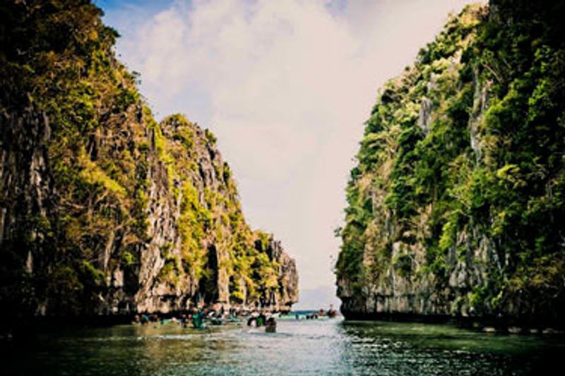
The Philippines is no stranger to water falling from the sky. Located in the western Pacific, the archipelago sits directly in the path of typhoons that form in the warm ocean waters to the east.
Around 20 typhoons affect the Philippines each year, and they deliver enormous rainfall totals in very short periods. Annual averages range from 1,000 mm in sheltered areas to over 4,000 mm in exposed eastern regions.
The southwest monsoon, locally called the Habagat, brings sustained heavy rain from June through September across the western side of the islands. Meanwhile, the northeast monsoon keeps the eastern side wet from October through March.
Essentially, somewhere in the Philippines is always in a rainy season.
Filipinos have developed a cultural acceptance of rain that is genuinely admirable. Flooding is a serious concern in urban areas like Manila, but communities adapt, innovate, and rebuild with a spirit of collective determination that defines the nation’s character.
Share this story