New Hampshire has a quiet habit of hiding its history in plain sight. Wander down the right forest path and you might stumble across a crumbling stone staircase rising out of nowhere, a cellar hole swallowed by tree roots, or the skeleton of a 19th-century mill standing beside a rushing brook. The Granite State has more forgotten foundations per square mile than most people realize, and each one comes with a story worth tracking down. This list covers 10 trails across New Hampshire where the destination is not just a viewpoint or a summit, but an actual piece of the past.
Some of these spots are well-known, others are delightfully under the radar, and a few will make you wonder how something so remarkable ended up so thoroughly forgotten. Lace up your boots and get ready to do a little time traveling on foot.
1. Monson Center, Milford, New Hampshire
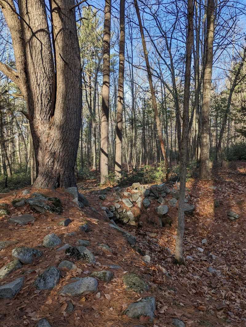
New Hampshire’s earliest inland colonial settlement does not have a museum or a visitor center. What it has is a three-mile trail system and a forest full of cellar holes that speak louder than any exhibit ever could.
Monson Center, straddling Milford and Hollis, thrived from 1737 to 1770 before being mysteriously abandoned. Today, this 269-acre property preserved by The Forest Society is considered one of New England’s most significant archaeological sites. Seven original stone foundations survive, along with old roads and stone walls that once organized a working colonial community.
Interpretive markers identify the homesteads of families like the Nevins, Bayley, and Brown, giving each cellar hole a human story. Fascinatingly, the original village had no school, meeting hall, or church, only a pound for stray cattle. The trails converge at a beaver wetland that also supports an active heron rookery, adding a lively natural bonus to an already historically rich walk.
2. Horatio Colony Nature Preserve, Keene, New Hampshire
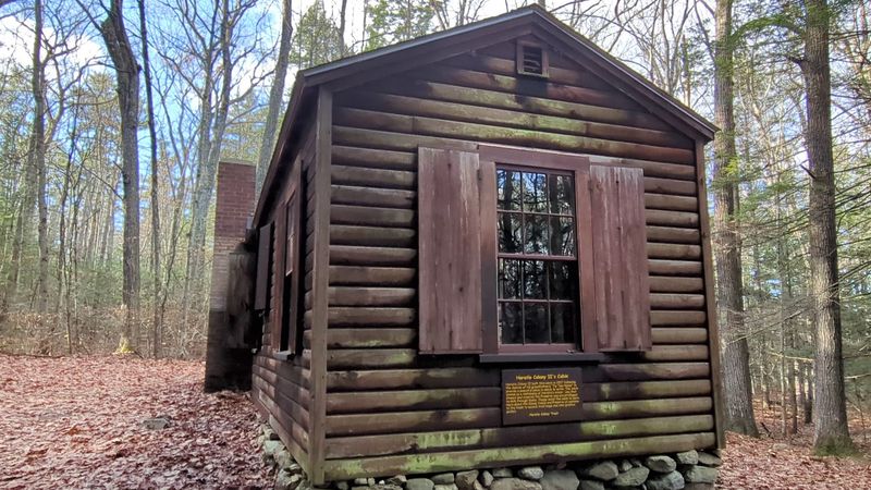
Not many woodland hikes come with a cast of characters as interesting as the Colony family, whose legacy is woven into every corner of this 645-acre preserve in Keene and Swanzey. Horatio Colony II established the sanctuary as a wildlife refuge through his will in 1977, but the family’s history here goes back much further.
The five miles of trails pass a rustic cabin built in 1937 by Horatio Colony II as a private writing retreat. Further along, hikers find the stone foundation and scattered cast iron remnants of the Tip Top House, a 19th-century summer cabin built by Horatio Colony I that was destroyed in the 1938 hurricane.
Interpretive signposts provide context at each historical point, so the walk functions as both a nature hike and a guided history lesson. Trail maps are available at the base of the Red Diamond Trail, a 1.7-mile moderate loop with views over Keene. Dogs are welcome on leash, and the preserve is open from dawn to dusk.
3. Homestead Forest and Trailhead, Ashland, New Hampshire
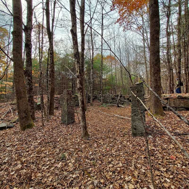
Thirteen separate farm lots once divided this corner of central New Hampshire into a working agricultural landscape. Today, those boundaries survive as miles of weathered stone walls threading through regenerated woodland at Homestead Forest, a 604-acre property managed by the Lakes Region Conservation Trust.
The four-mile trail network uncovers cellar holes and foundations from at least four or five farms active during the 1800s. The main loop begins on Lambert Road, following an abandoned section of a former thoroughfare that once connected neighboring towns. The Gibban Trail, just 0.6 miles long, leads to a family homestead site with visible cellar holes at an elevation of 1,200 feet.
For families with younger hikers, the preserve offers a Forgotten Farms Quest, an activity using rhyming clues and a map to locate a hidden box tucked somewhere in the woods. The Devil’s Den trail rounds out the loop with a steep ledge and a boulder field that delivers limited but satisfying views in the leaf-bare seasons.
4. Deering Wildlife Sanctuary – NH Audubon, Deering, New Hampshire
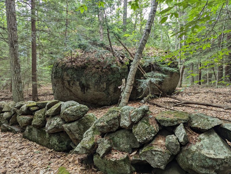
Around 1850, Deering was a busy agricultural community with farms covering most of its hillsides. Then westward expansion pulled people away, mills drew others to industrial centers, and the farms were gradually left behind. What remained were stone walls, cellar holes, and eventually a wildlife sanctuary managed by NH Audubon.
The Patten Farm Trail, marked by red blazes, forms a 1.2-mile loop with Clement Hill Road and passes two cellar holes at an easy, relatively flat grade. A short detour off Clement Hill Road reaches the Patten Cemetery, established in 1800, where some of Deering’s founding families are buried.
The stone walls running through the sanctuary’s woods make the agricultural past surprisingly easy to picture, even as maturing white pine and beaver meadows reclaim the former pastures. NH Audubon has designated the sanctuary a Watchable Wildlife area, so visitors can pair historical curiosity with genuine wildlife observation on the same walk. Trail conditions are generally beginner-friendly throughout the year.
5. Musquash Conservation Area, Londonderry, New Hampshire
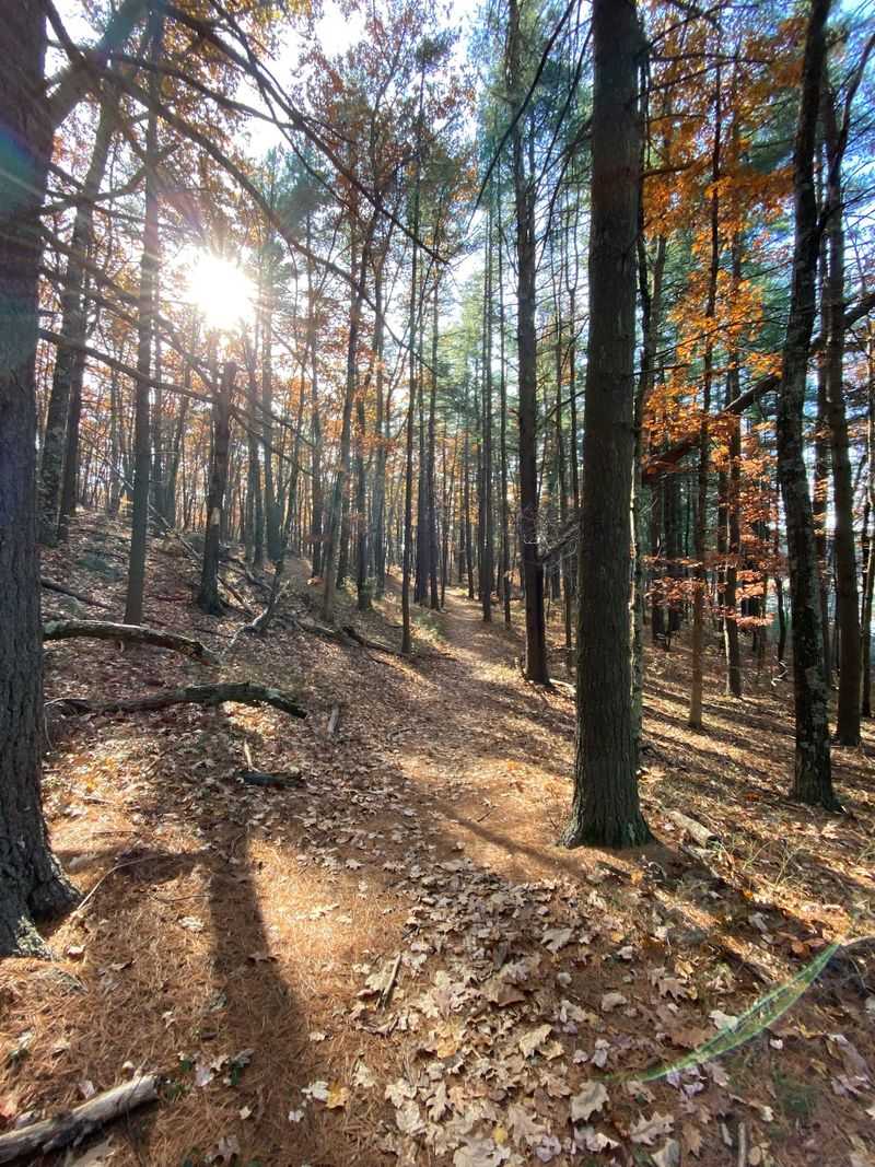
More than 20 miles of managed trails spread across 1,000-plus acres in southern New Hampshire, and Musquash Conservation Area manages to feel genuinely remote despite being surrounded by one of the state’s faster-growing regions. The conservation area dates to 1979 and has a history that stretches back through colonial ownership transfers from Massachusetts to Nashua before Londonderry acquired the land.
Along the Musquash Loop, interpretive markers identify old homestead sites and two cellar holes partly hidden by seasonal foliage. Local historian David J. Ellis researched these sites extensively, documenting their significance in his work on the area’s cellar holes, roads, and historical features. Those modest stone remnants carry real stories once you know where to look.
The terrain mixes rocky stretches, wetland crossings, and quieter forest sections, keeping the hike interesting throughout. Multiple parking areas serve the trail network, and a mobile app provides detailed maps for navigating the property. Autumn is a particularly good time to spot the cellar holes, when fallen leaves reveal stonework that summer greenery tends to conceal.
6. Moose Mountains Reservation Trailhead, Middleton, New Hampshire
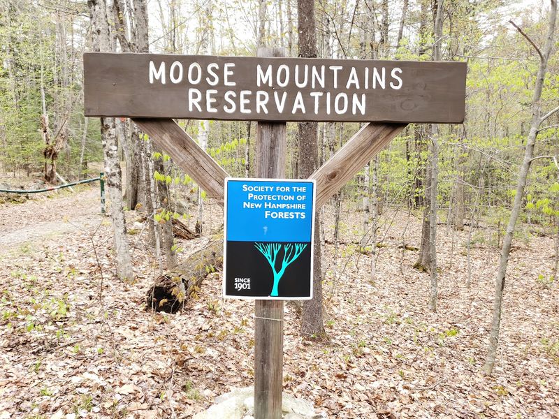
Nearly 2,800 acres of rewilded New Hampshire countryside wait at Moose Mountains Reservation, a conservation area in Middleton that was protected in 2006 and has been quietly reclaiming its 18th-century farmland roots ever since. With more than eight miles of trails, woods roads, and snowmobile corridors, this is a place built for a full day of exploring.
Scattered across the reservation are cellar holes and old cemeteries, including the Burrows Cemetery, which a dedicated trail leads to along with the site of the former Burrows Farm, marked by a plaque. These remnants sit within a landscape that now feels remarkably undeveloped, making the contrast between past settlement and present wilderness especially striking.
Phoebe’s Nable, a small peak accessible via a 1.2-mile round trip, offers partial views to the south. Beauty Ledge, reached from the North Trail, delivers more expansive scenery. Pockets of unusual pitch pine forest and a heron rookery add ecological interest to a reservation that already has plenty going for it on the historical front.
7. Winnipesaukee River Trail, Franklin, New Hampshire
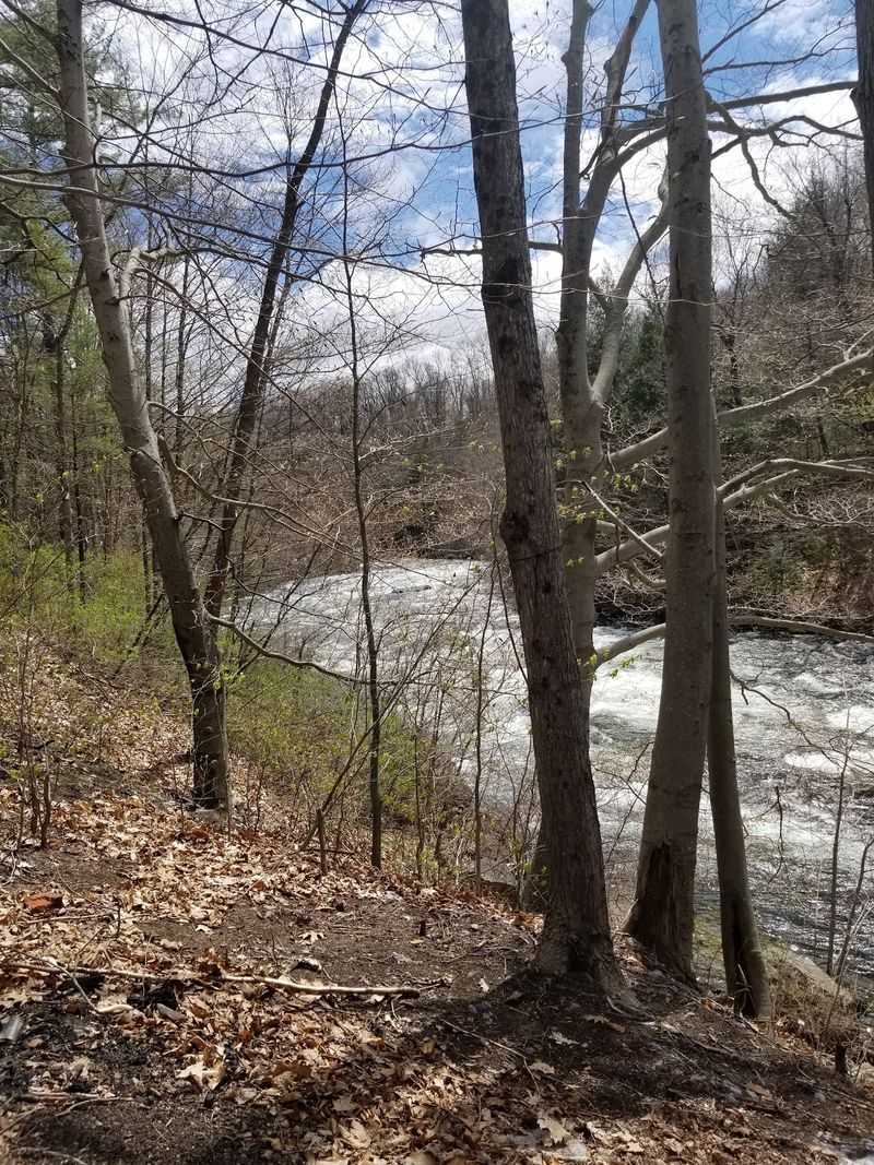
Built in 1896 and 1897, the Sulphite Bridge in Franklin holds a distinction that no other bridge in the United States can claim: it is the only one of its design where the rail bed runs across the roof of the bridge rather than through its interior, protecting the trusses below. That quirky engineering decision is now one of the most photographed features along the Winnipesaukee River Trail.
The nearly five-mile multi-use trail follows an old rail line connecting Tilton, Northfield, and Franklin, tracing the industrial history of the Winnipesaukee River corridor. Rail service ended in 1973, and a fire damaged the bridge’s interior in 1980, but the masonry structure still stands and is listed on the National Register of Historic Places.
Remnants of old paper mills and dams appear along the route, and a massive flywheel from a former textile mill marks the western trailhead at Trestle View Park. The river runs alongside much of the trail, giving the industrial relics a naturally dramatic backdrop throughout the walk.
8. Trescott Water Supply Lands, Hanover, New Hampshire
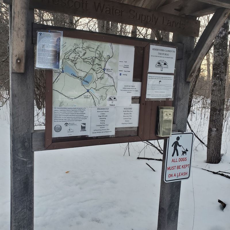
Ten thriving farms once occupied this stretch of Hanover countryside, and by 1912 every one of them was gone, dismantled when the town established the Hanover Water Works and concerns about fire and typhoid ended human habitation on the property. What the forest has preserved in their place is remarkable.
The 1,165-acre Trescott Water Supply Lands, co-owned by the Town of Hanover and Dartmouth College, contain numerous cellar holes and stone walls marking former homesites. Mason’s Four Corners, a trail junction in today’s woods, was once the center of a small neighborhood with roads, farms, and a one-room schoolhouse. Specific sites like the Johnson-Camp Farm and Wright-Mason Farm cellar holes can be located with a good trail map.
Open to public recreation since 2016, the trails here support hiking, biking, and other activities, though dogs must remain leashed and reservoirs are off-limits to protect the drinking water supply. Walking through the Trescott lands offers one of the clearest pictures anywhere in New Hampshire of how completely a settled landscape can be reclaimed by nature in just two centuries.
9. Livermore Ghost Town, White Mountains, New Hampshire

Deep in the White Mountains sits the remains of an entire logging community that once had a school, company store, sawmill, railroad, and nearly 200 residents. Livermore grew along the Sawyer River in the late 1800s, but today its brick walls and foundations are scattered quietly through the forest.
The ruins begin roughly two miles along Sawyer River Road from U.S. Route 302. Look closely beside the road and among the trees for the remains of the old powerhouse, sawmill, schoolhouse, homes, and Saunders family mansion, along with a large cast-iron safe still sitting inside the former store’s cellar hole.
Livermore’s decline came surprisingly quickly. Fires, the loss of its railroad in the devastating 1927 flood, and the exhaustion of valuable timber steadily emptied the settlement until its population reached zero by 1950; New Hampshire revoked the town charter the following year. The Sawyer River Trail now follows the old transportation corridor through the former village, turning a woodland hike into one of the most atmospheric walks through industrial history in the state.
10. Madame Sherri House, West Chesterfield, New Hampshire
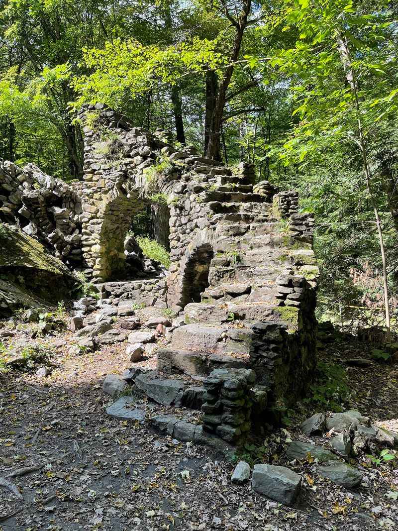
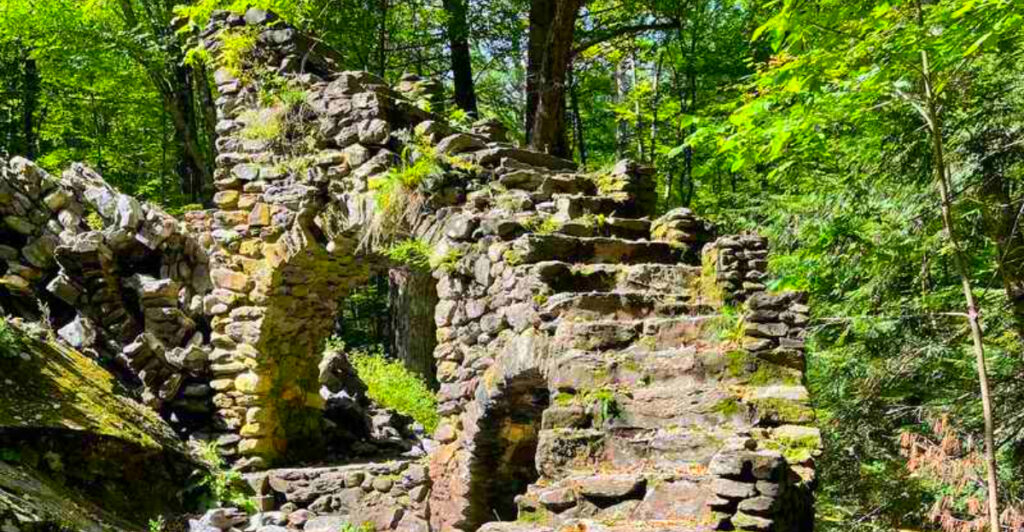
A stone staircase that leads nowhere, rising dramatically from the forest floor, is not something most hikers expect to find in New Hampshire. That is exactly what waits at Madame Sherri Forest in West Chesterfield, where the ruins of a French-inspired chateau built in 1930 still stand as a testament to one very theatrical life.
Antoinette Sherri, a Parisian costume designer, used this property as a summer retreat famous for its lavish parties. The chateau burned in 1962, leaving only the foundation, chimneys, and that now-iconic stone staircase. A short walk from the Gulf Road trailhead brings visitors face to face with the remains.
Worth noting: the upper portion of the staircase collapsed in July 2021 and is roped off for safety. The 513-acre forest also offers the Ann Stokes Loop to Indian Pond and the Mine Ledge Trail up Wantastiquet Mountain, making the ruins just one highlight of a genuinely rewarding visit.
Share this story