Most people think of the Mississippi River as wide, flat, and slow-moving. But there is one stretch in Minneapolis where the river cuts through solid limestone and sandstone bedrock, carving out the only true gorge along its entire 2,340-mile length.
That geological oddity happens to have a trail running right through it, hugging the bluff walls and river’s edge in ways that feel more like the Pacific Northwest than the Upper Midwest. If you have never heard of Winchell Trail, you are about to wonder why it took this long to find it.
The Only True Gorge on the Mississippi River
Most rivers meander. The Mississippi, for most of its length, is no exception.
But there is one place where the river drops sharply through bedrock, forming a genuine gorge with steep walls rising over 100 feet above the waterline.
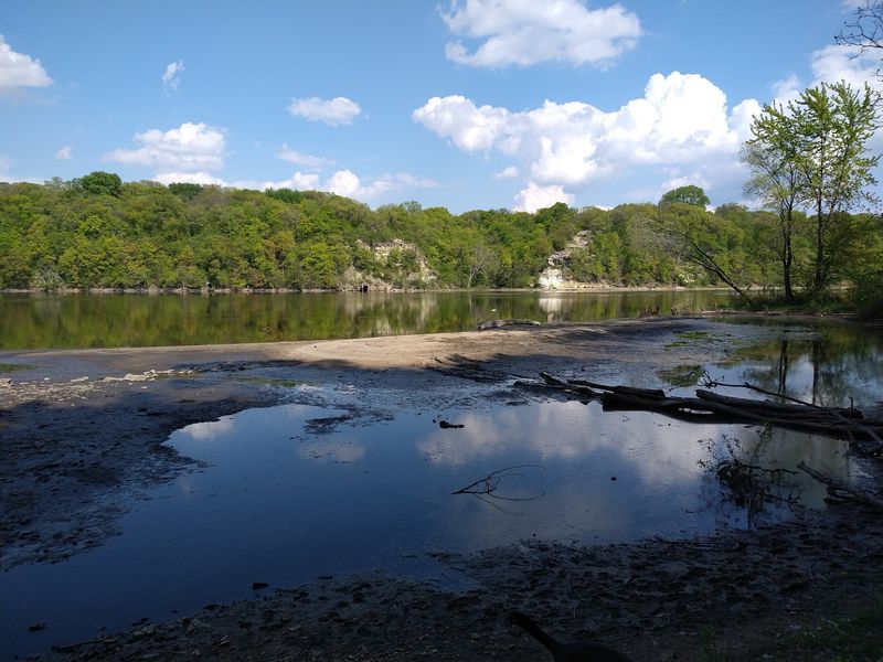
This stretch between downtown Minneapolis and the Ford Bridge is the only true gorge on the entire Mississippi River. Geologists point to the retreat of glaciers and the erosion of soft sandstone beneath harder limestone as the forces that shaped it over thousands of years.
Standing at the base of those bluffs, you can actually see the distinct rock layers exposed in the cliff faces. It is a rare geological feature hiding in plain sight inside a major American city.
Most visitors to Minneapolis have no idea this gorge even exists, which makes discovering it feel genuinely surprising.
Where Winchell Trail Begins and What to Expect
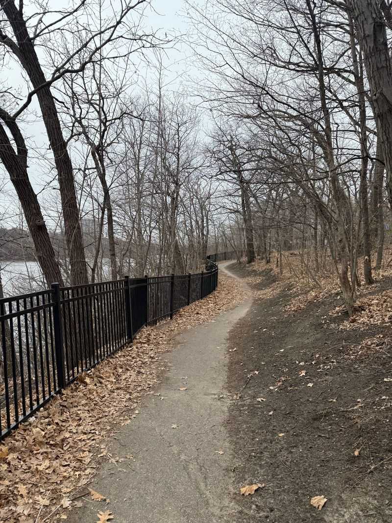
Winchell Trail runs along the east bank of the Mississippi River in south Minneapolis, Minnesota, tracing the base and upper edge of the gorge bluffs for roughly 3.5 miles. The trail starts near East River Parkway and weaves through a corridor that feels surprisingly wild for an urban park.
The path is officially part of the Minneapolis Grand Rounds Scenic Byway system and sits within the Mississippi River Regional Park. The lower section of the trail hugs the riverbank closely, while upper segments climb the bluff and offer elevated views across the water.
Expect a mix of packed dirt, exposed roots, and some rocky sections. The terrain is moderate, meaning it is manageable for most hikers but not a casual stroll.
Trail shoes with good grip make a real difference here, especially after rain when the clay soil gets slippery.
The Feeling of Being Swallowed by the Bluffs
Walking the lower portion of the trail puts you right between the bluff wall and the river’s edge. The cliff rises sharply on one side while the Mississippi flows quietly on the other.
It creates a narrow, enclosed feeling that is genuinely rare inside a city park.
The bluff walls here are not just dramatic visually. They also muffle city sounds in a way that makes the trail feel far more remote than it actually is.
Traffic noise from nearby roads fades almost completely in certain sections.
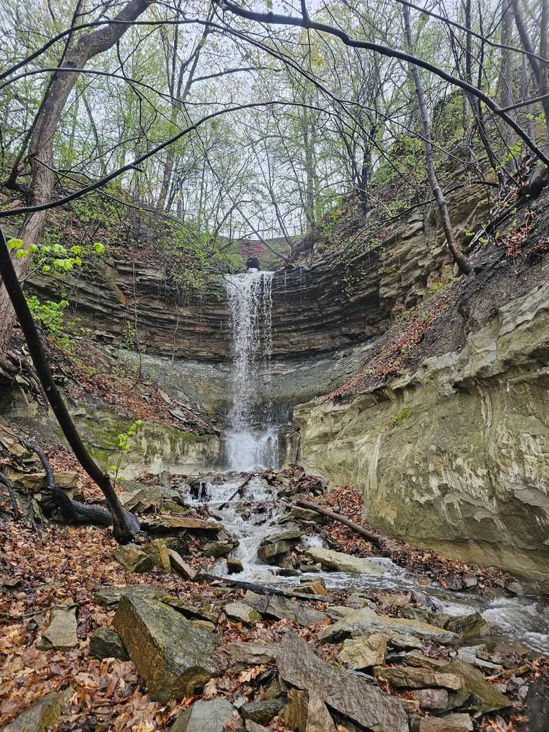
The exposed rock layers in the cliff face tell a clear geological story, with softer sandstone sitting beneath harder cap limestone. You can see where erosion has carved small overhangs and alcoves into the wall.
Some sections have ropes installed to help hikers navigate steeper scrambles along the lower path.
Why the Views From the Upper Trail Are Worth the Climb
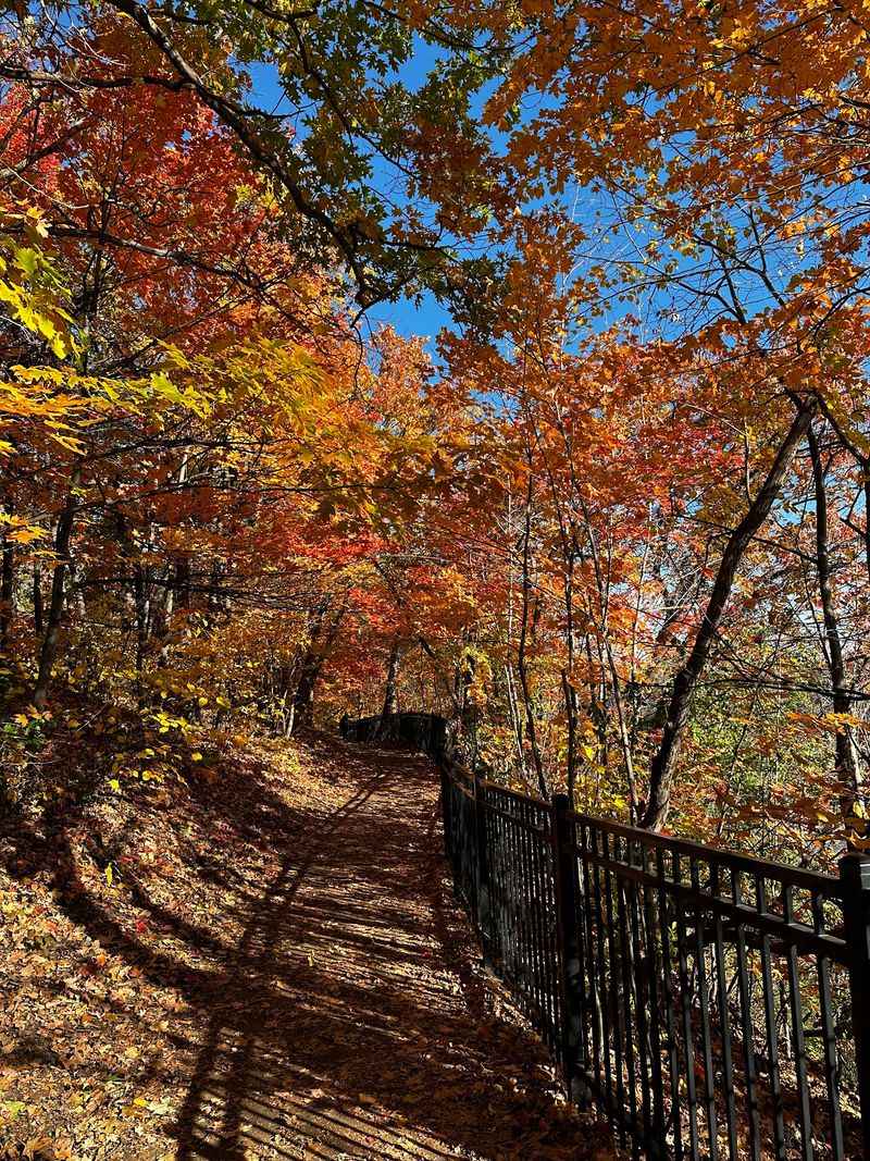
The upper section of Winchell Trail rewards climbers with some of the best river views available in the Twin Cities. From the bluff top, the gorge opens up below you, and the far bank of the Mississippi stretches out in a wide green ribbon.
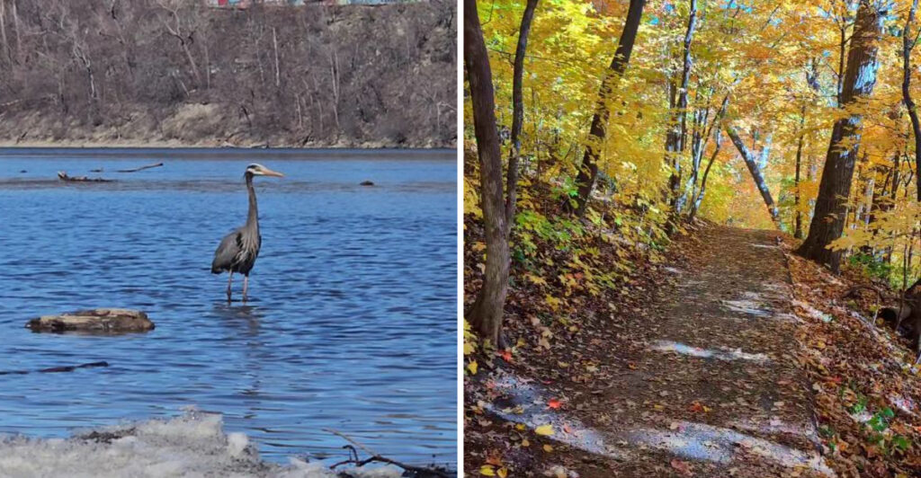
In fall, this view becomes genuinely stunning. The oak, maple, and cottonwood trees covering the slopes turn gold and rust, layering color from the river’s edge all the way up the bluff face.
Photographers tend to gather at certain overlook points during peak color weeks.
What makes these views distinct from other riverside parks is the depth of the gorge itself. You are not just looking across a flat river.
You are looking down into a canyon, which gives the scene a vertical drama that flat-bank river parks simply cannot match. The difference is immediately noticeable.
The Wildlife Living Inside the Gorge
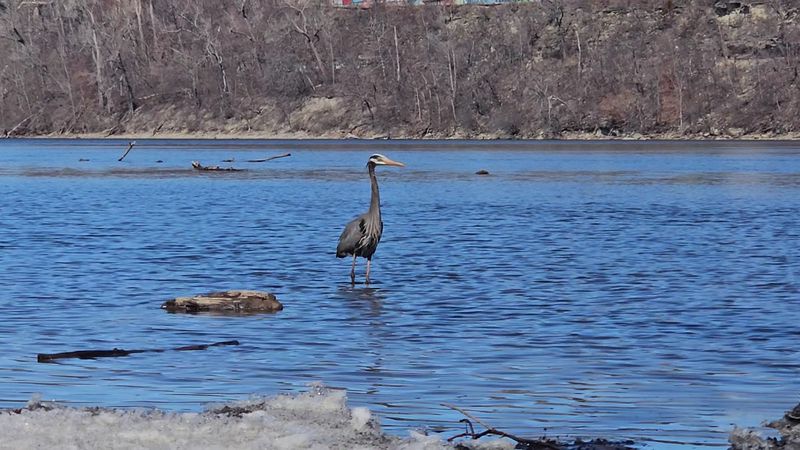
The gorge corridor functions as a natural wildlife sanctuary tucked inside the city. Great blue herons are a common sight along the riverbank, standing motionless in the shallows with the patience of experienced anglers.
Bald eagles have also been spotted hunting along this stretch of river regularly.
The steep bluff walls and dense tree canopy create habitat layers that support a wide variety of bird species. Birders make regular visits specifically to the gorge corridor during spring and fall migration periods, when the river acts as a natural flyway.
White-tailed deer are frequently seen on the lower trail, especially in early morning hours when foot traffic is light. River otters have also been documented in the gorge, though spotting one requires patience and a bit of luck.
The biodiversity here consistently surprises first-time visitors expecting a typical city park experience.
The History Behind the Trail’s Name
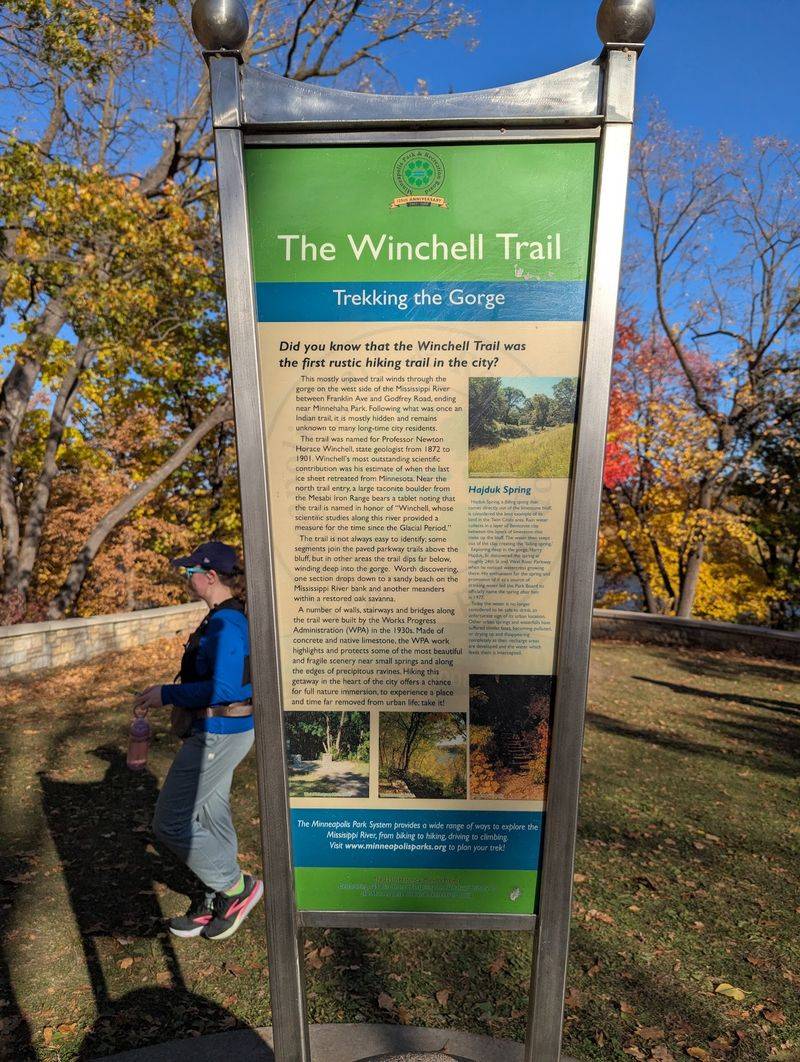
The trail carries the name of Newton Horace Winchell, who served as Minnesota’s first state geologist beginning in 1872. Winchell spent years studying and documenting the geology of the Mississippi River gorge, recognizing its scientific significance at a time when most people saw it simply as a transportation corridor.
His detailed surveys of the gorge’s rock layers helped establish a foundational understanding of the region’s geological history. Naming the trail after him connects the physical experience of walking through the gorge with the scientific curiosity that first made the gorge worth understanding.
That connection between place and person gives the trail a richer context than most urban paths carry. You are not just hiking through a pretty canyon.
You are walking terrain that a dedicated scientist spent years carefully mapping and studying. That history adds a quiet layer of meaning to every step along the bluff.
How the Trail Changes With Each Season
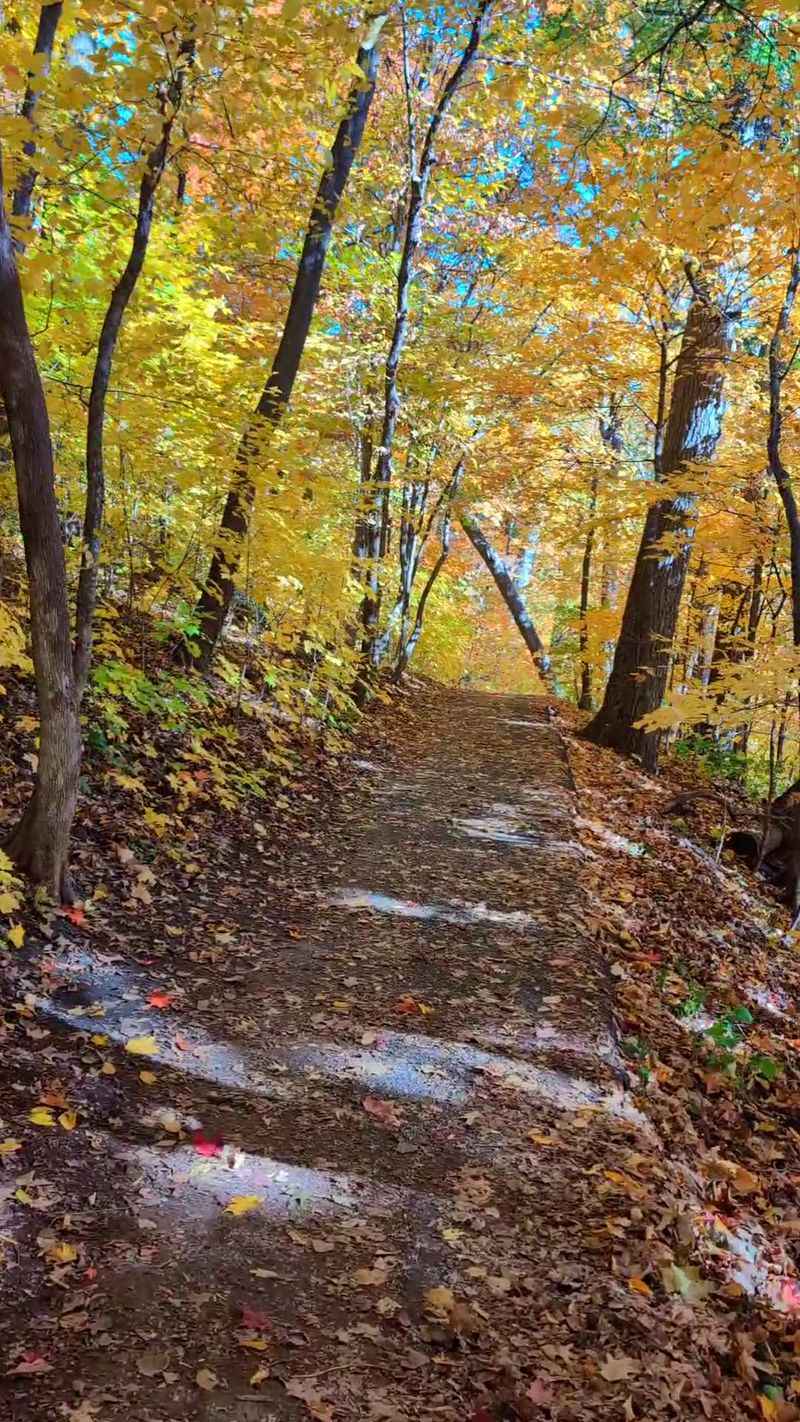
Winchell Trail genuinely transforms with the seasons in ways that make repeat visits feel like entirely different experiences. Spring brings wildflowers along the bluff slopes and migrating birds moving through the gorge corridor.
The river runs high and fast after snowmelt, adding energy to the lower trail sections.
Summer wraps the path in a dense green canopy that keeps the trail noticeably cooler than surrounding neighborhoods. The shade makes it a popular midday escape during Minneapolis heat waves, and the river glitters through the tree gaps.
Fall is widely considered the peak season for the trail, with the gorge slopes turning vivid shades of orange and gold. Winter offers its own quieter appeal.
Snow-covered bluffs and a partially frozen river create a stark, beautiful scene, and the bare trees finally reveal the full scale of the gorge walls that summer foliage conceals.
The Rock Layers You Can Read Like a Book
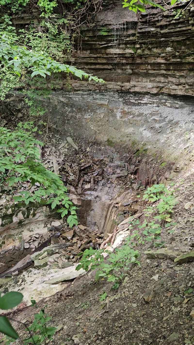
One of the most genuinely fascinating aspects of this trail is what the bluff walls actually show you. The exposed rock face is a cross-section of geological time, with layers of St. Peter Sandstone sitting below the harder Platteville Limestone that caps the bluff.
The sandstone erodes faster than the limestone above it, which is exactly why the gorge formed the way it did. As the softer sandstone wore away, the limestone above eventually collapsed, steepening the walls and deepening the canyon over thousands of years.
You can see this process still actively happening in small ways. Sections of the lower bluff show fresh erosion, and occasional rock falls have deposited rubble along the trail base.
Trail managers have had to close and reroute sections of the lower path over the years specifically because of ongoing bluff erosion and safety concerns.
Trail Closures and What They Mean for Visitors
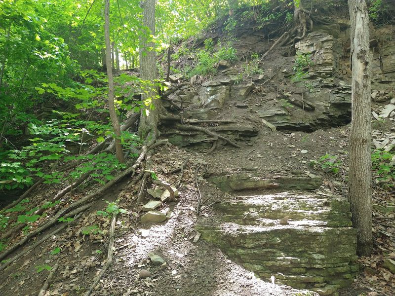
Sections of Winchell Trail, particularly the lower riverside path, have faced periodic closures due to bluff erosion. The same geological forces that make the gorge visually dramatic also make certain trail segments genuinely unstable over time.
The Minneapolis Park and Recreation Board has worked on stabilization efforts along the bluff, and some lower trail segments have been closed for extended periods while restoration work takes place. Before visiting, checking the Minneapolis Parks website for current trail conditions is a smart move that saves frustration at the trailhead.
The upper trail sections typically remain accessible even when lower paths are closed. Signage along the trail is generally clear about which sections are open.
The closures are a reminder that this is not a manicured park path but a real natural corridor where the landscape is still actively changing beneath your feet.
The Connecting Trails That Extend the Experience
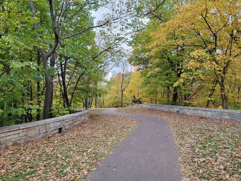
Winchell Trail connects to a broader network of paths within the Mississippi River Regional Park, which means you can extend a visit well beyond the gorge corridor itself. The paved East River Parkway trail runs parallel above the gorge for much of its length, offering an easier alternative for cyclists or those who want a less rugged surface.
Minnehaha Regional Park sits at the southern end of the gorge stretch, with its famous waterfall and additional trail connections. Hikers who time their visit well can combine Winchell Trail with a walk to Minnehaha Falls in a single outing without backtracking significantly.
The northern end of the trail connects toward the Lake Street bridge area, where river access points and additional parkland continue the corridor. The interconnected trail system means that Winchell Trail functions as the dramatic centerpiece of a much larger riverside experience worth exploring fully.
Practical Tips for Getting the Most From Your Visit
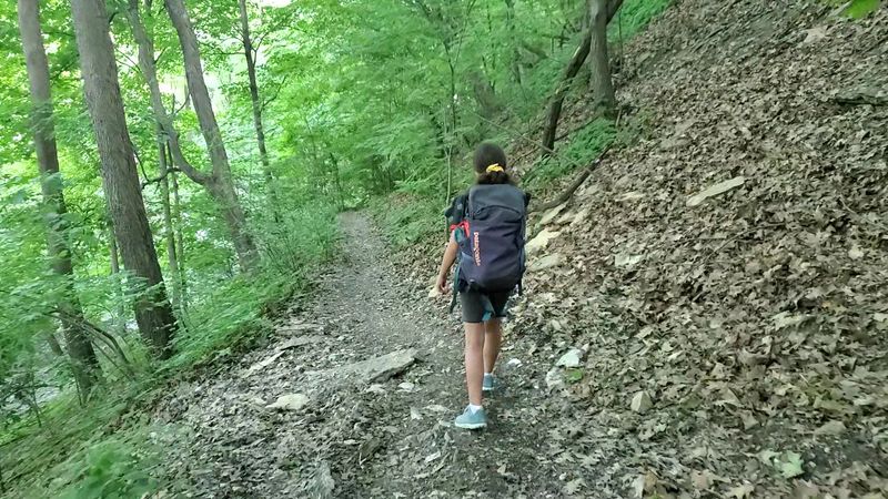
A few practical details make a genuine difference on this trail. Parking is available at several pull-offs along East River Parkway, and the trailhead near the Becketwood cooperative at the north end is a common starting point.
Morning visits on weekdays tend to offer the quietest experience.
Trail shoes with real traction are strongly recommended, particularly for the lower gorge sections where roots and wet clay can be unpredictable. Bringing water is wise since there are no facilities along the trail itself.
The full out-and-back route runs roughly seven miles if you cover both lower and upper sections completely.
Dogs are welcome on leash, and the trail is popular with local dog walkers who use it regularly. Binoculars add significant value for birdwatching along the river.
Arriving at dawn during spring migration turns a good hike into a genuinely memorable one with very little extra effort required.
Why This Trail Stays With You After You Leave
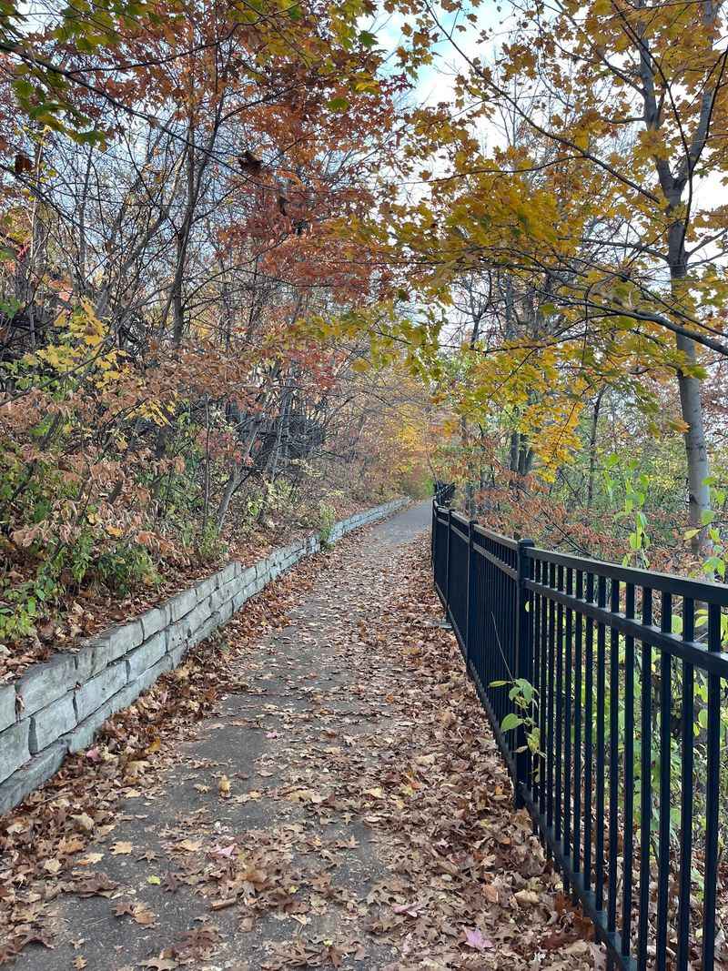
There is something specific about walking inside a gorge inside a city that recalibrates your sense of place. The scale of the bluff walls, the sound of the river moving below the trail, and the visible geology in the cliff face all combine into an experience that feels bigger than a simple park walk.
Most urban trails offer scenery as a backdrop. Winchell Trail puts you inside the scenery in a way that is hard to replicate elsewhere in the region.
The gorge surrounds you rather than simply passing by, and that physical immersion is what people tend to talk about after their first visit.
Returning visitors often say the trail reveals something new each time, whether that is a seasonal change in the light, a bird species they have not noticed before, or a section of bluff wall that looks different after recent erosion. That quality of ongoing discovery keeps the trail genuinely compelling long after the first walk.
Share this story