Nearly 230 miles of the Appalachian Trail cross Pennsylvania, and hikers have given this stretch a nickname that says plenty about what waits underfoot: Rocksylvania. Sharp quartzite, boulder fields, and rough ridgelines can turn even an ordinary-looking section into a serious test of balance and patience.
But the rocks are only part of the experience. The trail also crosses quiet farmland, dramatic river gaps, small towns that actively welcome hikers, and overlooks such as The Pinnacle and Pulpit Rock.
Then there is the symbolic midpoint of the entire Appalachian Trail, where thru-hikers celebrate with a half-gallon ice cream challenge beside the country’s only museum dedicated entirely to the trail and hiking culture. Those unexpected stops are what make Pennsylvania’s section far more interesting than its punishing reputation suggests.
Where the Trail Begins and Ends in the Keystone State
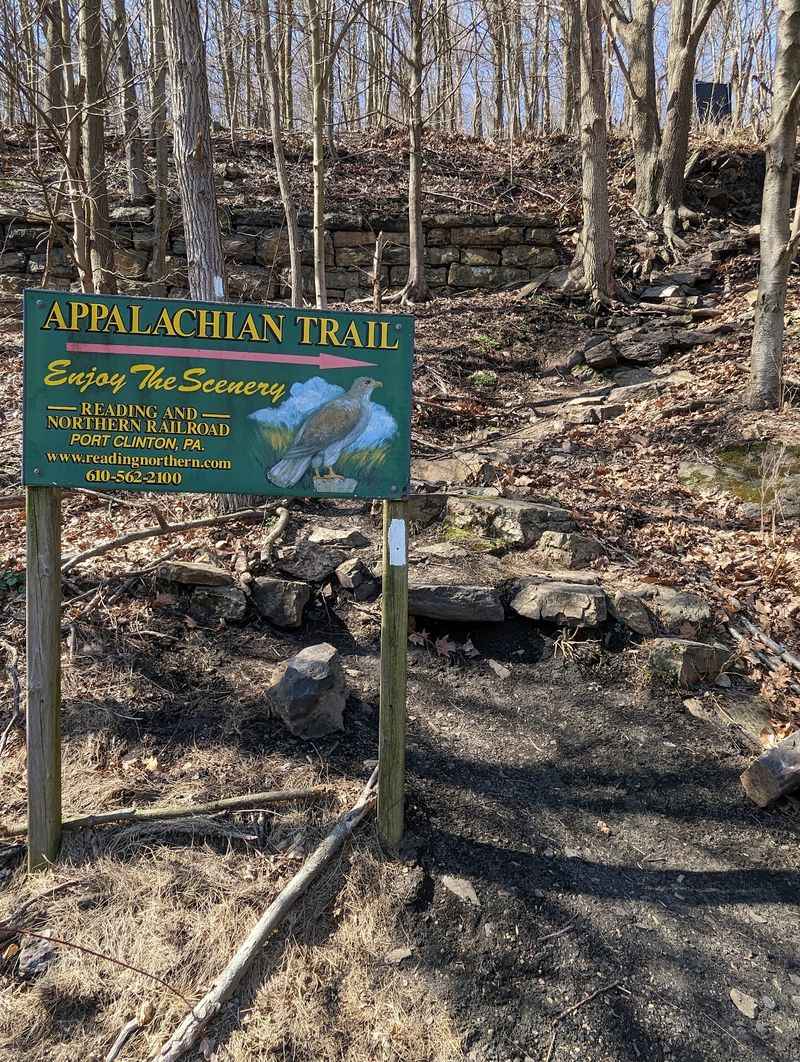
Most people picture the Appalachian Trail as one long, unbroken wilderness, but Pennsylvania gives it a distinct beginning and end that feel almost ceremonial. The trail enters the state at Pen Mar, a small community sitting right on the Maryland border in the south, and exits at the Delaware Water Gap in the northeast, where the path crosses into New Jersey over the Delaware River.
That 229.6-mile stretch covers a surprising range of terrain, from the flat and almost meditative farmland of the Cumberland Valley to the jagged, ankle-testing ridgelines that earned the state its famous nickname. The Appalachian Trail Conservancy’s Mid-Atlantic Regional Office is located at 4 East 1st Street, Boiling Springs, PA 17007, right along the trail corridor, making it a natural checkpoint for planning your journey.
Knowing the entry and exit points helps you appreciate how much ground the trail actually covers here, and how many distinct landscapes it stitches together across one remarkable state.
Earl Shaffer and the Trail’s Pennsylvania Roots
The Appalachian Trail’s most legendary chapter was written by a Pennsylvania native. Earl Shaffer, a World War II veteran from York, Pennsylvania, completed the first documented thru-hike of the entire trail in 1948, walking from Georgia to Maine in one continuous journey at a time when most people considered the feat impossible.
Shaffer described his motivation simply: he wanted to walk the war out of his system. His success not only proved the trail could be hiked end to end but also ignited the imaginations of countless adventurers who followed in his footsteps in the decades since.
The trail itself had been completed in 1937, just eleven years before Shaffer’s historic walk, following a vision first proposed by forester Benton MacKaye in 1921.
Pennsylvania also hosted some of the earliest proto-trail routes, including sections of the Darlington Trail, considered one of the state’s first modern hiking trails, built around 1918. That deep history gives every step through the Keystone State a quiet sense of walking in the footsteps of pioneers.
The Rocky Truth Behind the ‘Rocksylvania’ Nickname
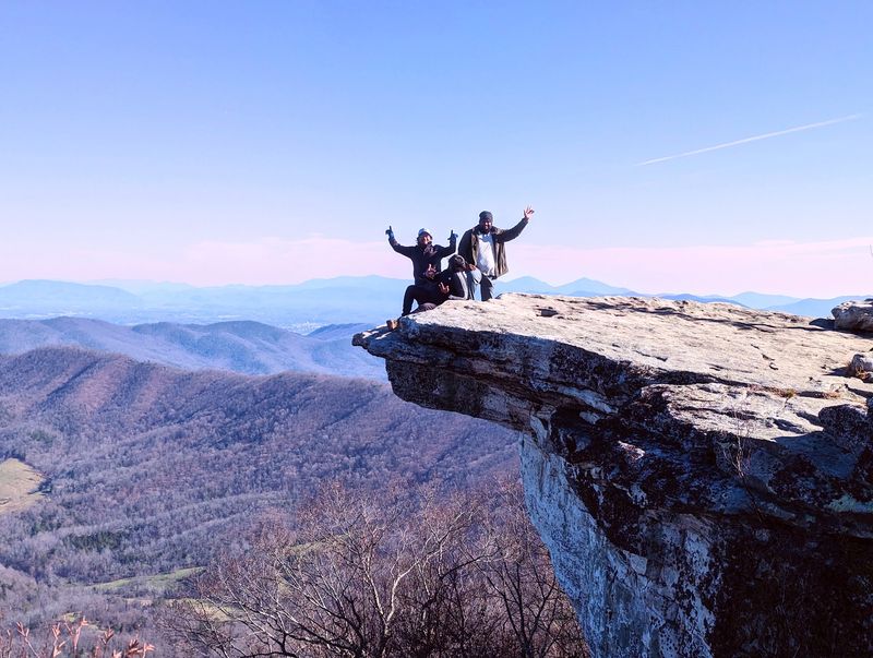
No nickname in the hiking world is more honestly earned than ‘Rocksylvania.’ The northern half of Pennsylvania’s Appalachian Trail corridor is paved, and I use that word loosely, with sharp, angular rocks that seem almost deliberately arranged to challenge every step you take.
These are not smooth river stones you can shuffle across comfortably. Many sections feature quartzite and conglomerate formations that require careful foot placement, and some scrambles demand that you use your hands as much as your feet.
The Lehigh Gap section is a prime example, where the ascent over exposed rock faces gives your core and your confidence a serious workout.
Experienced hikers recommend trail runners or boots with excellent ankle support, and trekking poles become less of a luxury and more of a survival tool on the rougher stretches. Once you accept the rocks as part of the experience rather than an obstacle, the trail transforms from a frustration into a fascinating puzzle worth solving one careful step at a time.
A Geological Story Millions of Years in the Making
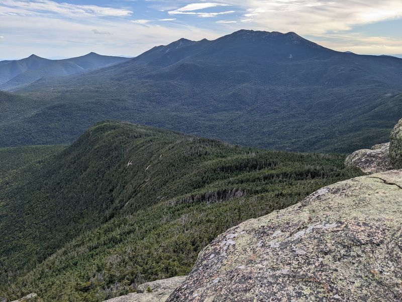
Every rock you trip over on this trail has a history stretching back hundreds of millions of years, which makes the stumbling feel slightly more educational. Pennsylvania’s section of the Appalachian Trail crosses through the Ridge and Valley Province, a region shaped by ancient seas, continental collisions, and the slow grind of erosion over geological time.
The rocks here date from the Cambrian period all the way through the Pennsylvanian, with some Jurassic and Pleistocene influences adding extra layers to the story. The segment between the Delaware Water Gap and Swatara Gap is particularly striking, where the trail follows a single ridge of deformed quartzite and conglomerate that speaks directly to the enormous forces that once buckled this landscape.
Further south, the trail crosses Ironstone Ridge, formed by a Jurassic-age diabase dike, a detail that sounds almost unbelievable when you are standing on it. This geological diversity means no two miles feel identical, and the landscape keeps surprising you with new textures, colors, and formations at every turn.
Pine Grove Furnace State Park and the Half-Gallon Challenge

Somewhere around mile 1,094 of the entire Appalachian Trail, right in the middle of Pine Grove Furnace State Park, sits one of the trail’s most celebrated traditions. The symbolic midpoint of the 2,190-plus-mile journey from Georgia to Maine falls here, and thru-hikers mark the occasion with what has become known as the half-gallon challenge.
The challenge is exactly what it sounds like: eat a full half-gallon of ice cream at the Pine Grove General Store to celebrate reaching the halfway point. Most hikers tackle it with the kind of enthusiasm that only comes from weeks of burning thousands of calories per day on rocky terrain.
The park itself is beautiful, surrounding two glacial lakes and offering swimming, camping, and some genuinely peaceful forest walking.
It is also home to the Appalachian Trail Museum, the only museum in the country dedicated entirely to hiking culture and the trail’s history. The museum tells the story of the A.T. through artifacts, photographs, and personal accounts that make the trail feel both epic and deeply human.
The Pinnacle and Pulpit Rock: Pennsylvania’s Crown Jewels
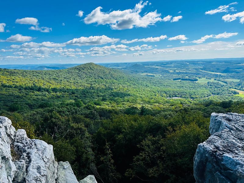
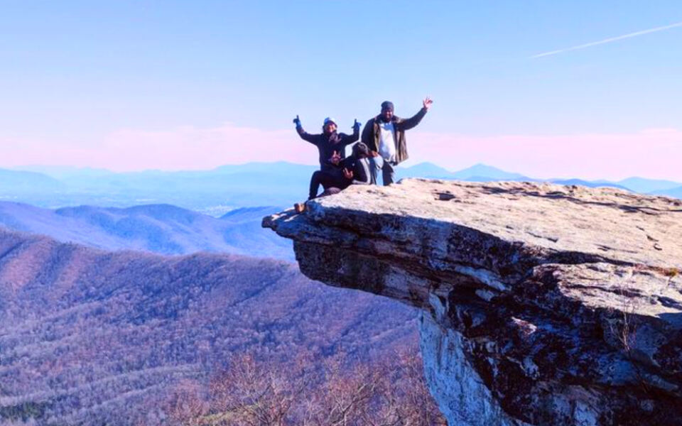
Ask experienced Pennsylvania hikers which views on the state’s Appalachian Trail section are worth the effort, and two names come up almost every time: The Pinnacle and Pulpit Rock, both located near Port Clinton in Berks County. These back-to-back overlooks sit on the same ridge and reward hikers with some of the most expansive scenery in the entire state.
The climb to reach them is no casual stroll. The initial ascent from Port Clinton is steep and rocky, which is essentially the trail’s way of making sure you appreciate what waits at the top.
Once there, the views stretch across a vast, forested tapestry of Appalachian ridges that seems to go on forever, particularly on a clear autumn morning when the foliage burns red and gold across the landscape.
Many hikers combine both overlooks into a single loop, making it a challenging but deeply satisfying day hike. The section between them offers its own pleasant ridge walking, building anticipation before each dramatic payoff that reminds you exactly why you laced up your boots in the first place.
Trail Towns That Actually Welcome Hikers

Not every town along a long-distance trail embraces the hikers passing through, but Pennsylvania’s A.T. communities have made welcoming tired travelers something of a local art form. Boiling Springs is the standout example, a genuinely picturesque town built around a spring-fed lake where the Appalachian Trail Conservancy’s Mid-Atlantic Regional Office operates, and where the community’s identity is openly tied to the trail running through it.
Duncannon, positioned at the confluence of the Susquehanna and Juniata rivers, serves as another essential stop, offering services, a sense of small-town character, and views of two rivers meeting that feel almost cinematic. Other designated A.T.
Communities in the state include Delaware Water Gap, Wind Gap, Palmerton, and Port Clinton, each contributing its own flavor to the trail experience.
These towns understand that a hiker’s needs are specific: a place to charge a phone, a hot meal, a resupply of snacks, and maybe a conversation with someone who is not also carrying a 35-pound pack. The hospitality here is practical, genuine, and quietly remarkable.
Water Gaps and the Rivers That Carved Them
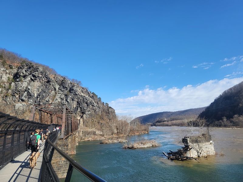
One of the most dramatic features of Pennsylvania’s landscape is the series of water gaps where rivers have sliced through mountain ridges over millions of years, creating natural passages that feel almost theatrical in scale. The Delaware Water Gap, where the trail exits Pennsylvania into New Jersey, is the most famous of these, and standing at its edge with the river far below gives you a genuine sense of geological power made visible.
The Lehigh Gap, further west, is another highlight, though it is better known for the challenging rock scramble required to cross it than for its gentler scenic qualities. The climb involves using hands and feet over exposed rock faces, and the views from the top make every scraped palm worthwhile.
Swatara Gap and Wind Gap also punctuate the trail’s journey through the state, each one offering a different perspective on how water and time shape a landscape. These gaps are not just geographical features; they are the trail’s natural punctuation marks, signaling transitions between one ridge experience and the next.
Wildlife and Wild Plants Along the Ridge Corridor
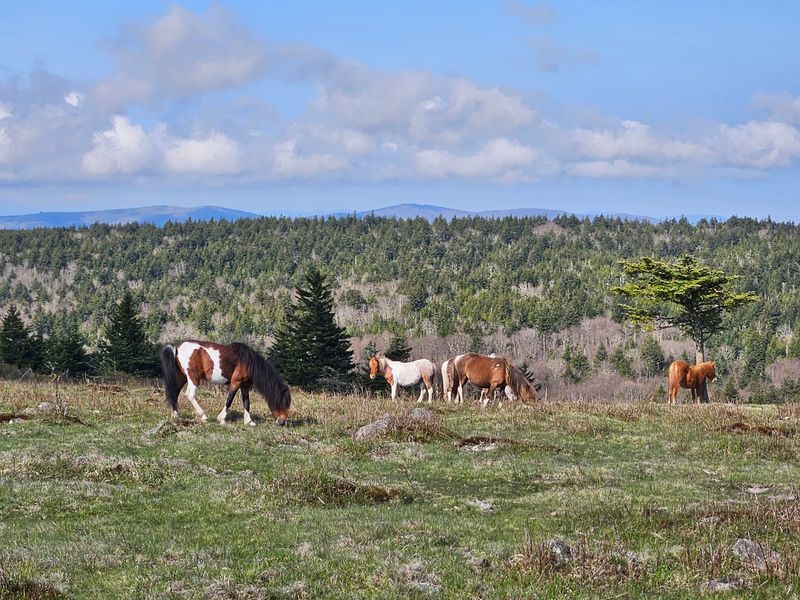
The Appalachian Trail in Pennsylvania runs through a remarkably diverse ecosystem, and paying attention to the natural world around you turns any hike into something richer than simple exercise. White-tailed deer appear frequently along the trail, particularly in the early morning and evening hours, often grazing close enough to the path that you can observe them without disturbing their routine.
Black bears inhabit the forests here as well, which means proper food storage is not just good practice but a genuine responsibility toward both your safety and theirs. Bird life along the corridor is equally impressive, with songbirds filling the canopy and various raptors riding thermals above the open ridgelines, making the trail a rewarding destination for anyone who enjoys watching birds.
Spring wildflowers carpet the forest floor before the canopy fully leafs out, creating brief but spectacular color displays in April and May. On sunny rock outcrops, timber rattlesnakes sometimes bask in the warmth, so watching where you place your hands during scrambles is a habit worth developing early in your Pennsylvania hiking career.
The Best Seasons to Walk Pennsylvania’s Stretch
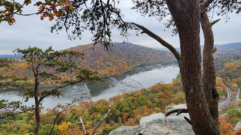
Timing a Pennsylvania Appalachian Trail hike well makes an enormous difference in the experience you take home. Fall consistently earns the highest praise from experienced hikers, and the reasons are easy to understand once you have walked a Pennsylvania ridge in October.
The air is crisp, the humidity drops, insects thin out considerably, and the hardwood forests ignite in colors that make every overlook feel like a painting.
Spring, typically April through June, brings its own rewards: mild temperatures, blooming wildflowers, and views that open up before the summer canopy fills in. However, early spring can deliver cold, unpredictable conditions at elevation, and some rocky sections hold ice well into April.
Summer hiking is manageable with an early start, but the combination of heat, humidity, and full foliage can make the valley sections feel heavy. Winter offers a stark, quiet beauty for experienced hikers equipped for cold conditions, though the rocky terrain becomes considerably more demanding when covered in ice and snow.
Each season reveals a genuinely different trail.
Practical Tips for Hiking Pennsylvania’s A.T.
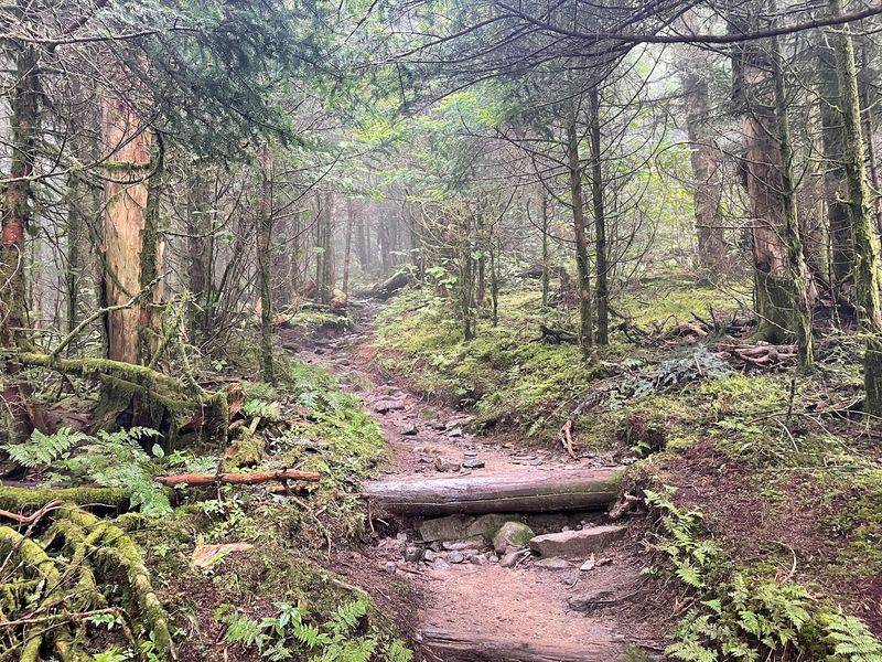
A few practical details can make the difference between a Pennsylvania A.T. hike you remember fondly and one you spend recovering from. Water planning is essential because, while the trail has numerous springs and streams marked on official maps and apps like FarOut, sources can dry up in late summer, and some valley sections are notably sparse.
Carrying capacity for at least two liters and always treating water before drinking protects you from stomach trouble that could cut a trip short.
Footwear deserves serious thought. Sturdy boots with solid ankle support handle the rocky sections far better than trail runners for most hikers, though experienced backpackers with strong ankles sometimes prefer the lighter option.
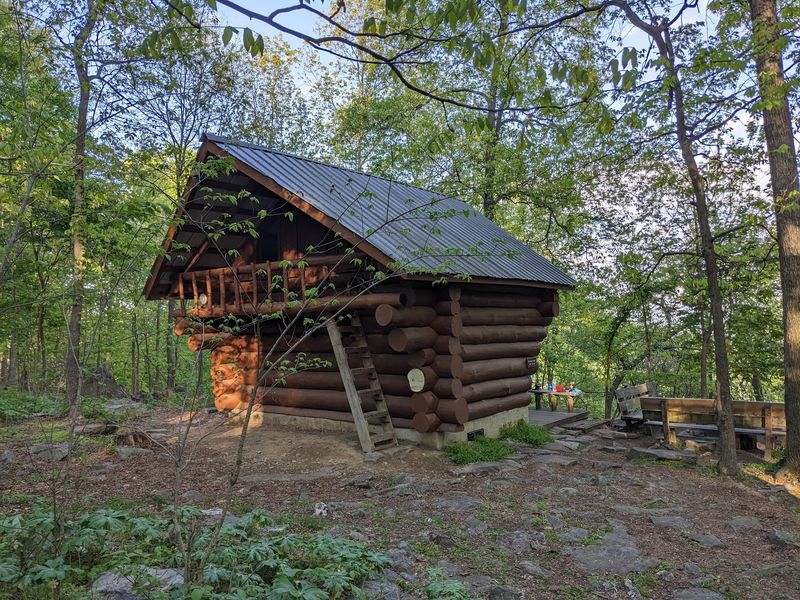
Pennsylvania’s 26 trail shelters provide welcome refuge, but carrying a tent or hammock as backup is wise during peak season when shelters fill quickly.
One timing note worth remembering: hiking between late April and late May means sharing the woods with turkey hunters, so wearing blaze orange is a simple precaution that keeps you visible and safe throughout those weeks.
Share this story