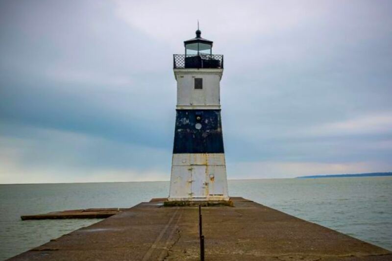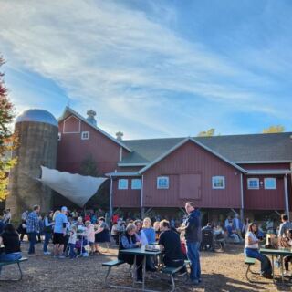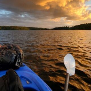
There is a canyon in Pennsylvania so deep and dramatic that people have been calling it the Grand Canyon of Pennsylvania for generations, and most people outside the state have never heard of it. Hidden inside nearly 147,000 acres of wild, forested land in the Pennsylvania Wilds region, this place holds over 600 miles of trails, a gorge that plunges more than 1,400 feet, ancient hemlock groves, bald eagles soaring over Pine Creek, and campsites so quiet you can hear the stream from your tent.
The name of this forest comes from an Iroquois word for Pine Creek, and even that tiny detail carries centuries of history. I spent time exploring Tiadaghton State Forest, and what I found was far bigger, wilder, and more rewarding than I expected.
Keep reading, because the trail stories, canyon views, and wildlife encounters get better with every section.
Where Tiadaghton State Forest Begins
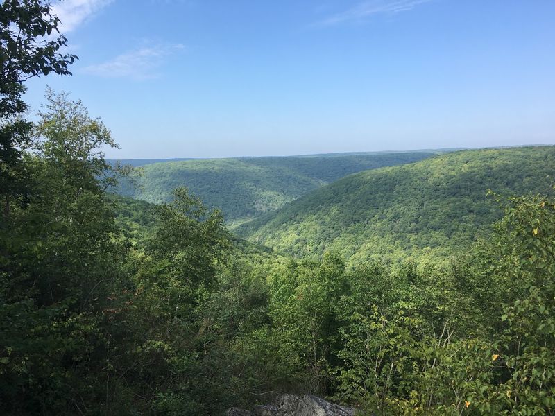
Most people picture a state forest as a simple patch of trees with a gravel parking lot. Tiadaghton State Forest is something else entirely, and the moment you start piecing together its scale, the surprise is real.
Tiadaghton State Forest, Forest District 12, covers approximately 147,000 acres spread primarily across western and southern Lycoming County, Pennsylvania, with sections reaching into Clinton, Potter, Tioga, and Union Counties. The district office, the Tiadaghton Resource Management Center, sits near Waterville at the confluence of Little Pine Creek and Pine Creek.
You can reach it by taking PA-44 North from US-220, then turning onto Lower Pine Bottom Road.
The forest is one of eight state forests within the Pennsylvania Wilds region, a vast stretch of wild land in north-central Pennsylvania. Elevations here range from about 700 feet in the creek valleys to over 2,100 feet on the high plateaus, which means the landscape shifts dramatically depending on where you are standing.
The resource center is a smart first stop for trail maps and current conditions before heading deeper into the forest.
The Canyon That Earned a Famous Nickname
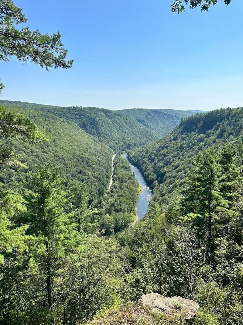
A canyon carved over thousands of years by a rerouted creek does not usually make the national landmark list, but Pine Creek Gorge did exactly that, and the reason becomes obvious the first time you stand at the rim.
Pine Creek Gorge stretches for over 45 miles through the forest, and at its deepest point near Waterville, the gorge drops 1,450 feet. At popular overlooks within Leonard Harrison and Colton Point State Parks, the gorge measures more than 800 feet deep and roughly 4,000 feet from rim to rim.
The National Park Service designated a 12-mile section of the gorge a National Natural Landmark in 1968, recognizing its exceptional scenery, geology, and ecology.
The wooded canyon walls, dramatic rock outcrops, and the silver ribbon of Pine Creek far below create a view that genuinely earns the Grand Canyon of Pennsylvania label. The overlooks at Leonard Harrison State Park offer some of the most accessible and breathtaking perspectives, and the Turkey Path trail descends steeply to the creek for those who want a closer look.
How a Glacier Shaped This Entire Landscape
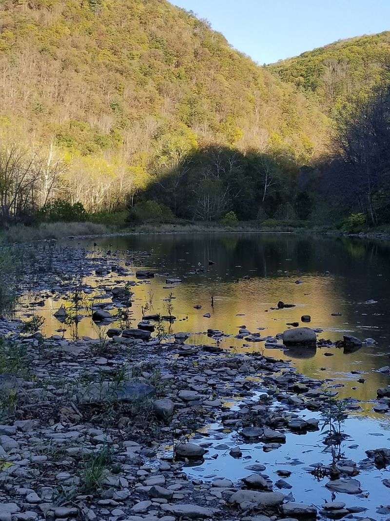
The bedrock beneath your boots in Tiadaghton State Forest is between 300 and 400 million years old, made up of alternating layers of sandstone, siltstone, mudstone, and shale. That alone is worth a quiet moment of appreciation.
The gorge itself, however, is far younger in geological terms. About 20,000 years ago, Pine Creek originally flowed northeast.
The retreating Laurentide Continental Glacier blocked the creek’s path with debris and created a large lake near present-day Ansonia. When that lake eventually overflowed its banks, it released a powerful flood that carved the deep, southward-flowing channel we see today.
That single geological event, a redirected creek forced south by glacial debris, created one of the most dramatic landscapes in the eastern United States. The canyon walls you see today are still slowly changing through ongoing erosion, meaning the gorge is technically still being shaped.
Understanding this backstory makes every hike along the rim feel a little more grounded, like you are reading a chapter of Earth’s own long and slow autobiography.
Centuries of Human History Written Into the Land
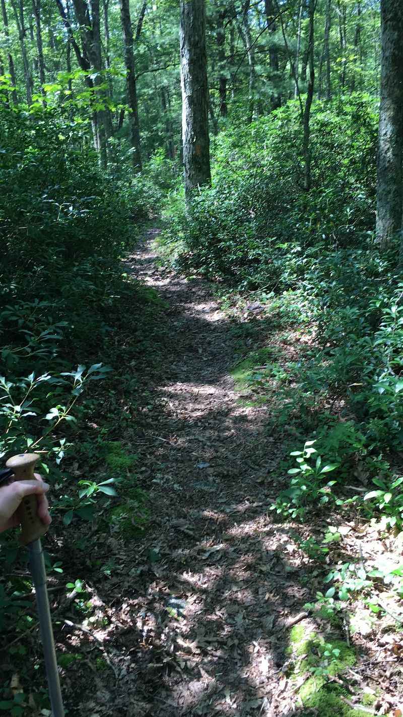
Long before trail maps and forest district offices existed, Pine Creek Gorge served as a major travel corridor for American Indian nations for thousands of years. The Iroquois name for Pine Creek, Tiadaghton, became the name of the forest itself, though the precise meaning of the word has been lost to time.
By the 19th century, the valley looked very different. Vast stands of white pine, hemlock, and hardwoods were harvested during an era of intensive logging that stripped much of the region.
The Jersey Shore, Pine Creek and Buffalo Railroad, later known as the Pine Creek Railway, operated from 1883 to 1988 and hauled timber and coal through the gorge along a route that is now the beloved Pine Creek Rail Trail.
The state began purchasing land for forest reservations on July 13, 1898, starting with a 409-acre tract in Cummings Township. The Civilian Conservation Corps further shaped the forest in the 1930s, building infrastructure and restoring land that had been logged bare.
The forest you walk through today is a living recovery story.
The Rail Trail That Runs Through the Heart of the Gorge
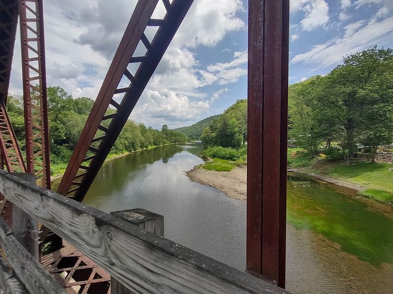
Few trails in Pennsylvania offer as rewarding a combination of scenery, accessibility, and sheer length as the Pine Creek Rail Trail, and it is one of the first things most visitors discover about this forest.
The trail runs for approximately 62 to 65 miles along the former Pine Creek Railway grade through the gorge. The surface is crushed limestone, nearly flat, and suitable for hikers, cyclists, horseback riders, and even wagon rides along certain sections.
E-bikes are permitted here as well, provided riders are actively pedaling rather than relying solely on the throttle.
The trail passes through some of the most dramatic canyon scenery in the eastern United States, with towering forested walls on both sides and Pine Creek running alongside much of the route. Water pumps are available at some points along the trail, but carrying sufficient water is always a smart move.
For anyone wanting a gentler introduction to the gorge without steep climbs, this trail delivers the full visual experience at a comfortable, manageable pace.
Over 600 Miles of Trails for Every Kind of Adventurer
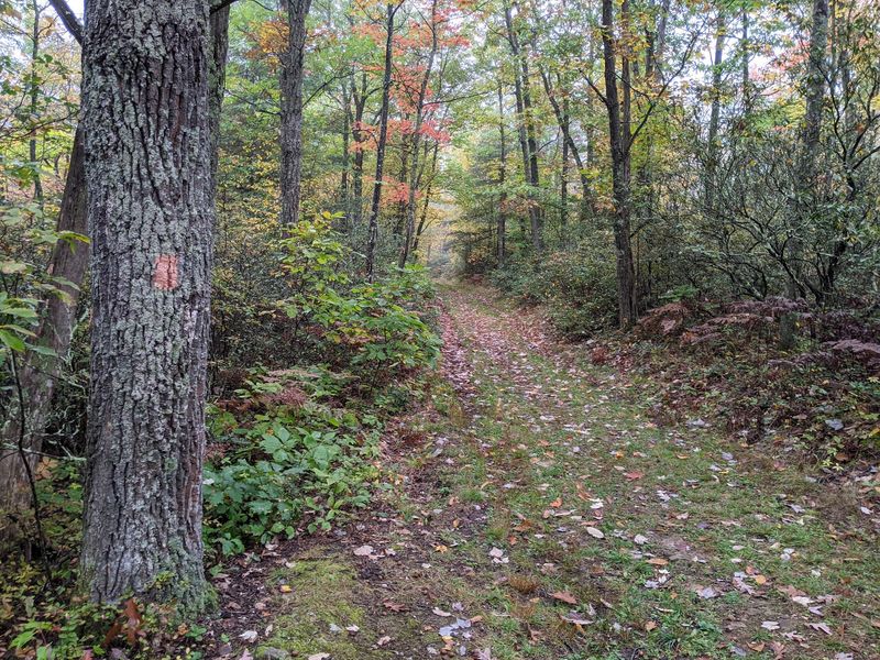
Six hundred miles of trails is not a number you absorb immediately. To put it in perspective, that is more trail mileage than many entire states can claim, and Tiadaghton State Forest holds all of it within its 147,000 acres.
Hiking options range from the flat Pine Creek Rail Trail to the demanding Black Forest Trail, a challenging 42-mile loop with multiple vistas and serious elevation changes. The Golden Eagle Trail covers 9.2 miles with rewarding views, and approximately 56 miles of the 327-mile Mid State Trail pass through the forest as well.
The Bob Webber Trail and the Tiadaghton Trail can be combined with the Mid State Trail for a 23-mile backpacking route.
Nearly 400 miles of the total trail network are open to mountain biking, with popular routes incorporating trails like Gamble Run, Bonnell Run Road, Middle Hill, Callahan Run, and Naval Run. Cross-country skiing is available on over 30 miles of marked trails in winter.
The trail system here is genuinely one of the most comprehensive in Pennsylvania, and planning your route in advance makes the difference between a great trip and a lost afternoon.
Wildlife That Reminds You Who Really Lives Here
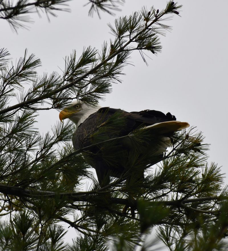
Bald eagles flying over a canyon, river otters slipping through Pine Creek, black bears moving through hemlock groves at dusk, and elk appearing at the edge of a meadow are not unusual sightings in Tiadaghton State Forest. The wildlife density here reflects how intact and healthy this ecosystem genuinely is.
White-tailed deer and wild turkeys are common throughout the forest, while beavers are active along many of the smaller streams. Birdwatchers have strong reasons to visit, with woodpeckers, mourning warblers, and hermit thrushes among the species regularly spotted.
The varied terrain, from high-country flats to deep creek valleys, supports a wide range of habitats that benefit different species at different elevations.
The forest includes several designated Natural Areas that protect particularly sensitive ecosystems. Bark Cabin Natural Area preserves 73 acres of old-growth Eastern Hemlock and Northern Red Oak.
Algerine Swamp Natural Area protects an 84-acre glacial bog. Torbert Island covers 54 acres within Pine Creek itself.
Early morning is consistently the best time for wildlife watching, especially along creek corridors where animals gather to drink.
Water Activities That Change With the Seasons
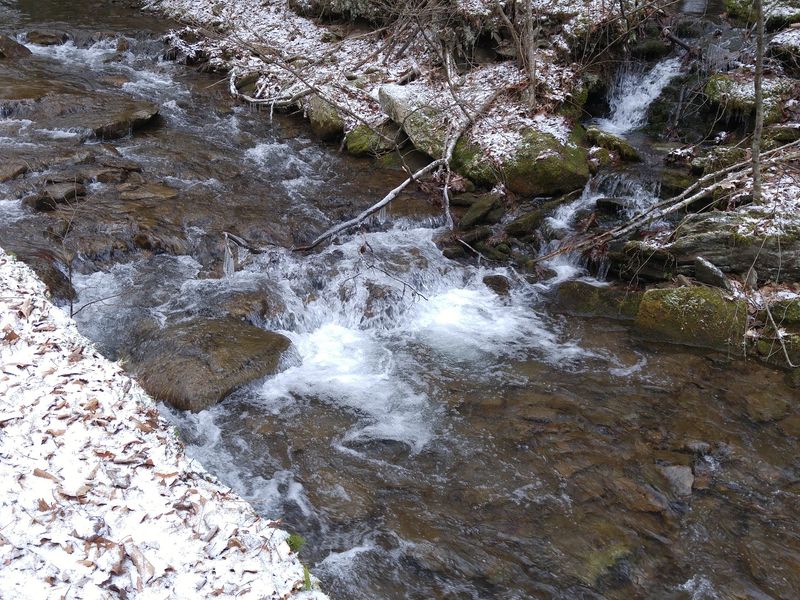
Pine Creek is not just a scenic backdrop. It is an active waterway that draws anglers, paddlers, and swimmers across multiple seasons, and the experience it offers shifts considerably depending on when you visit.
Spring is the prime season for whitewater rafting, kayaking, and canoeing, when snowmelt and rain push water levels high enough to create exciting rapids through the gorge. Concrete launches for non-motorized boats are available in the Pine Creek Valley, making access straightforward for those bringing their own watercraft.
As water levels drop through summer, the creek transitions into a calmer paddling and fishing destination.
Trout fishing is particularly popular along Pine Creek, and the cold, clear mountain water supports healthy fish populations throughout the season. The combination of canyon scenery above and productive fishing water below makes a day on the creek feel genuinely rewarding from start to finish.
If you are planning a paddling trip, checking current water levels before you go is essential, since conditions in the gorge can change quickly after heavy rain.
Camping Under Stars With a Canyon Nearby
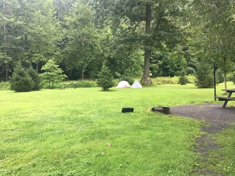
There is something genuinely satisfying about falling asleep within earshot of a mountain creek, and Tiadaghton State Forest makes that experience accessible to a wide range of campers, from minimalist backpackers to those who prefer a bit more comfort.
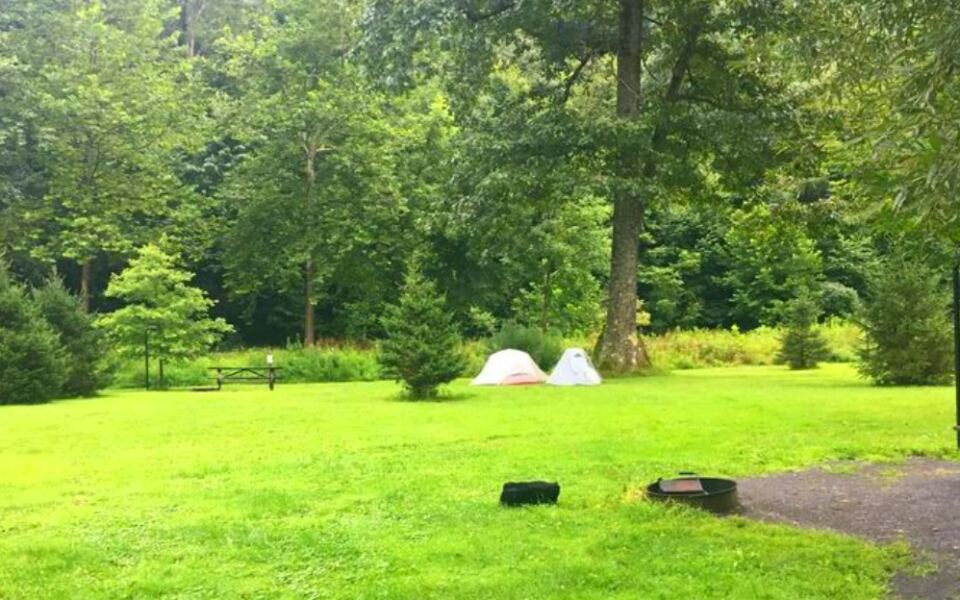
Dispersed primitive camping is available throughout the forest, with rustic tent sites scattered across the landscape. Some cabin options exist as well.
Campgrounds like Tomb Flats and Black Walnut Bottom provide vault toilets for basic sanitation. Trailside campsites along the Pine Creek Rail Trail may require a permit and fee, so checking in advance avoids surprises.
Primitive backpacking permits are required for stays longer than one night at the same site, or if you want a campfire during the annual spring wildfire season, which runs from March 1 through May 25. Campfires are generally prohibited during that period without authorization from the district office, and the rule is taken seriously.
The reward for navigating those logistics is a night in one of Pennsylvania’s most dramatic landscapes, with canyon walls, forest silence, and a sky full of stars overhead.
When to Visit and How to Make the Most of Your Trip
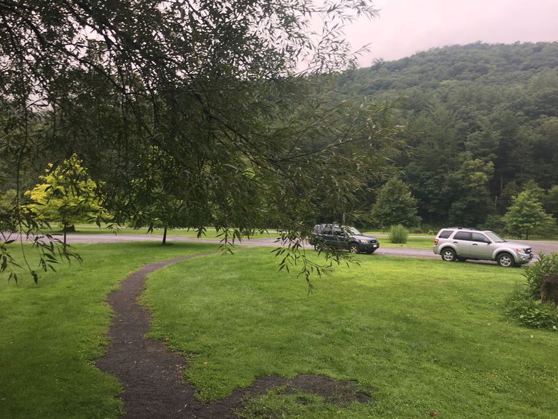
Every season in Tiadaghton State Forest brings a different version of the same landscape, and each version has its own distinct appeal. Knowing what to expect helps you plan a trip that matches what you actually want to experience.
Fall is the most visually spectacular season, with late September through mid-October bringing vivid reds, yellows, oranges, and purples across the canyon slopes. Spring offers lush green growth, wildflowers, and the best whitewater paddling, though trails can be muddy.
Summer delivers warm days, cool nights, and ideal conditions for hiking and fishing, with occasional afternoon thunderstorms rolling through. Winter brings snow and ice to the trails but also a quiet, stripped-down beauty that rewards those willing to layer up.
A few practical tips worth keeping in mind: dogs are permitted on trails but must be leashed, all visitors should follow Leave No Trace principles and pack out their trash, and a hybrid or mountain bike with durable tires works best on the rail trail. The Tiadaghton Resource Management Center and various trailheads offer maps to help you navigate the extensive trail network confidently.
Share this story