Minnesota has a way of surprising people who think the Midwest is all flat fields and predictable weather. This state holds some of the most jaw-dropping natural scenery in the entire country, from ancient rock formations to waterfalls tucked inside city limits.
You do not need to travel overseas to find landscapes that make you stop and stare. This list covers nine places across Minnesota that look like they belong in a nature documentary, and every single one of them is real, reachable, and absolutely worth the trip.
Boundary Waters Canoe Area Wilderness
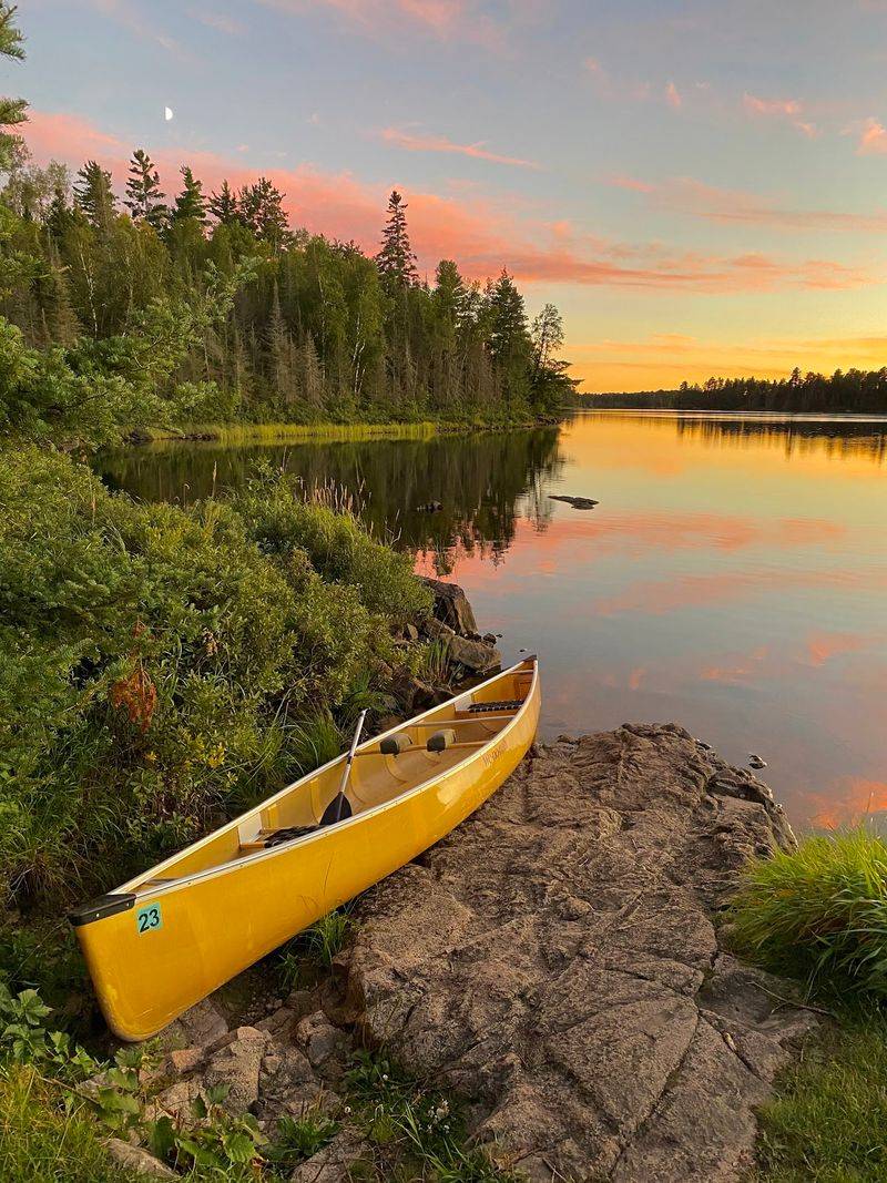
About one million acres of lakes, forests, and portage trails make up one of the most protected wilderness areas in the entire United States. The Boundary Waters Canoe Area Wilderness, tucked into northeastern Minnesota along the Canadian border, contains more than 1,000 lakes and 1,200 miles of canoe routes.
No motors are allowed in most of the area, which keeps the experience remarkably quiet and the water remarkably clear. Visitors need a permit to enter, and those spots fill up fast, so planning months ahead is a smart move.
The area is part of Superior National Forest and has been federally protected since 1978. Wildlife sightings here include moose, wolves, bald eagles, and black bears.
Fishing is popular, with walleye and northern pike among the most common catches. First-time visitors often say it feels like traveling back in time by about a hundred years.
Devil’s Kettle Falls
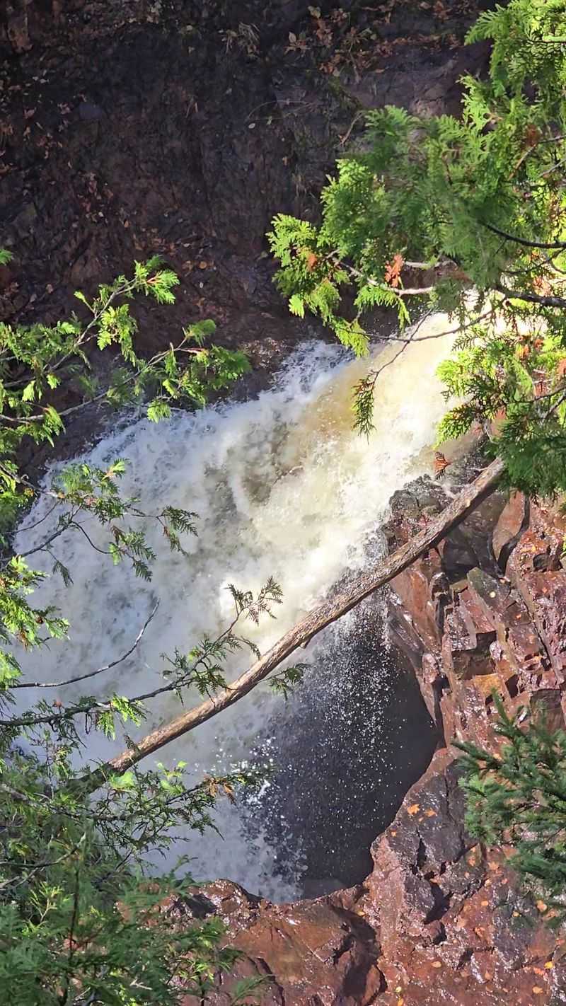
For decades, scientists and curious visitors tried to figure out where the water goes, and for a long time, nobody had a solid answer. Devil’s Kettle Falls sits inside Judge C.R.
Magney State Park along the North Shore, where the Brule River splits in two before reaching a drop.
One side tumbles down a normal waterfall into the river below. The other side pours directly into a large pothole in the rock and simply vanishes.
Researchers eventually determined the water rejoins the river downstream, but the pothole’s exact path took years to confirm using dye tracing.
The hike to reach the falls is about two miles round trip and involves some uneven terrain, so good footwear is a must. The payoff is one of the strangest geological features in the Midwest.
It is the kind of place that makes you question what you thought you knew about rivers.
Palisade Head
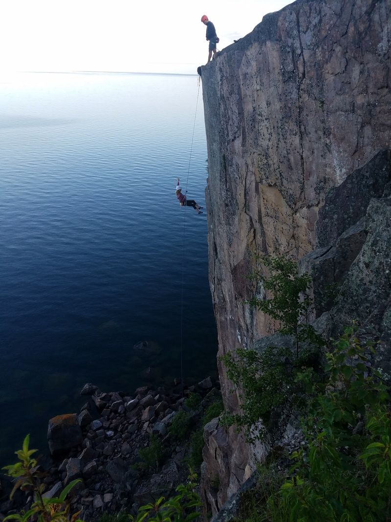
Rhyolite cliffs rising 350 feet above Lake Superior make Palisade Head one of the most dramatic viewpoints anywhere on the Great Lakes. Located near Silver Bay in the Tettegouche State Park area, this volcanic rock formation was created by lava flows more than a billion years ago.
The drive up is short and the parking area sits right at the top, which means the payoff requires almost no effort at all. From the cliff edge, you can see the full curve of the Lake Superior shoreline stretching in both directions, along with Shovel Point and the surrounding forest.
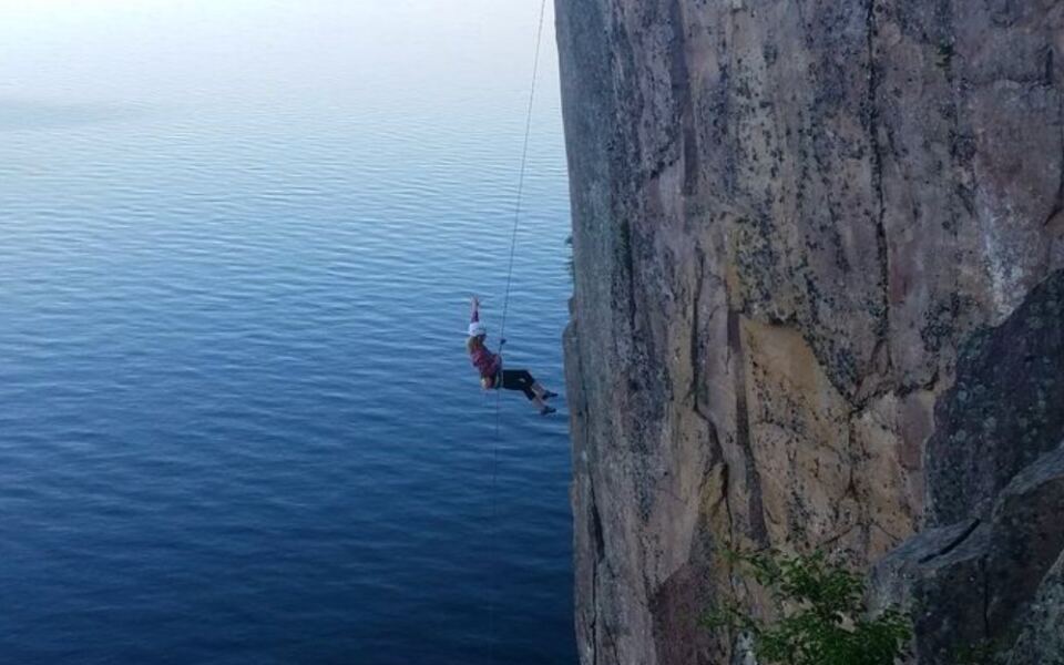
Rock climbers come from across the region to scale the sheer faces here, and the routes range from beginner to expert level. Sunrise visits are especially popular because the light hits the red rock in a way that makes the whole cliff look like it belongs on another planet entirely.
Mystery Cave
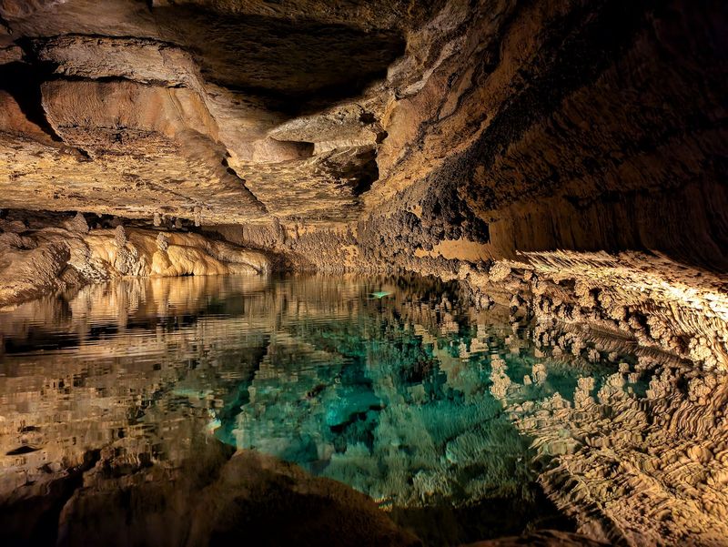
Minnesota’s longest cave stretches more than 13 miles underground, which surprises most people who picture the state as entirely flat and above-ground. Mystery Cave is part of Forestville/Mystery Cave State Park in southeastern Minnesota and sits in a region shaped by ancient seas that once covered the area.
The cave formed in limestone over millions of years as slightly acidic water slowly dissolved the rock. Inside, visitors can see fossils embedded in the walls, underground pools, and formations that took thousands of years to build just a fraction of an inch.
Guided tours run at multiple difficulty levels, from easy walking tours to more adventurous lantern tours that use minimal lighting. The temperature inside stays around 48 degrees Fahrenheit year-round, so a light jacket is always a good idea regardless of the season.
The cave was discovered in 1937 by a local man who noticed cold air rising from a crack in the earth.
Iona’s Beach Scientific and Natural Area
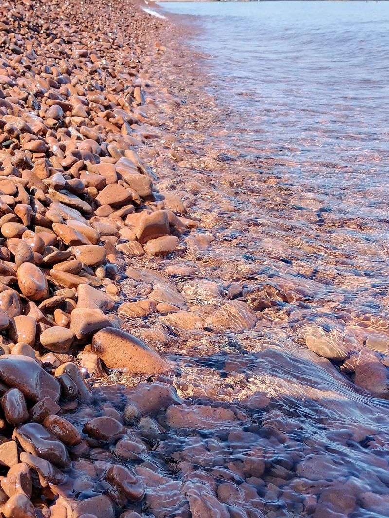
Most beaches have sand, but Iona’s Beach near Two Harbors is covered entirely in smooth pink and red rhyolite pebbles that create a sound when waves push them together. That distinctive sound has drawn curious visitors for years, though the geology itself is the real star of the show.
The pebbles are made of ancient volcanic rock, the same material found at Palisade Head, and they get their pink color from the specific mineral composition of the rhyolite. The beach is managed as a Scientific and Natural Area by the Minnesota Department of Natural Resources, meaning it is protected from development and disturbance.
Access requires a short walk from the parking area, and the beach is small enough that it rarely feels crowded. There is no swimming or collecting of rocks allowed, but photography is very much encouraged.
The pink pebbles against the deep blue of Lake Superior create a color contrast that regularly stops first-time visitors in their tracks.
Glacial Potholes
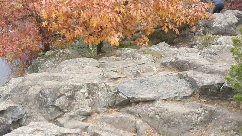
Interstate State Park in Taylors Falls holds some of the deepest and best-preserved glacial potholes found anywhere on Earth, and geologists have been studying them for well over a century. These perfectly cylindrical holes were drilled into ancient basalt rock by boulders spinning in powerful glacial meltwater currents at the end of the last ice age.
The largest pothole on record at this site reached a depth of more than 60 feet, making it one of the deepest known potholes in the world. Visitors can walk right up to the edges and peer into holes that look almost too perfectly round to be natural.
The park sits along the St. Croix River on the Minnesota-Wisconsin border, and the surrounding basalt cliffs add to the dramatic scenery. Interpretive signs throughout the pothole area explain how glacial geology shaped the entire region.
It is a geology lesson you can actually stand inside, which makes it far more interesting than any textbook.
Mississippi River Headwaters
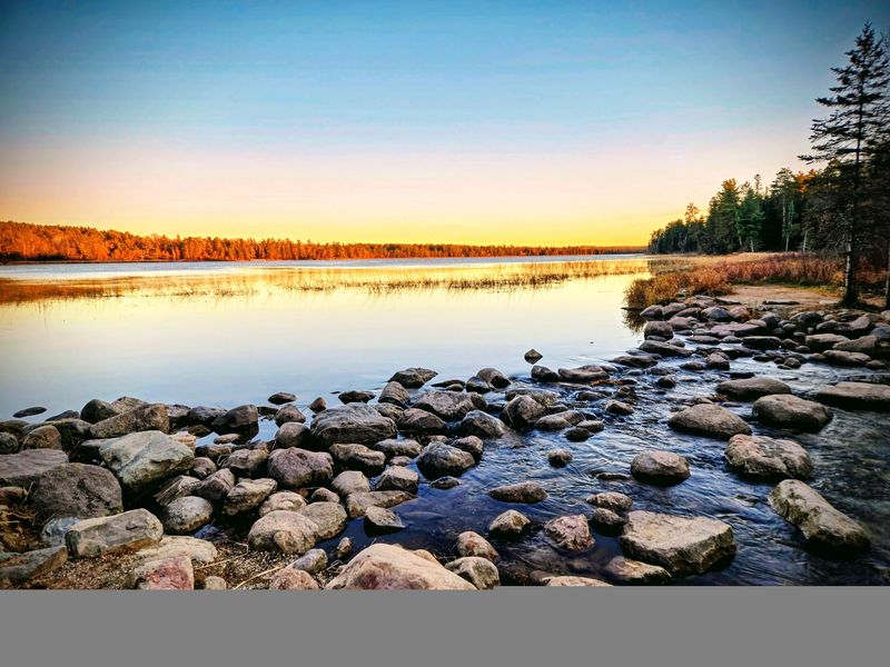
The mighty Mississippi River begins not as a roaring torrent but as a shallow, narrow stream you can actually walk across on stepping stones. Lake Itasca in Itasca State Park is the official source of the river, a fact confirmed by explorer Henry Schoolcraft in 1832 with the help of local Ojibwe guide Yellow Head.
The park is Minnesota’s oldest, established in 1891, and it covers more than 32,000 acres of forests, lakes, and trails. At the headwaters, the water leaving Lake Itasca will travel 2,552 miles before reaching the Gulf of Mexico, passing through ten states along the way.
Visitors regularly line up to wade across the stepping stones and take a photo at the exact spot where the river begins. The surrounding old-growth pines are some of the largest trees in the state.
A visit here puts the entire scale of the Mississippi River into a perspective that maps and textbooks simply cannot match.
Minnehaha Falls
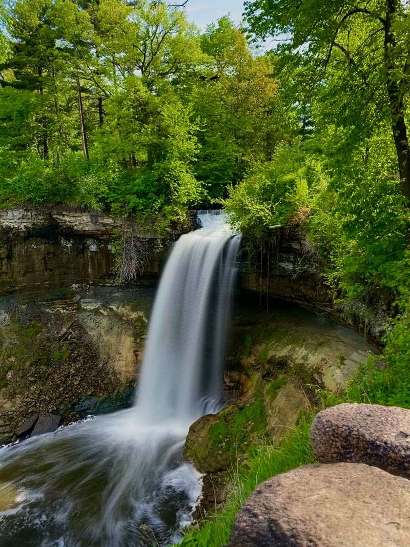
A 53-foot waterfall sitting inside a major American city is not something most people expect to find, but Minnehaha Falls has been one of Minneapolis’s most visited landmarks for well over 150 years. The falls drop over a limestone ledge into a gorge that runs toward the Mississippi River, creating a surprisingly dramatic natural feature just minutes from downtown.
Henry Wadsworth Longfellow wrote about the falls in his 1855 poem “The Song of Hiawatha,” though he never actually visited in person. The poem brought national attention to the site and helped establish it as a destination.
Today, Minnehaha Regional Park surrounds the falls and offers hiking trails along the creek and gorge.
In winter, the falls sometimes freeze into a massive column of ice, drawing photographers from across the region. A historic depot, a statue of Hiawatha and Minnehaha, and several picnic areas round out the park experience.
Free parking and easy access make this one of the most visitor-friendly natural wonders on the list.
Voyageurs National Park
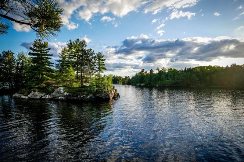
Voyageurs National Park is one of the few national parks in the country where a boat is required to reach most of the destinations inside it. Located in northern Minnesota along the Canadian border, the park covers more than 218,000 acres, with about 40 percent of that area being water.
The park takes its name from the French-Canadian fur traders who paddled these routes in large birchbark canoes during the 17th and 18th centuries. Four large lakes connect throughout the park, along with hundreds of smaller ones, creating a water-based wilderness that feels genuinely remote despite being accessible by road at the entry points.
Voyageurs is one of the best places in the continental United States to see the northern lights, thanks to its northern latitude and minimal light pollution. Wildlife includes wolves, black bears, bald eagles, and osprey.
Houseboats can be rented for multi-day trips, making it possible to spend an entire week exploring without ever sleeping on land.
Share this story