Some trails in Tennessee look easy on a map and then quietly test every muscle you own. This one starts beside a friendly mountain stream, crosses a few little bridges, and then turns into a staircase that seems to have no end.
The payoff at the top is a wide mountain view that locals talk about for years. Keep reading to learn how steep it really gets, what to pack, and why so many hikers call it a must before they even catch their breath.
A Rocky Summit in the Heart of the Smokies
Two miles, 1,400 feet of climbing, and one of the most talked-about viewpoints in the region. That is the quick pitch for Chimney Tops, a rocky mountain peak listed at Tennessee 37738, United States.
The peak sits inside Great Smoky Mountains National Park, the huge protected range that Tennessee shares with North Carolina. Its trail is one of the park’s most popular short hikes, known for packing a serious climb into a small distance.
The Gatlinburg area makes a handy home base for the trip. That puts the trailhead within a comfortable weekend drive of Knoxville, Chattanooga, and Nashville, which is why so many Tennessee families treat it as a rite of passage.
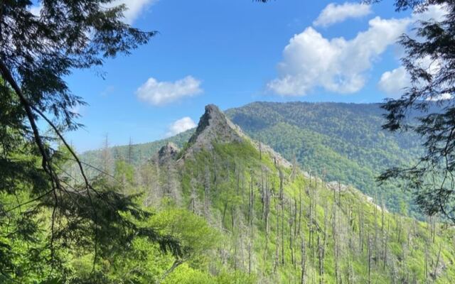
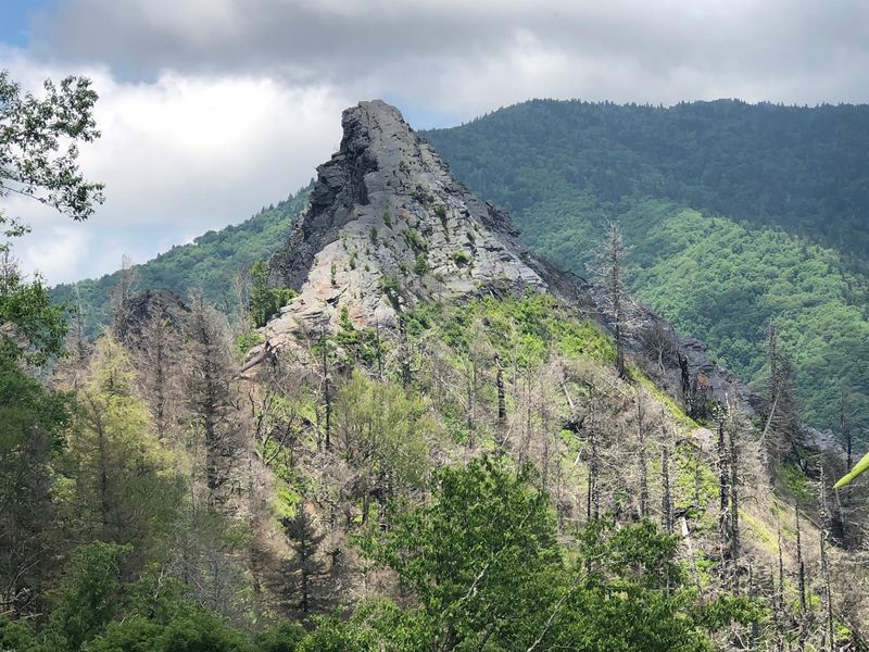
Its name comes from the pinnacles at the summit, rocky spires that stick up from the ridge like a pair of stone stacks. Those spires are the reason people come, even though the very tip is now off limits.
The Numbers Behind the Climb
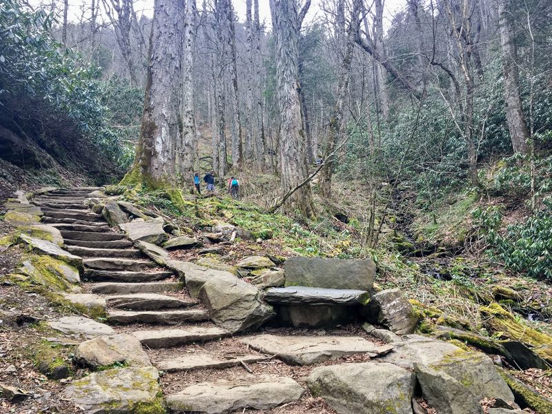
Math class never felt this personal. The official description puts the trail at about 2 miles one way with roughly 1,400 feet of elevation gain.
Hikers who break it down often mention that the round trip lands somewhere between 3.5 and 4 miles. One common breakdown lists about 1.75 miles of open trail each way, since the final quarter mile has been closed since the 2016 fire.
The real twist is where the climbing happens. Roughly 1,000 feet of that gain is packed into the last mile, so the second half does most of the heavy lifting.
The overlook sits near 4,600 feet above sea level. That altitude matters more than people expect, especially in cooler months.
So the distance is short, but the grade is not. Anyone planning a casual after-lunch stroll should adjust expectations before lacing up.
An Easygoing Start Along the Creek
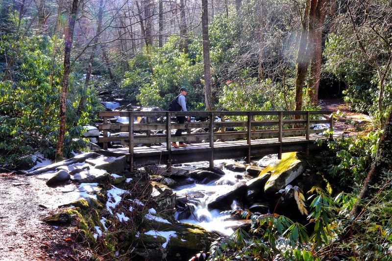
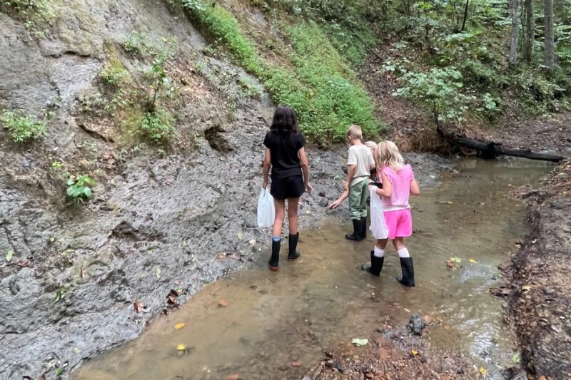
Nobody warns you how pleasant the first stretch is, and maybe that is part of the trick. The trail begins at a gentle pace, following a mountain stream through thick forest.
Large boulders sit in and along the water, and hikers regularly mention the stream as one of the trip’s highlights. Families with younger kids sometimes spend a good while here before the real work begins.
This warm-up section gives legs time to settle in. It also offers a good chance to check gear, adjust layers, and make sure everyone in the group is ready for what comes next.
The creek portion helps explain why the hike feels longer than its mileage. Plenty of people slow down to take photos, and that is time well spent.
Enjoy the easy grade while it lasts. The mountain has other plans just ahead.
Little Bridges and Tiny Waterfalls
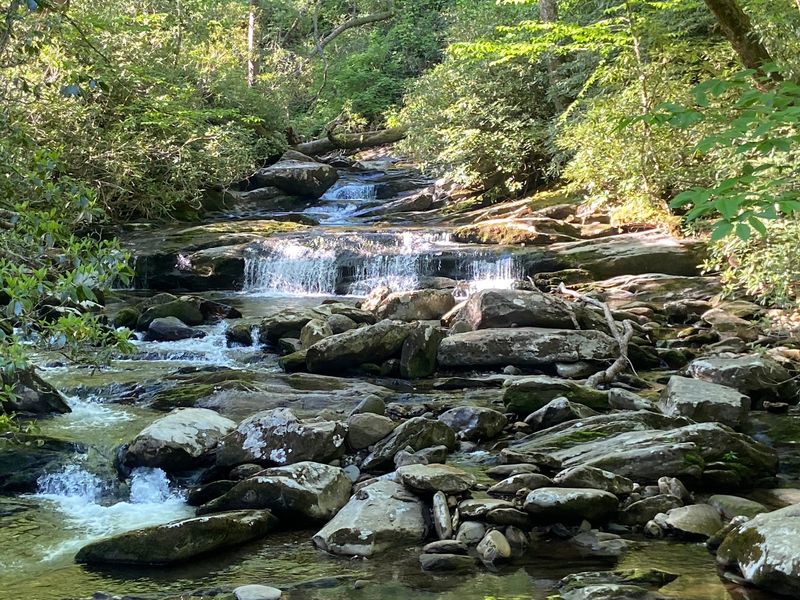
Count them as you go. Hikers typically report three or four small wooden bridges along the route, each one carrying the path over rushing water.
Tennessee loves a good waterfall, and this trail delivers plenty of small ones. They are not towering cascades, but there are enough little falls along the stream to keep cameras busy in the lower section.
These crossings make a nice mental checkpoint too. Each bridge marks progress, which helps break the hike into friendly chunks.
Kids especially tend to enjoy spotting the next bridge. It turns the early part of the trail into a small scavenger hunt rather than a long walk.
Watch your step on wet planks after rain. Moisture is common here, and the wood can get slick, so slow and steady is the smart approach before the climb gets serious.
Stairs, Stairs, and More Stairs
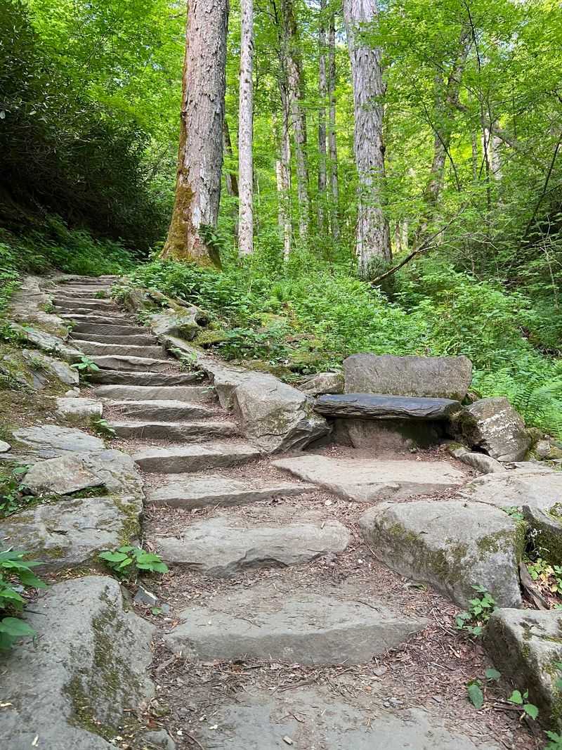
Forget the gym membership. Hikers often joke that the upper trail feels like the ultimate stair machine, and the comparison holds up.
The path climbs using a long mix of wooden log steps and stone steps, with some counts landing at more than 500 stairs. Much of it is well maintained, which helps, but the incline stays steep for a long stretch.
Many people rank this as the hardest part of the whole outing. Some groups decide to turn around once they reach the stairs, and that is a perfectly fine choice for anyone who is not feeling it.
Those who push on usually do it in short bursts. Pausing every few flights to rest is common and makes the climb far more manageable.
Pace matters more than speed here. The stairs reward patience, not heroics.
Payoff at the Overlook
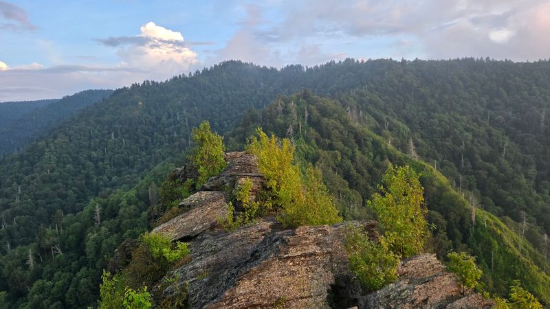
Here is the part everyone climbs for. The viewing area near the top opens onto one of the better panoramic outlooks in the Smokies.
Hikers describe the scenery as breathtaking, with the rocky Chimney Tops pinnacles standing close by and ridge after ridge stretching out beyond them. Plenty of people say the hard work instantly feels worth it.
Even hikers who found the stairs tough tend to agree the reward is big. It is the kind of spot where groups linger, snap photos, and refuel before heading down.
Tennessee has no shortage of mountain views, but few this dramatic come from such a short hike. That ratio of effort to payoff is exactly why the trail stays so popular.
Bring a camera or a charged phone for photos. Just remember there is no signal to share them until later.
How Long the Hike Really Takes
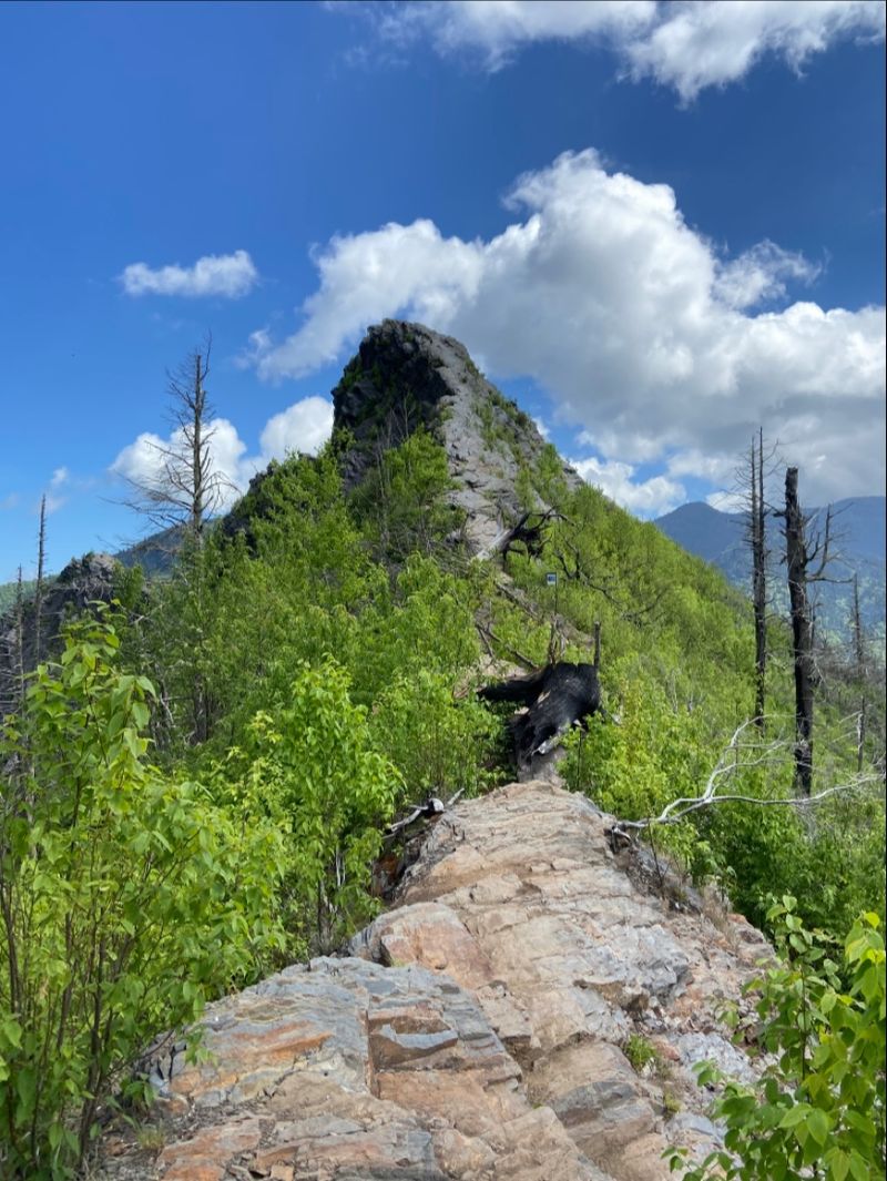
Clocks tell a different story than maps on this trail. Time estimates vary a lot depending on fitness and how many breaks a group takes.
One common report puts the climb at about 1 hour and 20 minutes to the upper viewing area, with around 45 minutes back down. Other hikers say it can take up to a couple of hours going up and about one hour coming down.
Round trips of roughly three and a quarter hours are also mentioned. That includes time at the stream, rests on the stairs, and a well-earned stop at the top.
The descent is faster but still demands care. Tired legs and slick steps are a tricky pair.
Plan for a half day to keep it relaxed. Rushing turns a great outing into a stressful one.
Gear That Makes the Climb Easier
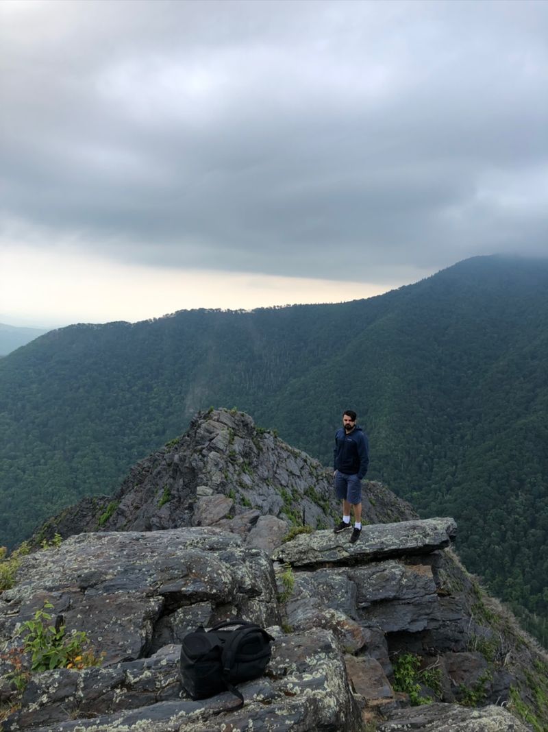
Hiking poles come up again and again as a smart choice for this trail. They help on the steep steps going up and take pressure off knees on the way down.
Sturdy boots are another favorite recommendation. The mix of log steps, stone stairs, and damp ground calls for good grip.
Pack plenty of water, and then pack a little more. Hydration is one of the most repeated pieces of advice, along with snacks, extra socks, and a small first aid kit.
Layers are worth carrying even on mild days. At higher elevation, some hikers have found that a temperature in the 50s still felt cold, so gloves and a warm top can help.
Finally, tell family or friends where you are going. Cell service is missing here, so a simple plan shared ahead of time adds peace of mind.
Seasons, Weather, and Slick Footing
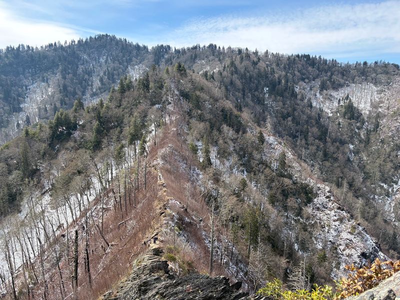
Mountain weather can change the whole character of this hike. The stone stairs near the top can get slick with moisture, and ice makes them even trickier in colder months.
Some hikers have tackled the trail with melting snow around, turning the goal into simply staying upright. Wet conditions are common, so careful footing is essential.
Fall brings its own charm. In early November, the hillsides can be covered in fallen leaves, and late afternoon fog sometimes rolls through for a moody view.
That fog has a downside, though. One suggestion is to wrap up before around 5 PM in fall, since visibility can drop as more fog settles in.
Quieter times exist too. A mid-February weekend, for example, brought only a handful of groups on the trail, which makes winter appealing for hardy hikers who dress well.
Parking, Passes, and Planning Ahead
Parking is the first challenge of the day. The lot sits right at the trailhead, but it fills quickly because the hike is so busy.
A few extra spots are available about 150 feet farther along the road. Arriving early is the best move for both parking and fewer people on the stairs.
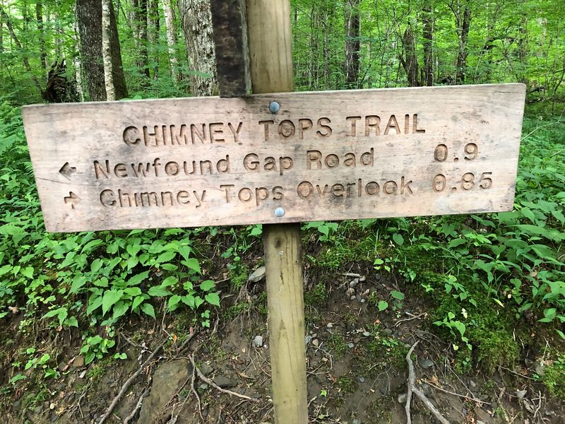
Hikers have also noticed a sign at the trailhead noting that a pass is needed and can be purchased at the visitor center. Since there is no cell service at the trail, it is wise to sort that out before driving up.
Restrooms are not available at this spot either. Plan a stop beforehand, especially with kids.
Download offline maps ahead of time. Groups should also agree on meeting points in advance, because phones will not be much help once you arrive.
Who Will Love This Trail Most
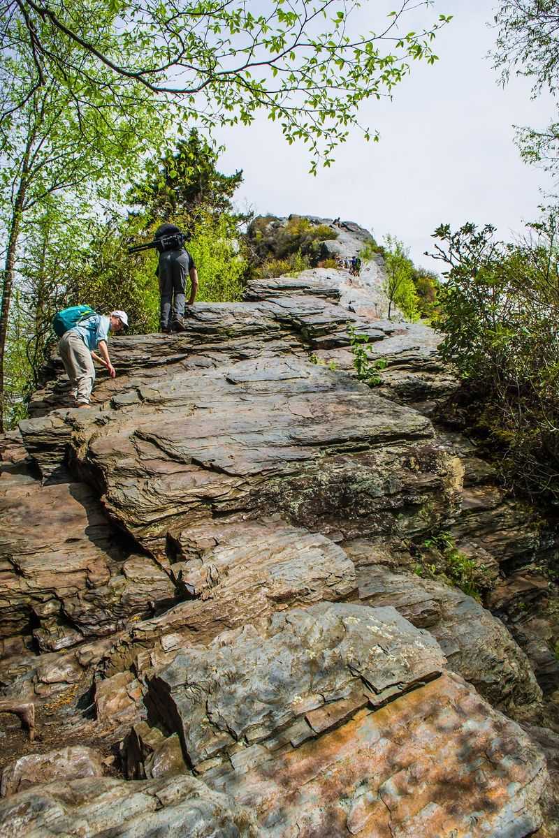
Fitness levels vary, and so do opinions on difficulty. Experienced hikers sometimes call the climb moderate, while others describe it as a hard hike that will work you pretty hard.
Even longtime hikers with good gear admit the trail surprised them. It is not a casual walk, but it is also short enough to feel achievable with steady pacing.
Families with older kids, weekend road-trippers, and anyone chasing a big view without an all-day trek tend to love it. Some people have even returned for a second try, better rested and hydrated, and found it much easier.
Travelers who prefer gentle strolls can still enjoy the creek section and turn back when the stairs begin. There is no shame in that plan.
Everyone finds their own finish line here. The lower trail has plenty to offer on its own.
Worth Every Step, Mostly
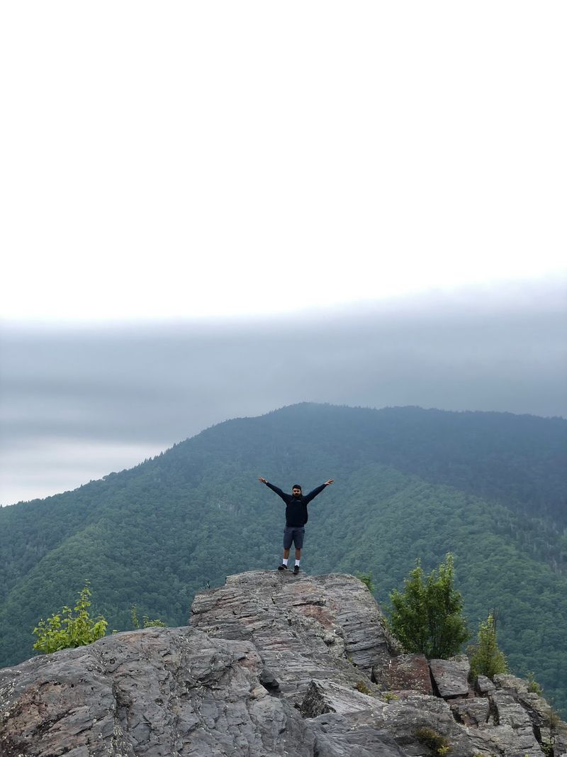
Short hike, big payoff. That sums up why Chimney Tops keeps showing up on Tennessee bucket lists.
The trail starts easy beside a lively stream, crosses little bridges, passes small waterfalls, and then climbs hard up hundreds of steps. At the end, a panoramic overlook shows off the famous pinnacles and miles of Smoky Mountain ridges.
Honest expectations make the day better. The very top is closed since the 2016 fire, parking is tight, and there is no cell service or restroom at the trailhead.
Still, the view from the overlook earns the effort for most people who make it. Many consider it a must for anyone who hikes in the state.
Pack water, grab those poles, and start early. Your legs may grumble on the stairs, but they will have a great story to tell by the drive home.
Share this story