Some road trips in Rhode Island end with a surprise nobody puts on the itinerary. The road bends, the trees fall away, and suddenly the pavement starts climbing toward the clouds over open water.
Plenty of drivers grip the wheel a little tighter, and plenty of passengers reach for their phones. Keep reading to learn why this steep stretch of steel ranks among the most talked-about crossings in New England, plus the toll tips that can save real money.
A Tolled Giant on Route 138
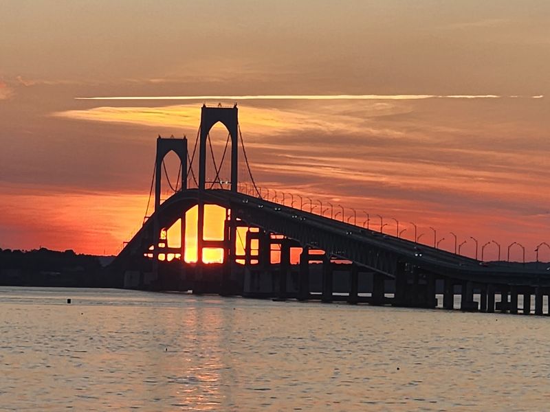
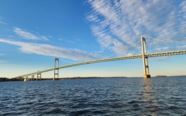
Route 138 does something unusual between two islands. It lifts off the ground and becomes the Claiborne Pell/Newport Bridge, a modern suspension bridge with the address RI-138, Jamestown, RI 02835.
The span crosses Narragansett Bay and links Jamestown, on Conanicut Island, with the city of Newport. Anyone heading toward Newport from the west on this route will find the bridge right in the path, with road signs pointing straight ahead and no real detour.
Completed in 1969, the bridge is run by the Rhode Island Turnpike and Bridge Authority. It is a working piece of highway first and foremost, carrying daily commuters, summer beachgoers, and road trippers alike.
The crossing stays open 24 hours a day, every day of the week. That means a sunrise drive and a midnight return are equally possible, although the scenery certainly performs better in daylight.
Records That Stretch Across New England
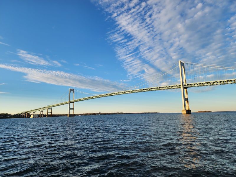
Numbers tell a big part of the story here. The bridge runs more than 11,200 feet from end to end, which is roughly 3,400 meters of roadway over water.
That length makes it the longest bridge in Rhode Island. It also holds the title of the longest suspension bridge in New England, a bragging right that locals mention with obvious pride.
The main span between the two towers reaches about 1,600 feet, or around 490 meters. Engineering fans call the whole structure a true marvel, and it is easy to see why once the cables come into view.
Here is a fun bonus fact. The bridge appears on the back of Rhode Island’s state quarter, so many Americans have carried a tiny version of it in their pockets without realizing it.
Few highway structures can claim both a record and a spot on pocket change.
That Famously Steep Climb
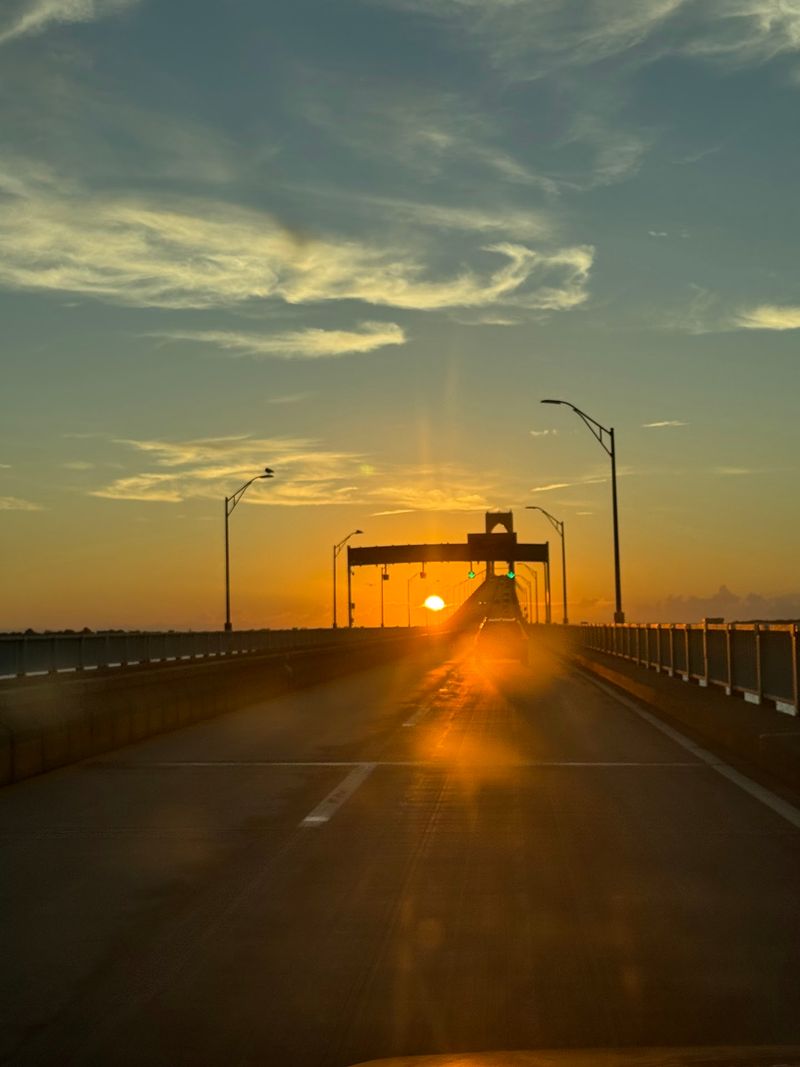
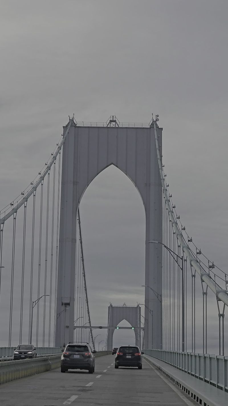
Photos have a habit of flattening this bridge. On camera it looks like a gentle curve, but in person the roadway rises high and drops back down in a way that surprises first-timers.
Some drivers who never worry about heights admit this one rattled them a little. Passengers with a fear of heights have described the crossing as downright petrifying, especially on the way up.
The good news comes on the descent. Many say the view coming back down is spectacular, with the bay spreading out below like a reward for staying calm.
A few practical thoughts help nervous travelers:
Keep eyes on the lane ahead, stay at a steady speed, and let a calm companion handle any sightseeing. The climb is short compared to the thrill it delivers.
Brave hearts, meanwhile, tend to call it the best part of the drive.
Bay Views, Sailboats, and Lighthouses
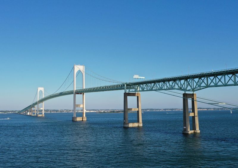
Narragansett Bay makes quite a backdrop. From the top of the bridge, the water below is often dotted with sailboats, and small islands sit scattered across the scene.
After crossing westward toward Providence, drivers meet another long bridge with no toll. Along that route, a small lighthouse stands on tiny Plum Island, a charming extra for anyone keeping an eye out.
There is one catch for photographers riding shotgun. The railings make it tough to capture clean shots of the water, boats, and islands from the roadway itself.
That is why many people treat the drive as a moment to enjoy rather than record. The bridge rewards attention in real time, with the harbor, the boats, and the coastline all passing in a single sweeping stretch.
Save the camera work for the ground, where the angles get much better.
Best Photo Spots on Solid Ground
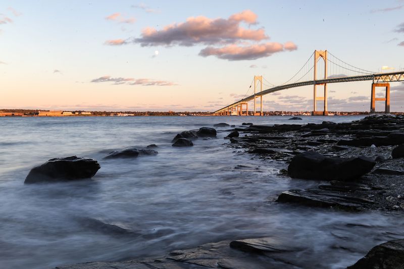
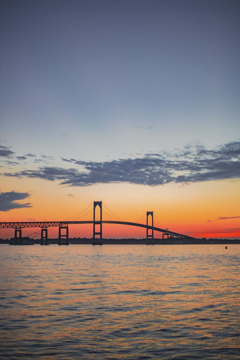
Want the classic shot? Taylor Point in Jamestown sits right before the bridge begins and is a favorite place to photograph the towers and cables.
There is also a small parking area just off the road before the toll. From there, a short walk leads down to the water, where the sailboats in the harbor frame the bridge nicely.
Across the bay, a concrete platform in Newport offers another angle. Drone pilots have captured striking aerial footage of the span, showing the full sweep of the structure over the water.
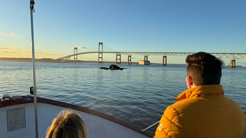
The view from below is a different experience entirely. Boat trips, including the Save the Bay Seal Watch Tour, pass under the bridge and give a real sense of its height.
Seen from the waterline, those towers suddenly feel twice as tall.
Each vantage point tells a slightly different story, so trying more than one is well worth the time.
Red, White, and Blue on the Fourth
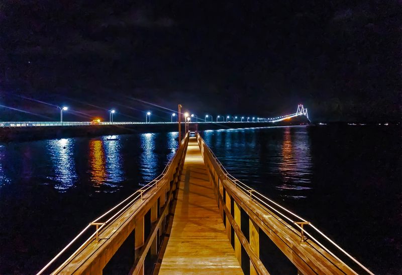
Independence Day turns the bridge into a star attraction. Every year on the Fourth of July, fireworks light up the sky at 9 p.m., and the bridge glows in red, white, and blue.
The atmosphere around the celebration is known for being friendly and upbeat. Crowds gather nearby, and several spots around the area put on their own fireworks shows the same night.
Parking takes some planning. Many nearby spaces are reserved for residents, and cars without a visitor pass can be ticketed or towed.
Arriving early and choosing legal parking makes the evening far more relaxing. It also leaves time to find a good viewing spot before the show begins.
For summer travelers, timing a trip around the Fourth could be a smart move. Few sights in the state match the combination of glowing cables and bursting colors over the bay.
Commuters, Anglers, and Scenic Route Fans
Plenty of people cross simply because they love it. Some travelers heading to Newport, Tiverton, or Bristol choose this route even when the Providence I-95 option is ten or fifteen minutes faster.
Anglers have their own reasons to visit. The area around the bridge is a beloved fishing spot, drawing folks who return again and again.
Summer brings a busier mood. Traffic can get heavy during the warm months, which makes sense in a state packed with beaches.
Engineering buffs, photographers, and boaters all find something to appreciate here too. Even those who shrug and call it just a huge bridge usually admit it is a pretty one.
Families with nervous passengers may want to plan ahead, though. For them, a quick pep talk before the climb can go a long way.
Tolls, E-ZPass, and the Road Surface
Money matters here, so a little homework pays off. The toll has been about $4 each way for E-ZPass holders, which works out to roughly $8 for a round trip.
Rhode Island residents with E-ZPass receive a much discounted rate. Out-of-state drivers should make sure their transponder is mounted properly on the windshield so it reads correctly.
Drivers without a transponder can get invoiced by mail. Rental car companies may add their own administrative fees, and some travelers have paid far more than the toll once extra charges and late fees piled up.
Checking the official website at ritba.org before the trip is the easiest way to confirm current rates and payment options.
Road conditions deserve a heads-up as well. Recent trips have reported potholes and a rough deck, and loose gravel has even chipped a windshield or two, so steady speeds are wise.
Worth the Climb, With a Plan
So, does the bridge earn its reputation? For most travelers, the answer leans toward yes, as long as they arrive prepared.
The record-setting length, the steep rise, and the sweeping bay views make it one of the most memorable drives in the Northeast. Its spot on the state quarter only adds to the charm.
Preparation is the secret ingredient. A working E-ZPass, a careful pace over the rougher patches, and a stop at Taylor Point for photos can turn a simple crossing into a highlight of the trip.
Timing helps too. A summer visit brings sailboats, while the Fourth of July brings glowing lights and fireworks.
Height-shy passengers may still close their eyes on the way up. Chances are they will open them on the way down, just in time to catch that famous view across Narragansett Bay and decide the climb was worth it after all.
Share this story