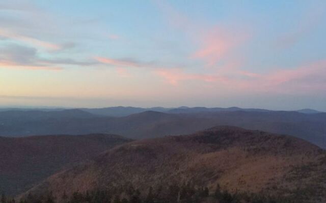
The highest point in Massachusetts has a granite tower on top, and you can drive almost all the way there. On a crisp day, the views stretch 60 to 90 miles in every direction.
That range is enough to spot mountains in neighboring states from one rooftop perch. I like how the payoff feels huge, yet the effort can be as small as a scenic drive.
Hikers get their reward too. Dozens of trails climb through rocky forest, past small waterfalls, and into cool, pine-scented air near the top.
In fall, the whole scene turns gold and red below you. I can’t imagine a better way to see the season than looking down on it from above.
So why do so many locals still save this summit for someday?
The Rooftop of Massachusetts Sits in the Berkshires
High above the northern Berkshires, Mount Greylock State Reservation crowns the tallest peak in Massachusetts. It’s a state park built around one big promise: views from the highest point in the state.
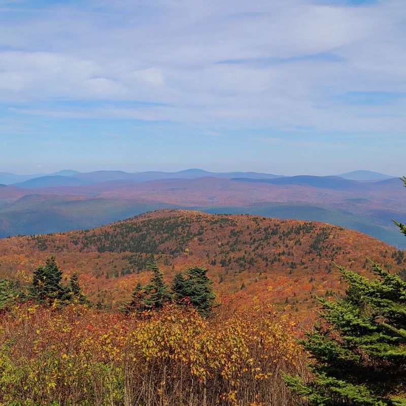
On a clear day, those views reach 60 to 90 miles. That’s far enough to make neighboring states feel like part of your backyard.
The reservation wraps around the mountain with hiking trails, scenic vistas, and a summit road that opens in season. You can earn the top on foot or roll up in your car.
Either way, the destination is the same windswept peak. Up there, rolling hills and valleys spread out in layers like a giant relief map.
Western Massachusetts has plenty of pretty drives, but few end with a view this wide. Greylock gives you the full panorama without a plane ticket or a pricey getaway.
That’s the real appeal for anyone close to home. A single day trip delivers mountain scenery many people assume requires a trek to northern New England.
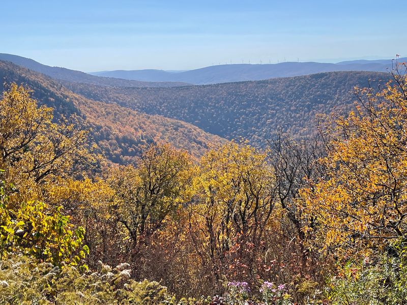
And in autumn? The forested slopes below the summit become a patchwork of color you can study from above.
Where a Statewide Park System First Took Root
Back in 1898, Massachusetts set aside a 400-acre plot around the summit of Mount Greylock. It became the state’s first wilderness reservation, protected for public enjoyment.
Those 400 acres turned out to be just the opening chapter. They marked the beginning of what grew into the vast Massachusetts state forest and parks system.
A marker at the site celebrates that milestone. It’s a small detail that makes the climb feel a little more meaningful.
Think about it for a moment. Every state forest picnic or lakeside trail you’ve enjoyed in Massachusetts traces its roots to this mountaintop.
The idea was simple and generous. Keep the land wild, and keep it open for everyone to share.
More than a century later, that mission still shows. Trails are mostly left natural, with boards laid across soggy stretches to protect the ground.
History buffs will find plenty more to chew on. The visitor center shares background on the mountain and the region, along with displays about current conditions.
It’s a fitting place to start your visit. Knowing the backstory makes those sweeping views feel earned, even if you drove.
A Granite Beacon Built to Honor Veterans
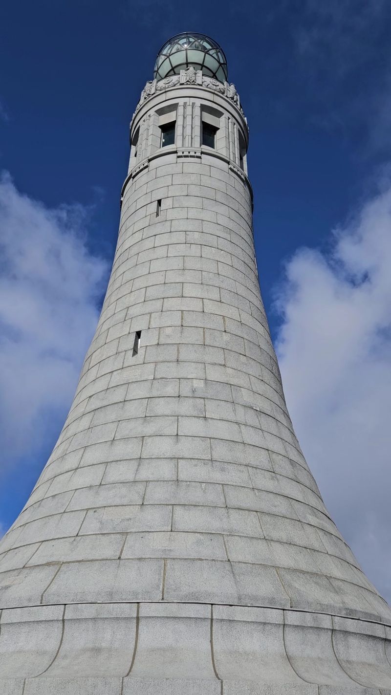
Rising from the very top of the mountain, the Veterans War Memorial Tower is the summit’s showstopper. It honors Massachusetts veterans and serves as the peak’s most recognizable landmark.
You’ll spot it long before you reach it. The tower stands out against the sky from many points along the summit road.
Climbing up takes about five minutes or less. That’s a tiny effort for one of the best viewing platforms in New England.
From the top, the panorama opens in every direction. Multiple mountain ranges line the horizon, and on clear days several states come into view.
Nearby towns sit tucked in the valley below, including Adams. Spotting familiar places from this height adds a fun game of find-the-landmark.
Fall turns the tower into a front-row seat for foliage. Picture-perfect days let you trace ridgelines far past the state line.
The memorial carries quiet weight too. Many visitors pause here to reflect before turning back to the view.
Bring patience on busy weekends, since the summit can draw a crowd. A few extra minutes is a small price for this kind of reward.
Trails That Range From Easy Strolls to Leg Burners
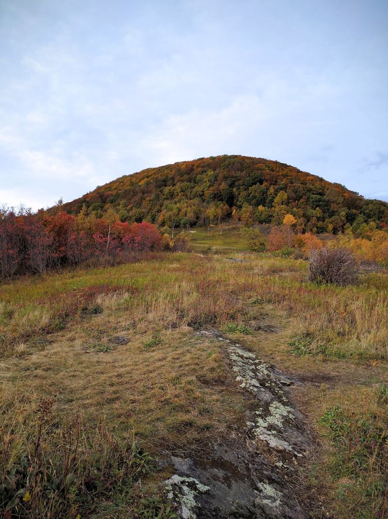
Hiking is the heartbeat of this mountain. Trails come in many lengths and difficulty levels, so you can pick your own adventure.
Families with little ones can try gentler options like the Rounds Rock Trail. It offers a shorter outing with scenery that feels bigger than the effort.
Craving a real challenge? Routes from the Gould Road access point, such as the Thunderbolt Trail, deliver steep, rocky climbs toward the summit.
The Bellows Pipe Trail makes a popular way back down. Expect roots, rocks, and gravel, so sturdy shoes and good fitness help a lot.
From the Cheshire Harbor Trailhead, another route climbs toward the memorial tower. Along the way, a side path leads to a pretty stream.
Trails are generally well marked, with plenty of spots to stop and soak in the scenery. Still, some quieter stretches can feel narrow.
Near the top, the forest shifts toward boreal character. Fragrant pines take over, and the air often feels cooler and breezier.
Small waterfalls and streams dot the reservation too. They’re a sweet bonus between the bigger overlooks.
The Appalachian Trail Passes Right Over the Summit
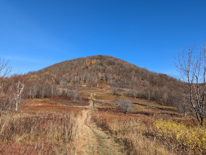
Long-distance hikers know Greylock well. The Appalachian Trail runs straight through the reservation and over the summit.
That means you can hike a piece of a legendary footpath without leaving Massachusetts. It’s bragging rights with a very reasonable commute.
One favorite stretch links Saddle Ball Mountain with Greylock. It mixes wildflower meadows, dense forest, and sprawling views in a single outing.
Day hikers often love this section for its variety. You get a taste of the trail’s character in just a few miles.
Reaching the top brings a surprise for first-timers. A full-service lodge waits at the summit, offering a warm pause after the climb.
Through-hikers aren’t the only ones who benefit. Anyone walking the trail can refuel and rest before heading on.
Fall adds extra magic to the route. Crisp air and turning leaves make every mile feel like a postcard.
Bring a map, though, since cell service in the park is spotty. Downloading directions before you go saves headaches later.
Watch for wildlife as you walk. Porcupines and quail have both been spotted along these paths.
Scenic Drives, Summit Snacks, and a Lodge in the Clouds
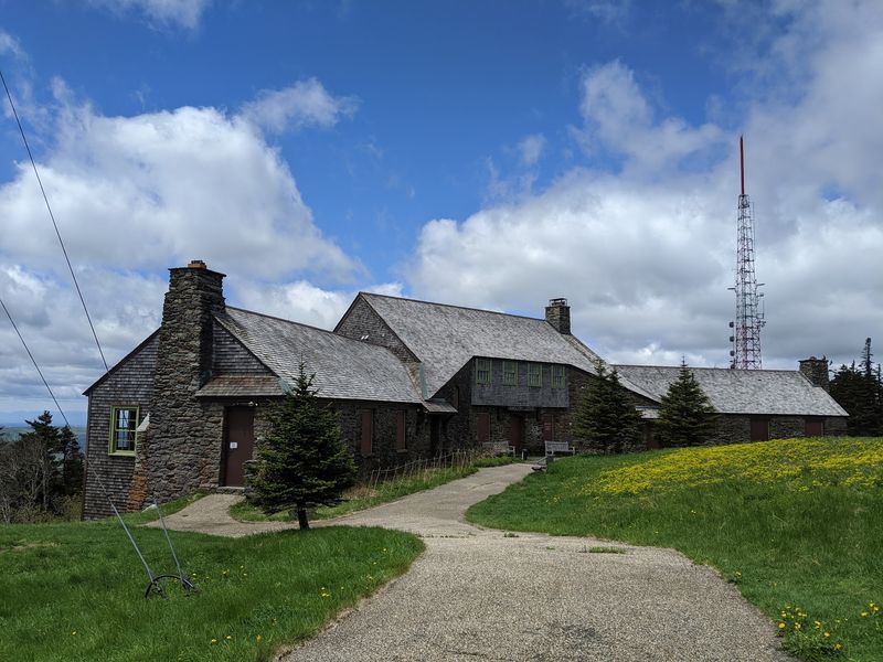
Not a hiker? No problem at all.
The summit road, open in season, carries you almost to the tower’s doorstep.
The drive itself is half the fun. Winding curves and scenic vistas tempt you to pull over again and again.
Plan on roughly 20 minutes to climb the mountain by car. Take it slow, since the road twists and plenty of motorcycles share it.
At the top sits Bascom Lodge, a historic stone lodge with real charm. It has offered a cafe, restrooms, gifts, and overnight lodging.
Made-to-order sandwiches, soups, coffee, tea, and pastries have appeared on its cafe menu. Hours have varied, so check before you count on lunch.
Picnics are another easy option. Families often pack a meal and enjoy it with a view no restaurant can match.
The combination makes a great weekend plan. Drive up, stay the night, and catch the scenery at different times of day.
Campgrounds in the reservation offer a rustic alternative. Sites sit a short walk from the road, and firewood delivery has been available.
Handy Notes Before You Head for the Peak
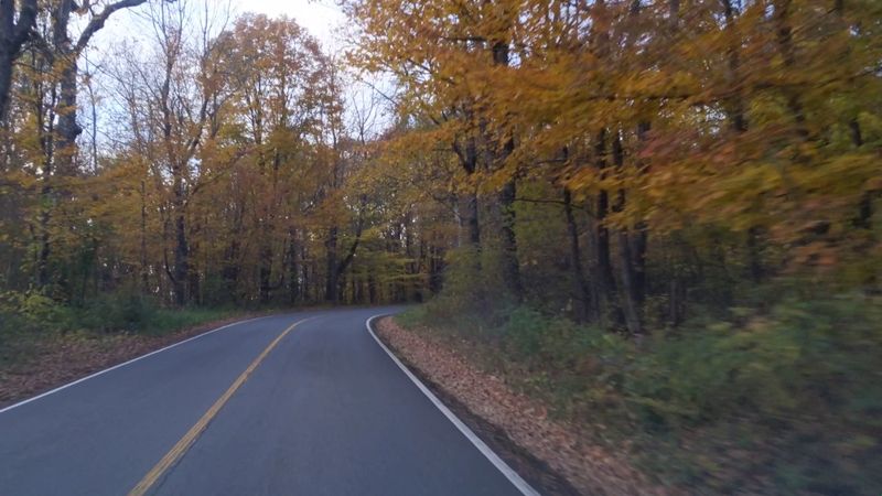
Start your trip at the reservation’s main entrance at 30 Rockwell Rd, Lanesborough, MA 01237. The visitor center here makes a smart first stop.
Friendly DCR staff can help you choose a trail. Displays show weather conditions both at the center and at the summit.
That summit report matters more than you’d think. Mountain weather can change fast, and the top often feels cooler than the valley.
Layers are your best friend, especially in fall. Rain, wind, and even hail have surprised hikers on this peak.
Parking fees may apply near the summit during the season. Policies can change, so check the state park information before your trip.
The summit road operates seasonally, not year-round. Winter visitors must hike, and icy trails demand serious gear.
Cell coverage is unreliable throughout much of the park. Download maps ahead of time so a dead zone doesn’t derail your day.
Arriving early helps on peak foliage weekends. The summit draws many drivers, while the trails stay far quieter.
Finally, pack water and snacks. Lodge hours vary, and hungry hikers make grumpy navigators.
Why This Peak Deserves a Spot on Your Fall Calendar
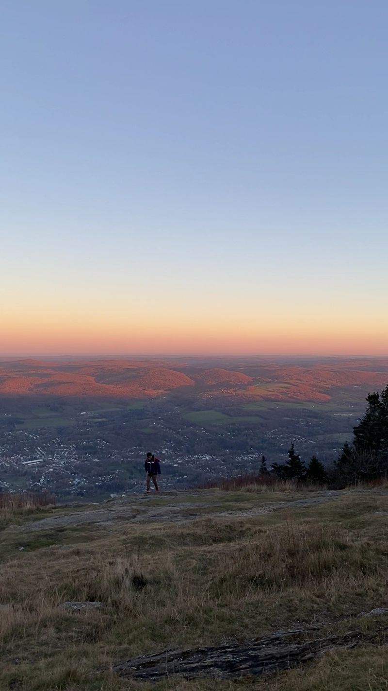
Few day trips in Massachusetts pack this much into one outing. Mount Greylock State Reservation blends history, hiking, and huge views in a single stop.
Its range is the secret weapon. Gentle walkers, hardcore hikers, and casual drivers all leave with the same jaw-dropping panorama.
Autumn might be its finest hour. September and October paint the Berkshires below in shades that look almost unreal from above.
Clear skies unlock the real prize. From the tower, distant ridges in multiple states line the horizon like a lineup of old friends.
Foggy days have their own mood too. Mist swirling around the summit can feel moody, mysterious, and still magnificent.
Winter brings a different kind of beauty for prepared hikers. Ice-coated trees and snowy branches turn the peak into a frozen sculpture garden.
So which version will you chase first? The fall color, the misty magic, or the frosty climb all make a strong case.
Whatever you pick, this mountain rewards curiosity. The highest point in Massachusetts has been waiting since 1898 for you to finally look around.
Share this story