You pull off a winding highway in Oregon expecting a quick leg stretch and a snack. Then the river shows up, loud and glassy, and the forest swallows the road noise whole.
Before long you are wondering why nobody told you this much trail could hide in plain sight. Here is what a long, wild ribbon of Oregon woods has in store for those who bother to stop.
A 26-Mile Ribbon Through the Cascades
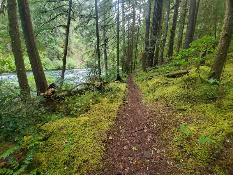
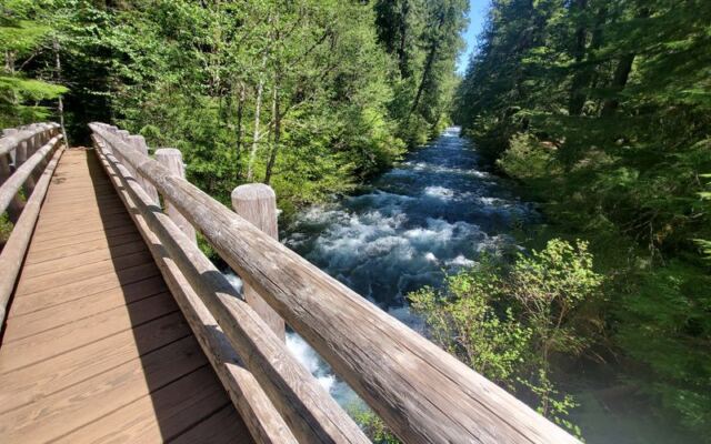
Twenty-six miles of single-track sounds like a lot, and it is. The McKenzie River Trail runs near McKenzie Bridge, OR, past Douglas firs, waterfalls, and long river views.
The trail is open 24 hours a day, every day of the week. Hikers, runners, and mountain bikers all share it, and many access points mean you can choose a short taste or a full day.
One rider described the whole route as never boring. Lava rock, lakes, creeks, and little bridges keep changing the scene.
Another said the trail is well kept and kind to dogs and kids, which makes it a fine pick for mixed groups.
Consider it a long tour of Oregon green, with plenty of exits if your legs vote early.
Tamolitch Blue Pool Payoff
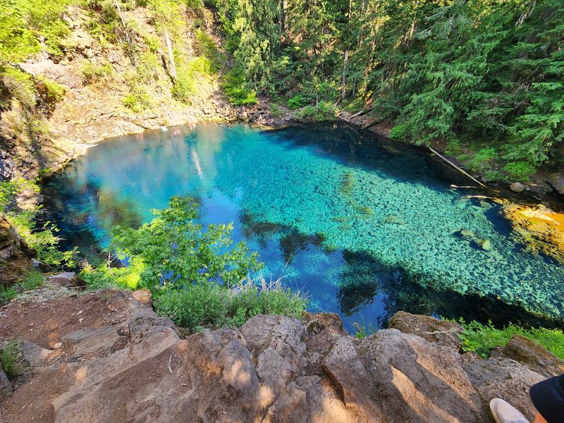
Blue is not a strong enough word. The famous pool glows like someone nudged the saturation slider, and visitors keep calling it worth every mile.
The hike in starts easy, then turns rocky and winding about halfway. The last stretch down to the water is quite steep, so plan your footing with care.
One traveler drove three and a half hours just for this view and called it completely worth it. Another hiked about 6.7 miles in and out from Ice Cap Creek in early October and raved about the fall color along the way.
Bring water, wear sturdy shoes, and give yourself time to simply stare at that color.
Sahalie and Koosah Falls Loop
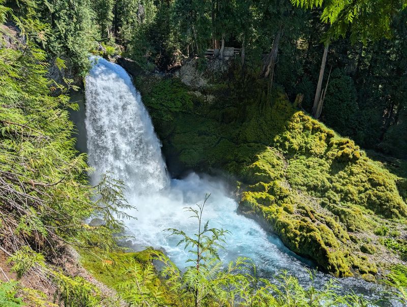
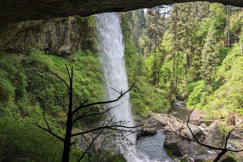
Thunder you can feel in your chest greets you at the falls. Sahalie and Koosah are the headliners of a loop that visitors return to again and again.
One hiker described a 2.5 mile loop with views of two waterfalls from several angles, and it took about three hours. Another counted three great falls on a shorter 1.5 mile out and back.
Watch your step, since roots and rocks litter the path. Snow can linger in places through April.
Here is a handy tip from visitors: if your map app gets confused about the entrance, search for Koosah or Sahalie Falls by name instead.
Where the Hot Springs Fit In
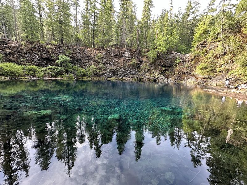
Hot springs make the headline, and one rider confirmed them on the list. After a day of waterfalls, lava rock, and lakes, that detail rounds out the route nicely.
Our data only touches on this briefly, so check the official trail website or call 541-822-6272 for current details before you plan around a soak.
Meanwhile, the trail itself offers big springs, including the Blue Pool, plus Clear Lake and plenty of creeks.
It pays to ask the locals and rangers what is open and how to reach it. Plans made with fresh information usually go smoothly, and that keeps the day relaxed.
Lava Rock, Lakes, and Big Trees
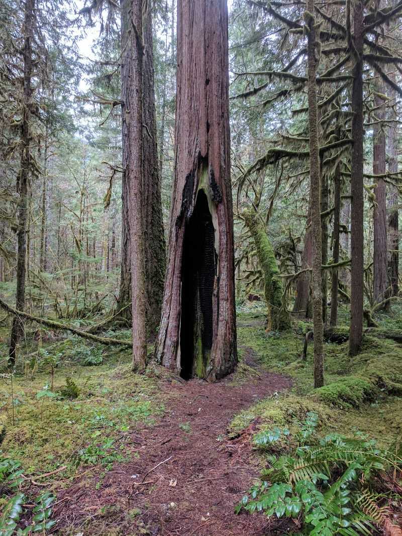
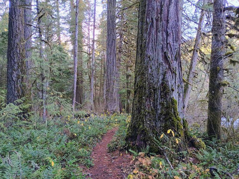
Few trails pack this much variety into one corridor. A rider listed waterfalls, lava rock, springs, lakes, big trees, creeks, and a ton of neat little bridges from a single day.
Old growth forest earns repeated mentions from visitors. One person even compared the light and trunks to redwoods, though they noted these trees are not quite the giants of the coast.
The upper trail got the nod as prettier and more interesting. Climbing, they said, felt a bit heavier on the lower section.
Either way, the scenery shifts often enough that your camera roll will fill up fast.
Mountain Biking Notes for Every Level
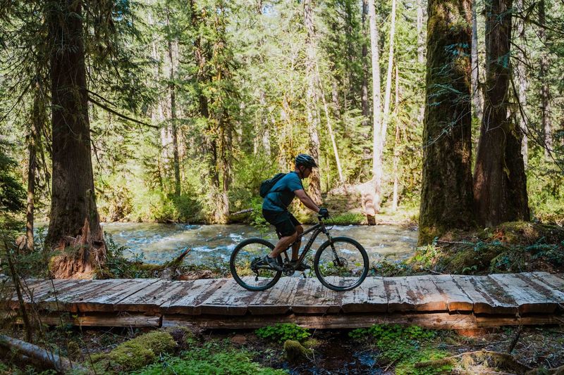
Bike people talk about this trail the way surfers talk about a good break. One rider called it an incredible ride that tests stamina and technical skills.
Visitors suggest the lower half is beginner to intermediate, while the upper half leans intermediate to advanced. One group completed all 26 miles in about six hours with plenty of stops.
Want to dodge the rockiest lava sections? Start at the Blue Pool trailhead for fast, flowing downhill singletrack.
A bike offshoot also skips the crowds at the pool itself. You miss the view, but riders say it rides much better.
Easy Strolls Along the Water
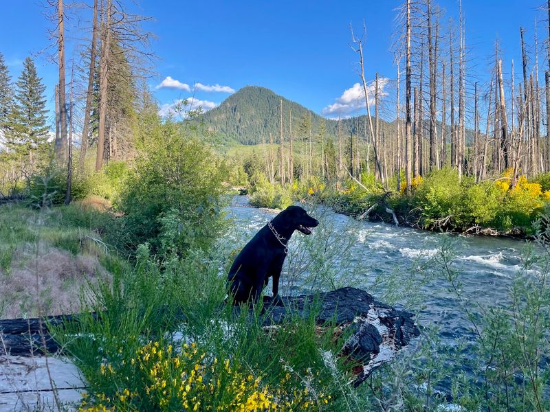
Not everyone wants a six-hour ride. Plenty of visitors call the trail easy, flat in spots, and simple to follow.
One hiker enjoyed the cool air on a hot summer day, though they warned that the water is swift. Dogs get a warm welcome, and several visitors mentioned furry friends along the path.
A boat launch for kayaks, canoes, and paddleboards sits along the way. Another visitor liked waiting by the river to cheer on passing rafters.
Short sections make this a flexible pick for families, first-timers, and anyone who prefers a mellow wander.
Picnic Stops and Quiet Corners
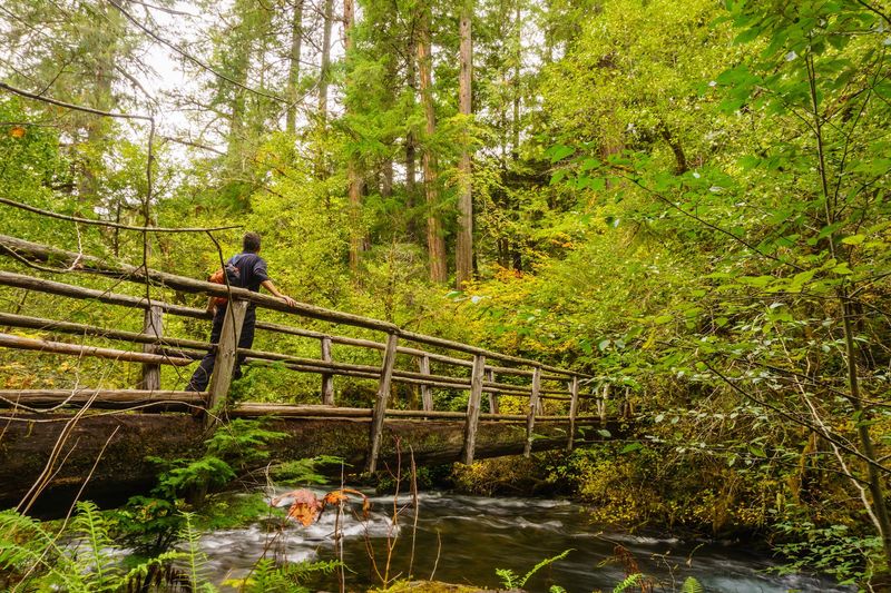
Sometimes the best stop is a plain wooden table. Visitors describe a quiet picnic area with trails down to the water.
Tables and fire pits are set up, and one person called it perfect for a pitstop along the highway. It is a small trail, but that suits a sandwich and a deep breath.
Bring water, pack out what you carry, and leave the spot as you found it. A trail reviewer put it simply: leave no trace.
Quiet corners like this are why locals keep returning, and why you might too.
Seasons, Weather, and Trail Conditions
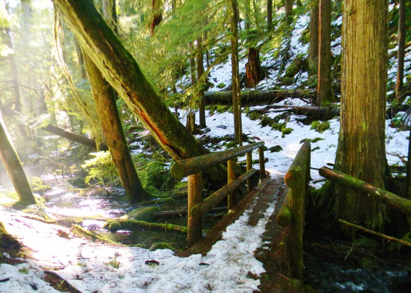
Oregon weather likes to improvise. One rider got soaked in an all-day rain, yet said the trail held up fine.
Fall draws praise for color, with an early October hiker calling the autumn show awesome. Spring can bring leftover snow in parts through April.
Summer offers cool forest air near the river. Visitors also note that fires affected sections below Rainbow, while the forest above remains beautiful.
Off-peak days thin the crowds, so a quiet midweek visit in shoulder season may reward you with more elbow room and fewer parked cars.
Getting There, Parking, and Final Verdict
Plan the logistics and the day gets easier. The address is 56621 McKenzie Hwy, and the trail is open around the clock.
Visitors say parking can be tight, and map apps may point to the wrong start. One reviewer suggested the ranger station as a good starting point with helpful information.
Another noted a closure near the Blue Pool trailhead that sends riders along Highway 126, so check ahead.
You can call 541-822-6272 or visit mckenzierivertrail.com for current conditions.
The verdict is a happy one. With a 4.7 star feel from regulars and scenery that keeps changing, this trail earns a spot on your Oregon list.
Share this story