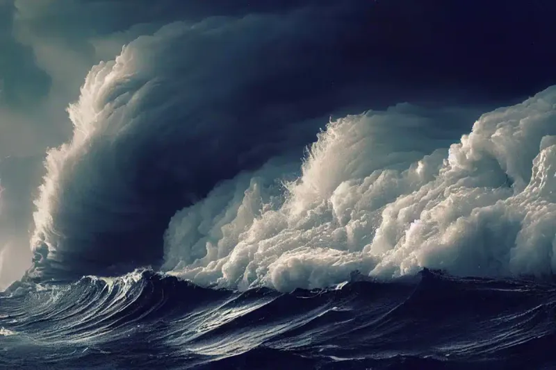
Imagine waves as tall as a six-story building crashing across the open ocean. In late 2024, satellites orbiting Earth captured ocean swells reaching nearly 20 meters—about 66 feet—the largest ever reliably measured from space. These massive waves, born from Storm Eddie in the North Pacific, traveled thousands of miles and revealed the raw power hidden beneath the ocean’s surface, changing what scientists thought they knew about how storms move energy across our planet.
Storm Eddie: The Giant Wave Maker
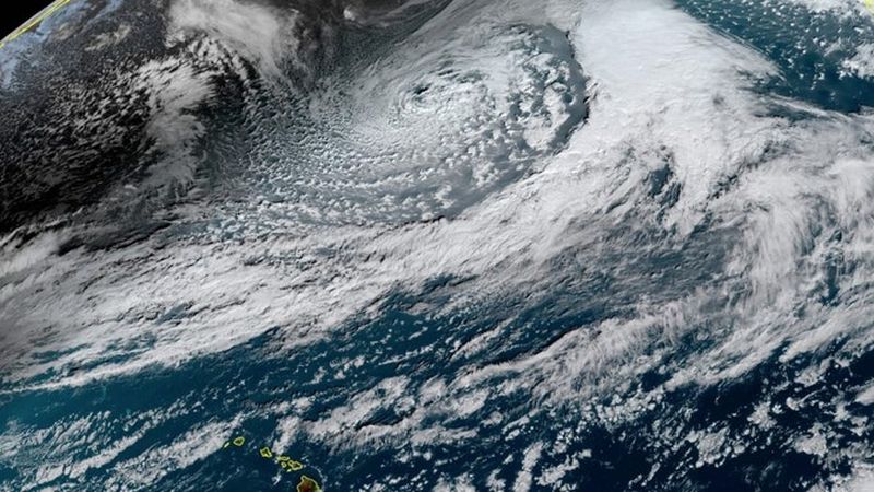
Storm Eddie roared to life in the North Pacific during December 2024, whipping up some of the most extreme ocean conditions ever observed. Wind speeds reached hurricane force, pushing water into towering mountains that rippled outward in every direction.
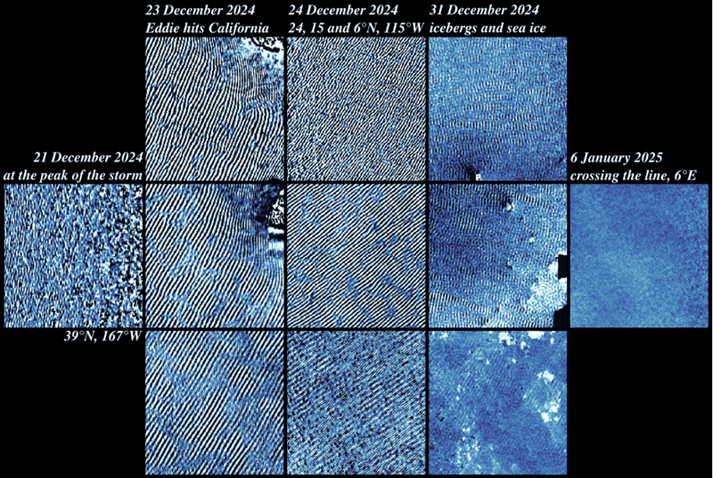
The storm didn’t just create big waves—it generated swells that lasted for weeks. Scientists watched as these energy pulses traveled nearly 24,000 kilometers, crossing from the Pacific all the way into the tropical Atlantic by early January 2025.
What made Eddie special wasn’t just its strength but its timing. Multiple satellites happened to be in perfect position to capture the event, giving researchers an unprecedented look at how storms transfer energy across entire ocean basins and reshape our understanding of wave behavior.
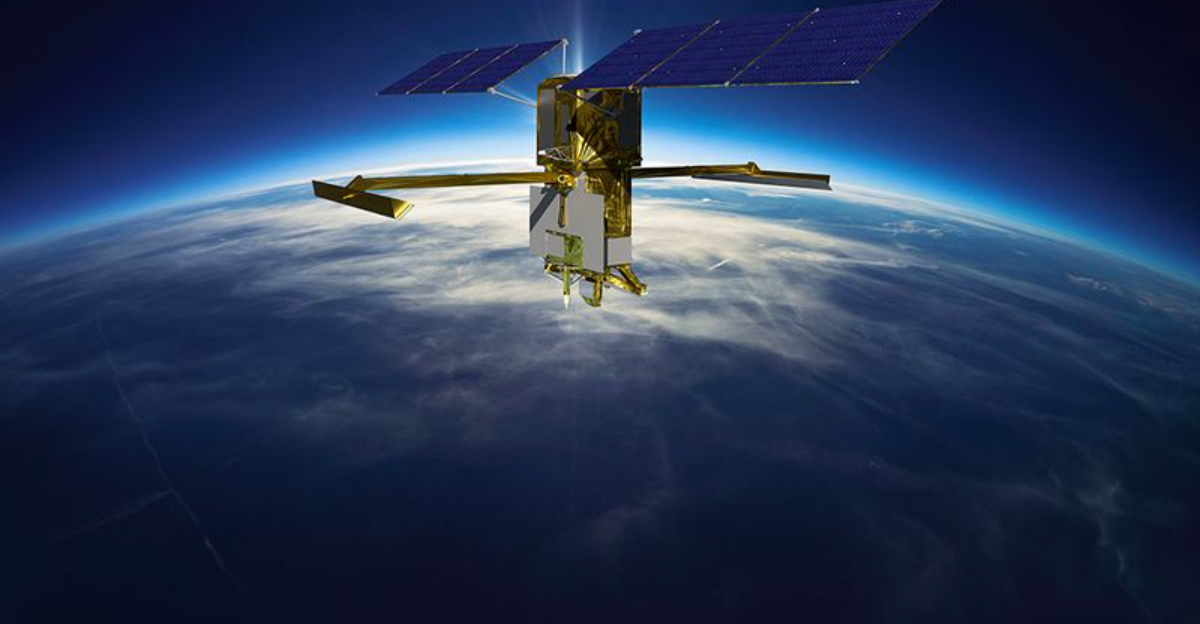
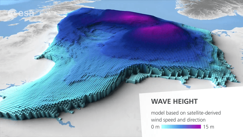
SWOT Satellite: Eyes in the Sky
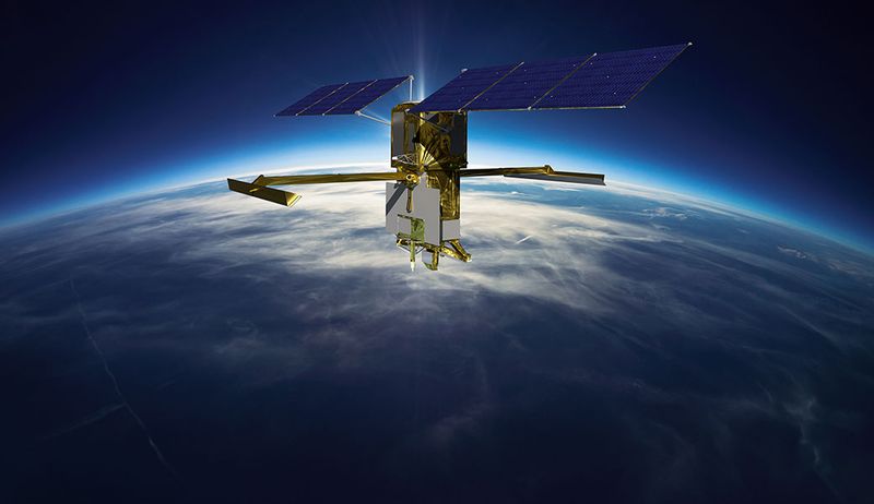
France and the United States teamed up to launch SWOT, a satellite equipped with cutting-edge radar technology that can measure ocean heights with incredible precision. Unlike older satellites that only scan narrow strips, SWOT captures wide swaths of the ocean, painting a much fuller picture of wave patterns.
During Storm Eddie, SWOT’s sensors picked up wave heights, directions, and periods in real time. The data streamed back to Earth allowed scientists to track individual swells as they moved across thousands of miles of open water.
This technology represents a quantum leap forward. Before SWOT, many extreme wave events went unnoticed or were only partially documented. Now, researchers can watch the ocean’s most powerful moments unfold from space, validating models and protecting coastal communities with better forecasts.
Waves as Tall as the Arc de Triomphe
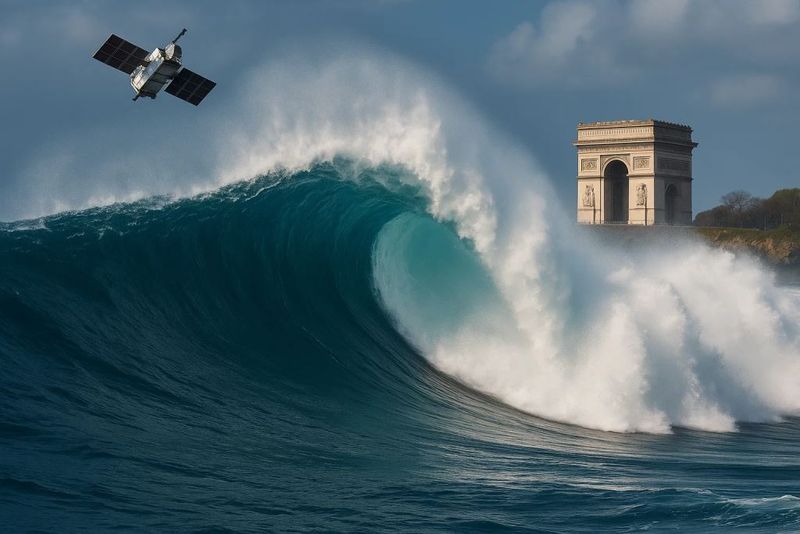
Picture standing at the base of Paris’s Arc de Triomphe and looking up to its top—that’s roughly how tall these record-breaking swells measured. At nearly 20 meters, the wave crests towered above the ocean surface like moving monuments.
For sailors and coastal residents, this comparison makes the danger real. A wave this size carries enormous energy, capable of capsizing large ships or battering coastlines with devastating force. Even experienced mariners avoid conditions like these whenever possible.
The height refers to significant wave measurements, meaning the average of the tallest third of waves in a given area. Individual rogue waves could spike even higher, though those fleeting giants are harder to capture. Still, 20-meter swells represent a sustained, colossal state of the ocean rarely witnessed.
Multiple Satellites Working Together
No single satellite could have captured the full story. The breakthrough came from combining observations from SWOT, Europe’s Sentinel satellites, and the long-running Jason series, along with data from the CCI Sea State project.
Each satellite contributes unique strengths—some excel at measuring height, others track wave direction or period. When scientists merge these datasets, they create a three-dimensional view of the ocean’s behavior that no single instrument could achieve alone.
This collaborative approach also helps validate numerical wave models. Researchers can compare what their computer simulations predict against what satellites actually observe, refining forecasts and improving our ability to anticipate extreme events. The 2024 record stands as proof that international cooperation in space science pays enormous dividends for understanding Earth.
Swells Travel Thousands of Miles
After Storm Eddie churned the North Pacific, the waves it created didn’t just disappear. They transformed into long-period swells that radiated outward like ripples from a stone dropped in a pond—except these ripples crossed an entire planet.
Satellites tracked the swells as they moved south through the Pacific, squeezed through the narrow Drake Passage between South America and Antarctica, and eventually spread into the tropical Atlantic. The total journey covered approximately 24,000 kilometers, taking several weeks to complete.
Along the way, these swells carried tremendous energy. Coastal communities thousands of miles from the original storm suddenly faced powerful surf, caught off guard by waves born in a distant ocean. This phenomenon turns storms into long-distance messengers, delivering impacts far beyond their immediate footprint.
Rethinking Wave Energy Distribution
For decades, scientists believed very long ocean swells carried most of the energy across ocean basins. The new satellite data flipped that assumption on its head.
Measurements from Storm Eddie revealed that dominant storm waves—the big, powerful swells generated directly by strong winds—actually hold more energy than previously calculated. Meanwhile, the ultra-long swells that travel farthest carry less energy than older models suggested.
Published in the Proceedings of the National Academy of Sciences, this finding forces researchers to rewrite their equations. Better models mean better forecasts, which translate to safer shipping routes and more effective coastal defenses. Sometimes, what we think we know about nature turns out to be just the beginning of a deeper truth waiting to be discovered.
Context: Even Bigger Waves Exist
While 20 meters marks a satellite record, it’s not the tallest wave ever measured. Buoys and ships have recorded larger individual waves, especially rogue waves that spike suddenly above the surrounding sea.
Tsunamis, triggered by underwater earthquakes, can create even more massive water movements, though they behave differently than storm-generated swells. The 2024 record specifically refers to significant wave height—a statistical average, not a single monstrous crest.
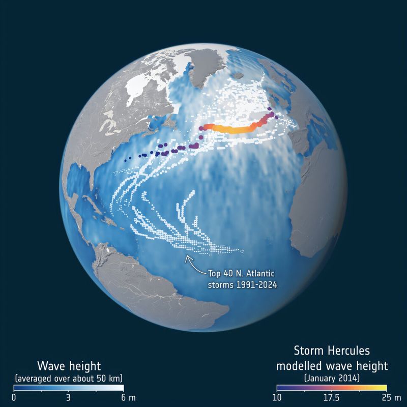
Interestingly, Storm Hercules in the Atlantic back in 2014 may have produced 23-meter waves according to models, though satellite coverage wasn’t as comprehensive then. Each new measurement adds another piece to the puzzle, helping scientists understand the full range of what Earth’s oceans can do when pushed to their limits by powerful storms.
Protecting Coasts and Ships
Why does measuring giant waves from space matter? Because better data saves lives and property.
Shipping companies can reroute vessels around dangerous conditions when forecasts accurately predict extreme swells days in advance. Coastal engineers can design seawalls and harbors that withstand the actual forces nature delivers, not just what outdated models suggested.
The 2024 observations also help emergency managers prepare remote communities. When satellites detect massive swells heading toward distant shores, warnings can go out even if the originating storm is thousands of miles away. This early-alert capability transforms abstract scientific data into practical protection, turning space technology into an invisible shield that guards coastlines and mariners worldwide against the ocean’s most powerful moods.


