Holiday sweaters might stay in the closet this year as warmth spreads across much of the country. Forecasts point to a broad, springlike pattern that could challenge decades-old Christmas records from the Midwest to the East Coast. If you have visions of snow, temper expectations, because many lower elevations will feel more like late fall. Keep reading to see where records may fall, why the setup favors warmth, and what it means for travel and the rest of winter.
Above-Average Temperatures Could Deliver a Record-Warm Christmas
Forecast guidance from Fox Weather highlights a broad ridge locking in over the central and eastern U.S., funneling mild air northward just in time for Christmas. Instead of a classic Arctic plunge, temperatures will resemble late fall, with highs in the 40s, 50s, and even low 60s depending on location. Many cities could nudge daily records that have stood since mid century.
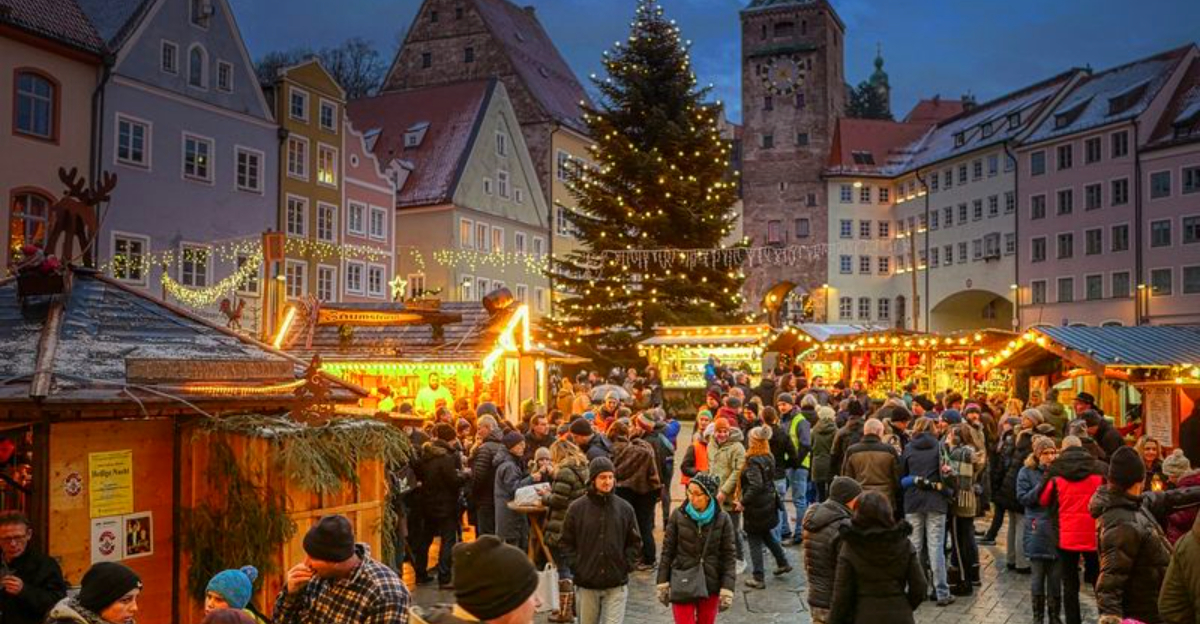
This setup slashes the odds of a widespread White Christmas outside mountains and far northern zones. Lower elevations and major population centers are most likely to trade snowflakes for raindrops or dry skies. If you were banking on a festive dusting, plan for greener lawns and softer ground underfoot.
Meteorologists stress that warm Decembers are not unprecedented, yet the geographic reach looks striking this year. The pattern reflects a winter marked by dramatic swings rather than sustained cold, tied to an active jet and limited Arctic intrusion. You can expect sweaters by morning and light jackets by afternoon, a holiday vibe that feels pleasantly mild but seasonally disorienting.
Regions Most Likely to See Record or Near-Record Highs
The central and eastern U.S. carry the strongest odds for record-challenging highs on Christmas Day. Fox Weather points to the Midwest, Ohio Valley, Mid-Atlantic, and Northeast as zones where temperatures could soar well above normal. Many communities should land in the upper 40s to mid 50s, with pockets pushing low 60s farther south.
In the Ohio Valley and Great Lakes, readings in the 40s and 50s may erase lingering snow at lower elevations. The Mid-Atlantic and interior Northeast could flirt with long-standing records if clouds thin and timing favors peak afternoon warmth. Even the Southeast will feel unusually springlike, though record potential is less widespread there.
Forecasters caution that cloud cover, drizzle, or a weak front’s timing could trim highs by a few degrees. Still, confidence is high that temperatures stay well above average across a broad swath. If you want specifics, check your local forecast Sunday night since small shifts can decide whether a record is tied, broken, or missed by a hair.
Why This Christmas Will Be So Warm
A strong upper-level ridge over the eastern U.S. is the primary driver, deflecting storm tracks and locking cold air in Canada. With the jet stream displaced north, mild Gulf and southern Plains air can surge freely. Without a polar vortex disruption, true Arctic blasts struggle to penetrate the Lower 48.
Fox Weather meteorologists emphasize that this pattern favors prolonged mild intervals rather than brief thaws. The ridge effectively caps chilly air to the north while allowing weak fronts to pass with limited bite. For many of you, that means rain instead of snow and slushy, quick-melting patches where flakes do fall.
Climate context matters too. While a single warm holiday cannot be pinned solely on climate change, long-term warming increases the odds of record events. Christmas records are vulnerable because averages hover near freezing, so a modest shift can break marks. The result is a season that feels like a roller coaster, with comfortable interludes now and the door still open to sharp cold snaps later.
What the Warm Christmas Means for Snow, Travel and Winter Outlook
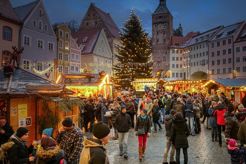
Warmer than normal temperatures mean snow chances drop outside mountains and far northern areas. Fox Weather expects below-average White Christmas coverage nationally, especially across lower elevations and big cities. If you are traveling by car, that likely translates to fewer snow and ice hazards on major routes.
Flights could benefit too, with fewer deicing delays, though fog or rain may still spark localized hiccups. Keep an eye on visibility forecasts for early morning departures. For outdoor plans, think waterproof layers rather than thermal gear, and expect soggy turf that tracks mud onto boots and floors.
Do not mistake a mild holiday for the end of winter. Cold air still lurks in Canada, waiting on a pattern shift that could open the gate in late December or January. Forecasters stress the setup is dynamic, so a new jet configuration can flip the script quickly. Enjoy the comfortable interlude now, but keep shovels handy and batteries charged.


