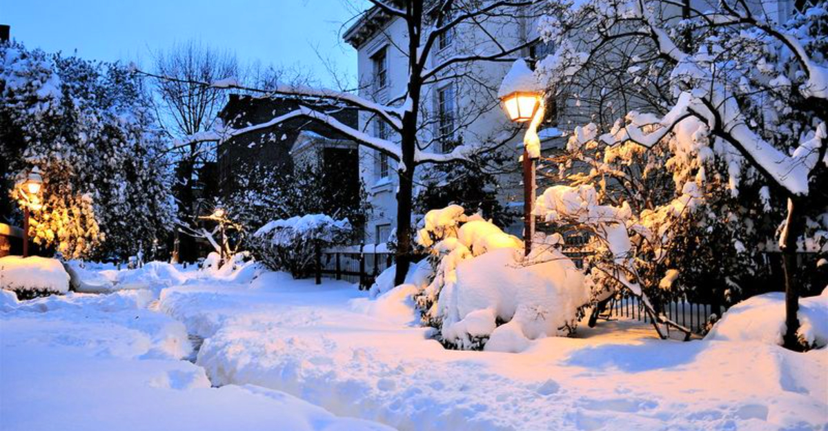
A powerful atmospheric river is hammering Juneau with a volatile mix of heavy snow, rain, and flooding, and officials are urging swift action. If you live in avalanche zones, this is the moment to pay attention and move to safer ground. Conditions can shift fast, and slides may strike without obvious warning.
Stay tuned, stay prepared, and do not wait for the last minute to act.
Authorities in Juneau are urging residents in known avalanche zones to relocate as a precaution, citing a rapid shift from heavy snowfall to soaking rain. You are being asked to treat this as life safety, not mere inconvenience, because slides can initiate suddenly and accelerate in seconds. Shelters are open, and officials are coordinating transportation for anyone needing assistance.
The risk is spiking as rain adds weight and lubrication to the existing snowpack on steep mountain faces that ring the city. This combo can shear layers and send dense, heavy slides downslope without visible cues. If you are within the mapped hazard areas, follow evacuation guidance immediately and keep routes clear for crews.
Juneau’s terrain and tight valleys concentrate avalanche runouts, increasing the danger to homes and roads. Officials emphasize that evacuations are precautionary but time critical, especially overnight when visibility drops. Stay off closed roads, avoid lingering near steep slopes, and monitor alerts for changing conditions.
Keep go bags ready, charge phones, and check on neighbors who may need help evacuating. Do not return until authorities clear your area. You can replace belongings, not lives.
A strong atmospheric river is funneling tropical moisture into Southeast Alaska, stacking heavy snow at elevation while pouring rain onto lower slopes and towns. You are seeing a classic two tier hazard scenario: deep snow above, rapid runoff below. Drainage systems can get overwhelmed quickly as rain falls onto frozen ground and existing snow.
Forecasters warn of localized flooding, debris flows, and rising creeks, especially where channels are choked by ice and slush. At higher elevations, ongoing snowfall is loading unstable slopes, priming both wet avalanches and slush flows. Warming temperatures add another nudge toward instability.
Atmospheric rivers routinely drive extreme precipitation along the Pacific coast and Alaska, packing impacts similar to short, intense tropical systems. This one is no different, compressing days of moisture into hours. The situation will evolve rapidly as snow levels fluctuate.
Protect yourself by limiting travel, steering clear of avalanche paths, riverbanks, and steep gullies. Heed closures and give crews room to work. Keep weather radios on, follow local alerts, and expect conditions to change fast.
Rain on snow is a proven recipe for instability because liquid water seeps between layers, weakens bonds, and adds significant weight. If you picture stacked plates greased with oil, you get the idea. Slopes that held yesterday can fail today once rain lubricates and overloads the pack.
Wet avalanches move slower than dry powder slides but carry more mass, dragging rocks, trees, and ice. That debris turns runouts into destructive chutes with surprising reach. Roads, homes, and utilities on valley floors are at heightened risk.
Flooding is a twin hazard, as rain accelerates melt and sends torrents downhill. Culverts clog with slush, water backs up, and roads can wash out. Even when skies brighten, the snowpack keeps adjusting, so instability lingers for hours or days.
Respect posted closures and stay out of known avalanche paths during these conditions. If you must travel, avoid runout zones, carry emergency gear, and tell someone your route. The safest choice is to postpone plans until conditions stabilize.
Juneau officials say early action saves lives, and that means signing up for alerts, keeping a go bag ready, and moving when told. You should plan for at least several days of disruption if roads close or power flickers. Crews are tracking snowpack stability, rain rates, and stream gauges around the clock.
Do not assume the risk ends when the rain eases. Avalanche danger often persists as the snowpack settles and refreezes in layers. Backcountry travel, hiking, and skiing should wait until hazard levels drop and forecasts turn favorable.
Climate variability is bringing more mixed phase storms, where warm moisture meets cold terrain. That pattern complicates forecasting and can catch people off guard. Officials are adapting plans, but personal preparedness remains your best defense.
Stay connected to local channels, respect closures, and help neighbors who may need evacuation assistance. Keep vehicles fueled, store essentials, and maintain clear access for emergency responders. Choosing caution now keeps options open when conditions change fast.


