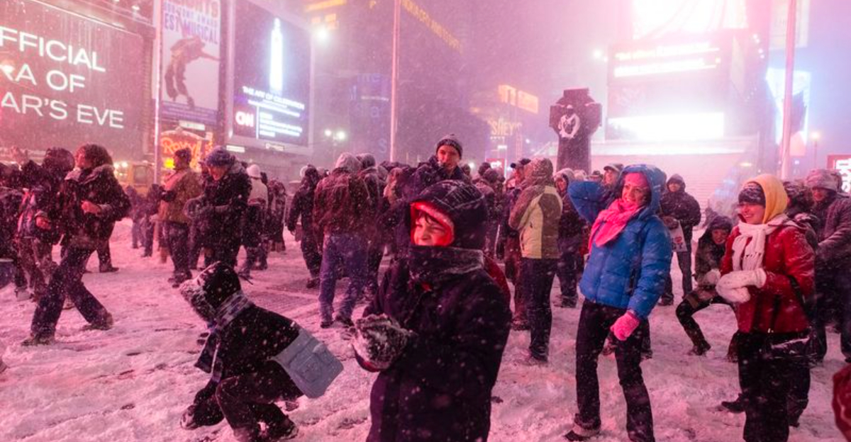
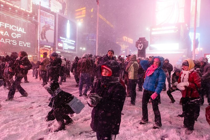
A rapidly intensifying nor’easter is turning the Carolinas and Virginia into a battleground of snow, wind, and surf. You can feel the stakes rise by the hour as pressure plunges and bands of heavy snow stack up along the coast.
If you live near the water or plan to travel, the window for safe moves is closing fast. Stay with this timeline to understand what is happening now and what comes next.
Off the Southeast coast, a compact low deepens quickly as Arctic air collides with warmer Atlantic waters. You can watch the satellite loops show curved snow bands sharpening, a telltale sign of rapid intensification into a bomb cyclone.
Heavy snow is already stacking up from central North Carolina into Virginia, with rates that overwhelm plows during the most intense bursts.
Forecasters highlight the steep pressure falls and expanding wind field, a classic nor’easter signature. As the core hugs the coastline, moisture streams inland and pivots into narrow corridors of thundersnow and whiteout visibility.
Expect totals near or exceeding a foot where mesoscale bands stall, especially east of I-95 and near higher terrain funnels.
Closer to the coast, tropical-storm-force gusts push spray and snow horizontally, complicating any attempt to travel. You will notice drifts building along fences and shoulders, plus rapid icing on bridges and overpasses.
Through Sunday, the storm deepens, then slowly lifts, but its legacy will be buried cars, downed limbs, and a cold bite that keeps roads slick long after flakes end.
The wind field tightens as the low bombs out, sending tropical-storm-force gusts sweeping from the Outer Banks into southeast Virginia. You will feel windows rattle and hear transformer pops as snow flies sideways across open stretches.
Visibility plummets in ground blizzards, even when radar shows only moderate echoes.
These winds reshape the storm’s footprint, piling drifts waist-high in open lots while scouring other spots nearly bare. Along exposed capes and inlets, onshore flow stacks water toward high tide, raising the risk of coastal flooding and fresh erosion scarps.
Tree limbs, already loaded with sticky snow, snap and take lines down, darkening neighborhoods block by block.
Farther inland the gusts ease, but blowing and drifting still turn commutes into hazards. If you must drive, expect sudden whiteouts near fields and bridges where crosswinds peak.
Plan on detours around debris, and remember that plow walls can hide stranded vehicles, a serious concern when rescue crews fight both zero visibility and rapidly changing wind shifts.
Forecast guidance clusters around a broad swath of 6 to 12 inches from the central Carolinas into southern and eastern Virginia, with localized jackpots beneath persistent bands. You could wake to a sharp gradient near the coast where mixing trims totals, yet snow remains dominant for most.
Track wobbles of 25 to 50 miles will decide who shovels twice and who digs out all day.
Urban corridors like Raleigh and Richmond face heavy rates that quickly overcome treatment, especially on elevated ramps and shaded arterials. Flights will struggle as crosswinds and visibility drop, forcing cancellations and diversions.
Expect power interruptions where wet snow clings, and remember that repair times lengthen when winds keep bucket trucks grounded.
Behind the snow, Arctic air locks in subfreezing highs and hard overnight lows, preserving slick surfaces. You should salt refreeze zones late day and early morning, when black ice blooms.
Schools and municipal services may stagger reopenings, and rural routes could remain drifted shut until graders and loaders carve paths through stubborn wind-packed snow.
Before the worst bands arrive, charge devices, fill the car, and gather a 72-hour kit with water, shelf-stable food, medications, and pet supplies. You will want flashlights, spare batteries, a weather radio, and backup heat that is vented and safe.
Park vehicles away from trees, and know how to manually open your garage if power fails.
If travel is unavoidable, equip your vehicle with blankets, shovel, traction material, scraper, and a portable charger. Slow down, increase following distance, and watch for plow convoys that need room to work.
Avoid flooded coastal roads where saltwater hides washouts and can disable engines within seconds.
Stay connected to local offices, NWS alerts, and power utility maps for outage and restoration updates. Check on neighbors who might need help, especially seniors and those with medical devices.
After the snow ends, beware roof sheds, falling ice, and carbon monoxide risks from generators, and pace the shovel to prevent overexertion in the lingering Arctic chill.


