
The National Weather Service has released its Christmas forecast discussion, and snow is definitely on the menu for many Americans this holiday season. From the towering peaks of the Sierra Nevada to the cozy villages of New England, a total of eighteen states are expecting some form of winter weather. Whether you’re dreaming of a white Christmas or planning holiday travel, knowing which states are in line for snow can help you prepare for the festivities ahead.
1. California – Sierra Nevada (and northern ranges)
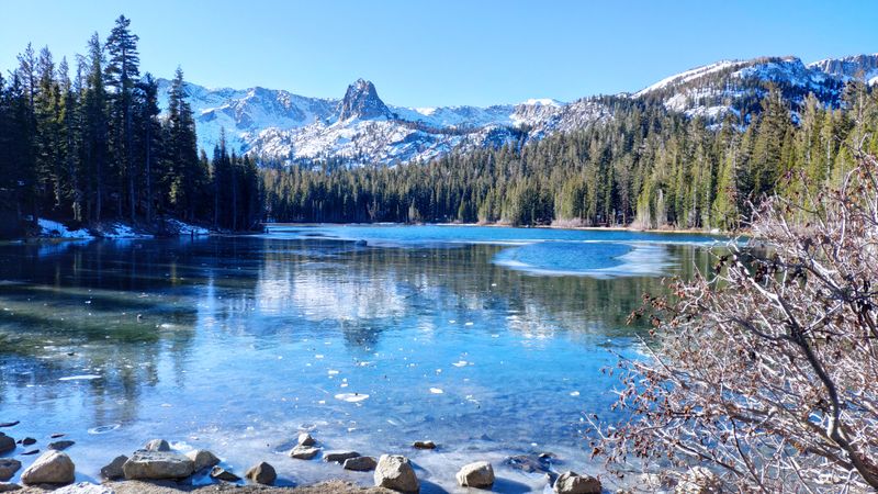
Mountain lovers in California are about to experience an epic winter event. A powerful atmospheric river is taking aim at the Sierra Nevada, bringing storm-total snowfall exceeding four feet above 6,500 feet elevation.
Northern California’s mountain ranges will also see their share of white stuff. Ski resorts are celebrating as this Christmas gift promises excellent powder conditions.
Travel over mountain passes could become treacherous or impossible during peak snowfall periods. Anyone heading to Tahoe or other Sierra destinations should monitor road conditions closely and pack emergency supplies for their vehicles.
2. Washington – Cascades (including Snoqualmie Pass)
Washington’s Cascade Range is preparing for significant accumulation this holiday season. Forecast models show Day 3 probabilities reaching 40 to 70 percent for more than six inches of snow, with Snoqualmie Pass squarely in the bullseye.
Drivers crossing the mountains on Interstate 90 should expect winter driving conditions. Chain requirements will likely be in effect, and delays are probable during the heaviest snowfall.
Mountain communities are stocking up on supplies as this system approaches. Local ski areas are excited about the fresh powder arriving just in time for the holiday week.
3. Oregon – Cascades (including Santiam Pass)
Oregon’s mountains won’t miss out on the Christmas snow party. The Cascades running through the state have approximately 30 percent odds for accumulations exceeding six inches during the Day 3 forecast window, with Santiam Pass specifically highlighted.
Highway 20 travelers should plan for winter conditions. The pass often closes during heavy snow events, so alternative routes may be necessary for those crossing the state.
Bend and other eastern Oregon communities could see spillover effects from this mountain snow. Even lower elevations might catch some flakes as the system moves through the region.
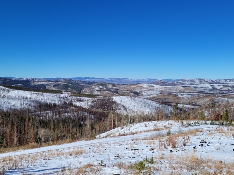
4. Nevada – central Nevada ranges
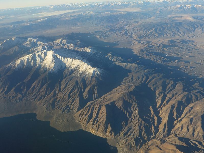
Nevada isn’t just desert and casinos. The highest ranges in central Nevada are looking at meaningful snow chances this Christmas, with probabilities for more than six inches showing up in multiple outlook periods.
These remote mountain ranges often get overlooked in weather discussions. However, they can receive impressive snowfall when conditions align properly, and this event appears to be one of those times.
Backcountry enthusiasts should exercise caution if venturing into these areas. The combination of fresh snow and remote terrain creates avalanche concerns and navigation challenges for even experienced winter travelers.
5. Idaho – Sawtooths (and nearby higher terrain)
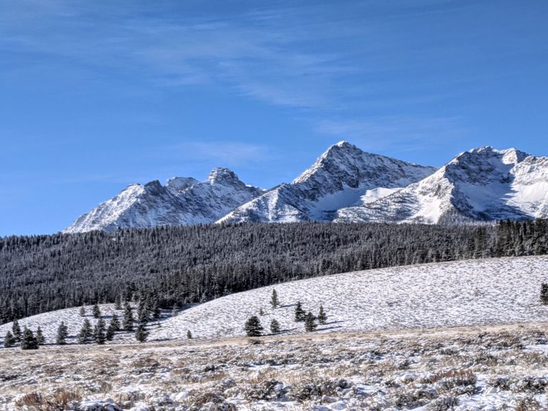
Idaho’s iconic Sawtooth Range is directly mentioned in the forecast discussion. The rugged peaks and nearby higher terrain show strong signals for accumulating snow, with probabilities for six-plus inches appearing in the relevant forecast window.
Snow levels will play a critical role in determining who sees what. Valley locations might see rain transitioning to snow, while the mountains pile up significant totals throughout the event.
Stanley, often called the coldest town in the Lower 48, could see particularly impressive snowfall. Residents there are well-prepared for winter weather, but this system promises to test even their hardy resolve.
6. Montana – western Montana (and nearby ranges)
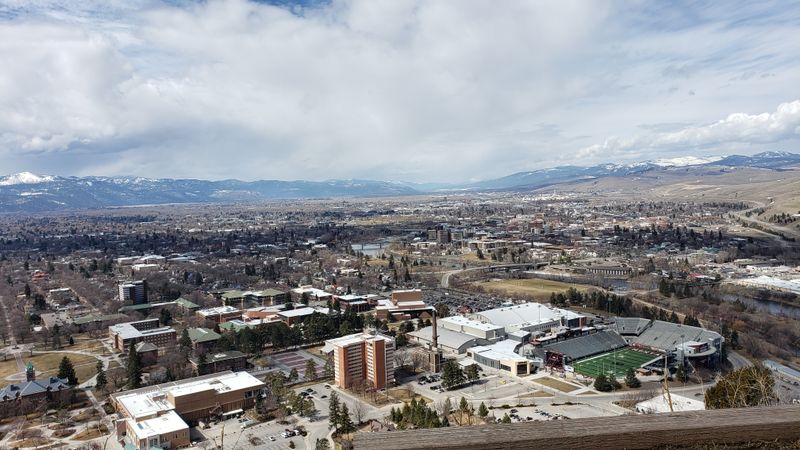
Big Sky Country is living up to its name with this forecast. Western Montana and nearby mountain ranges fall along an axis extending from the Pacific Northwest, bringing snow levels and accumulation potential described throughout the regional discussion.
Missoula and surrounding communities should prepare for winter impacts. Mountain passes connecting Montana to Idaho could see difficult travel conditions as the system sweeps through.
Ski areas like Big Sky and Whitefish are anticipating excellent conditions. This Christmas snow event could set up fantastic skiing for the remainder of the holiday week and beyond.
7. Wyoming – Wind River Range
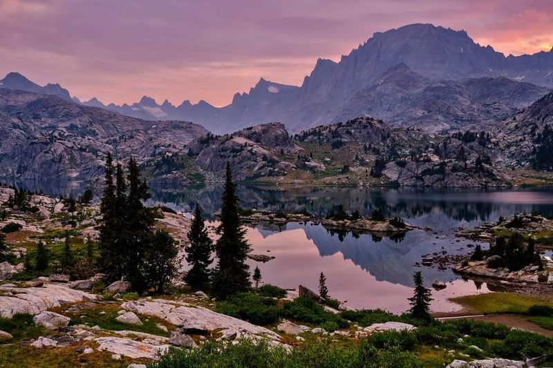
Wyoming’s Wind River Range is highlighted for substantial snow probabilities. These spectacular mountains, home to some of the state’s highest peaks including Gannett Peak, show strong signals for more than six inches in the mountain snow forecast.
The range sits in a favorable position for this particular weather pattern. Moisture streaming in from the west will encounter these high peaks, wringing out impressive snowfall totals.
Lander and Pinedale residents know what mountain snow means for their communities. While valleys may see lighter amounts, the high country will be transformed into a true winter wonderland by Christmas Day.
8. Utah – Uinta Mountains
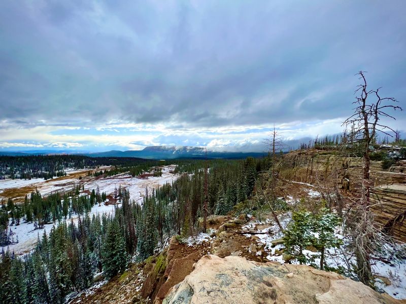
Utah’s Uinta Mountains appear in the forecast discussion with notable snow probabilities. Running east-west unlike most North American ranges, the Uintas are positioned to capture moisture and convert it into significant accumulation exceeding six inches.
These mountains provide critical watershed for communities across northeastern Utah. Heavy snow here means good news for water supplies next spring and summer when snowmelt feeds rivers and reservoirs.
Mirror Lake Highway and other high-elevation routes are already closed for winter. The Christmas snow will add to the impressive snowpack building in these remote and beautiful mountains.
9. Colorado – western Colorado ranges
Colorado’s western ranges are included in the snowier mountain corridor expected to continue into later forecast periods. From the Elk Mountains to the San Juans, these peaks will see accumulating snow as the pattern remains active through Christmas.
Vail, Aspen, and Telluride are among the world-famous ski towns benefiting from this forecast. Fresh powder arriving during the holiday week means packed slopes and happy vacationers celebrating in true Colorado style.
Interstate 70 through the mountains could face periodic closures or restrictions. Travelers heading to mountain destinations should build extra time into their plans and prepare for chain requirements.
10. Maine – interior and east-central Maine (including coastal impacts near Portland)
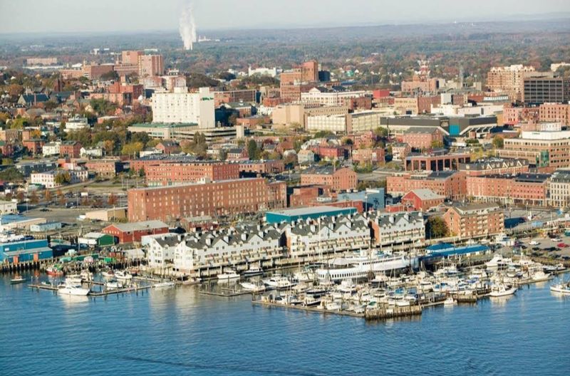
Maine stands out with particularly high snow probabilities in the forecast discussion. East-central Maine shows greater than 50 percent odds for accumulations exceeding eight inches, while interior sections have broad high chances for more than four inches.
Portland and coastal areas might see impacts as well. The exact track of the system will determine whether coastal locations get buried in snow or just catch the edge of heavier bands.
This could be the white Christmas many Mainers hope for each year. From Bangor to Bar Harbor, communities are preparing for what could be a significant winter weather event.
11. New York – Adirondacks (plus snowier higher terrain signals later)
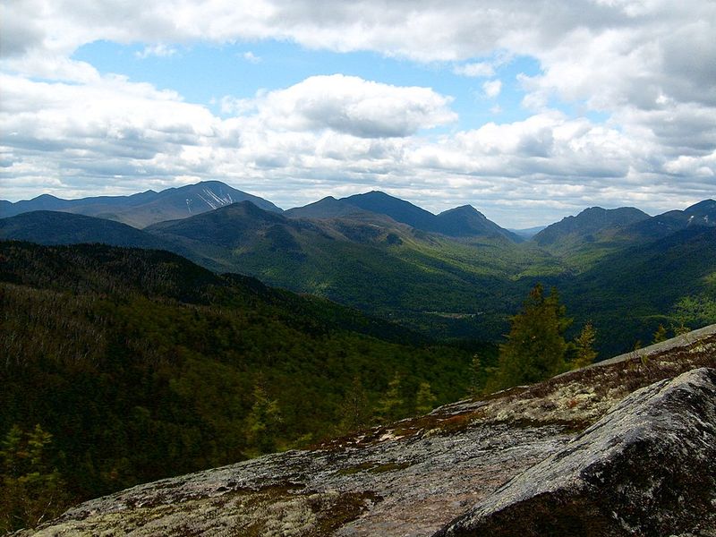
New York’s Adirondack Mountains are called out among areas with high chances for significant snowfall. These ancient peaks often outperform surrounding lower elevations when winter storms track through the region, and this event appears no different.
Lake Placid and other mountain communities are no strangers to heavy snow. The Adirondacks can create their own enhancement when storms pass nearby, adding to already impressive forecast totals.
Skiers at Whiteface and Gore Mountain are anticipating excellent conditions. Beyond the holiday week, additional systems may bring more snow to higher terrain across the region.
12. Vermont – Green Mountains
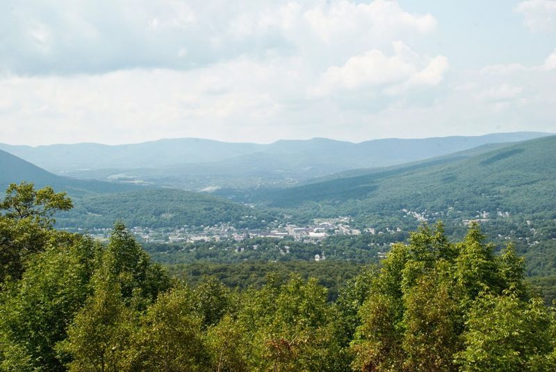
Vermont’s Green Mountains are explicitly included in the higher-probability snowfall corridor. Running the length of the state, these mountains will see enhanced snowfall compared to lower elevations on either side.
Stowe, Killington, and Sugarbush ski resorts are thrilled about the timing. Christmas week is one of the busiest periods of the ski season, and fresh natural snow makes everything better for vacationing families.
Route 100 through the heart of the Greens could see challenging travel conditions. The scenic highway winds through mountain gaps where snow piles up quickly during favorable weather patterns.
13. New Hampshire – White Mountains
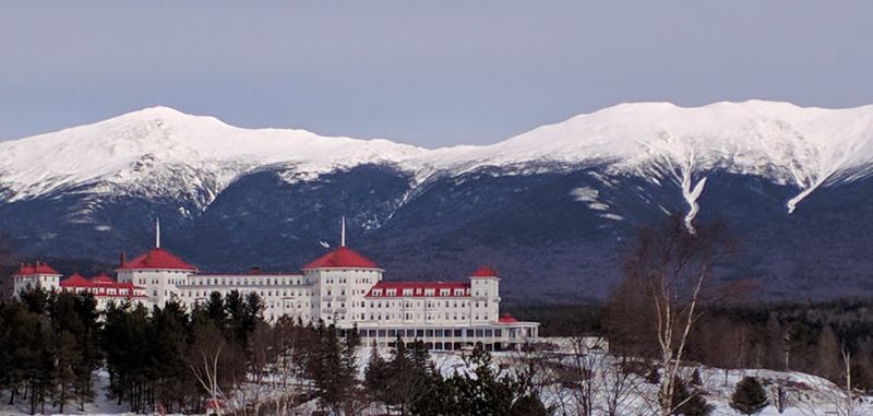
New Hampshire’s White Mountains are explicitly mentioned in the favored snow zone. Home to Mount Washington and the Presidential Range, these mountains are legendary for extreme weather and heavy snowfall during winter storms.
The Mount Washington Observatory often records some of the most severe conditions in the Lower 48. This Christmas event could bring another chapter to the mountain’s storied weather history.
North Conway and surrounding communities prepare for tourist influx during powder events. The combination of Christmas week and fresh snow brings skiers, snowboarders, and winter enthusiasts from across the Northeast.
14. Massachusetts – eastern MA and the MA Capes (chance of bursts of heavy snow)

While the heaviest snow focus lies farther north, Massachusetts isn’t entirely left out. The forecast discussion notes that bursts of heavy snow cannot be ruled out as far south as the Massachusetts Capes before the storm system exits the region.
Boston and eastern Massachusetts sit in a tricky forecast zone. Small shifts in storm track could mean the difference between a coating and several inches of accumulation.
Cape Cod and the Islands often see different precipitation types than the mainland. This event could bring brief heavy snow to Provincetown and Nantucket before changing to other forms or ending.
15. North Dakota – northern North Dakota (late Christmas Day into night timing)
North Dakota appears in the Great Lakes section of the discussion. A band of mixed precipitation including snow is expected to move across northern North Dakota Thursday night, which falls on December 25th, bringing Christmas evening snow to the region.
Grand Forks and communities along the Canadian border should monitor conditions. The timing means evening and overnight travel on Christmas could become hazardous as the band moves through.
Amounts may not be huge, but any snow on Christmas adds to the holiday atmosphere. Prairie communities are accustomed to winter weather, but timing during holiday travel periods always requires extra attention.
16. Minnesota – northern Minnesota (including the Arrowhead)
Northern Minnesota is included in the same precipitation band affecting North Dakota. The forecast discussion specifically flags the Minnesota Arrowhead as one of the exceptions where snow totals may be higher than surrounding areas.
Duluth sits at the tip of the Arrowhead, where Lake Superior can enhance snowfall. The combination of lake effects and the synoptic system could produce impressive totals in favored locations.
The Boundary Waters and North Shore communities are preparing for a proper white Christmas. This region often leads Minnesota in snowfall, and this event should maintain that reputation.
17. Wisconsin – northern Wisconsin
Wisconsin’s northern counties are expected to see the precipitation band extend into their area. Snow is mentioned as part of the precipitation type mix, though exact amounts will depend on how the band sets up.
Superior and Ashland along Lake Superior’s south shore could see enhancement. The lake rarely freezes completely, providing moisture for additional snow when winds blow from the right direction.
Northwoods communities from Rhinelander to Eagle River are hoping for a white Christmas. This band arriving on Christmas Day should deliver at least some accumulation to satisfy holiday wishes.
18. Michigan – Upper Peninsula (best snow signal), while lower Michigan trends more mix
Michigan is included with an interesting split in the forecast. Snow is specifically referenced for the Upper Peninsula, which shows the best signal for accumulation, while the Lower Peninsula or Mitten may skew more toward mixed precipitation or icy conditions.
Marquette and Houghton regularly compete for snowiest city honors in the eastern United States. This Christmas system should add to their already impressive seasonal totals.
Meanwhile, Detroit and Grand Rapids face uncertainty. The warm side of the system may bring rain or freezing rain instead of the fluffy snow their northern neighbors enjoy.


