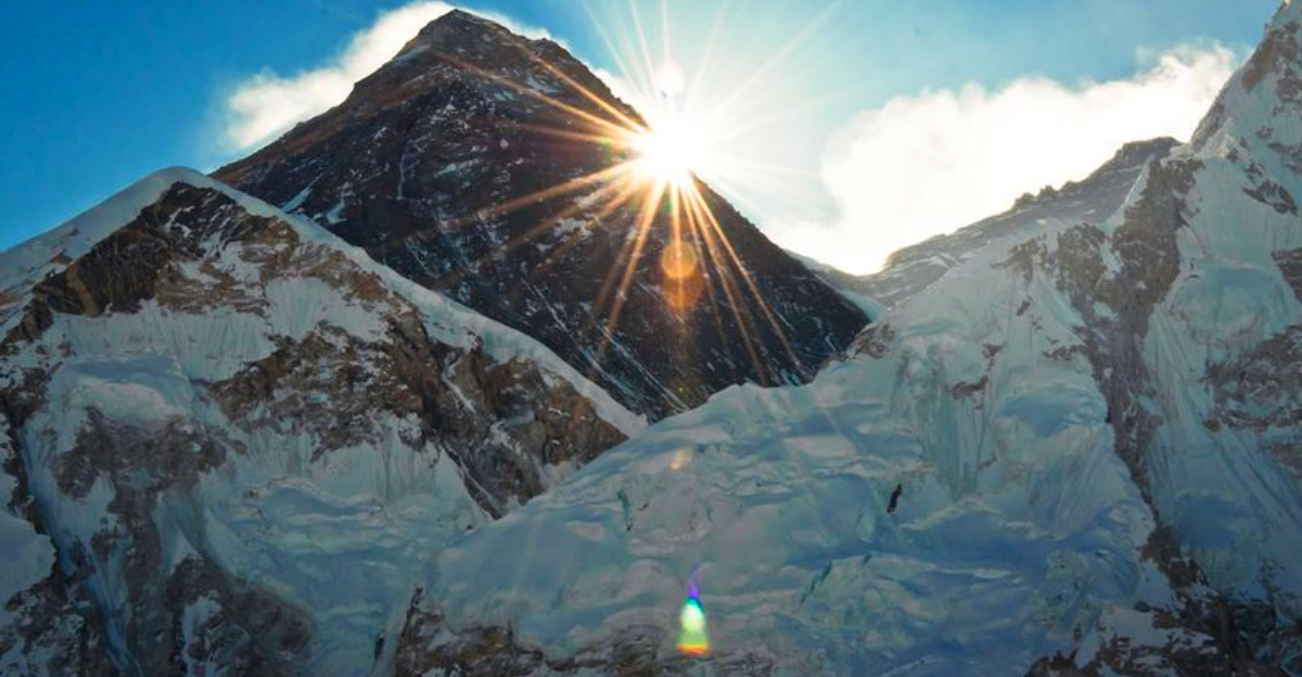
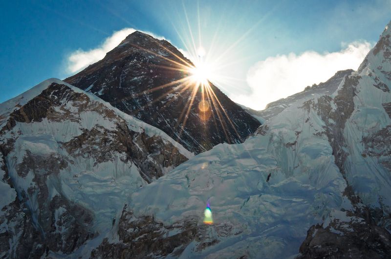
When you think of the tallest mountains on Earth, Mount Everest probably comes to mind. But what if we told you that the real giants are hiding deep underground, where no human has ever been? Scientists have discovered massive structures beneath our feet that are nearly 100 times taller than Everest, reshaping everything we thought we knew about our planet’s interior.
Mount Everest has held the title of Earth’s tallest mountain for as long as we’ve been measuring peaks. Standing at 8.8 kilometers high, it towers above everything else on the surface. But deep beneath our feet, hidden where no one can see them, exist structures that make Everest look like a tiny hill.
Advanced seismic technology has revealed formations reaching up to 1,000 kilometers in height. That’s more than 100 times taller than Everest! These underground giants stretch from the Earth’s core toward the surface, invisible yet undeniably massive.
Scientists use earthquake waves to map these hidden features. When seismic waves travel through different materials, they change speed and direction. By studying thousands of earthquakes over many years, researchers pieced together images of these colossal structures lurking in Earth’s deepest layers.
Imagine standing at the bottom of the deepest ocean trench. Now go deeper, past the ocean floor, through the rocky crust, and down through thousands of kilometers of hot mantle rock. Eventually, you’d reach the core-mantle boundary, nearly 2,900 kilometers below your feet.
This boundary marks where Earth’s solid rocky mantle meets the liquid metal outer core. Temperatures here exceed 3,700 degrees Celsius, hot enough to melt almost anything. The pressure is crushing, millions of times greater than at sea level.
These underground mountains rest right at this extreme boundary. Scientists study them using seismic waves from earthquakes because it’s the only way to see so deep. No drill could ever reach these depths, and no human will ever visit them directly, making seismic imaging our only window into this alien world.
Scientists love acronyms, and these underground giants got a particularly technical name: Large Low Shear Velocity Provinces, or LLSVPs for short. The name describes exactly what makes them special in the world of geology.
Shear waves are a type of seismic wave that moves through rock by shaking it sideways. When these waves hit the LLSVPs, they slow down dramatically compared to surrounding mantle material. This velocity change tells scientists that something chemically or thermally different exists in these zones.
Think of it like running through water versus running on land. You move much slower through water because it’s denser and offers more resistance. Similarly, seismic waves crawl through LLSVPs at reduced speeds, revealing their unique properties. This slowdown creates a signature that scientists can detect and map from thousands of kilometers away using sensitive instruments.
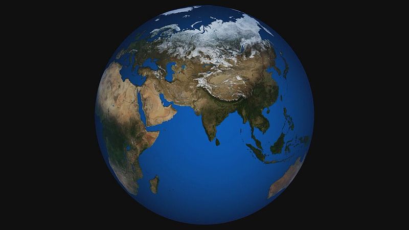
Our planet hosts two of these massive underground formations, and their locations are surprisingly specific. One sprawls beneath the African continent, while its twin sits under the central Pacific Ocean. Each one spans thousands of kilometers across.
The African LLSVP extends from southern Africa northward, covering an area larger than the continent itself. Its Pacific counterpart is even bigger, stretching across much of the ocean floor. Together, they represent some of the largest distinct structures inside Earth.
Why only two? Scientists aren’t completely sure, but their positions aren’t random. Both sit roughly opposite each other on the globe, suggesting they might be connected to ancient patterns of heat flow and material circulation deep within our planet. Their placement has remained stable for hundreds of millions of years, anchoring themselves against the constant churning of mantle convection.
Numbers can be hard to wrap your head around, especially when they get really big. So, if you stacked 113 Mount Everests on top of each other, you’d finally reach the height of these underground mountains. That’s how mind-bogglingly tall they are.
Everest reaches 8.8 kilometers above sea level. These underground structures tower at approximately 1,000 kilometers from base to peak. If somehow you could pull one to the surface, it would pierce through the atmosphere and extend into space!
Of course, they’d never survive on the surface. The extreme pressure at the core-mantle boundary keeps them stable. Without that crushing weight, they’d likely collapse or melt. Still, their sheer size challenges our understanding of what geological structures can exist. Nothing on Earth’s surface comes even remotely close to matching their vertical scale.
Don’t let the word mountain fool you. These aren’t rocky peaks like the Himalayas or the Rockies. They don’t have snow-capped summits or hiking trails. Instead, they’re thermochemical anomalies, which is a fancy way of saying they’re regions of unusually hot and dense mantle material.
Surface mountains form when tectonic plates collide and push rock upward. Underground mountains form through completely different processes. They consist of mantle rock that’s chemically distinct from its surroundings, possibly enriched with iron and other heavy elements.
Temperature also plays a role. These zones are hotter than the surrounding mantle, though not molten. The combination of different chemistry and higher temperature creates the unique seismic signature scientists detect. Think of them less as solid mountains and more as giant blobs of unusual material sitting at Earth’s deepest accessible boundary, defying mixing for billions of years.
For years, scientists knew something unusual existed at the core-mantle boundary, but the picture remained fuzzy. Then came the QS4L3 model, a breakthrough that changed everything. This sophisticated computer model analyzes how earthquake vibrations travel through Earth’s interior.
Researchers fed data from thousands of earthquakes into powerful computers. The model tracked how seismic waves slowed down, sped up, or lost energy as they passed through different materials. This created the first global attenuation map showing not just where these structures are, but what they’re made of.
Previous models could only measure velocity changes. QS4L3 goes further by measuring attenuation, which reveals how much energy seismic waves lose as they travel. This extra information unlocked secrets about the structures’ composition and density that were previously hidden. It’s like upgrading from blurry black-and-white photos to high-definition color images of Earth’s interior.
Attenuation sounds complicated, but it’s actually a simple concept. When seismic waves travel through rock, they lose energy, kind of like how your voice gets quieter as you move farther from someone. Different materials cause different amounts of energy loss.
These underground structures show unusually low attenuation alongside their low shear-wave velocity. That combination is rare and tells scientists something important: these zones aren’t just hotter than their surroundings, they’re also chemically different. Temperature alone wouldn’t explain both low velocity and low attenuation.
The low attenuation suggests the material is extremely dense and possibly contains more iron than typical mantle rock. This density keeps the structures from mixing with the rest of the mantle, even after billions of years of convective churning. By measuring both velocity and attenuation, scientists can finally separate temperature effects from chemical composition, solving a puzzle that has stumped geologists for decades.
Earth formed about 4.5 billion years ago from a swirling disk of dust and gas. In those early violent days, our planet was a molten ball, constantly bombarded by asteroids and comets. As it cooled, layers began to form, with heavy metals sinking to create the core.
Scientists believe these underground mountains are relics from that ancient time. They may have formed during Earth’s first few hundred million years and survived ever since. While the mantle around them churns and mixes, these structures remain stubbornly in place.
Their extreme age makes them incredibly valuable to science. They’re like time capsules preserving chemical signatures from when Earth was young. By studying them, researchers can learn about conditions that existed billions of years ago, long before continents, oceans, or life appeared. Few geological features anywhere on or in Earth can claim such an ancient pedigree.
Where do old tectonic plates go to die? One popular theory suggests they sink all the way to the bottom of the mantle and pile up at the core-mantle boundary. This process, called subduction, happens when one plate slides beneath another at collision zones.
Over hundreds of millions of years, countless slabs of ancient ocean crust have descended into the mantle. Some scientists think these slabs didn’t mix back into the mantle but instead accumulated in massive piles. These piles would be the LLSVPs we detect today.
Ocean crust contains different minerals than the mantle, making it denser and chemically distinct. If enough slabs piled up, they’d create exactly the kind of massive, dense, chemically unusual structures scientists observe. However, this remains just one theory. Other researchers think the structures formed through different processes during Earth’s early formation, and the debate continues.
Imagine finding a sealed jar from thousands of years ago with its contents perfectly preserved. That’s essentially what these structures represent for Earth scientists. Because they’ve resisted mixing with the rest of the mantle, they may contain original material from Earth’s formation.
The mantle constantly cycles material through convection, mixing everything like a giant slow-motion blender. But these structures have stayed put, protecting their chemical signatures from contamination. They might preserve isotope ratios and element concentrations from when Earth was brand new.
Scientists study volcanic rocks that originate from deep in the mantle, looking for chemical anomalies that might trace back to these structures. Some Hawaiian lavas show unusual isotope signatures that could indicate material from an LLSVP made its way to the surface. If confirmed, these rocks would provide direct samples of Earth’s most ancient preserved material, offering an unprecedented glimpse into our planet’s infancy.
Volcanic hotspots like Hawaii, Iceland, and Réunion Island have puzzled scientists for years. Unlike most volcanoes, which form at plate boundaries, these hotspots erupt in the middle of tectonic plates. The secret to their existence might lie thousands of kilometers below.
Many hotspots sit directly above or near the edges of these underground structures. Scientists think hot material rises from the LLSVPs in narrow columns called mantle plumes. These plumes act like underground blowtorches, melting rock as they rise and feeding volcanic activity at the surface.
The edges of the structures seem particularly important. Where the dense LLSVP material meets normal mantle, instabilities can form, launching plumes upward. This connection between the deepest parts of Earth and surface volcanoes shows how interconnected our planet really is. What happens at the core-mantle boundary can literally reshape the surface thousands of kilometers above.
Plate tectonics keeps Earth’s surface constantly changing. Continents drift, mountains rise, and ocean basins open and close. But what drives all this movement? The answer involves heat flowing from Earth’s interior, creating convection currents in the mantle that push plates around.
These massive underground structures act like anchors in the flowing mantle. Their immense size and density affect convection patterns, potentially steering the direction and speed of mantle flow. In turn, this influences how tectonic plates move at the surface.
Some researchers think the LLSVPs help organize mantle convection into large-scale patterns. Upwelling material rises along their edges while downwelling slabs sink elsewhere. This organized flow could explain why certain plate boundaries stay active for hundreds of millions of years. The structures essentially create a framework that guides Earth’s tectonic activity, linking the deepest interior to the surface in ways scientists are only beginning to understand.
Every few hundred million years, Earth’s continents drift together into a single massive landmass called a supercontinent. The most recent one, Pangaea, broke apart about 200 million years ago. Before that came Rodinia, and before that others stretching back over a billion years.
These supercontinents don’t form randomly. They come together, stay assembled for a while, then break apart in a remarkably regular cycle. Scientists think the underground structures might control this rhythm. Their stable positions could influence where continents converge and where rifts open to split them apart.
Heat building up beneath a supercontinent might trigger breakup, with rifts forming above the edges of LLSVPs where mantle plumes rise. Then, over millions of years, the fragments drift and eventually reassemble, possibly guided by mantle flow patterns organized by these same structures. If this theory is correct, these underground mountains have been choreographing the dance of continents for over a billion years.
Before the QS4L3 model, scientists struggled to separate cause and effect in the deep mantle. Was a seismic anomaly caused by temperature differences, chemical variations, or both? This uncertainty limited understanding of Earth’s interior processes and evolution.
Now, for the first time, researchers can distinguish between thermal and chemical effects. By measuring both seismic velocity and attenuation, they can determine whether a structure is simply hot or if it’s made of different material. This breakthrough transforms our ability to study Earth’s deep interior.
The implications extend far beyond these two structures. Scientists can now map other deep Earth features with unprecedented clarity, tracking how material moves through the mantle and how heat escapes from the core. This new tool helps answer fundamental questions about how planets work, how they evolve, and what makes Earth capable of supporting life. It’s like suddenly gaining a new sense for perceiving the hidden world beneath our feet.


