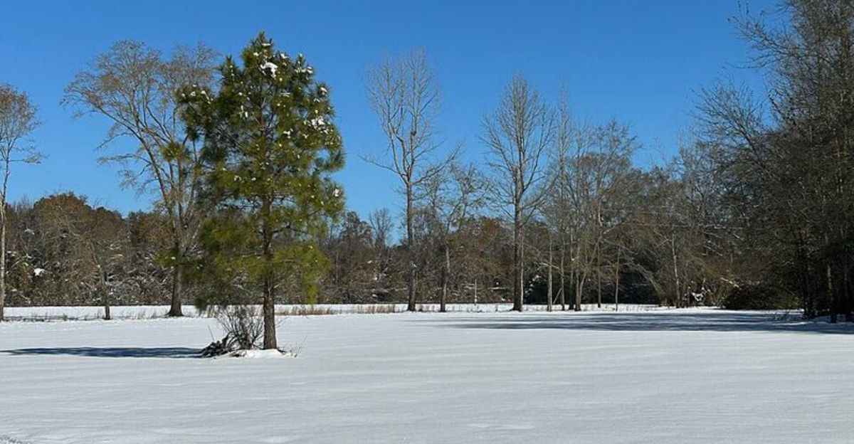
Snow in Florida sounds like a tall tale, but this weekend could deliver a fleeting taste of winter. An Arctic surge racing over the warm Gulf may spark rare Gulf-effect flurries along parts of the Sunshine State before sunrise Sunday.
Conditions are marginal and confidence is low, yet the setup is intriguing enough to watch closely. If you are up early, you might catch a once in a decade weather surprise drifting through the coastal air.
Florida Faces an Unusual Snow Threat This Weekend
Florida thrives on sunshine, but this weekend invites a brief winter twist. Arctic air is set to rush south across the Gulf, traveling over comparatively warm waters that can inject moisture and instability into the lowest layers.
With the right wind fetch and lift, narrow streamer bands may develop before dawn and sprinkle isolated flurries along parts of the Gulf Coast.
The ingredients are not perfect. Upper levels look notably dry, and surface temperatures hover near or above freezing, limiting both flake survival and accumulation.
Even if snow reaches the ground, expect it to be brief, light, and highly localized, more curiosity than crisis.
Still, the pattern deserves attention for its rarity. Think of it as a miniature cousin of Great Lakes lake-effect processes, scaled down by limited moisture and duration.
If you are along the Nature Coast, keep an eye skyward just before sunrise Sunday, where a passing gray cloud could surprise you with a few dancing snow grains.
What Gulf-Effect Snow Really Means
Gulf-effect snow borrows its playbook from lake-effect snow. Cold, dry air moves over a warmer water surface, picks up heat and moisture, then rises and cools inland.
If saturation and lift coincide, clouds deepen just enough to squeeze out tiny, short-lived snow showers or flurries.
For Florida, the weekend setup features chilly air aloft passing over relatively warm Gulf waters, creating narrow convergence bands. Success depends on three things: adequate moisture, sufficient instability, and wind alignment to steer bands ashore.
Any wobble in wind or a layer of dry air can shred clouds before flakes form.
Forecasters stress the low probability, but not zero. The Nature Coast and nearby Gulf-facing counties stand the best chance around daybreak Sunday.
Expect isolated flakes, no meaningful accumulation, and quick transitions back to drizzle or sprinkles if temperatures edge up, making the event more meteorological novelty than headline storm.
A Rare Event in a Climate That Barely Sees Snow
Florida’s climate leans subtropical to tropical, so snow is an outlier. Many residents have never seen flakes at home, and most documented events cluster in the Panhandle where winter cold bites harder.
Central and northern peninsular communities occasionally log trace flurries, but measurable totals are extraordinary.
Historic moments prove how unusual it is. A standout Gulf Coast winter storm in January 2025 dropped measurable snow across parts of the Panhandle, prompting preparations and surprising travelers.
Those episodes typically require a potent cold front intersecting deep moisture, a combination that rarely aligns in the peninsula.
This weekend’s flirtation with Gulf-effect flakes fits the rare category. Even with Arctic air, dry layers and marginal temperatures will likely keep accumulations at zero.
Yet the possibility captures attention, reminding you how unusual patterns can briefly rewrite expectations in the Sunshine State.
How To Watch, What To Expect, And Safety Notes
If you want a chance to spot flakes, aim for pre-dawn Sunday along the Gulf-facing counties, especially the Nature Coast. Look for narrow, fast-moving cloud streamers arriving from the northwest.
A flashlight beam or dark jacket can help you see tiny grains against the sky.
Temperatures near freezing can create slick bridges and overpasses even without snow accumulation. Drive cautiously, leave extra stopping distance, and watch for patches of frost.
Pets and plants may need quick protection from wind-chill, and brief wind gusts can make the air feel sharper than the thermometer suggests.
Manage expectations. Most areas will see nothing more than sprinkles or low clouds, with any flurry burst lasting minutes.
If you capture a fleeting flake on video, note time and location, since crowdsourced reports help meteorologists evaluate band placement and refine future Gulf-effect forecasts.


