Florida is shivering under a rare Arctic grip, from Miami’s beaches to the Panhandle’s pine forests. You can feel it in the biting wind, the frosted lawns, and the morning scramble for sweaters that usually collect dust.
This is not a typical cool snap but a statewide stress test for homes, grids, and routines. Read on to understand what is happening, why it matters, and how to stay safe until warmth returns.
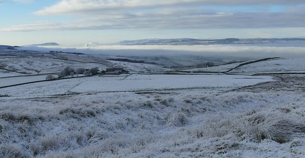
An Arctic blast slammed into Florida, delivering a sustained cold stretch that upended expectations across the peninsula. Orlando, Tampa, and Miami all clocked their coldest readings in roughly 16 years, with neighborhoods waking to seven mornings near or below freezing.
The air felt sharper than locals remember, and the sunrise carried a brittle sparkle across windshields and lawns.
Central and northern zones plunged far below seasonal norms, with Daytona Beach and Jacksonville notching February records on consecutive days. That kind of widespread chill this far south signals a potent southward surge of Arctic air.
Wind chills made early outings feel harsher, especially before dawn when light breezes knifed through thin fabrics.
Residents accustomed to balmy winters confronted a rare reminder that latitude is not a guarantee. Schools opened to bundled students, citrus growers kept a nervous vigil, and runners delayed sunrise miles for safety.
You could hear heaters cycling nonstop as crews monitored demand and neighbors swapped tips about covering plants, protecting pipes, and timing outdoor chores around the frost window.
This winter’s chill ties back to the larger hemispheric pattern steering Arctic air deep into the South. When the polar vortex becomes disrupted or displaced, it can open pathways for frigid air to spill southward.
A strong dome of high pressure to the north then acts like a pump, pushing dense cold air toward the Gulf Coast and across Florida.
Forecasters tracked a pronounced jet stream dip that funneled air typically locked over higher latitudes across the Southeast. The setup sharpened temperature contrasts nationwide, amplifying the gradient that drives wind and advects cold.
Add a robust winter storm upstream and the stage was set for repeated intrusions, not just a one-off breeze.
Even at Florida’s latitude, departures of 10 to 20 degrees below average become possible when these ingredients align. That mismatch between climate expectations and atmospheric reality explains why the chill feels so startling.
You can think of it as traffic lanes in the sky temporarily rerouted, allowing cold to travel farther, faster, and linger long enough to rewrite February’s norms.
The freeze was not just about numbers on a thermometer. As heaters roared to life, electricity demand surged and some neighborhoods saw rolling or unexpected outages.
Utilities reported brief disruptions and peaks during early mornings, then dispatched crews overnight to restore service while asking customers to conserve when possible.
Infrastructure built for heat can struggle during extended cold. Heat pumps cycled harder, older breakers tripped, and poorly insulated spaces leaked warmth faster than homeowners expected.
Guidance traveled quickly: set thermostats modestly, close curtains, seal drafts, and use space heaters carefully on stable surfaces away from fabrics.
Daily rhythms shifted too. Sprinkler systems were paused to prevent icy walkways, and gardeners draped sheets over tropicals as flurries flirted with parts of Tampa Bay.
You might have postponed pre-dawn workouts, limited time outdoors, and checked in on neighbors who rely on electric medical devices. The cold introduced novelty and risk in equal measure, reminding Florida that resilience is a year-round discipline.
Preparation begins with layers, not bravado. Wear moisture-wicking base layers, insulating mid layers, and wind-blocking outerwear, then cover ears, hands, and ankles.
Limit time outside during peak chill, check on older relatives, and bring pets indoors, since even brief exposure can stress animals unaccustomed to freezing air.
Protect your home by insulating exposed pipes and outdoor spigots, opening cabinets to warm indoor plumbing, and maintaining a safe thermostat setting. Run space heaters only on flat, clear surfaces with automatic shutoff, never with extension cords.
Keep blankets, medications, and a flashlight handy in case of outages, and charge phones before the coldest hours arrive.
On the road, top off fuel, monitor tire pressure, and watch for black ice on bridges and shaded ramps. Follow local advisories and refine plans rather than rushing.
You will feel more in control by tracking updates from the National Weather Service, city alerts, and utility notices, then adjusting routines until temperatures rebound midweek.


