A fast-intensifying coastal storm is poised to reshape weekend plans from the Carolinas to New England. Forecast models are signaling a powerful nor’easter that could rapidly deepen over the Atlantic, spinning up heavy snow, fierce winds, and dangerous surf.
If you live along the East Coast, the storm’s exact track will determine whether you face plowable snow, howling gusts, or coastal flooding. Stay ready, because small shifts now can mean big changes in impacts where you are.
A rapidly strengthening nor’easter is on tap this weekend as a coastal low organizes near the Southeast and races offshore. Guidance shows a sharp pressure fall, the hallmark of a bomb cyclone, fueled by warm Atlantic waters and frigid continental air.
That clash primes the storm to expand its wind field, deepen snow bands, and escalate hazards quickly.
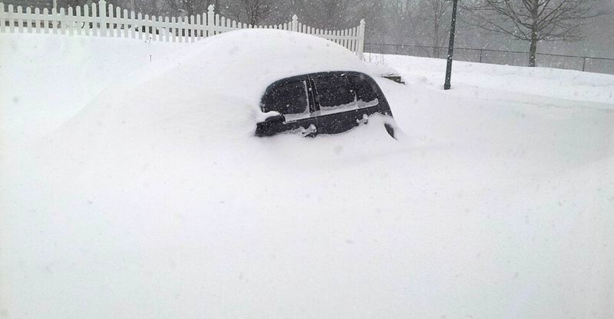
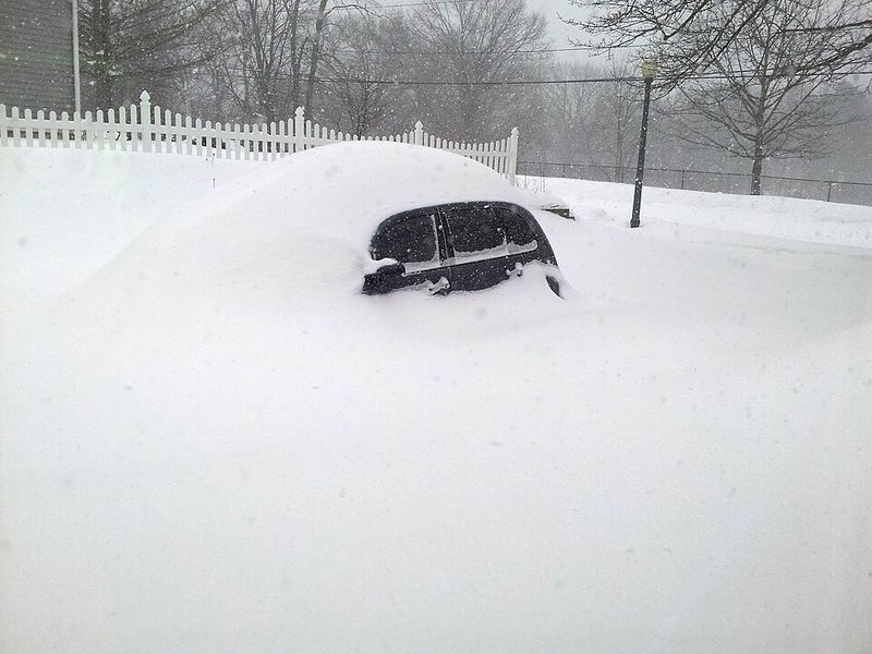
As the circulation tightens, snowfall rates could spike under mesoscale bands, with whiteout bursts possible where the pivot sets up. Expect temperatures to tumble behind the front, allowing slushy roads to refreeze and minor coastal rain to flip to snow farther north.
The strongest winds will align near the storm center and along exposed capes and barrier islands.
Exact track remains the critical wildcard, steering where heavy snow and peak gusts overlap. A jog closer to shore raises blizzard potential and flooding along inlets, while an eastward track favors lighter totals inland.
Your best move now is to monitor local statements, prep for power disruptions, and time errands before conditions deteriorate.
Forecasters are flagging a broad swath of heavy snow potential from the Carolinas into southeastern Virginia, then up toward southern and eastern New England. Strong northeast winds may team with intense snow bands to produce near-blizzard conditions in spots like the Outer Banks and Virginia Beach.
Expect dangerous travel, limited visibility, and scattered outages where gusts topple limbs.
As the low tracks north, coastal Massachusetts and parts of southeastern New England could see rapid accumulations, especially during peak banding. Even if the jackpot hugs the shoreline, inland I-95 communities could still collect plowable totals and slippery commutes.
Localized enhancements are likely along coastal fronts and upslope zones.
Small jogs in track will dramatically shift the snow gradient, so stay nimble with plans. If you are on the western edge, totals may underperform but roads can still glaze quickly.
Closer to the coast, snow may start wet before turning drier and fluffier as colder air deepens, boosting ratios and drift potential.
This storm is not just snow. Strengthening northeast winds could top 50 to 60 mph along capes and barrier islands, driving battering waves and stacking water into vulnerable inlets during high tide.
That overlap raises coastal flood risk, with overwash on exposed roads and minor structural damage where surf meets dunes.
Farther inland, gusts will whip snow into ground blizzards, quickly erasing visibility and complicating plowing. Expect treacherous travel on major corridors and icy bridges.
Airports from Philadelphia to New York and Boston may post delays or cancellations as crosswinds and runway conditions deteriorate.
Safety steps now can save headaches later. Top off car fuel, charge devices, and secure lightweight items outdoors that can become windborne.
Keep tabs on tide cycles, avoid seawalls during peak surge, and consider flexible travel plans until advisories settle.
This weekend’s nor’easter follows a historic continental storm, and the background pattern still favors coastal development. Entrenched Arctic air and a jet stream dip are creating a corridor where ocean moisture meets cold continental flow.
That setup invites rapid cyclogenesis near the Gulf Stream, where heat contrasts supercharge lift.
Nor’easters and bomb cyclones are not rare in midwinter, but back-to-back systems highlight an active, dynamic regime. When the jet stacks energy over coastal waters, storms can intensify quickly and expand their wind shield.
Timing matters too, because cold air in place is the difference between slush and crippling snow.
Understanding these signals helps you plan beyond this weekend. If the trough persists, additional windows for coastal storms may open in the weeks ahead.
Keep watching ensemble trends, temperature profiles, and marine influences to anticipate where the next high-impact corridor might set up.


