A fast intensifying nor’easter is lining up the East Coast, and officials are not waiting to see how bad it gets. Emergency declarations from the Carolinas to New England signal a serious, coordinated push to protect people and infrastructure.
If you live anywhere near the track, now is the time to pay attention, prepare, and adjust plans. Here is what leaders are doing, why it matters, and what you should do next.
As a strengthening coastal low turns into a classic nor’easter, governors along the East Coast are issuing emergency declarations to move quickly. You are seeing North Carolina, New Jersey, and several Mid-Atlantic states pre-position plows, stage high-water vehicles, and coordinate with utility crews.
These orders free up funding, speed contracts, and allow personnel to mobilize before roads are blocked or tides surge.
North Carolina’s activation opens supply warehouses, supports county responders, and gets road brine down while temperatures drop. New Jersey’s order focuses on coastal flooding and power restoration, with transportation agencies preparing detours and potential closures.
Across the corridor, emergency management centers are shifting to 24-7 operations, amplifying alerts, and pushing targeted warnings for snow, wind, and surge.
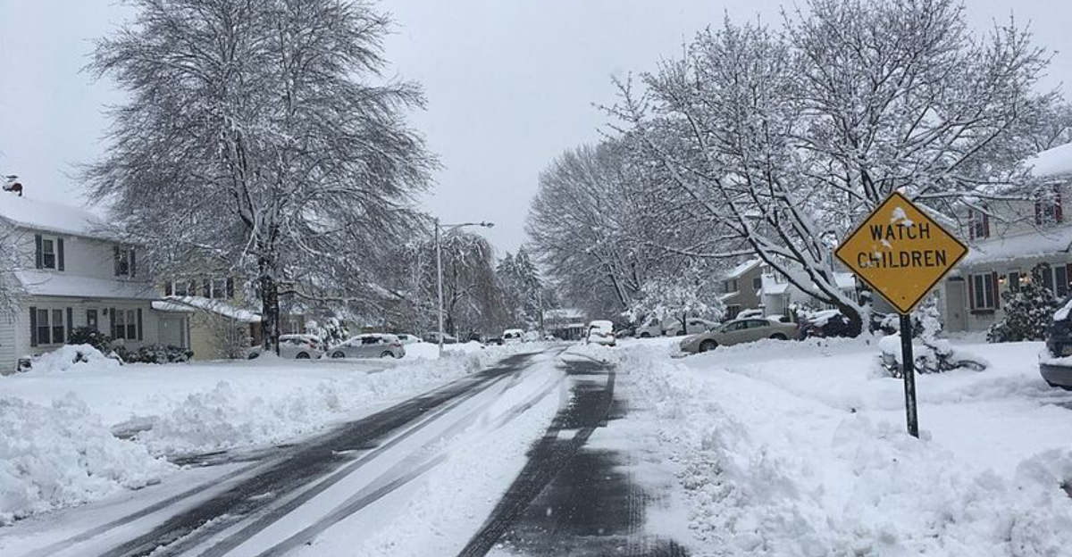
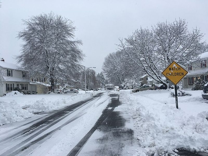
For residents, the message is practical and urgent. Stock essentials, charge devices, secure outdoor items, and plan for hours without power if wind damage escalates.
Travel disruptions are likely as gusts strengthen, precipitation intensifies, and tides peak, especially at overnight high tide cycles.
These declarations are not about panic. They are about time, logistics, and clear authority, so lifesaving assets move before the worst arrives.
Acting early reduces injuries, shortens outages, and keeps recovery on a faster track.
States are not declaring emergencies only for snow. This nor’easter brings a multi-hazard punch: heavy precipitation, damaging wind, dangerous surf, and notable coastal flooding as the low intensifies over warm Atlantic waters.
The clash of cold continental air with marine moisture fuels rapid deepening, expanding the wind field and pushing water toward vulnerable shorelines.
Hazards vary by latitude. In the Carolinas, forecasters flag beach erosion, inlet flooding, and pounding surf even where temperatures stay above freezing.
Farther north, the Mid-Atlantic and New England face wind-driven outages, treacherous travel, and accumulating snow inland where cold air holds, while rain and mixed precipitation hug the coast.
Emergency declarations streamline procurement, mutual aid, and public messaging. They let states deploy the National Guard, suspend certain regulations for trucks, and surge utility crews across regions.
When hazards stretch from Virginia to Maine, coordination matters more than any single forecast line.
For you, this means earlier alerts, clearer guidance, and faster help if roads fail or grids blink. The goal is simple: buy time before impacts peak, warn those in flood-prone zones, and keep critical lifelines stable.
Preparedness now reduces chaos later.
Emergency orders unlock concrete steps that protect communities before first flakes or highest tides. In North Carolina, transportation crews are pretreating highways, counties are opening warming centers, and search-and-rescue teams are on standby as wind and slick roads challenge responders.
Local agencies are checking generators at shelters and hospitals, while school districts ready remote plans.
New Jersey is leaning into coastal defense. Crews are stacking sandbags near vulnerable bays, monitoring tide gauges, and preparing barricades for nuisance-to-moderate flood zones.
Harbors are advising boat owners to double-lines and remove loose gear. With gale-force gusts likely, utilities are pre-staging trucks, poles, and transformers to cut restoration times.
From Delaware to New England, you will notice flood watches, winter storm warnings, and coastal advisories lighting up maps. Airports and rails are coordinating contingency schedules, and tow bans may activate if visibility tanks.
Public works teams are clearing storm drains and inspecting pump stations ahead of peak rainfall and meltwater.
These moves look routine because practice makes them faster. The aim is to stabilize lifelines, maintain safe corridors for ambulances and fire units, and keep you informed with timely, location-specific guidance as conditions evolve hour by hour.
If your area is under an emergency or winter alert, focus on readiness and awareness. Build a 72-hour kit with water, shelf-stable food, medications, flashlights, batteries, chargers, and warm layers.
Keep your phone charged, enable emergency alerts, and check reliable forecasts from NWS and local officials.
Travel plans should be flexible. Snow plus wind can glaze roads and wreck visibility, while heavy rain can pond quickly and hide hazards.
Airlines and rail carriers may issue waivers, so rebook early if your route sits in the storm track. If you must drive, slow down, increase following distance, and carry a shovel and traction aids.
Along the coast, time preparations to the tide cycle. Move cars to higher ground, secure outdoor furniture, and know evacuation routes in case surge worsens.
Never drive through flooded streets. Saltwater can disable vehicles and put you in real danger.
Stay in touch with neighbors, especially seniors or anyone who relies on powered medical devices. Document property with photos before the storm and store key documents in waterproof bags.
Your calm, early actions reduce risk, protect your home, and help first responders focus on critical emergencies.


