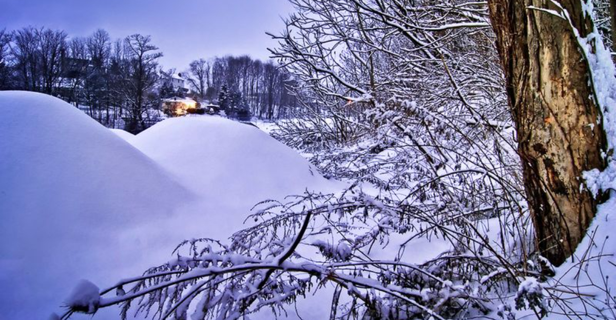
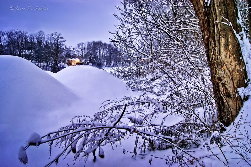
A sprawling winter storm is gearing up to blanket more than half the country with snow, ice, and dangerous cold. Forecast models show a coast-to-coast setup that could disrupt daily life for millions, from Friday through the weekend.
If you live anywhere from Texas to New England, this is the system to watch closely. Stay ahead of it now so you are not scrambling once the first flakes and freezing rain arrive.
Meteorologists say a sprawling January 23 to 26 system is primed to sweep from the Southwest through Texas and the South, then lift into the Mid-Atlantic and Northeast. You will likely see changing precipitation types where cold air undercuts deep Gulf moisture, creating a broad snow and ice shield.
With more than 35 states in play, this could be the season’s defining event.
Forecasts highlight a 2,000 plus mile footprint that places over 175 million people within the storm’s influence, according to Fox Weather tracking. Your local outcome depends on the exact northern track, which governs whether you get heavy snow, mixed sleet, or glaze ice.
Modest wiggles in the low’s path can shift snow bands by dozens of miles.
Expect live trackers, winter alerts, and probabilistic snow maps to update frequently as new model runs arrive. If you are along the I-95 corridor, plan for significant travel delays and closures where cold air and moisture overlap.
Officials urge early prep for power, heat, and safe travel alternatives through the weekend.
Early impacts target the Southern Plains and Southeast where snow and ice are less common but highly disruptive. In parts of Texas, Arkansas, and Louisiana, forecasters warn of 1 to 1.5 inches of ice from freezing rain transitions.
That much glaze can topple limbs, snap lines, and make bridges treacherous quickly.
Farther east into the Carolinas and Tennessee Valley, your outcome hinges on surface temperatures and warm noses aloft. A few degrees can mean heavy wet snow or a hazardous ice crust.
Limited salt trucks and plows amplify impacts, turning routine commutes into risky endeavors.
Expect slick interstates and rural roads, with visibility dropping as snow rates intensify. Utilities are mobilizing mutual aid crews now to shorten restoration times, but you should prepare for outages that could linger.
Stock batteries, charge devices, insulate outdoor faucets, and avoid unnecessary travel when icing begins.
As the storm lifts northeast, the Midwest, Great Lakes, and Northeast line up for some of the season’s heftiest totals. Forecasts show corridors from the southern Plains into the Appalachians and I-95 reaching six inches to a foot or more in zones of best overlap.
Washington, New York City, and Boston could push 8 to 16 inches.
Snow like this tangles school schedules, shutters highways, and halts air travel at major hubs. Your best defense is timing your trips before peak bands arrive, then staying off roads as plows work.
Expect flight cancellations and rolling delays as crews deice aircraft and clear runways.
Behind the low, Arctic air surges south, driving wind chills to dangerous levels even after skies clear. That cold prolongs impacts by freezing slush and stressing infrastructure, including vulnerable pipes.
Layer up, cover exposed skin, and plan for a multi day recovery period before travel normalizes.
Multiple states have issued emergency declarations to surge resources ahead of widespread snow and ice. You may see utility staging areas in fairgrounds and parking lots as crews pre-position.
Heavy glaze and wet snow can down trees, so plan for outages lasting longer where access is limited.
Airlines are already adjusting schedules, anticipating ground stops and deicing bottlenecks from the Mid-Atlantic to New England. If you must fly, rebook proactively and keep chargers, meds, and essentials in your carry-on.
For drivers, agencies urge delaying non-essential travel and packing emergency kits with blankets, water, snacks, and a shovel.
Local governments will open warming centers if cold and outages overlap. Monitor alerts for shelter locations, road closures, and boil water notices after pipe breaks.
Even once the storm exits, cleanup, power restoration, and crew rotations can take days, so set expectations and check on neighbors.


