If you have holiday travel plans, now is the time to lock in a weather game plan. Multiple atmospheric rivers are lining up to target California with heavy rain, mountain snow, and gusty winds through late December. You will want clear, simple steps to stay safe, avoid flooded roads, and time your travel windows wisely. Here is what to expect, what to watch, and how to prepare with confidence.
California is turning the page from stagnant fog and chill to a more active storm track as the holiday week approaches. Forecast signals from CPC and ensemble guidance show moisture plumes pushing south from the Pacific Northwest, reaching central California around Dec. 20 and possibly Southern California by Dec. 22. If you plan to drive or fly, prepare for delays, slick roads, and intermittent low visibility.
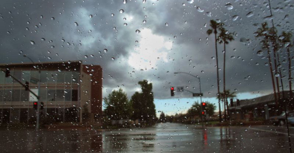
Atmospheric rivers are concentrated corridors of water vapor that can unload heavy rain, strong winds, and mountain snow. After weeks of dense tule fog in the Central Valley, a wetter pattern could quickly overwhelm saturated soils and drainages. You should keep an eye on small streams, underpasses, and urban low spots that tend to pond first.
Analysts tracking ensembles highlight a busy window from Dec. 19 to 22, with elevated winds and bursts of heavy rain. Snow will favor higher elevations, but snow levels may fluctuate with each wave, changing travel impacts over the passes. If you must travel, build buffer time, carry chains when crossing the Sierra, and check NWS updates frequently.
While long-range forecasts carry uncertainty, multiple model clusters tilt toward above-normal precipitation during the core Christmas travel period. That means a higher-than-usual chance of urban and river flooding, downed limbs, and brief power interruptions. Charge devices, secure outdoor decor, and place a flashlight and batteries where you can grab them fast.
Use official sources like CPC outlooks and local NWS offices for timing and hazard details as each wave approaches. You will feel more in control if you bookmark radar, road cameras, and outage maps now. Stay flexible, pick safer travel windows, and let the weather guide your plan rather than the calendar.
Before California takes center stage, the Pacific Northwest has been hammered by a chain of moisture-laden storms. Rivers swelled, flood warnings blossomed, and communities faced evacuations as emergency managers responded to rapidly changing hazards. If you have friends or family there, you likely saw images of road closures and waterlogged neighborhoods.
These atmospheric rivers rode a vigorous jet stream, funneling warm Pacific moisture into Washington and Oregon for days. With soils saturated and rivers high, additional pulses kept risks elevated, even between lulls. You could feel how persistent these systems were by the steady cadence of advisories and rescues.
Reporters and meteorologists described the events as unusually tenacious, drawing on decades of records and modern observation networks. Infrastructure felt the strain, with power disruptions, debris-choked culverts, and overwhelmed drainage. When that pattern edges south, California inherits both the moisture and the momentum.
CPC outlooks flag continued activity into late December, matching what you see on satellite loops and ensemble plumes. That means preparedness upstream matters downstream, because swollen basins and storm tracks do not stop at state lines. Even as focus pivots to California, Northwest emergency managers warn that lingering saturation compounds new rainfall.
If you are traveling between Seattle, Portland, and Northern California, expect variable conditions and check river gauges and highway alerts often. Choose routes with alternate options, and avoid driving through standing water at night. The Northwest’s experience is a timely reminder to treat each flood advisory seriously and plan with redundancy.
California’s setup looks complicated, and that means smart preparation pays off. Early waves may arrive with higher snow levels, favoring rain in foothills and valleys while limiting snow accumulation. You could see rapid runoff where basins are steep, burns are recent, or soils remain saturated from earlier storms.
As moisture deepens, wind fields tighten and rainfall rates pulse, especially across central and northern California from Dec. 19 to 22. Some passes may toggle between wet pavement, slush, and heavy snow as colder pockets thread in. Keep chains, warm layers, water, and a full tank if you are crossing the Sierra or Shasta corridors.
Urban areas should watch for clogged storm drains and quick ponding during heavier bursts. Coastal zones can expect rough surf, beach erosion, and isolated power flickers from wind-blown limbs. If you live near creeks, move valuables off floors, test sump pumps, and park on higher ground before the rain peaks.
Timing confidence will sharpen 48 to 72 hours before each wave, so lean on NWS office briefings and high-resolution radar. You will travel more smoothly by aiming for breaks between fronts and avoiding overnight mountain crossings. Bookmark Caltrans cameras, CHP updates, and airline alerts to pivot without stress.
If flooding is a concern, review evacuation routes now and coordinate with neighbors who may need assistance. Secure outdoor furniture and holiday decorations with straps, and bring trash bins inside. Preparedness does not have to be complicated: charge batteries, pack a go-bag, and let alerts guide your next move.
The holiday storm threat sits inside a larger seasonal picture, where ocean temperatures and global circulation steer moisture toward the West Coast. La Niña often energizes the Pacific jet and tilts odds toward bouts of heavy precipitation in parts of the West. You feel it locally as clustered storms, brief breaks, and shifting snow levels.
Forecasters lean on ensemble systems like GEFS and GFS plus targeted tools from CW3E to track moisture transport days in advance. When multiple models agree, confidence rises that a corridor of water vapor will aim at California. That agreement does not cancel uncertainty, but it sharpens the timing windows that matter for your plans.
Seasonal outlooks highlight above-normal precipitation chances into January, while temperatures wobble with each passing wave. That pattern can boost Sierra snowpack during colder spells and enhance flood risk when snow levels run high. Managing both realities means staying nimble and treating each storm as a fresh setup.
Attribution to long-term climate change requires careful analysis, yet the frequency of moisture-rich storms keeps drawing attention. For you, the takeaway is practical: watch hazards, not headlines, and rely on official alerts as conditions evolve. Think layered preparedness, from yard drainage to route backups and medication refills.
As Christmas week approaches, another suite of atmospheric rivers is on the table, with rain, snow, and wind likely at times. Welcomed water can arrive alongside hazards that escalate quickly when soils are saturated. Keep your plan simple, your updates frequent, and your decisions driven by the latest trusted guidance.


