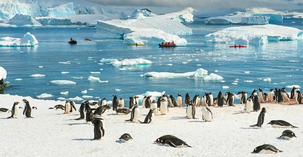
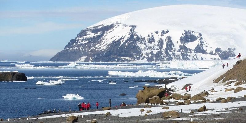
Antarctica hides an entire world beneath its frozen surface that most people will never see. Scientists have used cutting-edge technology to peer through kilometers of ice and uncover landscapes, lakes, and clues about our planet’s past.
What they found challenges everything we thought we knew about the coldest place on Earth.
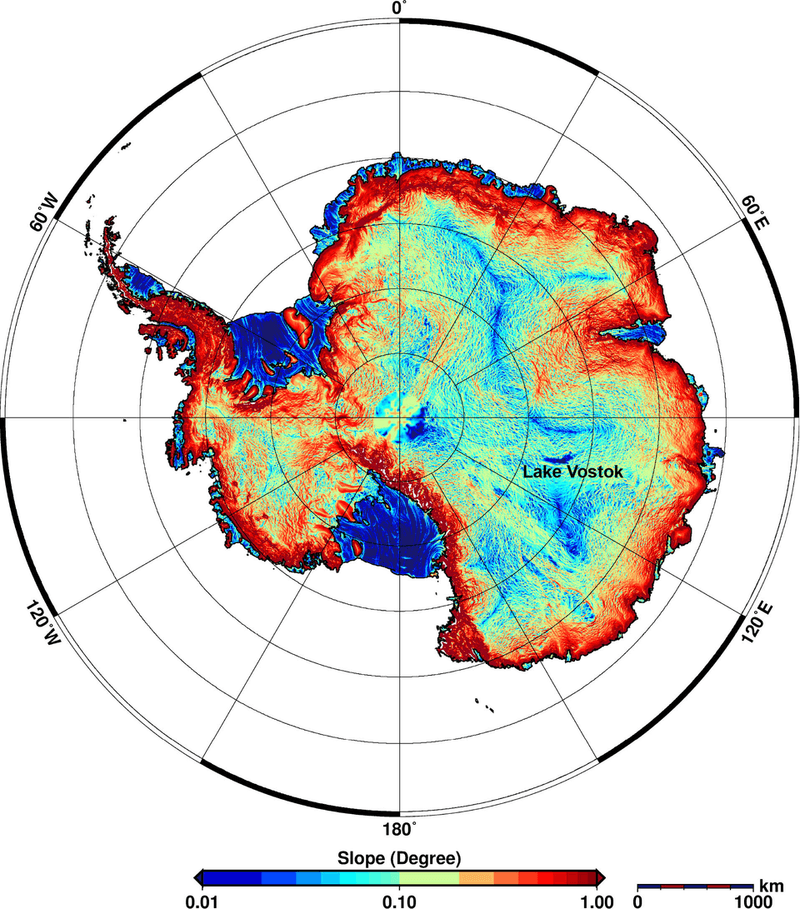
1. A Hidden Rocky Landscape
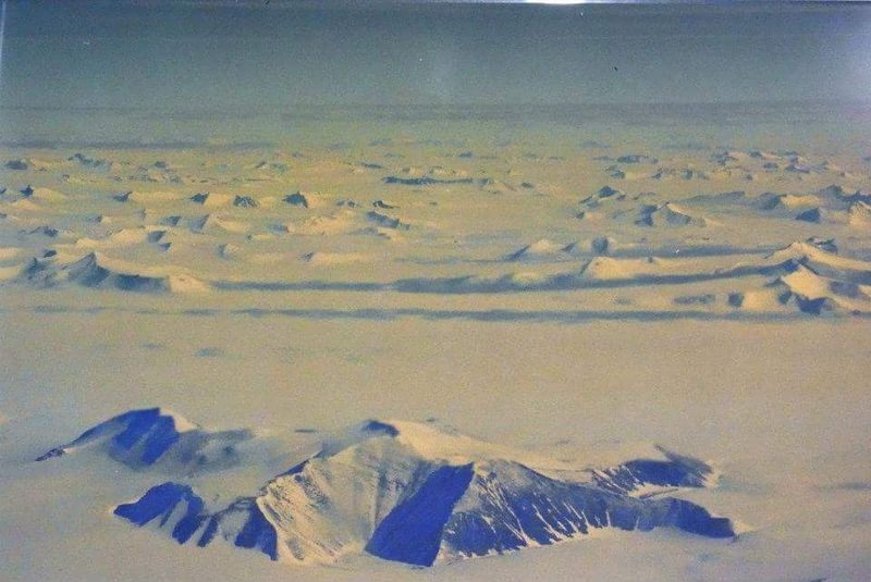
Mountains, hills, and ridges lie completely invisible beneath Antarctica’s thick ice blanket. Scientists have only recently mapped these features with precision, revealing terrain we knew less about than some planetary surfaces.
Before advanced technology arrived, this hidden world remained a total mystery. The rocky structures shape how ice moves above them, influencing everything from glacier speed to ocean currents.
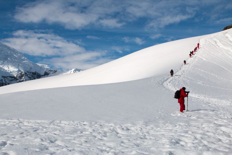
Imagine exploring a landscape never touched by human eyes, frozen in time for millions of years.
2. Deep Valleys and Canyons
Massive valleys stretch for hundreds of kilometers under the ice, carved deep into Antarctic bedrock. These enormous canyons remained invisible until radar technology could penetrate the frozen layers above them.
Some valleys plunge deeper than the Grand Canyon, creating dramatic landscapes nobody will ever hike through. They channel ice and meltwater in ways that affect the entire continent’s stability.
Scientists compare exploring these hidden features to discovering a new mountain range on Earth for the first time.
3. Ancient River Carved Channels
Winding channels beneath the ice look remarkably like riverbeds, suggesting flowing water once shaped Antarctica’s surface. This discovery points to a time when the frozen continent enjoyed a completely different climate.
Before ice took over, rivers may have carved through lush valleys under warmer skies. These ancient waterways tell stories of forests, wildlife, and rainfall where now only ice exists.
Understanding this past environment helps scientists predict how quickly ice might melt as temperatures rise today.
4. Terrain Buried Under Two Plus Kilometres of Ice
The ice covering Antarctica’s hidden world reaches staggering depths, often exceeding two to four kilometers thick. That’s enough frozen water to bury most mountain peaks completely out of sight.
This massive weight presses down on the bedrock below, shaping how the continent responds to warming temperatures. The sheer scale makes studying what lies beneath incredibly challenging, requiring specialized equipment and years of data collection.
Every discovery under such extreme conditions represents a triumph of human curiosity and technological innovation.
5. Subglacial Lakes Galore
Dozens of active lakes exist beneath Antarctica’s ice, periodically filling and draining in cycles that surprise researchers. These hidden water bodies affect how glaciers slide and shift across the bedrock.
Some lakes connect through underground channels, creating networks that transport water across vast distances. When a lake drains suddenly, it can speed up ice movement hundreds of kilometers away.
Scientists monitor these lakes closely because their behavior influences sea level predictions and climate models worldwide.
6. Warm Zones in the Ice
Unexpected warm spots exist at the base of Antarctica’s ice sheet, where heat from Earth’s interior creates pockets of melting. These zones weren’t predicted by early models and change how scientists understand ice behavior.
Geothermal heat rises from deep within the planet, creating temperature differences that affect water flow and ice stability. Some areas melt faster than others because of this hidden warmth beneath them.
Discovering these warm zones has forced researchers to revise their predictions about future ice loss.
7. Ancient Lost World
Antarctica’s frozen exterior hides landscapes that once supported rivers, forests, and possibly diverse ecosystems millions of years ago. This lost world froze over as the continent drifted south and temperatures plummeted.
Fossils and geological evidence suggest lush vegetation once covered areas now buried under ice. Imagining Antarctica as a green, living continent seems impossible today, yet the proof lies preserved beneath the surface.
This ancient world offers clues about how dramatically Earth’s climate can shift over geological time.
8. A Record of Earth’s Climate History
Buried sediments and geological features act like a time capsule, preserving evidence from when Antarctica enjoyed warm climates. Scientists study these ancient records to understand how Earth’s climate has changed over millions of years.
Ice cores and bedrock samples reveal atmospheric conditions, temperature shifts, and even volcanic eruptions from distant epochs. Each layer tells part of a story about our planet’s dynamic climate system.
This historical record becomes crucial as we face rapid climate changes today and plan for tomorrow.
9. Complex Bedrock Shapes Ice Flow
Ridges, troughs, and irregular bedrock surfaces directly control how glaciers move across Antarctica. Understanding this hidden topography helps scientists predict which ice sheets might collapse or accelerate in coming decades.
Ice flows faster over smooth bedrock but slows when encountering ridges and bumps. These geological features act like speed bumps or highways for massive glaciers, determining their stability.
Accurate maps of this buried landscape improve forecasts about sea level rise threatening coastal cities worldwide.
10. Previously Unknown Subglacial Water Systems
Networks of aquifers and channels transport meltwater beneath Antarctica’s ice sheet, lubricating glacier movement like oil in an engine. Scientists only recently discovered how extensive and complex these water systems actually are.
Water flowing beneath ice affects everything from glacier speed to ocean circulation patterns. Some channels move water hundreds of kilometers before releasing it into the sea.
Mapping these hidden waterways reveals how Antarctic ice might respond more quickly to warming than previously thought possible.
11. Satellite and Radar Technologies Transform Our View
Breakthroughs in ice-penetrating radar and satellite imaging have revolutionized our understanding of Antarctica’s hidden landscape. Technology can now map features through kilometers of ice with remarkable detail across the entire continent.
Before these tools existed, scientists could only guess what lay beneath the frozen surface. Modern instruments send signals through ice that bounce back, creating detailed three-dimensional maps of buried terrain.
This technological leap forward has opened an entirely new frontier for polar exploration and climate science.
12. Unknown Geological Boundaries
Sharp transitions between high and low terrain beneath the ice reveal clues about tectonic structures and Earth’s geological evolution. These boundaries mark where different rock types meet or ancient tectonic plates once collided.
Identifying these features helps scientists understand how continents formed and shifted over hundreds of millions of years. Antarctica’s hidden geology connects to other continents that once formed the supercontinent Gondwana.
Each discovery adds pieces to the puzzle of how our planet’s surface has transformed throughout deep time.
13. Clues to Future Ice Sheet Behavior
Understanding Antarctica’s hidden world directly improves predictions about how ice sheets will respond to climate change. Scientists use detailed maps of buried terrain to build computer models forecasting future sea level rise.
Every ridge, valley, and warm zone affects whether ice will melt slowly or collapse rapidly in coming centuries. These predictions matter enormously for billions of people living near coastlines worldwide.
What lies beneath the ice today determines how quickly oceans will rise and reshape our world tomorrow.


