A powerful magnitude 7.0 earthquake jolted the Alaska Yukon border region on Saturday, shaking a vast stretch of remote wilderness. You might have felt it if you were anywhere near southern Alaska or southwestern Yukon, even hundreds of miles from the epicenter. Early reports point to minimal damage and no tsunami alerts, but aftershocks are already rumbling. Here is what matters now, and what to watch as monitoring continues.
The Earthquake — What Happened
A magnitude 7.0 earthquake struck a remote inland area near the Alaska Yukon border on Saturday, December 6, 2025. According to USGS data, the focus was shallow at roughly 10 kilometers, which tends to amplify shaking at the surface. Multiple aftershocks followed within hours as instruments and residents reported ongoing tremors across a wide radius.
Because the epicenter was inland, no tsunami alert was issued, and coastal risk stayed low. Reports indicate the quake was felt across southern Alaska and southwestern Yukon, consistent with a strong but localized crustal event. You could picture the shaking radiating out like ripples through mountain valleys and frozen rivers.
Early monitoring suggests the rupture likely occurred along a regional fault system that is no stranger to large quakes. Seismologists are parsing waveform data to refine the location and mechanism as aftershock patterns evolve. For now, the headline is clear: strong shaking, broad felt reports, and limited immediate impacts thanks to the remoteness of the terrain.
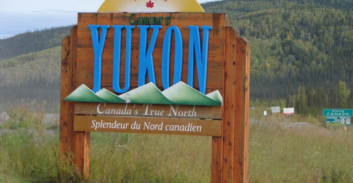
Where It Was Felt — Communities React
Even far from the epicenter, people in Whitehorse said the shaking rolled through like a brief heavy truck passing underfoot. Police there confirmed a flurry of calls as residents checked on neighbors and asked about damage. Smaller communities such as Haines Junction and Yakutat also reported rattling walls and items falling from shelves.
Despite the jolt, there were no immediate reports of injuries or major structural damage. You might see a few cracked dishes, a shifted picture frame, or a startled dog, but not collapsed buildings. Officials emphasized that distance and low population density limited impacts, keeping emergency responses manageable.
Utility checks were precautionary, and transportation agencies scanned roads and bridges for signs of stress. Schools and businesses did quick safety walkthroughs before resuming normal routines. In places this remote, community word of mouth travels fast, and by evening most people had the same takeaway: noticeable shaking, minimal harm.
Why the Location Matters — Geography and Risk Context
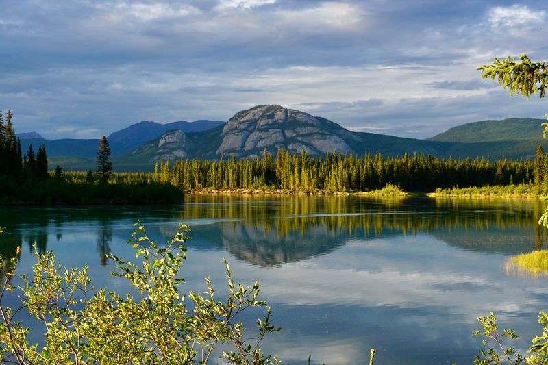
The border region between Alaska and Yukon is dominated by rugged mountains, glaciers, and long stretches of roadless backcountry. That geography limits exposure, so even a strong quake may not find many vulnerable structures to damage. You can think of it as a powerful event landing mostly on rock, ice, and forest rather than dense neighborhoods.
Alaska hosts frequent large earthquakes linked to subduction and crustal faulting, with many ruptures occurring offshore or in sparsely populated interior zones. Seismologists note that shallow depth increases shaking, but impact ultimately depends on what is in harm’s way. Here, the calculus favored limited loss simply because few people and facilities sat close to the rupture.
Still, broad felt reports are expected when energy radiates efficiently through cold, competent crust. The quake’s shallow focus helped carry shaking to distant towns while sparing them from severe damage. It is a reminder that geography shapes risk as much as magnitude does.
Aftershocks and Ongoing Monitoring — What to Watch For
After a magnitude 7.0 main shock, aftershocks are normal and can continue for days or weeks. Several smaller quakes have already been recorded as the crust adjusts along the fault. You may not feel most of them, but a few can be sharp and startling, especially at night.
Authorities are watching for landslides, rockfall, and subtle damage on bridges, pipelines, and remote roads. Even moderate aftershocks can nudge weakened slopes or shake loose snow cornices in steep terrain. In winter conditions, inspections take longer, and access by air or over icy highways can be limited.
Seismic networks will refine the main shock mechanism and map the aftershock zone, improving hazard forecasts. Residents are encouraged to secure loose items, review emergency kits, and be ready for short disruptions. The outlook so far is reassuring, but vigilance remains the smart play until the swarm quiets down.
Broader Implications — Understanding Seismic Risk in Remote Regions
This event shows why magnitude alone does not predict disaster. Impact depends on proximity to people and infrastructure, building quality, and terrain. A big quake in a sparse zone can leave little damage while still serving as a wake up call.
For small communities and planners, the lesson is clear: remote does not mean risk free. Pipelines, power corridors, highways, and communication links cross seismic country and need resilient design. You can reduce disruption with smart siting, redundancy, and regular drills.
On the public side, simple steps like securing heavy furniture, knowing safe drop cover hold spots, and keeping a go bag pay dividends. Agencies benefit from dense monitoring networks and clear cross border coordination. When the ground moves again, preparation turns a scare into a brief story rather than a crisis.


