A sprawling winter storm just swept across more than 30 states, turning routine commutes and holiday trips into a high stakes challenge. You are seeing it all at once high winds, blinding snow, torrential rain, and airport chaos stretching from the Pacific Northwest to the Northeast. If travel is on your schedule, the details ahead could save hours and spare headaches. Let us break down what happened, what is still unfolding, and how to navigate the next wave safely.
Coast-to-Coast Storm Brings Extreme Winds, Snow, Rain and Travel Headaches
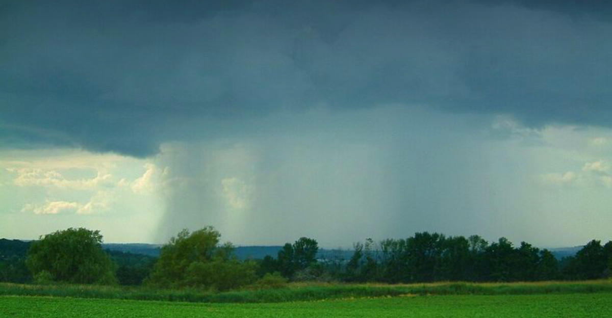
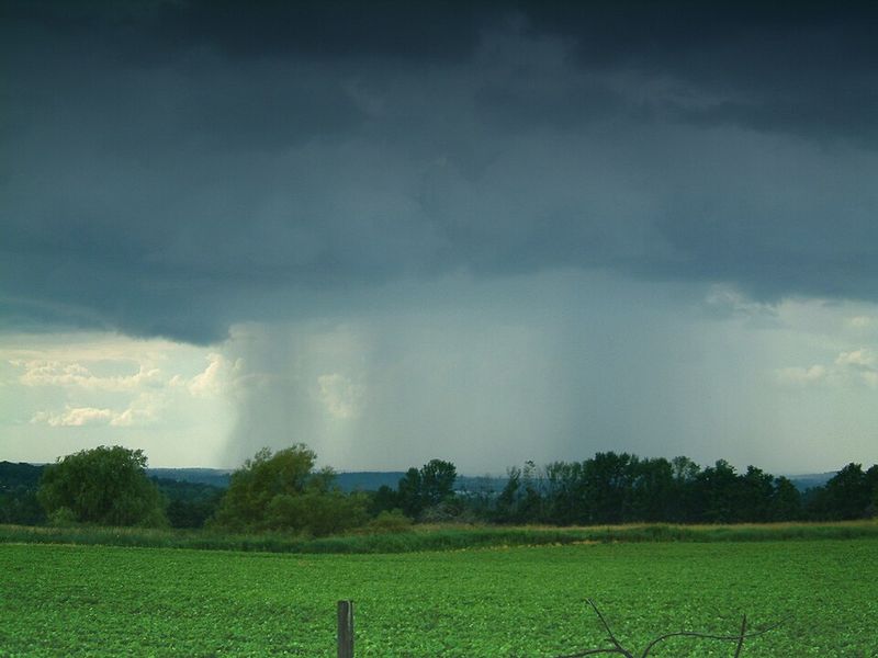
A powerhouse coast-to-coast storm flexed across the country, stirring high winds, heavy snow, drenching rain, and widespread travel disruptions just as holiday traffic surged. You could feel the size of this system from the Pacific Northwest to the Northeast, a sweeping corridor of turbulent weather that tested plans and patience. FOX Weather reports underscored the storm’s reach and evolving hazards.
In the West and central U.S., damaging gusts topped 100 mph in exposed areas of the Intermountain West and Northern Plains, with December wind records near Glasgow, Montana. Those winds knocked out power for hundreds of thousands and made mountain passes and open highways treacherous. Flights wobbled on approach while trucks crawled along wind-swept corridors.
Blizzard conditions took hold in parts of the upper Plains and Midwest, where whiteouts slashed visibility and stranded drivers. Meanwhile, the East soaked under heavy rain and gusty winds, piling on airport delays and slowing traffic on I-95 and major connectors. With one of the busiest travel periods colliding with volatile winter weather, staying nimble and checking updates became the smartest move.
This storm’s breadth highlights how quickly conditions can swing. Keep alerts on, build buffer time, and pivot when forecasts change.
Wind Damage, Power Outages and Hazards From the Western Storm
The western flank of the storm turned fierce, blasting the Pacific Northwest, Northern Rockies, and Intermountain West with destructive winds. FOX Weather reported widespread outages as gusts well over 50 mph tore through valleys and ridge tops. You could hear it in the rafters and see it in the debris scraping along streets.
Peak gusts exceeded 100 mph in parts of Wyoming, Montana, and northern Idaho, with a staggering 144 mph near Mount Coffin, Wyoming, punctuating the storm’s punch. Trees toppled, shingles flew, and power poles leaned, complicating both ground and air travel. Flights diverted while high profile vehicles battled crosswinds on exposed highways.
Tragically, Idaho responders detailed injuries when falling trees struck a bus stop, and a home was crushed in another wind fall incident. Officials pleaded with residents to avoid large trees and unsecured structures during peak gusts. Behind the front, dry air mixed with strong winds, triggering fire weather near Colorado and the High Plains.
Evacuations followed growing wildfires, a rare winter pairing of wind, fire risk, flooding, and snow. Preparedness mattered hour by hour. Keep generators ready, secure loose items, and monitor local alerts.
Snowfall and Blizzard Conditions in Northern Plains and Midwest
After the wind, the storm pivoted into snow, and parts of the northern Plains and Midwest slipped into blizzard mode. FOX Weather flagged whiteout bands, sharp gusts, and quick drops in visibility that turned routine drives into risky gambles. If your route crossed open country, conditions changed block by block.
North Dakota, Minnesota, and Iowa posted Blizzard Warnings as sustained gusts whipped powder across lanes and sealed rural roads. The cold front trailing the system stacked moisture, wind, and falling temperatures into dangerous travel math. Even a few inches drifted into axle-deep traps where plows struggled to keep pace.
Interstates and county highways saw spinouts, jackknifes, and closures, particularly near exposed bridges. You needed a full tank, a charged phone, and emergency gear, or better yet, a flexible plan to delay departure. Meanwhile, southern tiers stayed rain-dominant, proving how sharply precipitation types can divide.
Transportation officials urged patience and strict adherence to advisories until winds relaxed and crews widened lanes. Check cameras and forecasts before rolling. If you must travel, reduce speed, increase distance, and keep that kit reachable.
East Coast Impact: Rain, Wind and Holiday Travel Delays
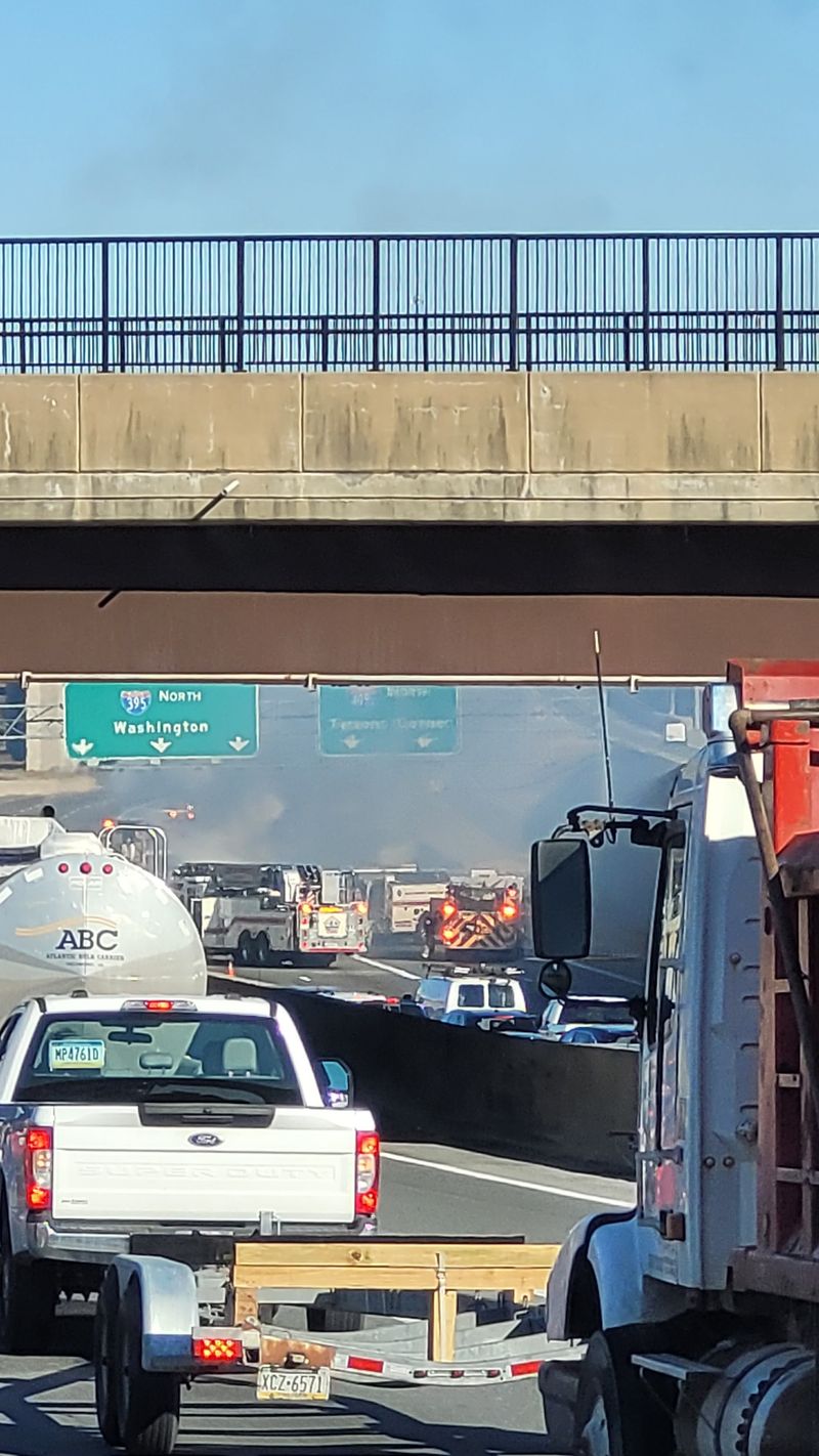
As the storm reached the Eastern Seaboard, heavy rain and strong winds stacked delays across one of the busiest travel corridors in the nation. Millions encountered choppy flights, saturated roadways, and packed terminals as the system’s final punch moved through. You probably felt it most at the gate board and brake pedal.
By Friday, High Wind Alerts stretched from Maine to Florida, with gusts snarling operations at Boston Logan and LaGuardia. FOX Weather tallied more than 3,400 delays and over 400 cancellations by midday, the kind of gridlock that ripples for hours. Crews juggled reroutes while storm bands pulsed along I-95.
Behind the front, temperatures tumbled, ushering in a chill typical of strong winter cyclones exiting the coast. On the ground, rain-slick bridges and open stretches funneled wind, amplifying hydroplaning risk. Planning extra time and slowing down became the difference between tense and safe.
Forecasters urged travelers to remain flexible, watch advisories, and shift departures when windows open. Pack patience, chargers, and a weather eye. The season is just warming up, so keep alerts on and backup plans ready.


