A powerful moisture plume is barreling toward the Pacific Northwest, and you can almost feel the air thickening ahead of it. Forecasters say this atmospheric river could rank near the top of the scale, with rain and mountain snow poised to arrive in rapid bursts. If you live near rivers, slopes, or mountain passes, now is the time to pay attention and prepare. The next few days could bring fast changes, from swollen streams to avalanche danger at higher elevations.
An unusually long, moisture-laden atmospheric river is surging toward the Pacific Northwest, channeling a concentrated corridor of tropical vapor into Washington and Oregon. You will notice clouds thickening first, then bands of heavy rain arriving in pulses as low pressure taps this plume. Meteorologists are flagging this setup as potentially Category 4 or 5 on the extreme atmospheric river scale, which means copious water transport and rapid precipitation rates.
As this ribbon of moisture slams into coastal ranges and the Cascades, air is forced upward, condensing into torrents of rain at low elevations and heavy snow higher up. Forecast guidance hints at several inches of rain for lowlands and feet of snow above pass level, with localized water equivalent totals exceeding a foot. That intensity could push some basins toward flood stage while loading mountain slopes with new, dense snow.
The Washington Post and The Guardian highlight that these rivers in the sky can unload a month’s worth of precipitation in days, overwhelming drainage and triggering swift river rises. NOAA satellite analyses show a well-defined plume, with integrated vapor transport values signaling high-end potential. With timing clustered over multiple waves, expect breaks followed by renewed downpours.
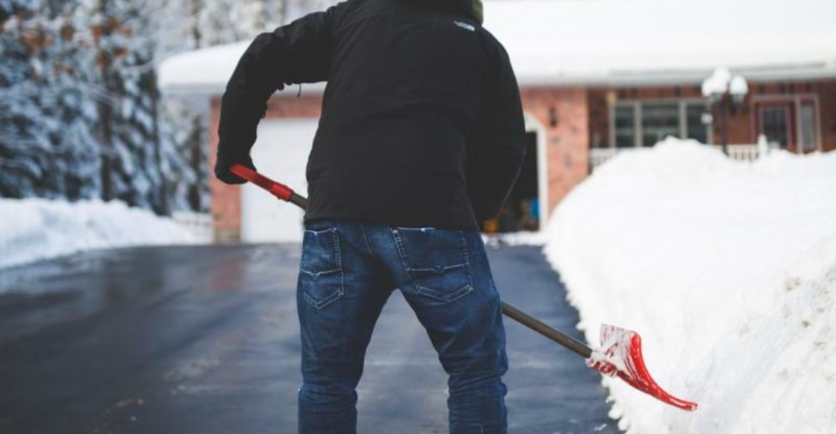
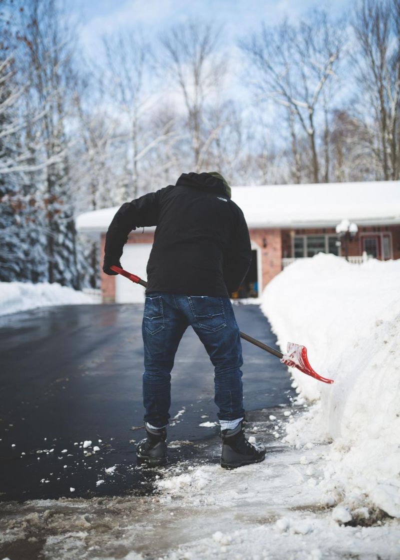
For you, the takeaway is simple: secure storm drains, clear gutters, and plan travel around the wettest windows and possible pass closures. Check local forecasts and river gauges frequently. This is a dynamic, fast-evolving event.
Low-lying neighborhoods, river-adjacent communities, and coastal zones should brace for periods of intense rain capable of pushing streams toward flood stage. In hardest-hit areas, hydrologists warn of water equivalent totals surpassing a foot, translating into swollen creeks, ponding on roads, and potential basement flooding. Urban stormwater systems may struggle if downpours cluster, so give yourself extra travel time and avoid driving through water.
Up high in the Cascades, heavy snow will stack quickly, while warm layers or rain-on-snow can destabilize the pack. That mix increases avalanche risk and may drive slushy runoff that accelerates downstream rises. Pass travel could turn hazardous with whiteouts, ice, or rapidly changing conditions.
Saturated soils are another red flag, especially near burn scars or steep, deforested slopes. When hillsides drink too much, they can fail suddenly, sending mud, rocks, and downed timber across roads and into creeks. If you live below a scar or on a known slide path, prepare for quick evacuation and keep an ear out for unusual sounds.
Infrastructure will be tested: culverts, bridges, hillside roads, and drainage channels could see stress or blockage. Keep ditches clear, move valuables off floors, and stage sandbags if your spot floods easily. Monitor official watches and warnings closely, because timing and intensity bands can shift with each wave.
Atmospheric rivers are narrow jets of water vapor that can move as much moisture per day as major surface rivers. When one targets the Pacific Northwest, prevailing winds steer a focused firehose of humidity toward the coast. The moment that air meets terrain, the lift wrings moisture out quickly, yielding intense rain at low levels and heavy snow aloft.
Orographic lift is the key. As air climbs over the Olympics and Cascades, it cools, condenses, and forms precipitation at high rates. That is why coastal windward slopes and mountain faces take the brunt, while leeward areas can end up in rain shadows.
Now add a warming climate. Warmer oceans and air increase atmospheric moisture capacity, so the same wind patterns can carry more vapor. Studies indicate that with continued warming, these plumes grow stronger, wetter, and potentially more frequent.
For you, that means today’s high-end event could be a preview of tomorrow’s norm. Many of the region’s worst floods and debris flows have been tied to big atmospheric rivers, and background warming stacks the deck. Understanding this science helps you time preparations and respect watches and warnings as they evolve.


